San Bernardino National Forest: Heart Bar Campground
![]()
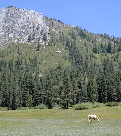
At Hwy 38 & Forest Road #1N02 is a huge, pine forested valley, right next to San Gorgonio Wilderness. Heartbar Campground, Heart Bar Horse Camps, RV Dispersed Sites. Highway 38 – SE of Big Bear Lake, California; Mountain Bike, Hiking & Equestrian Trails with ridges of 10,000′ elevation. SAN GORGONIO peak nearby. Best high elevation scenery for SoCal by far.
- backpacking
- camping
- fishing
- hiking
- mountain biking
- mountain peaks
- waterfalls
Heart Bar Campground
Big Bear Forest – HEART BAR
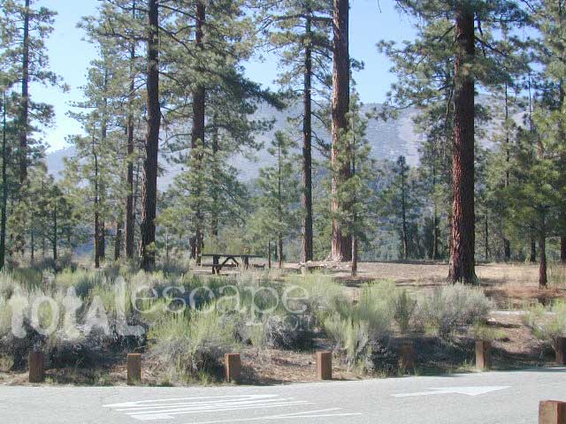
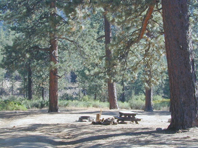
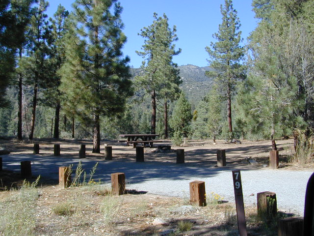
This gorgeous valley is a developed recreation area w/ 89 camp sites, plus big equestrian area. Picnic, hiking, mountain biking, horseback trails, plenty RV spots, even a creek. (Oooops I meant the Santa Ana River) Highway 38 is kinda the long way into Big Bear Lake, up thru Angelus Oaks. Locals call this stretch of the highway Barton Flats.
![]()
Bring the Horses & RVs
Group Campground facilities
Barton Flats – San Gorgonio Recreation Area
- Coon Creek Cabin Group Campground
- Council Group Campground
- Heart Bar Equestrian Group Camp
- Lobo Group Campground
- Oso Group Campground
- Skyline Group Campground
out back
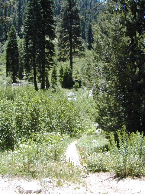
Leading out the back way of HeartBar, past the horse camp – is a nice one lane dirt road, narrow in spots, with random, primitive camp sites along the roadway. Authorities refer to these spots as yellow post camp sites.
This backcountry route is marked as Forest Service Rd #1N02 – graded dirt road that leads back to Coon Creek Cabin.

Big Bear Discovery Center
at Big Bear Lake
909-382-2790

Southern California forest
San Bernardino maps:
- San Berdu National Forest Map (USDA NFS)
- San Gorgonio Wilderness Map USDA
- San Gorgonio Trail Map (Tom Harrison)
nearby mountain communities:
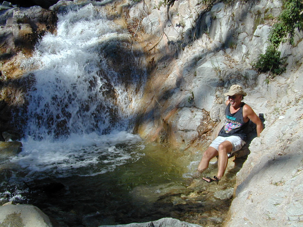
Forest Falls is well worth a stop for a quick picnic or hike – and head dunk. Weekends can be busy and crowded. Since this location is close to Southern California and the population centers, expect weekends to be busy in the Big Bear mountains. Plan a trip for week days to experience less people, and more nature.