Tag Archives: fishing

Trinity Alps Trailheads

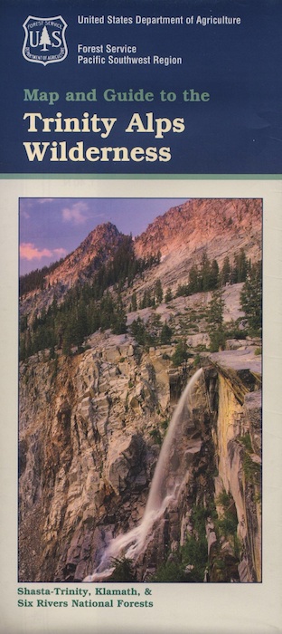
Trinity Alps Wilderness Trailheads
NorCal Hiking Vacations

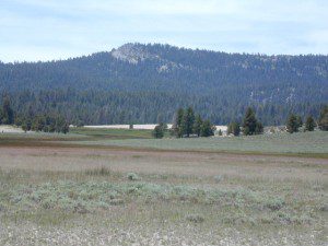
Meadow on Trinity Alps Long Canyon Trail

Northern California, Trinity Lakes
Shasta Trinity National Forest

  • backpacking
  • camping
  • fishing lakes
  • hiking trails
  • horseback trails
  • waterfalls

Trinity Alps Wilderness

hike


Trinity Wilderness trailhead locations –

trailheads from Highway 3:

  • Scott Mountain (PCT access)
  • Bear Creek
  • Eagle Creek
  • Stoddard Lake
  • Boulder Creek
  • Big Flat
  • Swift Creektrinityalps_lg

trailheads from Highway 299:

  • Canyon Creek
  • Hobo Gulch
  • French Creek
  • Green Mountain
  • Jim Jam Ridge
  • East Fork
  • New River
  • Grizzly Camp

trailheads from Highway 96:

  • Tish Tang
  • Red Cap Lake
  • Bear Hole
  • Mill Creek Lake
  • Salmon Summit

trailheads from north @ Salmon River, Cecilville Rd #1C02:

  • Hidden Horse
  • Trail Creek
  • Carter Meadows Summit (PCT access)
  • Middle Boulder

Trinity Alps Wilderness Trail
Overview @ SummitPost

Ponderosa Flat Campground

Butt Lake California
Ponderosa Flats Campground

DSCN0101

Lake Camping NorCal

RV camping, tent camping, fishing, hiking, swimming, boat launch, handicap accessible.

Ponderosa Campground – PG&E Campground,  located 3 miles from Lake Almanor

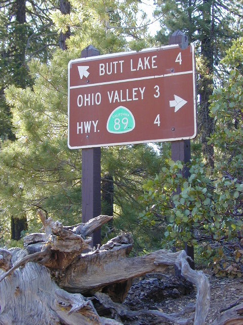
Tucked away off the main drag of Plumas Hwy 89. North end of Butt Valley Reservoir on east shore. Turn off about 6 miles northwest of Lake Almanor Canyon Dam on Hwy. 89, take Butt Valley Road south for 3.2 miles.

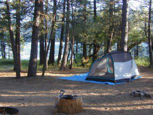
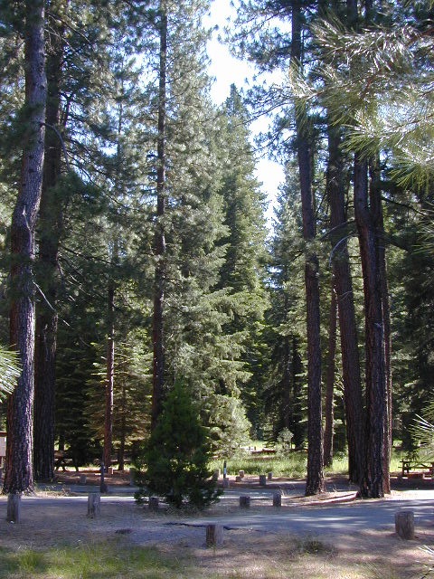
Set in a Ponderosa Pine forest along the shores of Butt Lake, part of a system of reservoirs formed by hydro-electric dams managed by Pacific Gas & Electric.  Lake levels can change rapidly with minimal warning.

DSCN0117

Quiet lake in California: No water skiing, jet ski or race boats; only small motorized fishing boats.  Canoeing, kayaking and sail boating are also popular lake recreation. Off road areas nearby.

• Elevation: 4,150′
• Number of Sites: 63
• Camping Reservations: Yes
• Sites Available: Reservations; First come, First serve
• Vehicle Accessibility: Vehicle 32 ft. max. No RV Hookups
• Length of Stay: 14 Days
• Water: Piped; lake
• Toilet: Vault
• Season: Closed for winter, Nov-April
• Fee: Yes
• Operated By: PG&E
• Closest Town: Lake Almanor, CA

Pacific Gas & Electric
Almanor Ranger Station
916-386-5164

Ohio Valley Route
The alternate dirt road access thru Ohio Valley is graded dirt w/ rough roads that may require 4×4 or high clearance vehicles. RVs are not advised to travel this way.

nearby destinations –

Douglas City Campground

Trinity River Campground

Douglas Steiner Flat Camping

douglasbeach

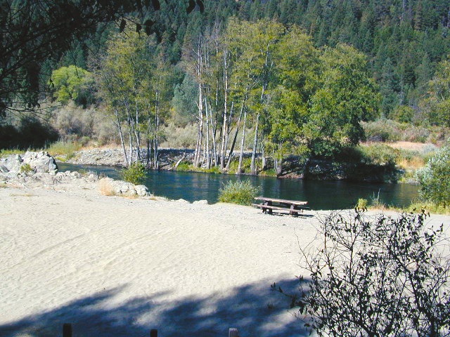
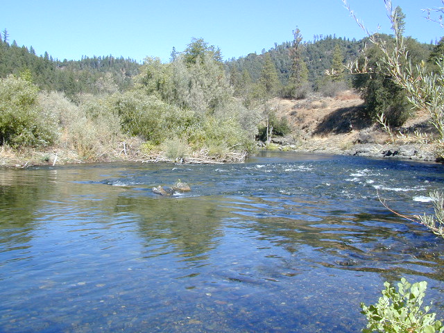
Northern California river camping. Douglas City is hardly even a town much less a city. A post office and a general store is the majority of what makes up this riverfront locale.

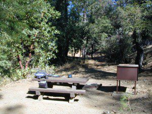
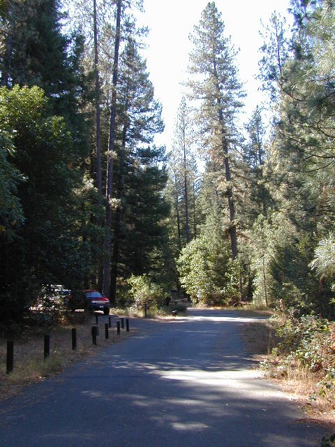
Tucked away on the scenic Trinity River, this small campground is perfect for those wanting to explore the Trinity River, Trinity Lake or the Trinity Alps region. Region is well known for fishing, hiking, kayaking and rafting. A small beach allows for river access. Group picnic area, picnic tables, telephone, beach, paved loop road are just a few amenities.

From Douglas City, drive half mile west on Hwy 299 to Steiner Flat Road. Follow signs to the developed camp. Numerous dirt roads lead to river edge, so there are primitive camping options available along Steiner Flat Road for those seeking free overnight stays.

• Elevation: 1,500′
• Number of Sites: 20
• Camping Reservations: No
• Sites Available: First come, First serve
• Vehicle Accessibility: Vehicle limit 28 ft. max.
• Length of Stay: 14 Days
• Water: Piped; river nearby
• Toilet: Flush & Vault
• Season: Closed for winter, Nov-April
• Fee: Yes
• Operated By: Bureau of Land Management
• Closest Town: Douglas City, CA

BLM Redding Ranger Station
530-224-2100

dscn0001
nearby destinations –
Chanchelulla Wilderness
Chappie Shasta OHV Area
Douglas City, CA
Lewiston Lake
Shasta Trinity National Forest
Trinity Alps Wilderness
Trinity Lake
Weaverville, CA
Whiskeytown Lake NRA

dscn0004

dscn0003

Saddlebag Lake Campground

Saddlebag Lake, Yosemite East Side

Inyo National Forest @ Tioga Pass, Hwy 120

Yosemite High Elevation Campground

Yosemite Lake View Camp Sites

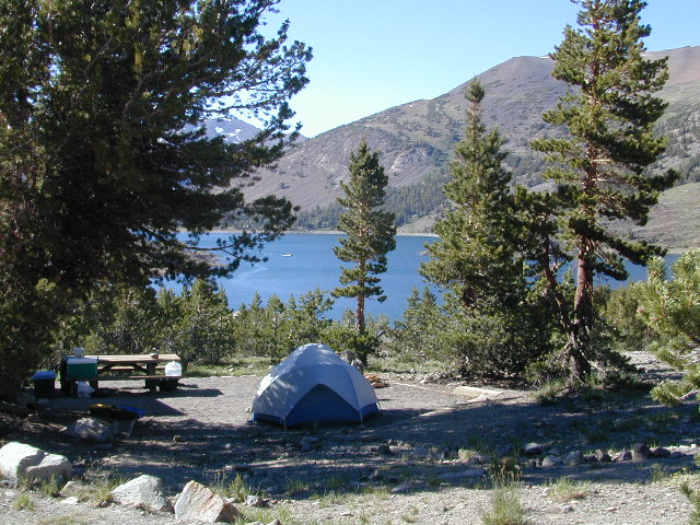
Tioga Pass camping on the eastern side of Yosemite National Park, just outside park boundaries is Inyo National Forest lands. Snow is usually epic up here and some of the deepest on the range of light.

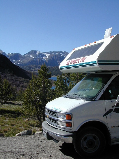
Several prime campgrounds line this popular Sierra pass, highway 120. Most camps are located along the busy highway just outside the National Park gate. Behold, this prime choice destination is a few miles back off the highway, at the end of a graded dirt road. Smaller RVs okay.

Saddle Bag Lake

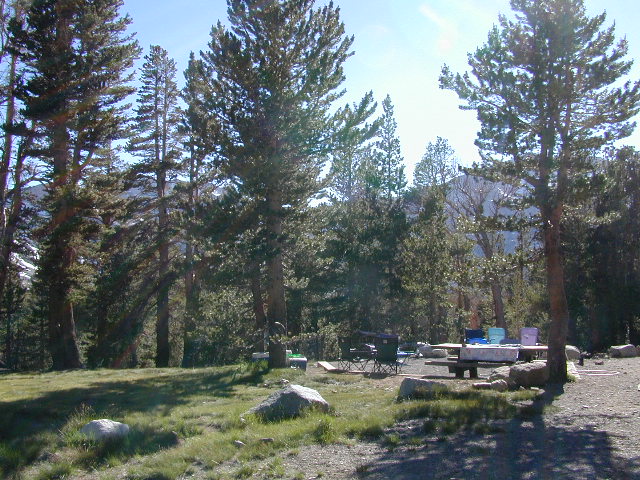
High altitude, tree line, thin air, snow melt everywhere, spectacular elevations and dark skies make this an awesome stargazing spot. Summer is busy with trailers, boat rentals, horses and day hikers. Locals and fishermen use this small campground often, so tourists should feel lucky to find such a rare camp here. First come, First serve, when it is open (only half the year).

Elevation: 10,000′
Number of Sites: 19
Camping Reservations: No
Sites Available: First come, First serve
Vehicle Accessibility: Vehicle limit 22 ft. max.
Length of Stay: 14 Days
Water: Piped; lake, creek nearby
Toilet: Vault
Season: Closed during winter & spring
Fee: Yes
Operated By: National Forest Service
Closest Town: Lee Vining, CA

Inyo National Forest
Bishop Ranger Station
760-873-2400

RV Camper Lake

Lily Pad Campground

Lilypad Campground @ Lake Wishon Reservoir
Sierra National Forest, California
The long journey up the mountain into the Sierra National Forest is only for the true adventure seekers. First off, get a good forest map. Second, plan several days if not a full week off of work to explore this region in depth. It is a long drive from most anywhere in California, and this spot is way, way tucked back in there right up against the High Sierra peaks and wildness.

East of in Fresno, historic village of Clovis is a good lunch stop in route. Drive up mountain on Hwy. 168, turn right at Shaver Lake on to Dinkey Creek Rd. Now you will clock the mileage 28.7 miles to the camp. Drive past McKinley Grove and past Dinkey Creek. Follow signs to Wishon Reservoir. This campground is located adjacent to the road before you reach the dam.

All this travel time will have you asking ‘is it worth it’? The answer is ‘yes’….. if you want an uncrowded lake with plenty of wilderness surrounding you. Granite rock and forest all around. Lake Wishon is a hydroelectric reservoir operated by PG&E

Lily Pad Campground

Central Sierra Camping – Wishon Lake

High Sierra Rangers Office: 559-855-5355

• Elevation: 6,500′
• Number of Sites: 15
• Camping Reservations: No
• Sites Available: First come, First serve
• Vehicle Accessibility: 35′ limit on RVs & trailers
• Length of Stay: 14 Days
• Toilet: Vault
• Water: Piped
• Season: Closed in Winter Snow
• Fee: Yes
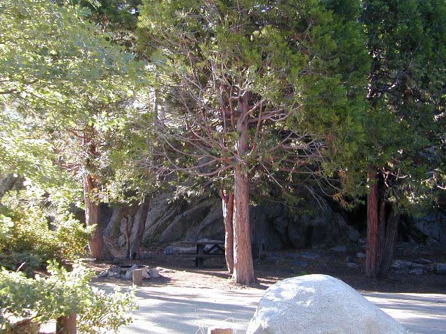
camp sites at lake

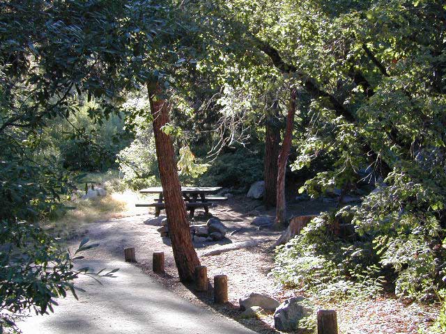
Large granite boulder coves provide cubby-hole privacy w/ shady trees and well spaced camp sites. Very unique design with paved driveways, adequate for handicapped camping with some sites with better access than others. 4 camp sites are considered walk-in sites.

Lake views from camps are only a mere climb up to the top of the nearest granite, which will show you just how close you are sleeping to the big water.

As with any Sierra location, holiday and summer weekends are the most busy. Tourists, family campers and RVers are all out enjoying the sunshine. Mid-week camping is good for fishing, relaxing w/ peace and quiet. Off season is best for having the place to yourself.

Outdoor recreation in the area include – hiking, camping, backpacking, rock climbing, mountaineering, sightseeing, kayaking, canoeing, mountain biking, off-roading, creek fishing, lake fishing.


Neighboring Wishon Village has a small general store, RV park w/ wifi & boat rentals.


Golden Trout Wilderness

Golden Trout Wilderness Area

granite Upper Kern River is Mount Whitney snow melt
  • 303,511 acres
  • elevation range 1,000′ – ­13,000′
  • pine forest, chaparral
  • granite walls, domes
  • 379 miles of trail
  • summers are busy
  • snow in winter
  • best in early spring
  • wood fires may be restricted
  • portable stoves permitted
  • water plentiful
  • rock climbing & mountaineering
  • fishing
  • backpacking
  • primitive hot springs
  • waterfalls, swimming holes
  • wilderness permits required for overnight
Golden Trout Wilderness surrounds the mighty gorge of the Upper Kern Canyon, south of Mount Whitney.
Inside

TULARE COUNTY

bordering

Inyo National Forest

Sequoia National Forest

Eastern Sierra Interagency Center
760-876-6200

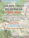
Golden Trout / South Sierra Wilderness Map USDA

Golden Trout Trail Map

Located in the South Sierra Nevada mountains alongside the Southern Sierra Wilderness. Inside the remote rugged peaks of a deep, granite crevasse known as the Upper Kern River with ancient Sequoia forest to the west and to the eats, some of the tallest peaks in the Sierra range. This wild land area is home to the California golden trout and is the main water flow southward from the tallest peak in the lower 48  – Mount Whitney on the Eastern Sierra front.

Sequoia National Forest
Monache Meadows
Inyo National Forest
Mountain Home State Forest
Sequoia National Park
Mineral King

Golden Trout Wilderness

Roads, campgrounds and trailheads surrounding Golden Trout Wilderness

Eastern Sierra –

Horseshoe Meadows Road (paved) leads up to high elevation meadows from the high deserts of Lone Pine, CA. Pacific Crest Trail (PCT) access; Mount Whitney and John Muir Wilderness are to the north. Equestrian corrals and horse trails. Camping is limited to a one night stay at any of the 3 campgrounds up here.

Golden Trout Trailhead Campground: elevation 10,000′ / 12 walk-in sites / closed winter
Horseshoe Meadows Campground: elevation 10,000′ / 18 walk-in sites / closed winter
Cottonwood Equestrian Camp: elevation 10,000′ / 10 horse corrals / closed winter

Forks of  the Kern –

Fork of the Kern / Loyds Meadow Road #22S82 – This main paved road connects the Kern River (Sierra Hwy Road #99) to the lower elevation, granite slopes of the Western Divide, and the route dead ends at Jerky Meadow parking lot. Camp 1-6 are primitive camp areas located on dirt side roads and 4×4 might be required on some of them. Obtain a campfire permit from rangers in Kernville. Fishing, camping, waterfalls and swimming holes are popular in this region. The big developed camp along this road, is located 10 miles up, in a pine filled valley on Peppermint Creek on the west side of the street and is within the Giant Sequoia National Monument.

Lower Peppermint Campground: elevation 5300′ / 17 camp sites / open year round

Lloyd Meadows @ Sequoia Forest Road# 20S67 – is the Forks of the Kern Trailhead & the dirt road that accesses it, is very popular among equestrian campers.

Western Divide Highway –

Road #20S79 leads from Western Divide Hwy to Lewis trailhead.
Road #20S50 leads from Western Divide Hwy to 2 hiking trailheads.

Sequoia National Park, Three Rivers, CA –topo maps

South Fork Road leads up Kaweah River at Southfork trailhead.
Mineral King Road is only open seasonally, access to high country lakes and trailheads.


SEQUOIA AREA MAPS –

Golden Trout Wilderness Maps
Sequoia National Forest Map USDA
Inyo National Forest Map USDA
Mineral King Map
Sequoia & Kings Canyon NP Map
NatGeo Sequoia Kings Map

Golden Trout Wilderness trailheads:

east side –
Cottonwood Trailhead (near Lone Pine)
Blackrock Trailhead (Monache Mdws)

south side –
Jerky Trailhead
Forks of the Kern Trailhead
Lewis Camp Trailhead (Western Divide)
Summit Trailhead (Western Divide)
Clicks Creek Trailhead (Western Divide)
Camp Wishon Trailhead (Western Divide)

west side –
South Fork Trailhead (Three Rivers)
Atwell Mill Trailhead (Silver City)
Franklin Pass Trailhead (Mineral King)

List of nearby towns: