Tag Archives: foothills

Gold Country California

Gold Country Sierra Nevada

historic murphys hotel

1849:
California Gold Rush began

These foothill regions below are the rivers & mountains of the infamous California Gold Rush of the mid-1800’s. Many mountain dirt roads will lead to your secluded, private camp site, near a creek or river. Or plan on camping in a developed Campground near a recreation lake lined with amenities, pine trees & oaks. River rafting & kayaking can be found throughout this area, as well as backpacking, mountain biking and hiking trails. Fishing is very popular as well.

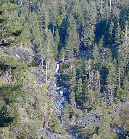
Waterfalls, back roads, granite features, historic mining camps, big fishing rivers all abound. Wilderness backpacking in the High Sierra can be accessed by Hwy 108 (Sonora Pass) Hwy 4 (Ebbetts Pass) Hwy 88 (Carson Pass), Sierra US Route Hwy 50 & Interstate 80. Numerous small towns populate Historic Highway 49 for every tourists need – meals, laundry, grocery, coffee, lodging & shopping.
waterfalls Sierra Nevada

Gold Country California forest & parks –

Hwy 4 Ebbetts Pass & Hwy 108 Sonora Pass

Stanislaus National Forest
Columbia State Park

Arnold, Columbia, Dardanelle, Jamestown, Long Barn, Mi-Wuk, Murphys, Pinecrest, Sonora, Strawberry, Twain Harte

Sierra Nevada

Hwy 4 Ebbetts Pass & Hwy 88 Carson Pass, US Hwy 50

El Dorado National Forest

Amador City, Bear Valley, Georgetown, Jackson, Kirkwood, Meyers, Placerville

Sierra Nevada

Interstate 80 Donner Pass

Tahoe National Forest

Alta, Colfax, Foresthill, Grass Valley, Norden, Sierraville, Soda Springs, Tahoe City, Tahoma, Truckee

Sierra Nevada

North Hwy 49 Yuba River

Malakoff Diggins State Park

Downieville, Nevada City

red brick alley

San Diego Hiking Trails

San Diego hikes, SD hiking, San Diego Mountains

Anza Borrego Desert Slot Canyons

Back a couple of decades ago, inspiration and research for creating this very web site began in the deserted hills behind San Diego. Escaping the city at every chance, some feel the rat race more than others. Luckily the desert is close and there is plenty of space for everyone. California boulders and badlands, hot springs, pine meadows, great views, oak forests creeks, coastal cliffs and lush canyons near downtown, SD does have some awesome hiking trails – even a few waterfalls too.

LagunaMdws

San Diego County Parks Map w/ links
descanso_sign
SD small towns w/ hiking trails nearby
signjulian

San Diego Hiking Maps

ClevelandMap_07

Ishi Wilderness

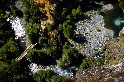
Bridge and Chute from top of Black Rock

NorCal Ishi Wilderness

41,840 acres
20 miles N of Chico, CA
Lassen National Forest

  • Barkley Mountain (elev. 4488′)
  • Black Rock Campground
  • Deer Creek
  • Flat Iron Mountain (elev. 4400′)
  • Iron Mountain (elev. 3274′)
  • Indian Ridge Campground
  • Mill Creek
  • Peligreen Place
  • Pine Creek
  • Pinnacle Peak (elev. 3293′)
  • South Antelope Campground
  • Twentymile Hollow

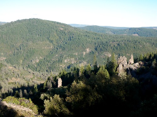
Up in the mountains behind Chico sits a rugged landscape of deep canyons lined with bizarre rock formations and roaring mountain creeks. Wilderness encompasses lower elevations – ranging from 1500′ – 3500′  – making this outdoor destination a winter haven, when the rest of the backcountry is covered in several feet of snow. One of the most historic wilderness areas in the state, as the aboriginal existence of the Native Americans came to an end in this area.

COHASSET ROAD climbs up the volcanic fin of Cohasset Ridge into the pine forests high above the valley floor. The paved road becomes dirt and the road name changes to Ponderosa Way (Lassen Road# 28N29). The Ishi Wilderness can also be accessed from the north side via Highway 32, near the Tehama State Game Refuge.


View Larger Map

  • backpacking trails
  • hiking trails
  • fishing creeks
  • horseback trails
  • wildlife viewing


Ishi Wilderness mapIshi Wilderness Map

Ishi Wilderness


Thousand Lakes Wilderness

NorCal hiking & backpacking

Thousand Lakes California

Although the name suggests more, the number of lakes in this region is approximately seven: Eiler Lake and Box Lake are the 2 largest lakes within the Wilderness boundary. Logan Lake and North Battle Creek Reservoir are on the outskirts. Trout fishing is a popular recreation sport all around Lassen. Thousand Lakes Wilderness is part of the Cascade Range in northern California. 16,335 acres and 21 miles of trails, all managed by Lassen National Forest. The area lies midway between the mountain town of Burney and Lassen Volcanic National Park.

Volcanic activity and glaciers have combined to create the Lassen topography. Dominated by Crater Peak 8677′, which is the highest point in Lassen National Forest, this area is a reminder of the glacial action that eroded the original, much larger Thousand Lakes Volcano and created the many small lakes and ponds scattered throughout the region. Wildlife includes black-tailed deer, black bear, pika, pine marten, northern goshawk, spotted owl, pileated woodpecker, and Clark’s nutcracker. Even elk have been known to visit occasionally.

Lassen National Forest
Lassen Volcanic National Park


View Larger Map

Thousand Lakes Wilderness

Roads and trailheads surrounding Thousand Lakes Wilderness and the Wild Woods

Lassen Forest Road #16 – Ashpan Winter Recreation Area @ Hwy 44, leads to hikes on the west side of the Wilderness. Bunchgrass trailhead and Magee trailhead. LaTour State Forest, Ashpan Butte, Huckleberry Mountain, Fredonyer Peak, Crater Peak, and Whittington Butte. Lassen Route 16 is a graded dirt road that connects to Tamarack Road #4M001 at Burney Creek, near the north side of the Wilderness.

Road #32N17 – access to North Battle Creek Reservoir
Road #32N16
Road #32N24

Thousand Lakes Wilderness Map
Road #32N31 – access to North Battle Creek Reservoir

Road #32N18 leads to PG&E North Battle Creek Reservoir
North Battle Creek Campground: elevation 5600? / 15 camp sites / open Apr-Oct

Road #26 on the north side of the Wilderness, connects Hwy 89 @ Hat Creek, west to Road #32N22. Cypress trailhead is located on a side route nearby.

Road #32N23 is up on Burney Mountain elev. 7863′, another hang glider launch site.

Road #33N25 leads to the Tamarack trailhead
Road #34N78 off Hwy 44, near Logan Lake and route leads to McElroy Flat

Road #32N35 behind Burney connects to Hat Creek (the back way).


LASSEN AREA MAPS –

Lassen National Forest Map
Thousand Lakes Wilderness Map


List of Thousand Lakes Wilderness trailheads:

Bunchgrass Trailhead
Magee Trailhead
Cypress Trailhead
Tamarack Trailhead


List of nearby towns:

Tejon California

Tejon Pass / The Grapevine / Tejon Ranch

tejon poppies

Interstate 5 California (Kern & LA County)

Tejon is the largest and oldest privately owned ranch land in California. It spans from the northern slopes of the great central valley to the tops of the oak sided mountains. The Tejon Pass 4144′ elevation, is Interstate 5. The golden state freeway zooms by connecting north Los Angeles to the Central Valley…. at 80mph. Watch for CHP near here. It’s easy to go down hill at 90 and not even realize it.

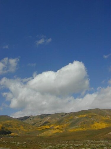
The old portion of this mountain pass is known as the Historic Ridge Route, and many overgrown miles can still be traveled on the back road. Off road and motorbike trails join up with old sections of crumbling highway between Lake Castiac and Pyramid.  The artist Christo erected 1760 yellow umbrellas along these hillsides between Gorman and Tejon, back in 1991. Awesome wildflowers bloom throughout Tejon, Lebec to Gorman each spring from late March thru May.

Angeles National Forest is on the east side of the freeway w/ Castiac Lake and Los PadresNational Forest is on the west side, with Pyramid Lake. Back roads camping and total seclusion is prime pickins in this region, if you have a decent map and are willing to drive a little

Family campgrounds, RV astronomy sites, 4×4 camps on dirt roads, off road parks, walk in campground to alpine meadows, ridge line forest camps, backpacking, horsepacking, mountain biking, hiking. Numerous campgrounds can easily be found by driving 30 minutes from the “Frazier Park Mountain Road” exit off the freeway. Most folks aim for Mount Pinos, but the whole Los Padres forest is devine.

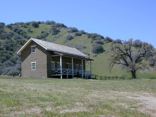
The fort location was established by the U.S. Army in 1854 and was designed to protect Native Americans. Restored adobes and museum feature exhibits on military life and local history. They also hold living history events performed by volunteers in costume. The park has a number of 400 year-old valley oak trees. Mister Peter Lebeck was killed by a grizzly here and there is even a tree to prove it.

Tejon photos

Fort Tejon Uniforms

Originally uploaded by danamight

Tejon Industrial Complex: This is the first large scale development in a master planned laid out by the privately owned Tejon Ranch Corporation. Another trucker stop on the opposite side of the freeway is already underway. In-N-Out Burger, Starbucks, McDonalds, IKEA distribution center, gasoline @ the bottom of the Grapevine. 30 miles south of Bakersfield & just down the hill from Lebec.

towns nearby –


Angeles National Forest Map
Angeles Forest Map
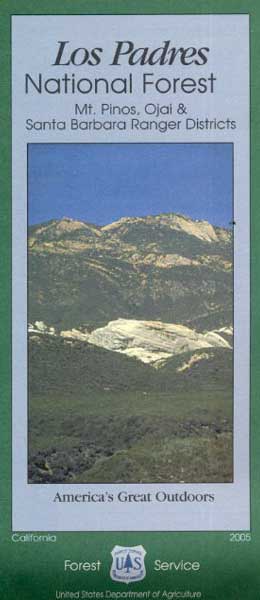
Los Padres National Forest Map: South
Los Padres Forest Map: South

Gorman Gold

Headed to Kern River ?

KERN COUNTY RD 184 = LAVAL ROAD: Wheeler Ridge. This is your freeway exit northbound if you wanna bypass Bako city traffic, on the way to Lake Isabella & Kernville.

Gas up in Lamont, it’s cheaper on the north end of town. Great little taco shops abound. Best bypass thru the farm belt to the Sierra Nevada.