
Northern California Coast Hotels & Camps
 The north coast of California is dubbed the Redwood Empire, and driving north on US Hwy 101 passing the well-known wine country and communities near Clear Lake, means you’ve entered the official redwood region of Cali.
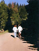
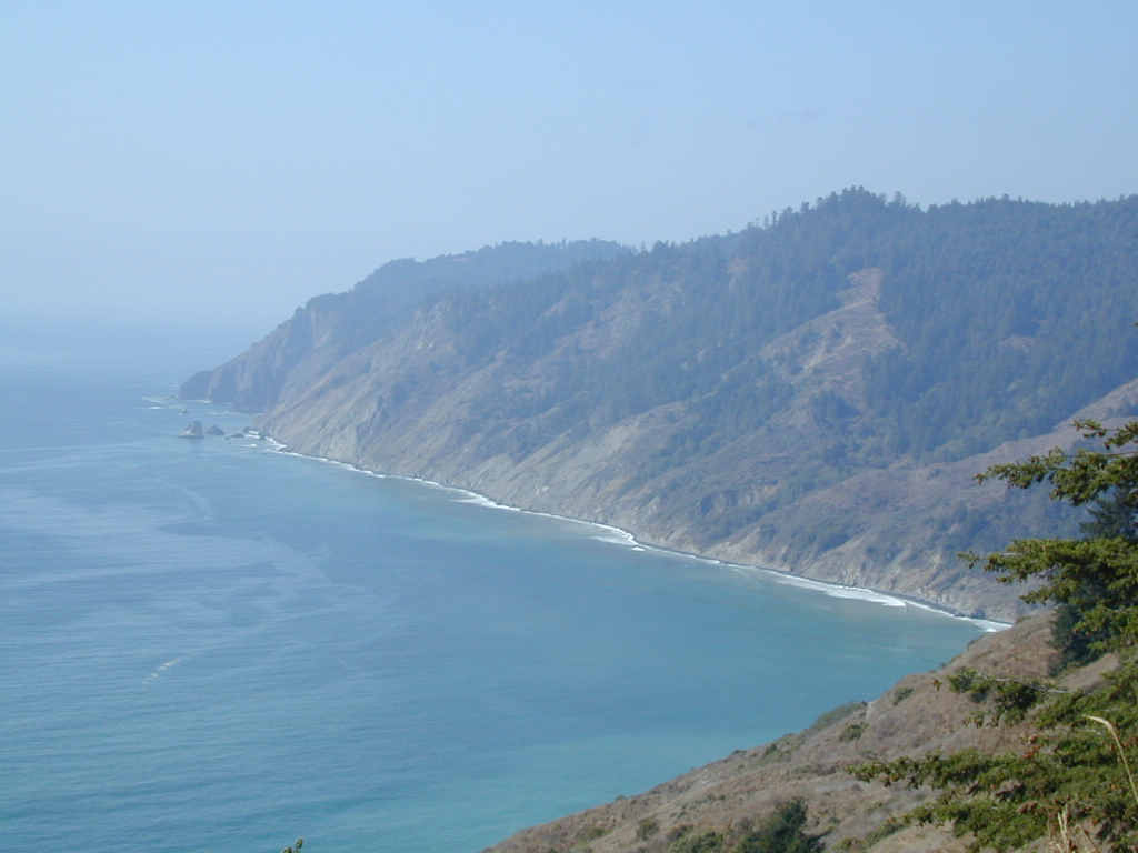
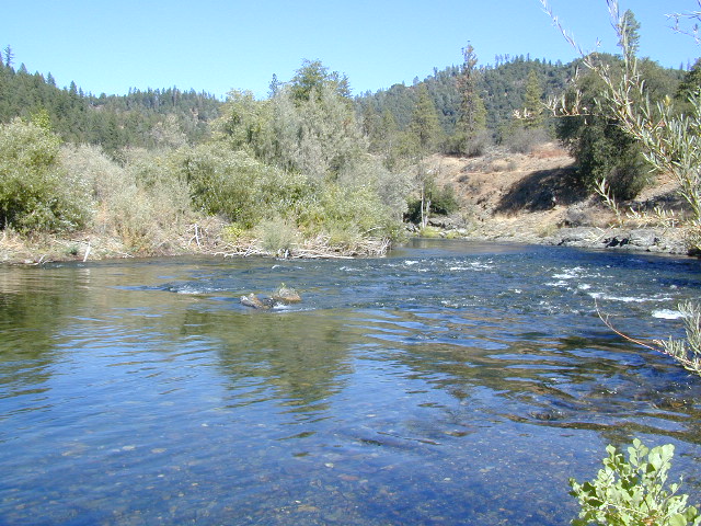
With over 150 mile stretch between Ukiah & Crescent City, on the Oregon border, coastal redwoods thrive in this wet climate. All along US Highway 101 you can find every assortment of lodging, from standard hotels walking distance to village shops, to small secluded cottages tucked behind a winery. Sonoma & Mendocino vineyards merge on ridge lines, at the edge of oak countryside, with redwood forests & recreational rivers to the north.
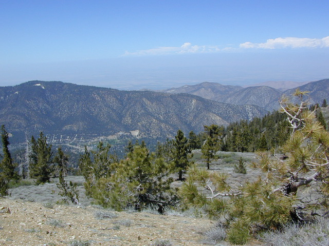
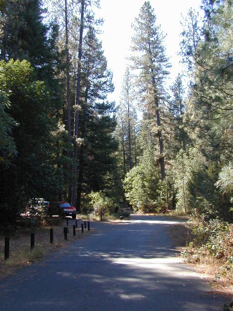
BALD HILLS ROAD: Old logging roads lead way up in elevation, behind Redwood National Park, where you can find free camping spots and firewood piles all over the clearings. A real 4×4 vehicle will be needed in wet or snowy weather conditions. AWD wagons should be cautious of deep mud and know the weather conditions ahead of time. The main gravel/dirt route traverses the Bald Hills range at 3000′ elevation and ‘epic view’ campsites are abundant. Pine Creek Road drops east into Klamath River Canyon down to Klamath Hwy 96.

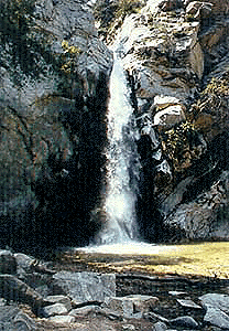
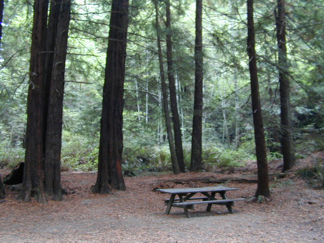
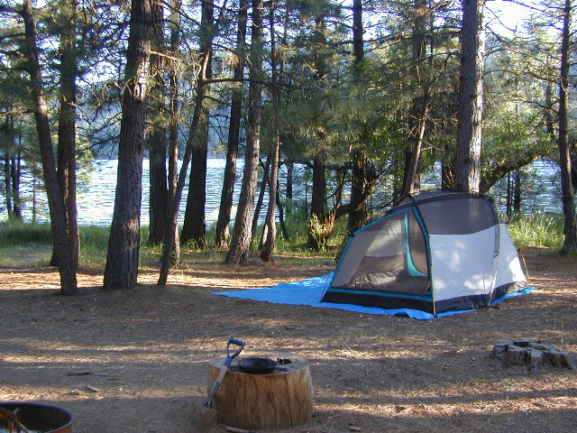
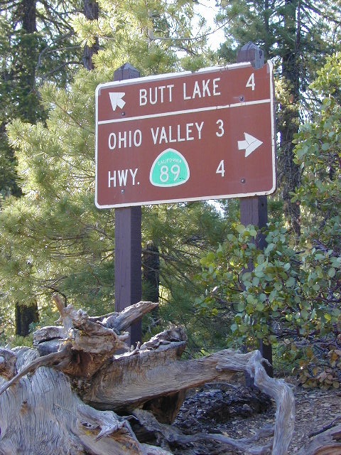
USAL BEACH: In the olden days, USA Lumber Company had a prime place on the Lost Coast. Now it is a wonderful destination w/ remote beach campground hidden in the trees, next to the redwoods and creek, and the cliffs – and a big sandy beach w/ giant driftwood!
Towns w/ Redwood Lodging in NorCal –
- Albion CA
- Arcata CA
- Boonville CA
- Crescent City CA

- Garberville CA
- Gasquet CA
- Guerneville CA
- Klamath CA
- Laytonville CA
- Leggett CA
- Orick CA
- Philo CA
- Scotia CA
- Shelter Cove CA
- Willits CA
Redwood Parks in NorCal –
(from south to north, with closest town)
- Hendy Woods State Park, Philo CA
- Navarro River Redwoods State Park, Albion CA
- Mendocino Woodlands State Park, Mendocino CA
- Admiral William Standley SRA, Laytonville CA
- Standish Hickey SRA, Leggett CA
- Smithe Redwoods State Park, Leggett CA
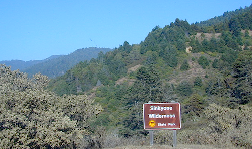
- Sinkyone Wilderness State Park, Shelter Cove CA
- Richardson Grove State Park, Garberville CA
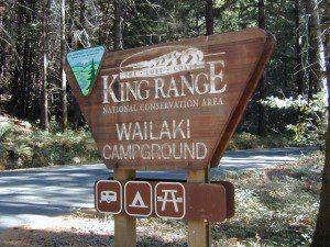
- Kings Range National Conservation Area, Shelter Cove CA
- Humboldt Redwoods State Park, Scotia, CA
- Grizzly Creek Redwoods State Park, Scotia, CA
- Redwood National Park, Orick CA
- Prairie Creek Redwoods State Park, Orick CA
- Del Norte Coast Redwoods State Park, Klamath CA
- Jedediah Smith Redwood State Park, Crescent City CA
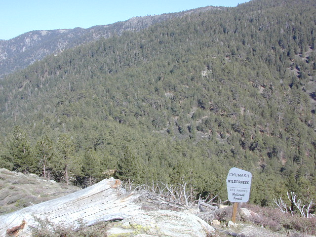
- Six Rivers National Forest, Crescent City CA
- Smith River NRA, Crescent City CA
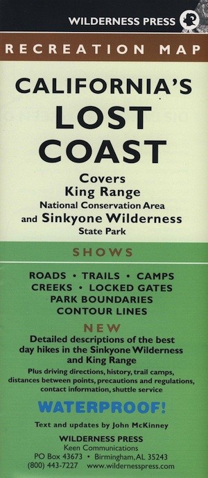
REDWOOD MAP

Topographic hiking and camping maps of the NorCal Redwood region –


 CAMPGROUND RESERVATIONS


