Yellow Post Camping
Yellow Stake Camp Sites / Back Roads Camping NFS
near Cajon Pass, Big Bear & Idyllwild CA
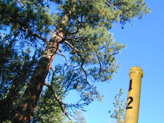
YELLOW POST CAMPS are dispersed camping sites on the back roads in Southern California, where fire danger is greatest. Forest authorities have designated certain spots as ‘fire safe’ for remote, open camping options around Big Bear Lake, Fawnskin and the Idyllwild mountain area.
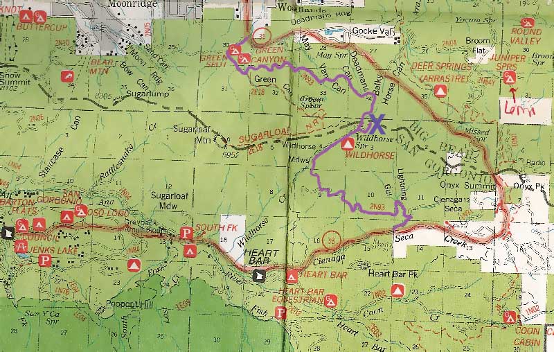
If you prefer to stay out of the developed campgrounds, you will be the minority. But you must know how to read a map well to reach these beauties.
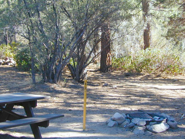
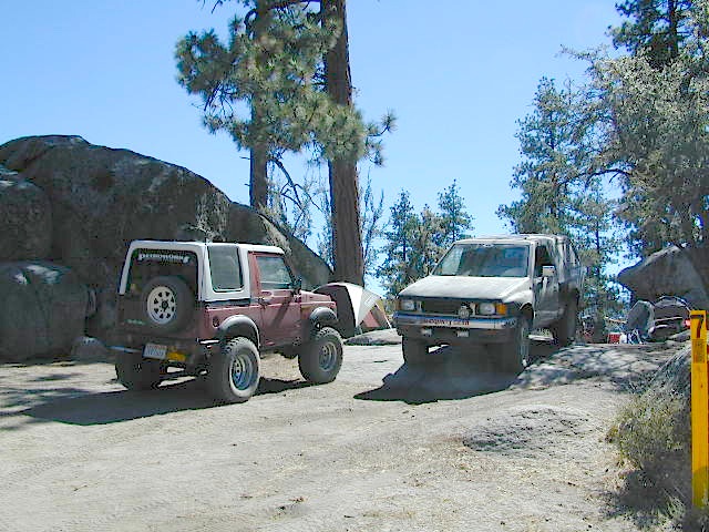
SoCal camping doesn’t have to mean crowded campgrounds. Seek your seclusion on the dirt back roads, where there are no fees, minimal noises & a private site waiting just for you. These are usually on a first come, first serve basis. A high clearance vehicle (SUV, truck or 4×4) may be needed to reach some of the premium camp spots, but there are also sites accessible by passenger cars. And, of course, a fire permit is required.
In the San Bernardino National Forest there are several back woods ‘fire safe’ camping spots, that are noted with a single yellow post & some may require reservations in busy summer months. You can find out more on reserving from the Big Bear Discovery Center, 909-382-2790
![]() Extra caution should be used when winds are high, camp fires are often banned due to wildfire danger. Check with local rangers for up to date conditions and always get your campfire permit.
Extra caution should be used when winds are high, camp fires are often banned due to wildfire danger. Check with local rangers for up to date conditions and always get your campfire permit.
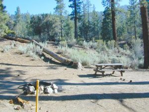
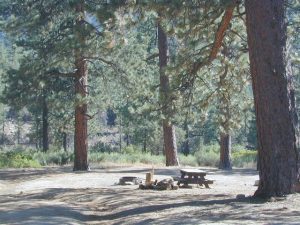
No restrooms, no water, no facilities. Just a dirt road, a fire ring & a single picnic table. Hopefully your table will not be shot up, by the local rednecks who ‘get off’ doing stupid stuff like this. Pick up any litter & leave the place better than your found it.
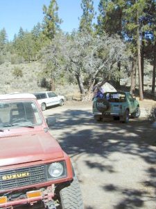
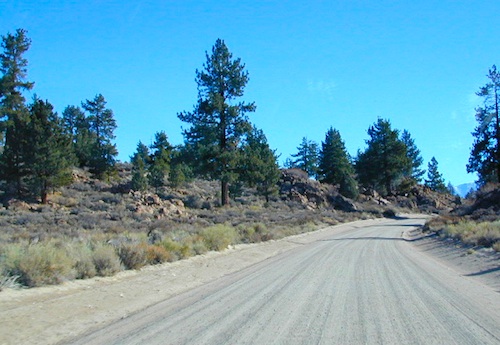
These backroad camps are perfect for the 4×4 group, stressed out social club, church group w/ rugged van, or the city SUVer who wants to get away from the crowds. The most sought after camp spots are nearest to the lake or a site accessible by RVs and horse trailers, but there are many more excellent camp sites to be discovered. USDA Forest Service Map is highly advised to reach these remote, dirt road camp areas. Rugged, steep, one lane dirt roads that lead to some of these spots. A passenger car is sometimes not suitable for all dirt roads. Rutted and steep means turn around. Wet weather changes dirt roads. Often routes close for winter w/ locked gates.
Big Bear Back Roads Camping
- Barton Flats
- Clarks Ranch
- Coon Creek Cabin
- Fawnskin Back Road Camping
- Heart Bar Campsites
- Holcomb Valley
- Horse Springs
- Ironwood Group Camp
- Keller Peak
- Mission Springs PCT Gorgonio
- Wildhorse Mdw
download PDF maps
on Big Bear Yellow Post Sites
Cajon Pass Camping near I-15
Idyllwild Dispersed Camping
- Apple Canyon
- Black Mountain
- Boulder Basin Idyllwild Camps
- Santa Rosa Mountain
- Thomas Mountain
- Tool Box Springs
- Toro Peak
Topo maps, Wilderness hiking maps, Equestrian trails, OHV maps –

 If you’ve ever tried to travel across the state with a GoogleMap, YahooMap or MapQuest one page printout, you will soon realize the limitations. Stuck in a small town called Julian, at night, on Christmas Eve, arguing with your partner, trying to find your way over to Interstate 10. Not a good plan! A
