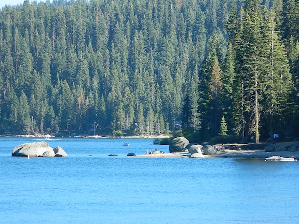
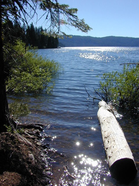
Bucks Lake, California
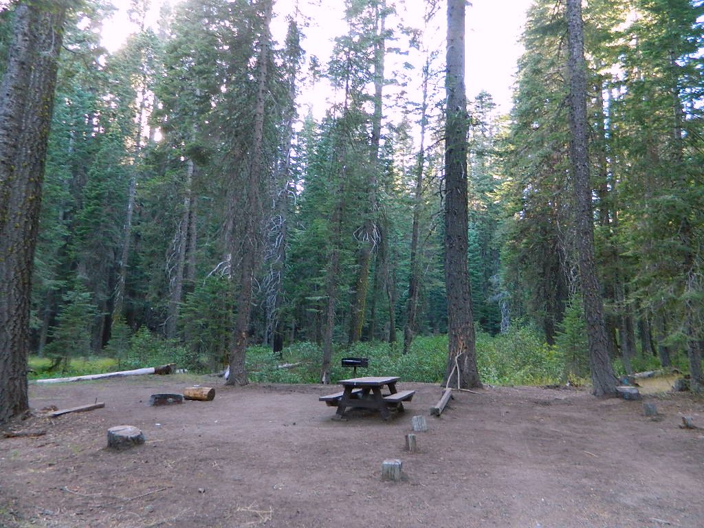
Below is a list of all the developed campgrounds & RV Parks surrounding the Bucks Lake region of Plumas National Forest in the Northern Sierra Nevada mountains. The infamous Pacific Crest Trail (PCT) runs through Bucks Lake Wilderness, so there are also trailhead camps and backcountry camp sites that are not in this list. This high elevation region closes the campgrounds for winter: NOV- APRIL
![]()
![]()
![]()
![]()
![]()
![]()
![]()
Campgrounds at Bucks Lake
| campground | elev | spots | veg | toilet | water |
| Hutchins Group Camp | 5200′ | 10 | pines | flush | piped |
| Lower Bucks Campground | 5200′ | 6 | pines | vault | piped |
| Mill Creek Campground | 5200′ | 10 | pines | vault | piped |
| Sundew Campground | 5200′ | 19 | pines | vault | piped |
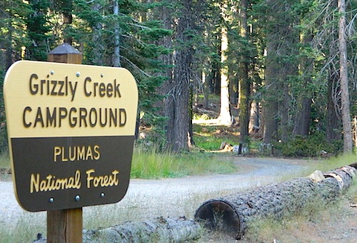
NFS Camps nearby
| campground | elev | spots | veg | toilet | water |
| Deanes Valley Campground | 4400′ | 7 | mixed | vault | creek |
| Grizzly Creek Campground | 5400′ | 8 | pines | vault | piped |
| Silver Lake Campground | 5800′ | 9 | pines | vault | lake |
| Snake Lake Campground | 4200′ | 14 | mixed | vault | lake |
| Whitehorse Campground | 5200′ | 20 | pines | vault | creek |
Oroville Ranger Station NFS
530-534-6500
Quincy Ranger Station NFS
530-283-0555
PG&E Campground @ Bucks Lake
Haskins Valley Campground
16731 Bucks Lake Rd
530-283-0256
Grizzly Forebay Campground
CLOSED in 2013 by PG&E
530-896-4263 (for more info)
RV Parks @ Bucks Lake
Bucks Lake Camp & RV
280 Bucklin Road
530-283-2221
Bucks Lake Marina
16469 Bucks Lake Rd
530-283-4243
Lakeshore Resort
16001 Bucks Lake Rd
530-283-2848