Tag Archives: Hot Springs

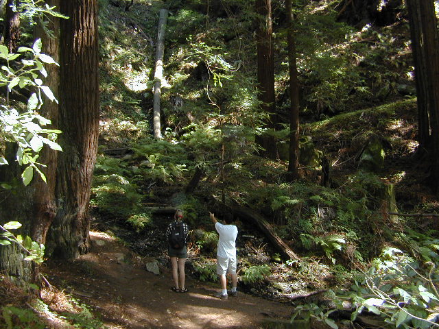
Ventana Wilderness

ventana hikes

Central Coast California
Backpacking Big Sur

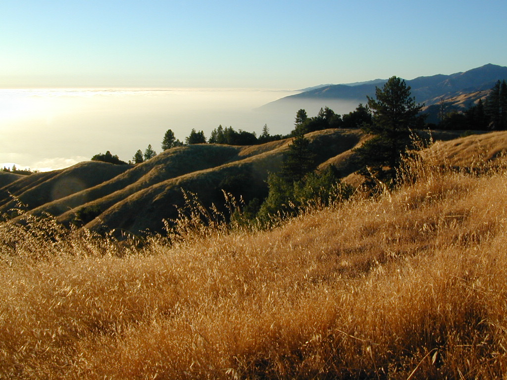
Ventana Wilderness is a 40 mile stretch of protected land located in the Santa Lucia Mountains on the Big Sur coastline in between the Monterey peninsula and the Nacimeinto-Fergusson Road #4004. Fort Hunter Liggett lies to the east side and the Pacific Ocean to the west. Ancient volcano peaks called “cones” line the pine ridges – Ventana Cone,  Ventana Double Cone, South Ventana Cone, Black Cone & Cone Peak.

240,026 acres
Cone Peak – 5155′ elevation
Los Padres National Forest
San Antoni River
Sykes Hot Springs
Tassajara Creek
Tassajara Hot Springs

campgrounds bordering area –

hiking trailheads –

  • Cone Peak
  • Escondido
  • China Camp
  • Arroyo Seco
  • Bottchers Gap

redwood hikes

nearby towns –

Central Coast Big Sur Maps

ventana map

Los Padres Forest Maps

NatGeo Big Sur Topographic Map

Pinnacles National Monument Map

Ventana Wilderness Topo Map

Smaller Silver Peak Wilderness (31,555 acres) is also featured on the same map, situated south of Ventana and north of the San Simeon Hearst Castle area.

 

Ventana Wilderness Alliance
Ventana Wildlife Society

Miracle Hot Springs

MIRACLE HOT SPRINGS on Lower Kern River is now closed!

Kern Soakers

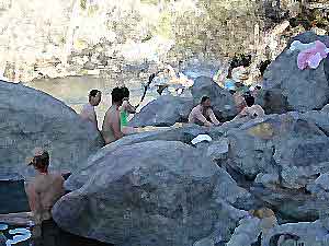
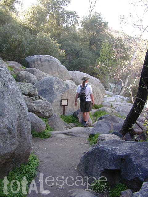
Hidden well by the dense vegetation, this multi-tub location provides a peaceful setting along the Kern River. Located on the Old Kern Canyon Road, (aka Old Kern Road) that parallels the main 4-laner Highway 178. The broken and dismantled tubs are inside a grouping of granite boulders, overlooking the Lower Kern River.  NFS Campground is walking distance away. Week days you can have the place to yourself for picnics, river fishing and hiking. Mountain biking and hiking trails at Remington trailhead.

DanaMite’s Tip: This place has no operating hot pools unless you plan to physically dam up a tub with a few found rocks. Rangers do not like this practice. If you wanna camp at Hobo Campground you can walk over & hike around to check it out. Worth a look.

Camping available next door at Hobo Campground. A few primitive spots are located on the Old Kern Canyon Rd. Free car camping, and some sites big enough for level RV camping. See the rangers at the Sequoia Mapslake for Sequoia National Forest ranger and fire permit and check fire current restrictions.

Remington Hot Springs is only 2 miles down river, but it does require a short hike and it gets very busy on weekends!

nearby towns:

Bodfish, CA
Kernville, CA
Lake Isabella, CA
Wofford Heights, CA
Alta Sierra, CA

Guadalupe Canyon Hot Springs

Guadalupe Canyon Baja Hot Springs

Canon de Guadalupe

Baja Hot Springs Camping Resort


Baja California Hot Tub

40 miles SW of Mexicali – Laguna Salada off Mexican Highway 2

Guadalupe Canyon Oasis
Palm Canyon Hot Spring Camping Resort
619-639-7597


Off road destination, palm canyon in Baja California Norte
East of San Diego
SW of El Centro / Mexicali

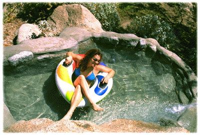
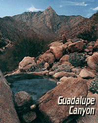
Imagine a palm oasis canyon in a remote area of the Baja desert; Cool springs that feed the lush landscape with huge boulders & cliff diving waterfalls. With each campsite featuring it’s very own custom hot springs tub. This place was a paradise 20 years ago, but is now over-developed w/ large groups, parties and camping families. If you can handle the 30+ miles of unimproved dirt roads, this spot is worth a visit mid-week. Winter months are prime time to visit the desert. Temperatures are moderate, days are pleasant & midweek has minimal tourists. Avoid holiday weekends as crowds a can get rowdy and disrupt the peaceful setting. Summer is triple digit heat for months. This canyon is hard to reach and inside a third world country, but well worth the distant journey.

Baja MapsPlenty of great hiking and petroglyph canyons, cool pools and waterfalls, granite boulders, soothing warm waters & gorgeous desert scenery. Summers are usually roasting out here, so plan your vacation accordingly. Palalpas (built for shade) add to the charm & unique look. Each campsite is unique & has a different lay out. Reservations are recommended.

A family run set of campgrounds within a steep palm canyon. Hot Springs are piped to individual pools at each campsite for a maximum of privacy. A cold creek runs through the canyon as well, feeding the palm grove below & waterfalls way up canyon. A desert oasis set upon the slopes of the Sierra Juarez Mountains in Baja.

getting there is a journey –

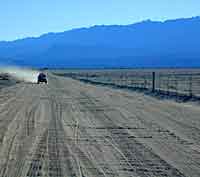
Recommended high clearance vehicle, sport utility vehicle, or truck. The last 35 miles of the trip is through rough & rugged sandy roads.

nearest towns –

Guided tours to Guadalupe Canyon can be booked thru Baja Trek. We are no longer offering Baja California trips with Total Escape Adventures

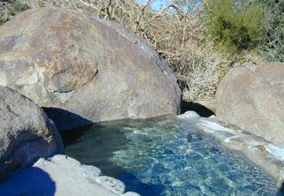
Baja hot spring photos from Total Escape Adventures trips –
FEB 2000
NOV 2000
APR 2001
NOV 2001
NOV 2002

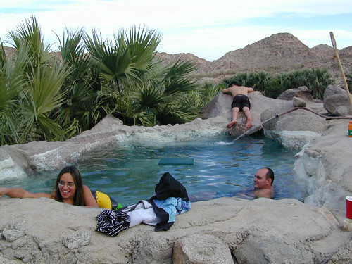
Lazy Afternoon in Baja

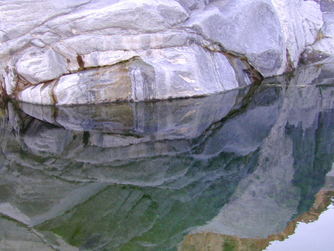
Pool Reflections 5

Deep Creek Hot Springs

Deep Creek Hike-in Hot Springs

Deep Creek Canyon

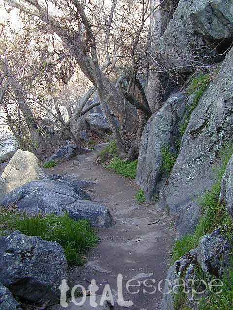
Several hot spring pools line this desert canyon on the SW side of Deep Creek. There are smaller hot tubs, as well a large warm tub that is big enough to swim in. The vegetation around the springs and main creek is fairly lush for this desert terrain. A variety of trees, including willows, plus small meadows and grasslands add to the visual balance of this land. Deep Creek is one of the popular Southern California hot springs due to its proximity to the big, urban areas.

East of Lake Arrowhead; South West of I-15 @ Hesperia & Victorville

Deep Creek Hot Springs is a hike in only site.

San Bernardino National Forest
Big Bear Map

option A: Bowen Ranch, 2 mile hike
Bowen Ranch parking area, pay a fee to the crazy man and have the shortest hike to springs. The word ‘ranch” is used to describe a small shack with some junker cars. No entry after 10PM and the man at this private property is not a friendly ranger, nor is he a pleasant person to deal with (which is why we list 2 other parking options).

Interstate 15, exit Bear Valley in Victorville. Go East on Bear Valley 10 miles to Central. Turn right on Central. Just beyond the top of the hill turn left on Ocotillo, which becomes a dirt road. Turn right on Bowen Ranch Road and continue until you get to Bowen Ranch. National Forest Trail #3W02 the Goat Trail (aka Bowen trail) is 2 miles, the steepest and shortest route into the desert creek canyon.

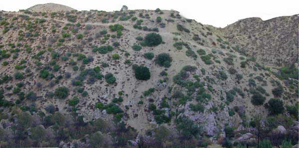
Bowen Ranch Trail, as seen from opposite side of canyon

option B: PCT Trail Route, 6 mile hike
Interstate 15, exit Hesperia & take Main St. @ Y veer left- Rock Springs Rd., right on Deep Creek Road and follow it up to Mojave River at the Saddle Dike Embankment. Park near the dam; Look for Pacific Crest Trail sign for hike up canyon to the hot springs.

option C: Bradford Ridge, 3 mile hike
Lake Arrowhead hike-in way via the Bradford Ridge Path. Take Highway 173 East, which becomes a wide graded dirt road heading toward the desert. From the shooting (rifle) range where the pavement ends, clock your trip meter on your vehicle 3 miles further down the road. Park at small pull out on the left side. Near the sign that says ‘Narrow Bridge’, where a gated old fire is directly across. Trail head was not marked. If you are into hiking, this option is for you. Narrow sandy ridge trails, single track. Bring flashlights for a successful hike out at night.


View Larger Map


DeepCreek

Deep Creek Forum – deepcreekhotsprings.net
Deep Creek Volunteers – deepcreekvolunteers.com
NFS link – http://www.fs.usda.gov/recarea/sbnf/recarea/?recid=34152