Tag Archives: hunting

Lassen Forest Roads

Lassen Backroads

Lassen National Forest roads and trailheads, surrounding Lassen NP

Lassen Forest

Lassen National Park is completely encompassed by National Forest land with dirt roads, off road trails, serene lakes, secluded camp sites, hiking trailheads and wilderness access

California State Route 89 (highway 89) runs north/south thru the middle of the park and closes for months due to winter snow.

California State Route 36 (highway 36) runs east/west on the south side of the National Park, connecting Red Bluff to Susanville, CA

California State Route 44 (highway 44) runs east/west on the north side of the National Park, connecting Redding to Susanville, CA

camp

East of Lassen National Park

Lassen Forest Road #10
Echo Lake, Silver Lake, Caribou Lake. Campgrounds, trailheads, backpacking, day hikes, parking, equestrian.

Crater Lake on the north side of Hwy 44

Lassen Forest Road #318
Juniper Lake Road (aka Chester Juniper Lake Rd)
N of Chester, CA
paved first 5 miles, then becomes graded dirt road for another 5.

Benner Creek runs along the first half of this route w/ Banner Creek Campground: elevation 5562′ / 9 camp sites / open May-Nov

Juniper Lake at end of road w/ NPS campground
elevation 6792′ / 18 camp sites / open June-Sept

Lassen Forest Road #312
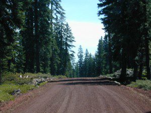
Warner Valley Road (aka Drakesbad Road)
N of Chester, CA
10 miles long, paved most of the way, then becomes graded dirt road out to Drakesbad meadow.

Lassen Forest Road #311
W of Chester, CA

Wilson Lake Road, connects Hwy 36 to Road #312
Domingo Springs Campground: elevation 5060′ / 18 camp sites / open May-Nov

fish

Lassen Road #29N18
W of Chester, CA
Loop route off Forest Road #311 w/ North Fork of the Feather River, leading to Elizabeth Lake trailhead

Lassen Road #29N19
W of Chester, CA
Graded dirt road w/easy access. Connects Forest Road #311 to highway, paralleling Hwy 36. Lost Creek runs along this route w/ Willow Springs Campground: elevation 5100′ / 14 camp sites / open May-Nov

West of Lassen National Park

Lassen Forest Road #17
W of Lassen NP
North-South dirt road that connects highway 36 to highway 44.

Heart Lake trailhead
At the south end on Hwy 36 is Battle Creek Campground: elevation 4800′ / 50 camp sites / open April-Oct

Lassen Forest Road #29N22
Mineral Road connects Hwy 89 to Viola on Hwy 44
McGowan Lake Winter Recreation Area at South entrance of Lassen National Park
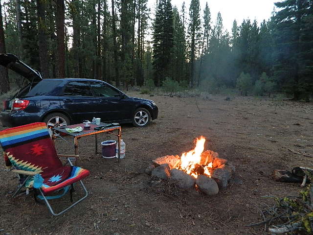
nlassen
Camping North Lassen

North of Lassen National Park

Lassen Forest Road #32N13
Lassen Forest Road #32N22 (PCT crosses this route)
Twin Bridges networks dirt roads @ Hat Creek.
near Old Station Visitors Center (junction Hwy 89 & 44).

Hat Creek and Cave Campground on highway 89, Big Pine Campground off highway; Numerous dirt back roads for dispersed camping, near the viewpoint on highway 44

Road #32N20
Road #32N56 – road just south of Subway Cave near Old Station, off SR Hwy 44 lead to small Baker Lake.

Road #32N92Y side route leading from Hwy 44 to Road #32N21 along Butte Creek.
Butte Lake Ranger Station and Butte Lake Campground: elevation 5600′ / 20 camp sites /open May-Oct

Road #32N09 connects Forest Road #10 to Widow Lake trailhead and Butte Lake.
Road #32N60 is Bogart Winter Recreation Area, at Hwy 44

Hat Creek Lassen Road #18 runs north/south along Hat Creek Rim. Dirt road parallels Hat Creek Valley on the east side of Hwy 89
Road #22 connects Hwy 89 to Hat Creek Rim. A popular hang glider launch area after the University of California Radio Astronomy Observatory, then the road continues eastbound to cross Pittville Rd #111 and ends up at Little Valley

Lassen NF Road #111 is Pittville Rd, runs north/south paralleling Hat Creek Rim to the east side. This 30 mile long route connects Hwy 44 to Pitt River at Hwy 299 near Fall River Mills, CA

LASSEN MAPS
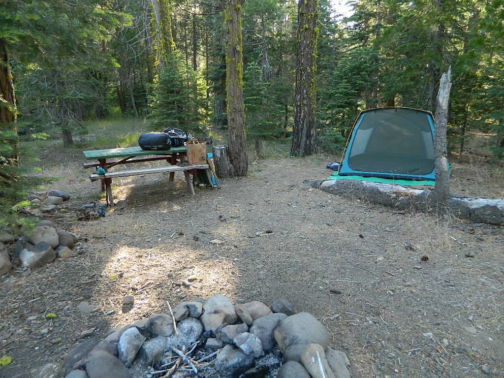
Lassen Camping for Free, Mill Creek @ 172
Lassen Camping for Free on Mill Creek

campfire

see also – Thousand Lakes Wilderness & Lassen Lakes

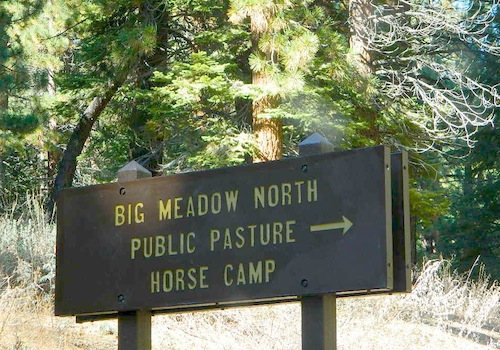
Big Meadow Sequoia

Big Meadow Kern

Big Meadow – Kern Plateau

Sherman’s Pass, Sequoia National Forest
Big Meadow borders Dome Land Wilderness
in the Southern Sierra Nevada mountains

horse camping National Forest Camps Mountain Biking Kern Hikes Trailer access camping

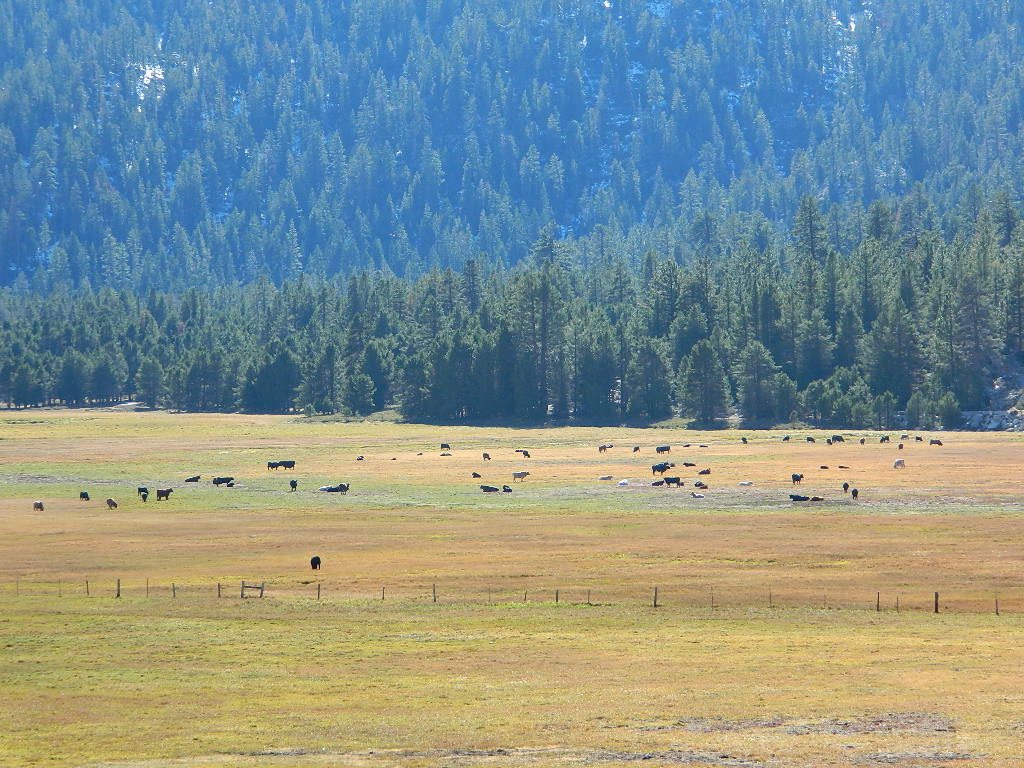
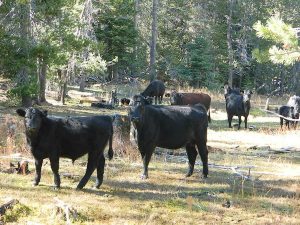
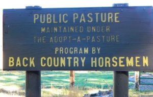
There are many large and gorgeous meadows inside Sequoia National Forest, but none compare in ‘grandeur’ to this southern Sierra public pasture. BIG MEADOW KERN

Find your way north of Kernville and the river really comes into view. Up close, right there! Stop, get out of the vehicle for a stretch break and breathe; take it all in. This is only the start of the adventure. Gorgeous Big Meadow is located up on the Kern Plateau, 3000′ above the river on the eastern ridges. Only accessible half the year due to snow, this meadow is a must see for those exploring the eastern side of the Kern River.

22s05 sherman pass

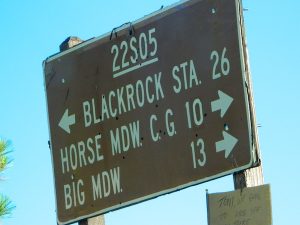
Sherman’s Pass Road #22S05 is a hard right turn after the Johnsondale Bridge. It is well signed and still easy to miss. Climb out of the dryness and into the dense forests and meadows of higher altitudes. Driving this southern Sierra-crossing route, Sherman’s Pass Rd. will require all of your concentration. Steep, curvy road without guard rails. Plus epic, scenic views (NOT to die for).

At this point – Rock slides, snow gates and road closure are typical in winter months. Check w/ rangers in Kernville about road conditions (before you head up this way).

Sequoia National Forest National Forest Camps
Kernville Ranger Station
105 Whitnet Rd
Kernville CA
760-376-3781

While traveling eastbound on Sherman’s Pass Road, the intersection to look for is

Big Meadow Road #22S12


The partially paved road will lead south a few miles, then becomes GRADED DIRT and ventures another 15+ miles – way, way out into dead-end territories. Not one road connects down to Lake Isabella!

Spur roads (all one lane, dirt roads) lead out to various places like – Cherry Hill, Big Meadow, Horse Meadow Campground, Dome Land Wilderness Trailheads, Manter Meadow, Salmon Creek Falls, Cannel Meadows, dozens of trails and spurs. Plenty of primitive camping back in these forest areas. A high clearance rig may be required the further back you go. Mud and snow are quite common in spring and fall.

Camping California Back Roads
Extra Large Camp Sites

BIG MEADOW is a favorite camp area among –
backpackers (trailheads)
equestrian (horse campers)
hunters
mountain bikers
off-road campers

westsidedrive
westside drive: ample parking and camping for horse trailers

cattlecowsbeefy

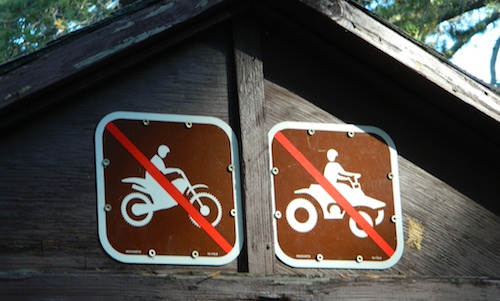
no 'froading on meadows
no ‘froading on meadows

publicpasture

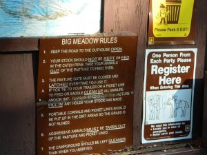
Big Meadow Rules

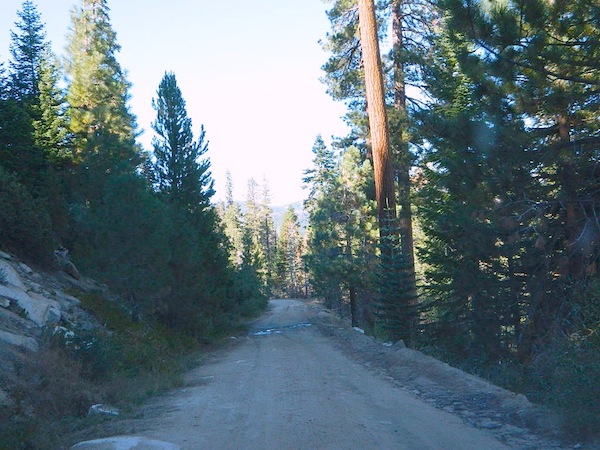
Back Loop Road
Back Loop Road, around the Big Meadow. Narrow & muddy

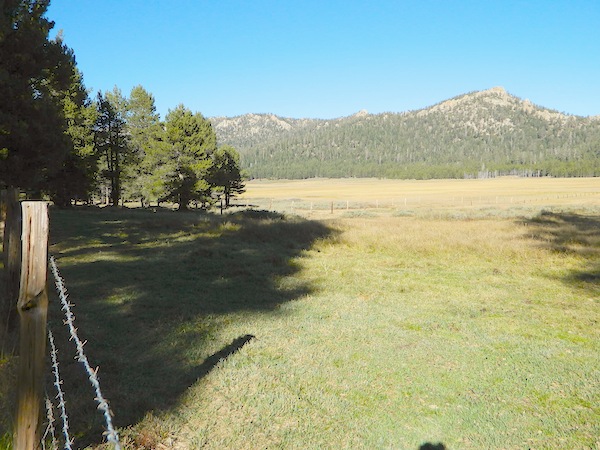
fencedmeadow

Or perhaps this is not the Big Meadow near Sequoia that you are seeking. National Parks The scenic, giant, public horse pasture listed above is not to be confused with #14S11 Big Meadows Road, also in National Forest land, located in between popular Sequoia National Park and Kings Canyon. (100 miles north of here)

Camp Fires Correctly

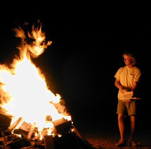
desert bonfires
Deserts & beaches are the only places for bonfires.

kill your television

Camp Fires
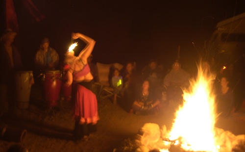
The heat source, the light source, the cook source, the sock drier, the night supplier, the outdoor LIVING ROOM. The campfire is the center stage for all entertainment, dining, drinking, music, true tales and ghost stories alike.

Since the beginning of time humans have gathered around the campfire at dark. This nightly ritual is built into us on the deepest level. We miss this today. We miss the real conversations, the community, the bonding, the stories, the soul searching. We miss the connection with nature, the fresh air and the great outdoors. The night sky filled with stars and maybe a meteor shower, a hot drink and the glow of the campfire coals. Enjoying the wilderness requires certain skills. FIRE is only ONE skill – for survival, for cooking, for warmth, for safety.

Total Escape is dedicated to those who yearn to camp, often.

In Certain Circles
photo – Charlie Sweeney 2010

Some folks cannot imagine camping without a campfire, but we better get used to it here on the West Coast. Weather patterns swing from years of super-dry drought to deluge and drenching – as we’ve seen of recent in California. Dry conditions means high wildfire dangers, tight camp stove and strict campfire restrictions.

Each California region, National Forests and State Parks have their own fire restrictions, so call ahead to rangers for current fire conditions on the place you wish to visit. Certain mountain locations will ban fires in the back country, fires on the back roads and sometimes in extreme conditions, no fires allowed even inside a developed campground.

Campfire Basics
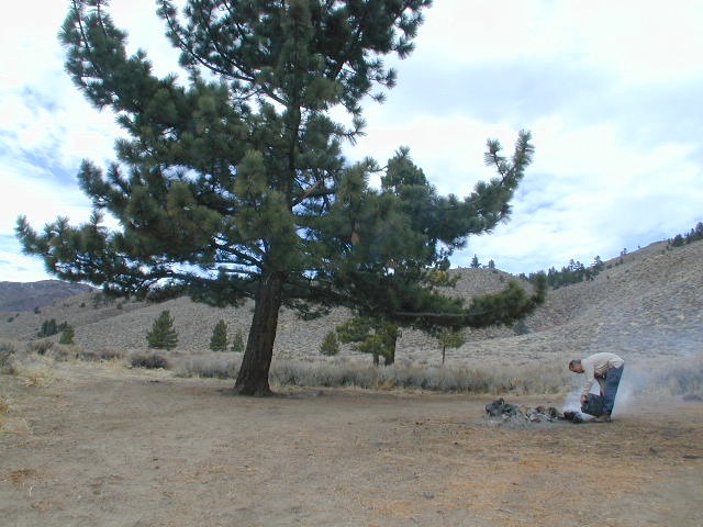
Sagebrush could be cleared back another few feet, at least.

Campfire Restrictions

fire

California is well known for its unforgiving drought conditions and its seasonal wildfire danger. Always know the fire conditions in the area you plan to camp. Most Southern California regions have banned ‘open campfires’ in forested areas, due to wildfire threat and population density. Call ahead to get an update on road closures and current campfire restrictions. Find California BLM offices & NFS ranger stations

rockfirering

Campfire Permits

If you plan on camping outside of a developed campground, you will need to get a free “camp fire permit”, which can be obtained at the local rangers office.

Find more on FREE camp fire permits

DSCN3700

California Camp Fires

  • RULE # 1 – Never leave a campfire unattended
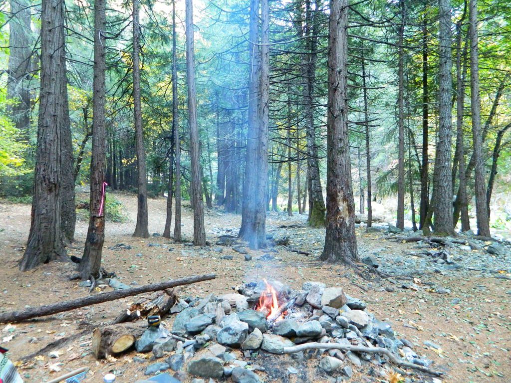
  • Build campfires in designated rings. Always try to use an existing ring when possible. If you must build a new rock fire ring, follow the guide on FireSafe
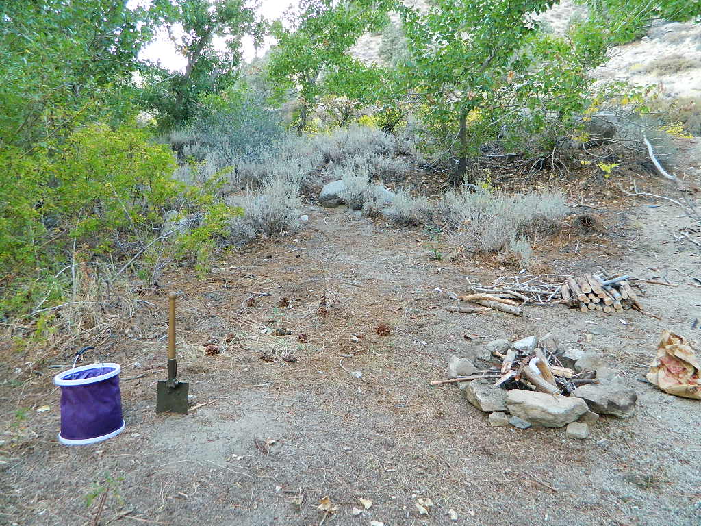
  • You will need water source & bucket, plus a decent shovel for building, maintaining and controlling a campfire. BRING enough water & tools with you to control a fire.
  • A ten foot clearance – all around, down to the bare dirt is the best practice. No brush close to the ring, no bushes, no leaves or pine needles. No dry over-hanging tree branches.
  • You might need to clean trash out of the fire pit, so bring heavy duty trash bags, or a spare old box. Shovel comes in handy here.
  • Kindling is key to getting a good fire going fast, so gather more of the small stuff. Wood gathering away from camp is usually better pickens.
  • Use environmentally friendly fire starters (with damp wood, if you must); not the BBQ lighter fluid or gasoline
  • Building fires up against a big boulder scars them w/ black soot, and although it can reflect heat back to you, it is seldom worth the unsightly damage
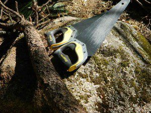
  • Bring chainsaws or hand saws for cutting your own campfire wood in the forest
  • Gathering wood for fuel — use only dead and down wood
  • A ranger issued “wood cutting permit” is required if you plan on cutting a full cord
  • Firewood page – buying locally, in California
  • Never burn plastics, batteries or other toxic materials in campfires
  • Tossing beer bottle caps into a campfire only litters site for future campers
  • While glass bottle smelting is a real treat among boys at night, which one is actually gonna get their hands dirty & clean up broken glass out of the campfire the following morning?
  • Do not leave any hot coals during the day (if you are away from camp). Winds could pick up.
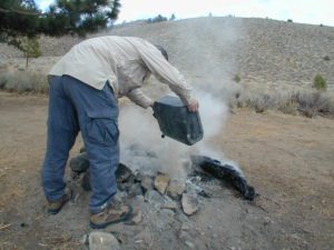
  • Always douse campfire with water completely when breaking camp. Stir it, feel for heat, and drown it more if you hear sizzling or see bubbling.
  • Read more wild fire / campfire info on our FireSafe page

Drown Fires

Last Final Step
The Final Step of Breaking Camp

Campfire Pits & Fire Containers

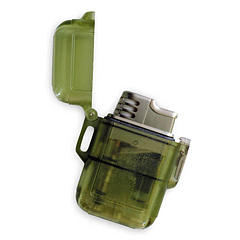
Stormproof LIghters
Stormproof Lighters

duskatblue

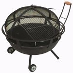
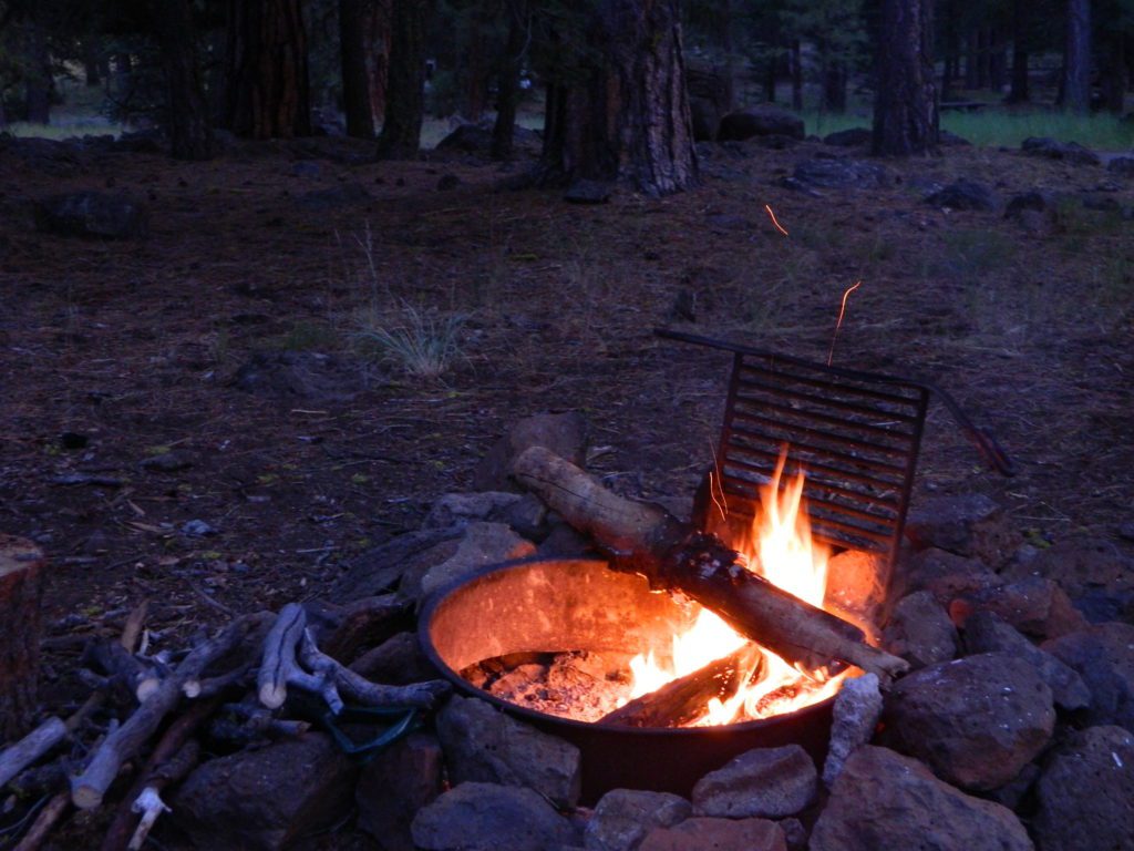
Developed Campgrounds offer sturdy, permanent, metal campfire pits. Many have adjustable grills built in.nlassenPrimitive Camping is allowed in National Forests throughout California. Campfire permits are required. This style of camping is more peaceful and secluded, without neighbors, without fees and without amenities (no table, no fire ring, no toilet)

leftovers

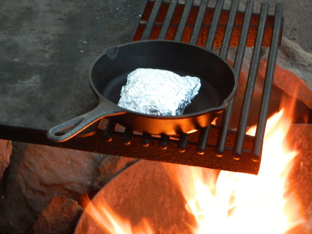
Cast Iron and a Campfire (no fuel cost, no stove needed)

Cherry Creek

tecuya4x4camps
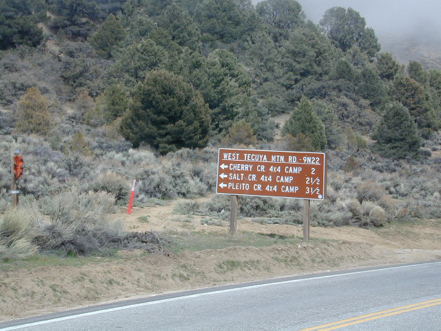
Tecuya Mountain 4x4camps, Los Padres National Forest

4×4 Camps @ Tecuya:
Cherry Creek Camp

Seeking a dark shady hole to spend the night? Then Cherry Creek canyon is choice for a quick overnighter near Frazier Park and the I-5 Tejon Pass. Steep dirt road access will challenge even the biggest skeptic.

  • free campsite
  • 4WD only access

The 4×4 Camp (signed) turn off is along Cuddy Valley Road, on the north side of the pavement – just a few miles west of Frazier Park, inside Los Padres National Forest.

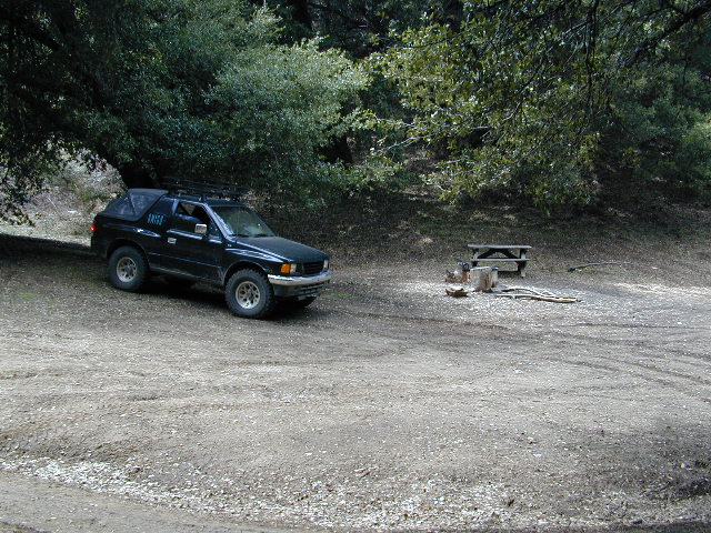
Oak trees and brush clog the dense hillsides. Owls live in this canyon. Deer and wildlife sightings are common – which makes this an ideal hunters camp for those looking to explore on foot.

The canyon gets narrower as it heads down hill (northward) w/ the single track route becoming a blanket of slick dark mud (in the wet months). Without trees on the worst section, making a self-rescue impossible.4x4

Real 4 wheel drive is needed for this camp! All wheel drive vehciles (SUV & sportwagons) should not attempt this location without a tow strap or winch – AND another 4WD vehicle to help out. Yep, seriously. We know, because we had to rescue someone last time we were here.

Camp Hole
Sparse accommodations w/ minimal sunlight reaching this steep canyon
gilbert trooper
High clearance and articulation is a must.

Other 4×4 camps on this ridge include –

  • Pleito Creek

  • Salt Creek

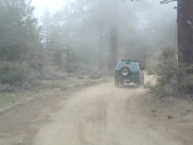
fog is common in winter
Fog is common on this mountain range

Nearby areas include –

towns nearby –

finished
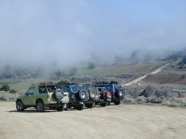
Afterwards, sun burns off fog, right at Cuddy Valley Rd

Plumas Camping

Lil' Northfork Campsite
Primitive (dispersed) camping near Lil’ Northfork

Plumas National Forest Camping – Primitive Camp Sites

Spanish Creek, Quincy, CA

Plumas Forest Camping

NFSlogoNorth Sierra Nevada, Northern California

Listed below are primitive campgrounds w/ minimal facilities or open camping areas in Plumas National Forest. Plumas has excellent fishing as the big rivers & numerous creeks run thru this northern Sierra Nevada landscape. Open camping is allowed on almost any dirt road w/ a current campfire permit

see also – Plumas Campgrounds

driftwood

Brady’s Camp
[on Pine Creek near Argentine Rock]
near Quincy, CA – east on Squirrel Creek Rd. & go 8 mi. to the campground. Elevation 7200′ / Open May – October

pct

Bucks Lake has numerous NFS Campgrounds and PCT access; Overall elevation 5000′ w/ abundant boating, fishing and hiking. Snow in winter closes roads. Cabins, marina, lodge, restaurants. Bucks Lake Wilderness, Gold Lake, Silver Lake

Deanes Valley Campground camp
[along Rock Creek] Hwy.70 Quincy, go 3.5 mi. west on Buck Lake Rd. Head south & 7 mi. to the campground. Elevation 4400′ / Open April – October


35 mph

Ishi Wilderness hiker

Backpacking trails w/ dirt road access. Above Chico, beyond Cohassett; on the border of Tehema Co. and Butte Co. (Lassen NF & Plumas NF)

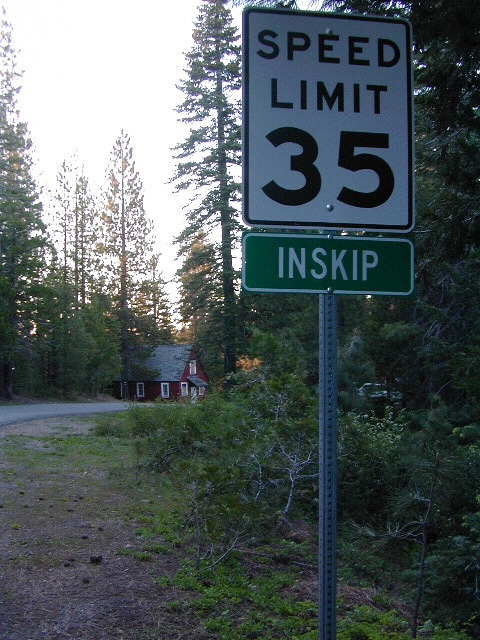
Inskip, CA – Way up beyond the Ridge, well past Magalia and Stirling City – find dense forests, dirt roads and camping. Philbrook Reservoir w/ West Branch Campground NFS. Elevation 5546′

24N10 – Plumas NF

Lakes Basin Recreation Area
lakesbasinhikers
lakes basin day hikers
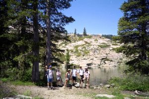
Snag Lake California

4x4 dirtbikes fish

Ohio Valley – Seneca Road
[off Hwy 89 to southside] Primitive forest camping near Lake Almanor. ATV trails, hunting. Creeks and river camping closer to Seneca. High clearance or 4WD may be needed on these dirt back roads – depending on snow and mud. There is plenty dirt roads back here to explore.

Snake Lakecanoe
[good fishing area] Hwy.70 Quincy, go 5 mi. west on Buck Lake Rd. Head north & 5 mi. to the campground at the lake. Elevation 4200′ / Open April – October

Snake Lake, California

Taylorsville Campground

Indian Valley - Plumas California

pinetree


digger pines
Bald Rock Road in Berry Creek, CA

see also – Feather River California

foreman creek
Foreman Creek @ Lake Oroville, (maxed out) FEB 2017

nearby towns –
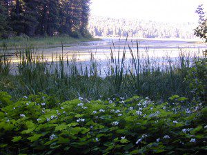
Belden Town
Berry Creek, CA
Bucks Lakes, CA
Butte Meadows
Chico, CA
Greenville, CA
Oroville, CA
Paradise, CA
Portola, CA
Quincy, CA
Twain, CA


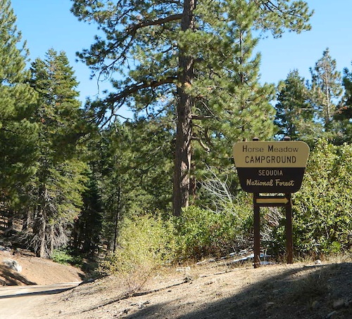
Horse Meadow Campground

Kern Meadows Camping

Horse Meadow Campground

Salmon Creek, Kern Plateau –
Sequoia National Forest

horse camping National Forest Camps Mountain Biking Kern Hikes fish Trailer access camping
Looking to stay away from the masses camping at the Kern River?

Horse Meadow Campground can be found on the east side of the Kern River, up on the Kern Plateau. Up the infamous, steep and rugged Shermans Pass Road. How exciting!

Steep Grades

Climb the hill slowly and cautiously, no guardrails. Up the grade, Shermans eastbound – out of the dryness of the Kern canyon. Find Cherry Hill Road, that is also the Big Meadow turn off: Forest Road# 22S12, a long, narrow dirt road leads from paved Shermans Pass Road, 10 miles out to this ideal campground. Far enough off the main road, so you won’t see much of a crowd out here.

22s05 sherman pass

Hunters, horse campers and hikers really like this spot. Mountain bikers are known to frequent the region as well. Forest, meadows, trails, creeks, nature, all around. Dome Land Wilderness is close by; Waterfalls hikes, swimming holes, viewpoints. Fishing, hunting, horseback trails. Dirt roads and single track trails all over – all within the vicinity of Big Meadow.

Kern Meadows Camping

From the main Rd #22S12, the camp access road #23S08 will lead out to the NFS Campground – HORSE MEADOW. Located at higher elevation forests – 3000′ feet higher than the Kern River!

Nice forested, high country camp spots in a developed campground. The long, access road is worth it for all the scenery and seclusion. Vault toilets, piped water, maybe a small fee. Open summer into autumn, closes for winter months.

Horse Meadow Campground

• Elevation: 7600′
• Number of Sites: 41
• Vehicle Access: RV 23′ max
• Campsites Reservation: No
• Camp Fee: Yes
• Length of Stay: 14 Days
• Season: June – November
• Trailheads: Salmon Creek

33e36trailhead
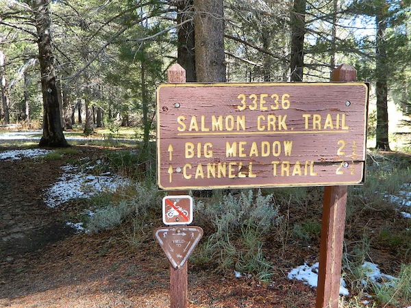
Developed Campground @ Salmon Creek Trail #33E36. Hiking trailheads lead off to various destinations like, Salmon Creek Falls, Big Meadow, Cannel Meadows and Dome Lands.

Sequoia Kern Map

Sunny Campsite

SUMMERTIME: If you are coming in from Kennedy Meadows on the EAST (or the Mojave desert US 395) – first verify that the Sherman Pass is OPEN for through traffic. Ask road conditions with local rangers ahead of time. ANY amount of snow will close this whole paved route for the winter season, up until June sometimes.

Over 30 miles (one way) to the nearest general store for supplies. Pack ‘block ice’ in the cooler, instead of cubes.

nearby towns:
Fairview
Kennedy Meadows
Kernville
Lake Isabella
Mojave

Big Meadow is closeby. Check it out!

Big Meadow Kern

22S12 – Sequoia NF

open camping

Big Meadow: Forest Road# 22S12 – Sequoia National Forest

Take Sierra Hwy. N of Kernville, past Fairview & over the Johnsondale bridge; Right turn on Sherman’s Pass Road & drive up to a signed intersection (near a snow gate). NOTE: This area may not be accessible during winter months.

Turn right on Big Meadow Road, aka Forest Service Rd# 22S12. This is a very long road which is paved for the first few miles. 22S12 becomes a graded dirt road, suitable for horse trailers; it forks off to other smaller dirt roads, as it progresses through the forests & dead ends back by Cannell Meadow. The main routes are passenger car accessible, but some of the smaller dirt roads can get quite bumpy. A truck or SUV would be advisable to explore these secondary routes. Certain areas have suffered from wildfires 2000-2002.

Big Meadow Sequoia

Horses & equestrian camping are very popular in this region. There is also a fair amount of backpackers heading into the Domeland Wilderness and mountain bikers looking for premium backcountry rides, away from the crowds at the Kern River.

NFS developed Horse Meadow Campground can be found on the right via road# 23S08. Located at 7400′ elevation w/ 41 spots, in the forest. Trailhead to Salmon Creek leads directly from camp.

SPUR – side routes include:

  • #23S14 Cherry Hill – a few camp spots near creek & a meadow with views at the very end
  • #23S41 Poison Meadow
  • #23S13 Salmon Creek
  • #22S07 Big Meadow – loop road around the “Big Meadow”. Plenty of primitive camp sites around Big Meadow, but they are the first ones to fill up during a popular summer weekend. The region is perfect for backpackers or day hikers wanting to access Manter Mdw. & the Domelands Wilderness.
  • #24S13 feeds the last stretch of road to Rattlesnake Meadow. Taylor Creek near 24S43, features numerous waterfalls leading to the South Fork of the Kern River
  • #24S12 Cannell Meadow & Pine Flat. The Cannell Meadow National Recreation Trail runs thru here, from Big Meadow down to Kernville, CA.

North Meadow

Sequoia National Forest

Sequoia National Forest MAP

DOME LAND Wilderness MAP

Nearby towns include:

Tejon California

Tejon Pass / The Grapevine / Tejon Ranch

tejon poppies

Interstate 5 California (Kern & LA County)

Tejon is the largest and oldest privately owned ranch land in California. It spans from the northern slopes of the great central valley to the tops of the oak sided mountains. The Tejon Pass 4144′ elevation, is Interstate 5. The golden state freeway zooms by connecting north Los Angeles to the Central Valley…. at 80mph. Watch for CHP near here. It’s easy to go down hill at 90 and not even realize it.

The old portion of this mountain pass is known as the Historic Ridge Route, and many overgrown miles can still be traveled on the back road. Off road and motorbike trails join up with old sections of crumbling highway between Lake Castiac and Pyramid.  The artist Christo erected 1760 yellow umbrellas along these hillsides between Gorman and Tejon, back in 1991. Awesome wildflowers bloom throughout Tejon, Lebec to Gorman each spring from late March thru May.

Angeles National Forest is on the east side of the freeway w/ Castiac Lake and Los PadresNational Forest is on the west side, with Pyramid Lake. Back roads camping and total seclusion is prime pickins in this region, if you have a decent map and are willing to drive a little

Family campgrounds, RV astronomy sites, 4×4 camps on dirt roads, off road parks, walk in campground to alpine meadows, ridge line forest camps, backpacking, horsepacking, mountain biking, hiking. Numerous campgrounds can easily be found by driving 30 minutes from the “Frazier Park Mountain Road” exit off the freeway. Most folks aim for Mount Pinos, but the whole Los Padres forest is devine.

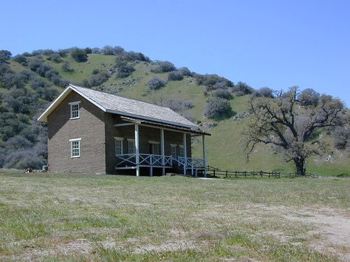
The fort location was established by the U.S. Army in 1854 and was designed to protect Native Americans. Restored adobes and museum feature exhibits on military life and local history. They also hold living history events performed by volunteers in costume. The park has a number of 400 year-old valley oak trees. Mister Peter Lebeck was killed by a grizzly here and there is even a tree to prove it.

Tejon photos

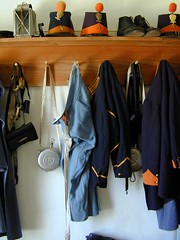
Fort Tejon Uniforms

Originally uploaded by danamight

Tejon Industrial Complex: This is the first large scale development in a master planned laid out by the privately owned Tejon Ranch Corporation. Another trucker stop on the opposite side of the freeway is already underway. In-N-Out Burger, Starbucks, McDonalds, IKEA distribution center, gasoline @ the bottom of the Grapevine. 30 miles south of Bakersfield & just down the hill from Lebec.

towns nearby –


Angeles National Forest Map
Angeles Forest Map
Los Padres National Forest Map: South
Los Padres Forest Map: South

Gorman Gold

Headed to Kern River ?

KERN COUNTY RD 184 = LAVAL ROAD: Wheeler Ridge. This is your freeway exit northbound if you wanna bypass Bako city traffic, on the way to Lake Isabella & Kernville.

Gas up in Lamont, it’s cheaper on the north end of town. Great little taco shops abound. Best bypass thru the farm belt to the Sierra Nevada.

9N09 – Los Padres NF

Quatal Canyon

Quattale

Quatal Cyn: Forest Road #9N09 – Los Padres National Forest

Toad Spring Campground is located at high elevations (5700′) of Quatal Canyon, on a dirt road, half mile off the pavement of Cerro Noroeste Rd. The Chumash Wilderness, the Cuyama River Valley, Apache Saddle, Mount Abel plus the Bittercreek National Wildlife Refuge all surround this region. Los Padres National Forest meets the vineyards, orchards & farmlands, near Ventucopa. This is the badlands – 18 mile scenic dirt road, well signed at Hwy 33 & mostly graded. Quatal Cyn connects Ojai’s Highway 33 to the pinyon pine forest above near Pine Mountain Club (@ nearly a straight line?) Motorcycle dirt bikes & off-roaders dig this place. Street bikes will prefer paved Cerro Noroeste which runs the rim above to the north.

This major dirt road is not gated at either end, but winter sometimes closes the route due to snow depth. It never stays closed very long, as some beefy 4×4 will break thru the snow berm soon enough. Top elevation @ Cerro Noreste is approximately 5500′.

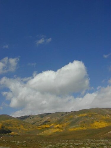
Quatal Canyon (possible Chumash word for Snake) is a giant high desert wash, ripping down from Cerro Noroeste (aka Mt Abel). Serious erosion w/ San Andreas fault lines – make it a very interesting canyon to explore on foot, horseback, motorbike, or mountain bike. The lupine & wildflowers here are incredible in late Spring in this red dirt canyon. Both nearby mountain peaks of Mount Abel & Mount Pinos are the tallest in Kern County.

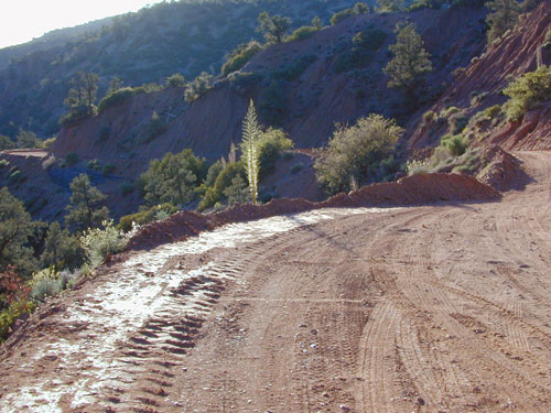
This rugged primitive canyon gets torn up during a good storm in late summer or a big winter storm. Red dirt gets very slippery – especially on the edges of a cliff. Boulders in the road, flash floods – or no road, river of mud! 2WD passenger cars can take this route in dry months, but high clearance is usually preferred. 4×4 is needed during heavy rain or snow – which could be half the year (Nov-April). Flash flooding is possible all over Los Padres NF, so know the weather forecast in advance.

Seen small RVs, trucks pulling trailers & even a U-haul moving truck down this way. MapQuest always amazes me where they route you. This is a graded dirt road, some of the time. MapQuest should post a ‘see Total Escape for this route’. Come on folks, if you’re traveling cross-country, while moving your residence, buy a real map to explore the National Forests of California. You may end up sleeping way out here – broken down in the moving van, in the boonies & no cell coverage, cuz you had a one page, wrinkled map in faded ink, wet & smeared. And MapQuest told you it was paved. It’s not paved 90% of the way.

Primitive camping is also allowed in the canyon wash or on the side routes, in certain seasons. Use an existing camp site when possible. Clean out the rock fire ring of litter & bottles, pull back all dry brush at camps & leave these places better than you found ’em. There are hundreds of dispersed campsites out here. The open wash is especially nice on a full moon hike, just bring friends – cuz it is considered “big cat country”. Camp fire restrictions are in tight control on this SoCal region. You will need a camp fire permit, a big shovel & lotsa water. Check with the Los Padres rangers to make sure. Recently Zaca Fire (2007) & the month long Day Fire (2006) both came very close to this precious sanctuary.

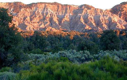
The high desert terrain is pinyon forest, with yucca & manzanita. The eroded cliffs of red rock, white & orange hues, glow best during the clearest sunsets. You will almost think your in Utah, until you get up on a ridge & see the smog in the Central Valley of California.

Mahu Tasen, a Native American camp and sweat lodge, has ceremonial grounds in a canyon off of Quatal. There is also a large rock quarry mining operation, as well as numerous wineries and ranches along this route. Several private residences too.

Ballinger Canyon OHV Park is close by, 5 miles N on Hwy 33

Carrizo Plain National Monument is also pretty close, N off Hwy 166

towns nearby –

PINE MOUNTAIN CA

MARICOPA CA

VENTUCOPA CA

helpful maps of the region –

Quatal Chumash Lands