Tag Archives: inyo

Rock Creek California

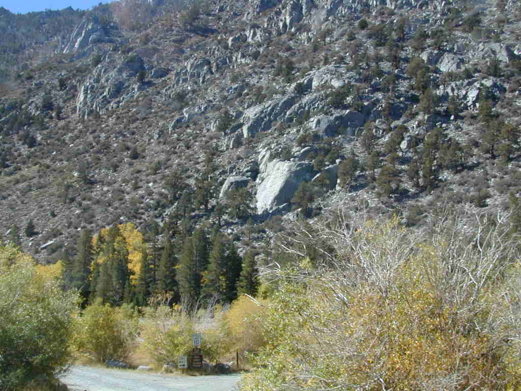
rockycreek

Rock Creek, CA
California Rock Creeks

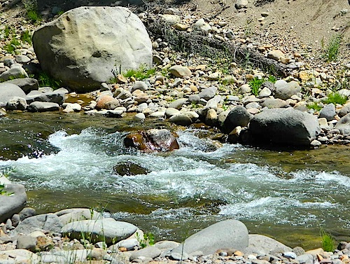
Due the nature of gravity, erosion and heavy rocks, creek beds tend to be rocky ravines near mountains – which collect rocks as they slide downhill. Creeks work as water drainage off the mountains. Inside California we have plenty of mountain ranges and plenty of movement, as the Pacific plate plows into North America, tectonically speaking.

How many Rock Creeks are inside the golden state of California? Heck, I dunno. Let’s try to find them all.

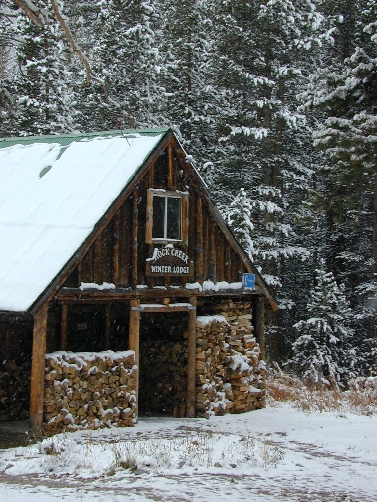
winterlodge

Probably the best known, is the one near Mammoth Lakes, CA

Eastern Sierra

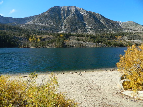
Small Beach at Rock Creek Lake

Rock Creek @ Mammoth

Rock Creek Road, Eastern Sierra
Inyo National Forest
Road #4S12
ROCK CREEK LAKE
NFS CAMPGROUND (9600′ elev w/ 66 sites)
GROUP CAMPGROUND (reservations required)
RESORTS
CABIN RENTALS
Road #6S05
WILDERNESS TRAILHEADS – Mosquito Flat, Little Lakes Valley Trailhead, Mono Pass, Morgan Pass, John Muir Trail (JMT), Pacific Crest Trail (PCT)

US395

US 395 @ Rock Creek exit is Toms Place, CA
rockcreeklakeresort

fallflames
Eastern Sierra Rock Creek Rd
ruggedwalls
Rock Creek Canyon, Eastern Sierra

driftwood

Northern Sierra

camp

Plumas National Forest – west of QUINCY, CA
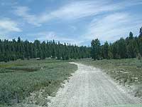
Dirt road campground

NFS Rock Creek Campground @ Plumas, located on a dirt road #24N28, off of paved Bucks Lake Road

NFSlogo

DIRT ROADS
MEADOW
CREEK

nearby WILDFIRE BURN SCAR

hiker

Feather River Canyon

Rock Creek, Highway 70
North fork Feather River

Large feeder creek from the north side of highway (California SR 70), in Plumas National Forest. Located in the popular railroad canyon known as the Feather River Canyon. Right here Rock Creek even has a reservoir.

Sugar Loaf Mountain elev 3553′ with Tobin Ridge line each side of Rock Creek as it descends the mountain tops. The junction where the creek meets the big river is just south of Bucks Creek Power Station @ STORRIE, CA. The overall location is half way in between OROVILLE, CA and QUINCY, CA

driftwood

Western Sierra

Off Road Gold Country, Sierra foothills

Rock Creek, Western Sierra4x4
Eldorado National Forest
HIKING & HORSEBACK
OHV TRAILS
4×4 CAMPS
Georgetown, CA
RUBICON TRAIL @ LOON LAKE

RockCreekOHV


driftwood

Southern Sierra

How can we forget creek camping & trail access south of Shaver?
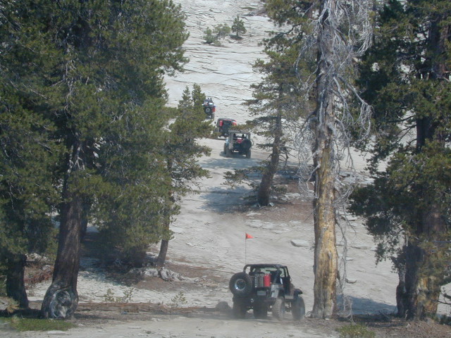
bald mtn
Jeepers on granite @ Bald Mountain, above Shaver Lake, CA

Shaver Lake, Sierra National Forest

Rock Creek Road, Southern Sierra
Dinkey Creek Area
Sierra National Forest
PRIMITIVE, DISPERSED CAMPING
4×4 TRAILS
BALD MOUNTAIN elev 7832′
DINKEY DOME elev 7697′
DUSY IRSHIM TRAIL
Shaver Lake, CA

driftwood

But wait, we have more California Campgrounds named Rock Creek

camp

Mammoth Reservoir
Mammoth Pool Reservoir

Rock Creek Campground – Mammoth Pool Reservoir, south of Yosemite National Park, behind Bass Lake, CA Sierra National Forest (18 camp sites)

Rock Creek Campground – US Hwy 101 NorCal Redwood forests, north of Leggett, CA. Camp located on the Eel River, in the Standish Hickey State Recreation Area. (36 camp sites)

Also the is a small ROCK LAKE located inside Lakes Basin Recreation Area, northern Gold Country @ Yuba River headwaters. Hike-in access only.

Rock Front OHV

Similarly named ROCK FRONT RANCH is 4×4 trails & 4WD camping area. Cool wind caves, super steep driving terrain (Granny low anyone?) and of course, wildflowers.

Los Padres National Forest 

Off Highway 166, east of the city of Santa Maria & US 101 – on the Central Coast of California. Way back there, at the edge of the forest, behind the wineries!
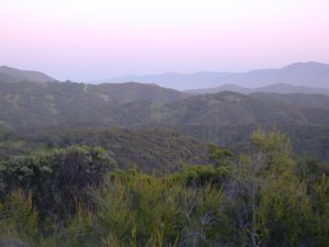
Rock Front Los Padres
Rock Front Ranch in Los Padres NF

dirtbikes


Mammoth Hot Springs

secluded tub

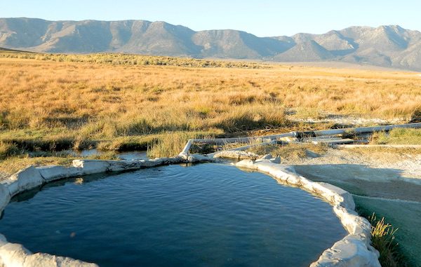
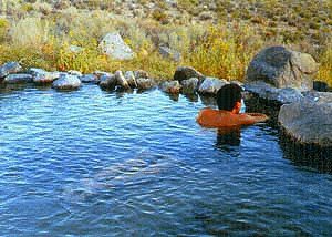
Hot Springs near Mammoth

Eastern Sierra Destination:
June Lake and Mammoth Lakes, CA

The Eastern Sierra Nevada mountains run the length of US Highway 395, through most of the eastern side of California. Mammoth mountain is a volcano, so naturally hot springs come with the package. These hot tub destinations listed here are mostly part of the Long Valley Caldera, an ancient volcanic table land. North of Bishop and near the snow ski destination towns of June Lake and Mammoth, California in Mono County, California.

Hot Springs Dirt Road

(This region is not to be confused with Mammoth Hot Springs in Yellowstone National Park, nor the Mammoth Site in Hot Springs, South Dakota.)

Backroads Camping is allowed throughout Inyo National Forest, but there is private ranch lands mixed in w/ public lands. Respect property boundaries, and speed limits around gates and intersections.

Camp sites are not located next to the soaking tubs. A few may be within walking distance. Parking is often limited at these remote, public use hot pools. Total Escape TIP: Behind Lake Crowley: abundant, free camping – wide graded dirt roads (RV and passenger car suitable). Inyo National Forest Map is recommended.

Eastside of Highway 395

Casa Diablo Hot Springs near the Mammoth exit, is a location noted on most maps, but this seems to be the geothermal power plant for the region. If you are looking for hot springs tubs to soak in, you’ll need to get off the main drag for those beauties, way off the highway.

On to dirt roads

Hot Creek

Inyo Forest Road #3S45
Hot Creek Hatchery Road

(near Mammoth Airport)
Minimal dirt road driving. A very popular spot where hot springs are located within the big creek, so you can feel cold and hot water flowing by you. Scalding can occur near vents underwater, so use caution when wading. Large parking lot overlooks the soaking area and creek canyon. Swimsuits required.

Hot Creek Hot Springs: Hot Creek Geological Site

sierraminipano

Benton Crossing Road
leads east, around Lake Crowley, to the small town and camping resort and inn of Benton Hot Springs

Inyo Forest Road #2S84
Benton Crossing Road

This rural intersection at US Hwy 395 is known for the little green church on the corner. Turn east off the highway on to this road > BENTON CROSSING.

Pull over, get out and stretch. Look at your maps, get the GPS out and then start your exploring. First timers might be able to find a soaking tub within half an hour, if you don’t get lost. Or get stuck in a muddy spot, which is easy to do at night.

Hill Top Hot Springs
Latitude: 37.6642
Longitude: 118.7883
Elevation: 6873′
also known as – “Hilltop, Pulky’s Pool”

Willy’s Hot Spring
Latitude: 37.6591
Longitude: 118.8425
also known as – “Wild Willie’s, Crowley Springs”

trail to springs

Inyo Forest Road #2S07

Whitmore Tubs Road
a major graded dirt road that leads north off of the paved road, becomes Owens River Road and connects back to US 395 many miles to the north.

Several primitive hot tubs can be found on dirt roads in this region, which lead off the main paved road. At night these remote pools can be hard to find – with no signage, no street lights and pitch black darkness. Plus the mud bogs and grassy fields all around make the landscape difficult to navigate. If you plan a nighttime arrival, then plan to drive in slowly around the pools, have your GPS handy and look for steam in the air. Cut your headlights if you see other cars or people, and proceed slowly.

Be considerate of others and friendly. Do not litter. Do not crank up music. Wait for others to finish soaking and do not rush anybody. Give others space and privacy to get dressed.

Crab Cooker Hot Springs
Latitude: 37.6633
Longitude: -118.7995
Elevation: 6857′
also known as – “Fleur de Lys”

Shepard Hot Springs
Latitude: 37.6668
Longitude: -118.8025
Elevation: 6940′
also known as – “Shepard Springs”

Rock Tub Hot Springs
Latitude: 37.6474
Longitude: -118.8080
Elevation: 6990′
also known as – “The Rock Circle”

Little Hot Creek
Latitude: 37.6902
Longitude: -118.8424
Elevation: 7000′
Inyo Forest Road #3S138
high clearance vehicle required

showers

Whitmore Pool

Whitmore Hot Springs
904 Benton Crossing Road
Mono County Park w/ public swimming pool & day use fee
Phone: 760-935-4222
also known as – “Whitmore Tubs, Whitmore Springs”

Minarets at Mammoth
Minarets at Mammoth

The Backside

Inyo Forest Road #3S11
Minaret Summit Rd

This wilderness region is located the on the west side of Mammoth Mountain, accessible by the paved Minaret Summit Road, which closes due to deep snow and is generally only open during summer months.

Red’s Meadow Hot Springs

developed campground w/ wooden sheds for baths: showers & tubs.
near Devil’s Postpile National Monument
Latitude: 37.618
Longitude: 119.074
Elevation: 7000′
also known as – “Red’s Meadow Hot Showers”

Iva Bell Hot Springs
remote, wilderness; hike-in hot springs.
south of Mammoth & Rainbow Falls, via trail #2622
Latitude: 37.532
Longitude: 119.025
Elevation: 7400′
also known as – “Fish Creek Hot Springs”

califrepublic

see more primitive hot springs in California

see hot spring camps in California

see resort hot springs in California

Junction Campground Yosemite

Junction Campground, Yosemite East Side

Inyo National Forest @ Tioga Pass, Hwy 120
Yosemite High Elevation Camp

jctcampgr

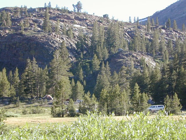
Tioga Pass camping on the eastern side of Yosemite National Park, just outside park boundaries is Inyo National Forest lands. Snow is generally deep and the road doesn’t open until late spring or early summer.

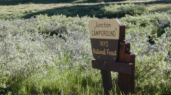
Inyo Junction Campground –  located at the intersection of Tioga Pass Hwy 120 and Saddlebag Lake Road.

Several prime campgrounds line the busy Tioga Pass, highway 120. Most NFS campgrounds are small and located along the busy highway just outside the National Park gate. This one is set back (slightly) from the main road and accessible by RVs. It is also located next to the historic Tioga Pass Resort, walking distance and on the same side of the highway.

junctionsign

High altitude small lakes, great views, thin air, snow melt, spectacular elevations and dark skies makes this an awesome stargazing spot. Summer is busy with travelers, tent campers and day hikers.  First come, First serve, when it is open (only half the year).

Junction Campground

• Elevation: 9,600′
• Number of Sites: 13
• Camping Reservations: No
• Sites Available: First come, First serve
• Vehicle Accessibility: Vehicle limit 28 ft.
• Length of Stay: 14 Days
• Water: No water spigots; lake nearby
• Toilet: Vault
• Season: Closed during winter & spring
• Fee: Yes
• Operated By: National Forest Service
• Closest Town: Lee Vining, CA

highway close

see also nearby – Ellery Lake Campground

hiker

Inyo National Forest
Mono Lake Ranger District

Bishop Ranger Station
760-873-2400

Mono Basin National Forest
Scenic Area Visitor Center

760-647-3044

NFSlogo

USDA campground link

Eastern Sierra Camping

tallpeaktower

Inyo Forest Campgrounds – Eastern Sierra Campgrounds

areas include: Lone Pine, Mount Whitney, Independence, Onion Valley, Ancient Bristlecone Pines, Big Pine, Bishop [Hwy 168], High Sierra, Owens River, Lake Crowley, Rock Creek, Mammoth Lakes [Hwy 203], June Lake Loop [Hwy 158], Lee Vining & East Yosemite National Park [Hwy 120]. Camping on Eastern Sierra Highway 395

Eastern Sierra recreation – backpacking, horse packing, day hiking, creek fishing, mountain biking, mountaineering, rock climbing

Listed below are Inyo National Forest campgrounds, County Parks, BLM public camps for outdoor recreation. Many campgrounds are closed for winter months. Blue links lead to more camp information. Boldface links to detailed information & photos on campground.

campground elev spots veg toilet water notes
Agnew Meadows 8400′ 21 pines chem piped Mammoth; Jun-Sept
Baker Creek Campground 4100′ 40 cottn vault no Big Pine, BLM; RV 30′
Big Bend Campground 7800′ 17 pines vault piped Lee Vining, April-Oct
Big Meadow 8600′ 11 pines flush piped Rock Creek; May-Oct
Big Pine Creek 9000′ 30 pines vault piped W of Big Pine; May-Oct
Big Trees Campground 7500′ 9 pines flush piped W of Bishop ; April-Sept
Bishop Park Group Camp 8400′ 20 pines flush piped No RVs;
Bishop Creek
Crowley Lake Camp 6800′ 47 sage vault piped BLM Camp; Apr-Oct
East Fork Campground 9000′ 133 aspens flush piped fishing camp Rock Creek
Ellery Lake Campground 9500′ 12 pines flush piped E Yosemite; June-Oct
Forks Campground 7800′ 8 pines flush piped W of Bishop,; April-Oct
Four Jefferey 8100′ 106 pines vault piped W of Bishop; April-Oct
Glacier View Campground 4000′ 40 cttnwd flush piped Big Pine, CA; open all yr
Goodale Creek 4000′ 43 cttnwd vault no BLM Camp; April-Nov
Grandview Campground 8600′ 26 pinyon vault no Ancient Bristlecone Pines
Grays Meadow 6000′ 52 pines flush piped W of Independence
Gull Lake Campground 7600′ 11 aspens flush piped June Loop; April-Nov
Hartley Springs 8400′ 20 pines vault no Glass Creek, June-Oct
Horseshoe Meadow 10,000′ 10 pines vault piped 1 day limit; horses; More
Horton Creek 4975′ 49 pines vault piped BLM Bishop; May-Oct
Independence Creek 4000′ 25 cottn vault no Independence, BLM; RV 30′
Intake Campground 7500′ 8 pines flush piped W of Bishop; April-Oct
Iris Meadow Campgr 8300′ 14 pines flush piped W of Bishop; May-Oct
June Lake Campground 7600′ 22 pines flush piped fishing/hiking
Junction Campground 9600′ 13 pines vault lake E Yosemite; June-Oct
Lake George Campground 9000 16 pines flush piped fish, June-Sept
Lone Pine Campground 5500′ 43 pinyon vault piped W of Hwy 395
McGee Creek 7600′ 26 aspen flush piped Tom’s Place, Hwy 395
New Shady Rest 7800′ 94 pines flush piped Mammoth, in town
North Lake Campground 9500′ 11 pines vault piped W of Bishop; June-Oct
Oh Ridge Campground 6000′ 148 pines flush piped June Lake
Old Shady Rest Camp 7800′ 51 pines flush piped Hwy 203, Mammoth
Onion Valley Campground 9000′ 15 aspen vault piped High Sierra access
Palisade Campground 8600′ 5 aspen flush piped Rock Creek; May-Oct
Pine City Campground 8900′ 10 pines flush piped Lake Mary, June-Sept
Pine Grove Campgr 9300′ 11 pines flush piped May-Oct
Pleasant Valley Res. 4500′ 75 sage vault piped BLM, US 395; open all yr
Pumice Flat 7700′ 17 flush piped June-Sept
Reversed Creek Campground 7600′ 17 aspen flush piped June Loop; May-Oct
Rock Creek Lake 7600′ 25 aspen flush piped Tom’s Place; May-Oct
Sabrina Campground 9000′ 18 pines vault piped W of Bishop; May-Oct
Saddlebag Lake 10,000′ 20 pines vault piped highest camp; June-Oct
Sherwin Creek Camp 7600′ 87 pines flush piped Mammoth Lakes
Taboose Creek 3900′ 55 shade vault stream Big Pine;
open all yr
Tinemaha Creek 4400′ 55 shade vault stream Independence, Inyo Co Park
Tioga Lake Campgr 9700′ 13 pines vault piped fish Yosemite, June-Oct
Tuff Campground 7000′ 34 pines flush piped Rock Creek; RV 22′
Tuttle Creek 5120′ 83 sage vault seasonal Lone Pine; open all yr
Upper Pine Grove 9400′ 8 pines piped May-Oct
Upper Sage Flat 7600′ 21 pines vault piped W Big Pine; April-Oct
Whitney Portal Camp 9000′ 44 pines flush piped Trailhead; May-Oct
Whitney Trailhead 9000′ 10 pines vault piped Trailhead; May-Oct

sunsetgrandview

see Group Campgrounds in Inyo National Forest, Eastern Sierra

8

Eastern Sierra Vacation, see also –

Topo maps, wilderness hiking maps, fishing maps
Equestrian trails, 4×4 routes, OHV maps –

Twin LakesEastern Sierra communities include:
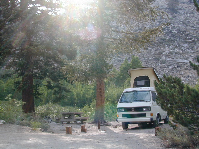
Dogs in Lake

Lundy Lake California

Lunar Lundy Lake

Eastern Sierra
Lundy Lake

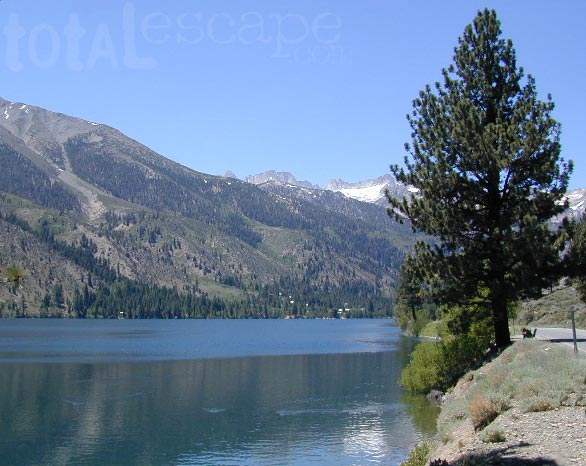
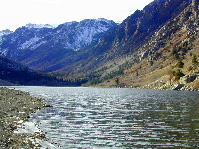
Lundy Canyon is located at the very northern boundaries of the Inyo National Forest, bordering the Humboldt Toiyabe National Forest & Virginia Lakes. Mill Creek flows down Lundy Canyon from the Sierra Nevada; Lundy is a small lake in a deep, rugged canyon with wilderness trailheads, East of Yosemite National Park.

Lundy Lake
West of Mono Lake, California
US 395
Lee Vining, CA

elevation: 7800′
Seasonal access, closed for winter

backpack, camp, canoe, fish, hike, kayak
aspen groves, autumn colors
wildflowers, waterfalls


Frozen Edge

camp

Lundy Campgrounds

  • Lundy Canyon Campground
    Mono County Dept of Public Works
    760-932-5440
    36 camp sites w/ picnic tables, fire-rings & bear boxes
  • Lundy Lake Resort
    Bait, tackle, general store, fishing lake, boat ramp.
    626-309-0415
    21 camp sites, 8 cabins, 3 camp huts, 5 RV camp sites

camping

National ForestsThere is not any NFS Campgrounds in this Lundy Canyon, but plenty can be found nearby at Lee Vining Canyon, at junction US 395 & Hwy 120.

Mono Lake also has camping at the county park. And free camping (boondocking) can be found – all up and down US 395

Lakes Canyon Trailhead

hikerLakes Canyon Trailhead

Backpackers & Horse Packer Trains have excellent access to the Hoover Wilderness in the High Sierras. Plus this prime Lundy Canyon location is situated at the back door of Yosemite NP.

Mono County Tourism
800-845-7922

Reflections

Lundy Area Maps:
Hoover Wilderness Trail Map (Tom Harrison)
Inyo National Forest Map (USDA)
Yosemite High Country Map (Tom Harrison)


View Larger Map

Links for Lundy Canyon:

Lundy Lake Road
Lundy Lake Rd, the paved road up climbs the steep canyon to an elevation of over 7500′

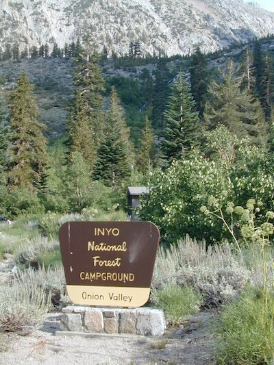
Onion Valley Campground

whiteVWcamper

Spectacular Small Campground located inside a granite bowl above 9000′ elevation, on the edge of the granite, near the John Muir Wilderness trails.camp

Inyo National Forest near Independence, CA
Eastern Sierra California

One of the best high elevation trailhead camp for backpackers in the Sierra.

High Sierra Lake Hikes

Onion Valley Campground

Onion Valley CA

  • Elevation: 9,200′
  • Number of Sites: 29
  • Vehicle Accessibility: no RVs
  • Camp Fee: Yes
  • Campsites Reservation: Yes
  • Toilet: Vault
  • Water: Piped
  • Length of Stay: 14 Days
  • Season: June – Sept
  • Trailhead Parking

Inyo National Forest hiker
Mount Whitney Ranger District
760-876-6200

Trailhead parking & camping for these High Sierra destinations –

onionsign

wild mountain onions?

High elevation NFS campground, located in a huge granite valley w/ waterfalls, wildflowers and aspen groves. The setting is breathtaking and the high altitude valley is nothing less than grand.

The views (east to the Owens valley) are from the paved road up, or from the hiking trails leading up outta camp. Gotta hike up (on foot) to see the views! Any visitor that does not hike, will be missing out on the best features of this destination. Plan to spend more than one day at Onion Valley.

ONLY OPEN for summer months! This small, developed campground closes annually.  Big winters and deep snow is the norm w/ elevation this high.

 walk-in camp sites

tent campas well as car camping sites.

  • picnic tables
  • fire rings
  • vault toilets
  • piped water
  • bear boxes

ONION VALLEY ROAD
access via Independence, CA

The paved road is long and very winding; sheer cliffs, steep drop offs, hairpin curves, minimal guard rails. RV motorhomes are not allowed on this route, due to the steepness of the terrain and the narrow roadway. conradkid2001

  • backpacking
  • camp
  • hiking
  • horse pack trips
  • lake fishing
  • mountaineering
  • rock climbing


horsepacks hiking Mountains

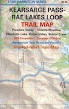
Rae Lakes Loop Map
Topo Hiking Map

HIKING LAKES in the Sierra

goldentroutlakecanyon
Golden Trout Lake Canyon

Gilbert Lake @ Kearsarge

see Onion Valley photos from –
Onion Valley Autumn 2008
Onion Valley Summer 2002

Group Campgrounds Eastern Sierra

agnewmdws

Group Campgrounds in the Inyo National Forest camping

These group camping facilities are available by advanced reservation only; open for summer and usually closed during winter months .

campground elev spots veg toilet water notes
Agnew Meadow Horse Camp 8400′ 4 pines chem piped Group & Equestrian
Mammoth
Aspen Group 8100′ 4 aspen flush piped Rock Creek
Big Pine Canyon Group 7600′ 1 pines vault piped W of Big Pine; May-Oct
Bishop Park Group 7500′ 21 oaks flush piped Group Camping; May-Oct
Fossil Group Camp 7220′ 11 pines vault no Hwy 168; E of Big Pine
Juniper Group Camp 7000′ 5 juniper vault piped Hwy 168; E of Big Pine
Obsidian Flat Group 6000′ 50 pines vault no Group Camp Mammoth
Pumice Flat Group 7700′ 17 pines flush piped June-Sept; Mammoth
Rock Creek Lake Group 7600′ 1 aspen flush piped Group Camping; May-Oct

RESERVATIONS REQUIRED

Call ranger station to reserve.
Inyo National Forest
351 Pacu Lane #200
Bishop, CA 93514
760-873-2400

see developed tent & RV Campgrounds – Inyo National Forest

rockcreekcliffs

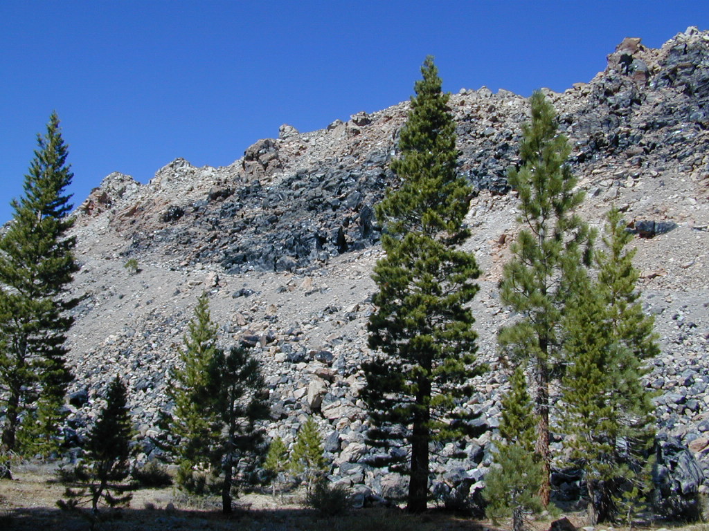
Obsidian near Hwy 395 & Mammoth
Eastern Sierra Obsidian Dome – near US Hwy 395 & Mammoth Lakes, CA

Eastern Sierra maps –

Topo maps, wilderness hiking maps, fishing maps
Equestrian trails, 4×4 routes, OHV maps –

lake mary

southforkbishop

Bishop Creek near Aspendell, CA

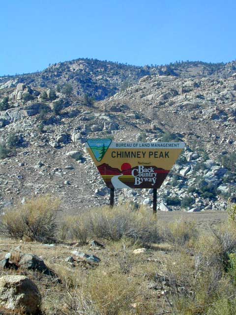
Chimney Peak Backcountry Byway

chimney peak Wilderness

East of Lake Isabella and west of Walker Pass, there is a small community called Canebrake along Highway 178 Canebrake Road, a graded dirt road climbs up into pinyon pine forests. Lamont Peak (aka Lamont Pinnacles) is a decent hike & rock climbers dig it too.

Lamont Peak

Chimney Creek Campground is along the main road and has RV access (28′ max), for the motorhomes who do not mind a little dirt road driving. Easy trail access to numerous area hikes. The PCT is routed close by.

Long Valley Campground is tucked way back in the boonies with trailhead leading into the granite Dome Lands; Fishing and river access to the South Fork of the Kern.

Long Valley Loop
Long Valley Loop Road (2001)

Long Valley Loop Road circles the Chimney Peak Wilderness, which skirts the Domeland Wilderness. THE LOOP is washed out and ROAD is NOW CLOSED in one portion. See BLM web site for up to date info.

[ see the photos from 2001 ]

nearby towns –

ALTA SIERRA
LAKE ISABELLA
KENNEDY MEADOWS
KERNVILLE
WOFFORD HEIGHTS

maps of the region –

SEQUOIA NATIONAL FOREST MAP
DOMELAND WILDERNESS MAP
HIKING MAP PCT #3 (PACIFIC CREST TRAIL)

Inyo Forest Roads

Baker Creek
Baker Creek, Inyo NF

Eastern Sierra Nevada – Inyo Mountains
Inyo Forest Back Roads – Mammoth Off Road

Off Road near US Highway 395. Yep, Olancha has some OHV (off-road) areas near the dunes, but this web site is dedicated to the real deal, the scenery, the trail heads, the hot springs, great secluded camping & of course, back road exploring.

You will need a Inyo National Forest map to discover these back roads. These are minimally traveled routes, un-maintained, sometimes washed out, eroded & maybe even creek crossings (without a bridge). Some gravel two-lane routes, some one lane roads leading deep into dead end canyons.

A few popular routes are paved, but most of these listed are indeed dirt roads. Some may require high clearance vehicle, or even 4×4. Know your vehicles limitations & be prepared to turn back when the road worsens. Cuz more often than not, it’s a sign of what more difficult terrain is to come.

coyote creek route

Watch out for live stock – they are dumber than they look.

Owenyo Rd – Wanna parallel the highway (395) on dirt; Sure, it’s a long bumpy route – from Hwy 136 @ Dolomite to Bend City @ Mazourka Cyn.

Road# 13S05 – Mazourka Canyon Rd – leads up to some old mining camps & way behind Mazourka Peak (9410′) deep into the Inyo mountains. It’s all desert on this side, but these canyons have pinyons & more vegetation than you would imagine. Road# 9S15 & 9S14 circle Andrews Mountain (9460′) then join back up w/ Death Valley Rd (the North Pass into Saline Valley).

Ancient Bristlecone Pine Forest has some great dirt roads surrounding it. After you are finished with all the touristy sights & you don’t wanna spend the rest of the day in the visitors center or back at camp, try Cottonwood Canyon – full of aspens, camp sites & fishing, not cottonwood trees. 4×4 is required. Crooked Creek has boulders, boulders & more boulders. Plus some amazing camp sites with open sky views. Silver Canyon is for high clearance only, 2WD okay. This will lead you down to Laws Railroad Museum on Hwy 6, on the back side of Bishop, CA

Benton Crossing Rd (green church @ 395)
This wide road leads out to multiple dirt roads that peel off in every direction. Many Eastern Sierra Hot Springs can be found out here – on the east side of the highway. No hot spring resorts, no facilities, no clothing & very primitive.

Bishop 4×4 route Coyote Flat
Coyote Wash leads up to Coyote Flat & out to Coyote Lake. This a a spectacular high altitude plateau overlooks the Owens Valley & requires 4 wheel drive just to get up there. Pinyons, junipers, aspens, wildflower meadows, old mines, & yes, lakes at 11,000′ elevation. Views of the High Sierra & South Lake.

Buttermilk Road – This dirt road is north turn off of Hwy 168, W of Bishop, CA. “The Buttermilks” are a popular spot among rock climbers. A great place for indian petroglyphs too!

Road# 9S21 – Glacier Lodge Road – Paved road. Creek exploring & fishing. Plenty Campgrounds. W of Big Pine CA

Horseshoe Meadows Rd – Paved route with great views over Owens dry lake bed; access via Lone Pine CA; A nice day trip to meadows & High Sierra scenery. Picnic & day hike!

McMurray Meadows Rd – south off of Glacier Lodge Rd (#9S21) just W of Big Pine CA. You can find ancient cinder cone volcanoes & cave-like lava tubes in between this long dirt road & the highway.

monacheMonache Meadows is a high elevation meadow that takes some time & determination to get to. This area is part of the Inyo National Forest, but can be accessed by either: backpacking thru the high Sierra’s or driving a high clearance vehicle thru Sequoia NF # 22S05 Sherman Pass Road, behind the Black Rock Ranger Station & Troy Meadows Campground. High clearance is needed, 4×4 maybe. Great camping sites near Olancha Peak trailhead. The area is surrounded by Golden Trout Wilderness & South Sierra Wilderness. From US Highway 395 to Kennedy Mdws & then Monache is a full day of exploring, so you may as well stay the night up there. But bring warm gear, a campfire permit & a capable vehicle.

Manzanar Routes – Back behind Manzanar Camp there are miles of dirt roads to explore. Many creeks side camp sites can be found even with a passenger car. Small trees & sage brush. Secluded camping (for free) is possible in the Eastern Sierra.

Mono Craters (Rd# 1N11) – the youngest mountain range on the continent. Just south of Mono Lake, this route skirts the pumice cones & climbs over the Aeolian Buttes, before it meets back up with Hwy 395.

Walker Creek Rd #19S01 – Oaks & creek. South of Olancha CA, look for turn off & follow dirt road up into the tight canyon.

Fish Slough Road (Rd #3V01) – open, high-desert area near volcanic tablelands. Find Indian Petroglyphs. N of Bishop, CA

keough hot tubInyo Road# 6S16 – Pine Creek Road – Creek exploring & fishing. NW of Bishop behind Rovana, also known as Round Valley, CA
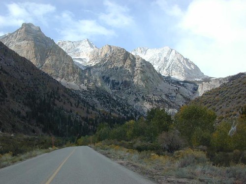
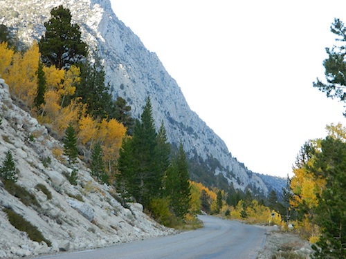
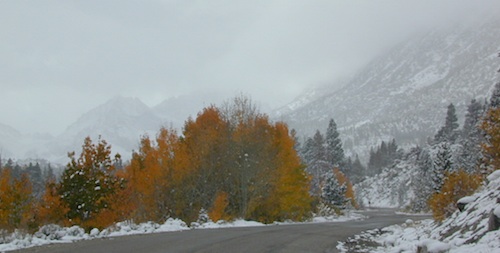
Road# 4S02 – Owens Gorge Road – N of Bishop behind Lake Crowley. Camping w/ boulders & pines. Good open sky views for stargazing.

Road# 4S86 (Inyo Rd #28E201) – Laurel Lakes Road – Camp in aspens @ Laurel lakes, high elevation; access to alpine lake trailheads; SE of Mammoth Lakes, CA

Road# 2S05 – Deadman Creek – Creek fishing in forest. N of Mammoth

Road# 2S07 – Owens River Road – Pine forest, near hot springs; no facilities. N of Mammoth

Road# 1S63 – June Lake Loop is CA SR 158 (Hwy 158) paved main route, which is often closed for winter months, due to deep snow.

Road# 1N17 North of June Lake Loop; dirt road access to Parker Lakes & Walker Lake trailheads; Side canyon routes offer (unmarked) picnic areas and fishing spots; few primitive camping options.

Road# 1S25A Parker Lakes Road– Aspen & pine forest, near creeks; E of Grant Lake / N of June Lake

Road# 1S23 Walker Lake Road – Pine forest route to Walker Lake; E of Grant Lake / N of June Lake

Impressive Canyons

4S12 – Inyo NF

rockcreekroad

Rock Creek Road

Rock Creek Lake, Eastern Sierra, California

Inyo Forest Road #4S12
also known as Inyo Road 12, and also Rock Creek Rd.

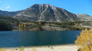
Majestic mountain scenery. Popular paved route that leads from US 395 up to Rock Creek Lake, on the edge of granite wild lands; lake is situated above 9000′ elevation and the hiker trailheads are further up, beyond the lake at over 10,000 feet. Steep canyon, large canyon, rocky granite canyon, high elevation.

Super scenic drive, but open less than half the year, due to deep snow. Eastern Sierra Nevada mountains. Inyo National Forest

North of Bishop, CA
South of Mammoth, CA
SW of US Highway 395

hikes horse camp bike

backpacking
camping
fishing
hiking
horseback
trailheads
wilderness

A popular and favorite place for summer camping, fishing and hiking. Backpacking, horse trails, high elevation lakes, mountain passes, peaks, wilderness areas. RV campgrounds, tent camping, car camping. Mountain biking in vast canyon, near campgrounds and creek. No bikes in the Wilderness (up and above Rock Creek)

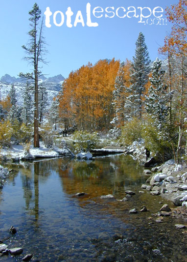
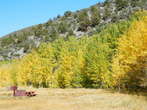
Autumn colors, aspen groves usually best in early October. Snow closure in winter months (Nov-May).

snowyautumn

elevation 7072′ @ Tom’s Place, CA (US Hwy 395)
elevation 9682′ @ Rock Creek Lake
elevation 10,272′ @ Trailhead Parking (end of road)

UP, UP, HIGHER & AROUND LAKE
One lane, paved route gets narrow, but keeps on climbing. Road #6S05 continues up – past Rock Creek Lake and ends at hiking trailheads, paved parking lot and a few picnic spots.

iris meadow
Iris Meadow Campground NFS

12 NFS Campgrounds in this region, starting with one at the highway, several along the way and the campgrounds at Rock Creek Lake.

No campfires are allowed in this canyon – outside of a developed campground. Not much in the way of primitive car camping options either, except for strapping on a backpack and heading into high elevation wilderness.

rockcreeklake

Rock Creek Lake

Rock Creek Campgrounds

Inyo National Forest
John Muir Wilderness

Trailheads along Rock Creek Road #4S12

  • Upper Hilton Lakes
  • Tamarack
  • Lakes Valley (Little Lakes)
  • JMT – John Muir Trail

Rock Creek NFS Hiking Trailheads (download PDF)

Eastern Sierra Maps:
Inyo National Forest Map USDA
John Muir Wilderness Maps
Mammoth Lakes Map by NatGeo
Mono Divide High Country Map


rock creek lake
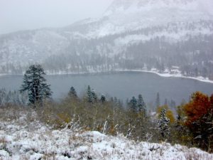
Rock Creek Lake, first snowfall (Autumn)


looking for another place called ROCK CREEK in California? (we are working on that)

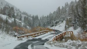
6S05 – Inyo NF

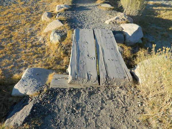
6S05bridge

Paved, one-lane extension of #4S12, Rock Creek Road.
Up above Rock Creek Lake, East Sierra Nevada, California

High elevation 10,272′ at roads end and parking lot

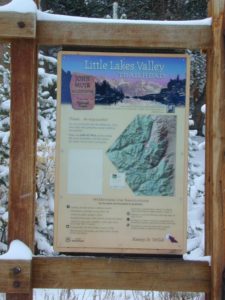
Little Lakes Valley Trailhead
Mono Pass
Morgan Pass
John Muir Trail (JMT)
Pacific Crest Trail (PCT)

Mosquito Flat Picnic Area

Restrooms, paved parking lot, nature trails, fishing creeks, horseback, wilderness trails.

hikes NFS camp horse camp

Mosquito Flat Walk-In Campground is intended for backpackers departing overnight into the backcountry the following day. Single night stay ONLY. Please camp down canyon if you plan to stay for more than one night. Bear lockers are provided at campgrounds for proper storage of food items, so use them!

No campfires are allowed outside of developed campgrounds. Day use does not require a permit. Wilderness permits are required for overnight trips into the John Muir Wilderness. Bear containers are required for backpackers. Permits for these trails are issued at Inyo National Forest ranger station in Mammoth, or the Eastern Sierra Visitors Center (ESIA) near Olancha.

littlelakesvalley

John Muir Wilderness (JMT) trails, Pacific Crest Trail (PCT), epic scenery, alpine lakes, high elevation. Eastern Sierra

Rock Creek NFS Hiking Trailheads (download PDF)

Rock Creek Pack Station provides wilderness pack trips on horseback, and day rides too.

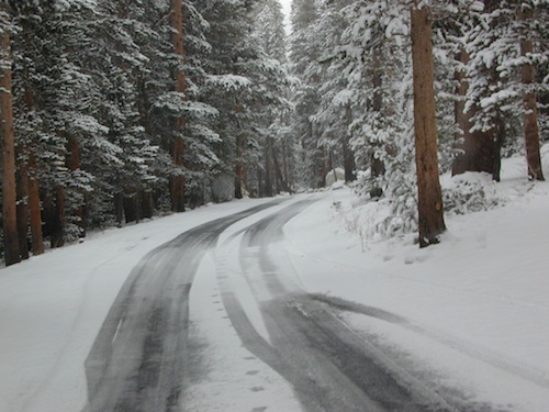
Road and canyon is CLOSED for winter snow approx. NOV-MAY

snowlane

Peaks and passes surrounding Rock Creek Canyon, in the Eastern Sierra Nevada Mountains –

Red Mountain 11,472′ (elevation)
Mount Morgan 13,748′
Morgan Pass
Mt Huntington 12,405′
Mono Rock 11,554′
Mono Pass
Mt Starr 12,835′
Mt Mills 13,451′
Mt Abbott 13,704′
Round Valley Peak 11,943′

Hike or horseback ride to these alpine lakes from Rock Creek Rd trailheads –

Davis Lake
Hilton Creek Lakes
Patricia Lake
Golden Lake
Pioneer Basin Lakes
Trail Lakes
Summit Lake
Ruby Lake
Mills Lake
Gem Lakes
Treasure Lakes
Dade Lake
Upper Morgan Lake
Lower Morgan Lake
Chickenfoot Lake
Little Lakes
Box Lake
Heart Lake
Marsh Lake
Serene Lake
Eastern Brook Lakes
Tamarack Lake
Buck Lake
Francis Lake
Dorothy Lake
Kenneth Lake

1S25A – Inyo NF

parkercreek

Parker Lake Road
Inyo Forest Road #1S25A

This dirt road is a side canyon route; access to a whole mess of aspens @ Parker Creek. Fish the creek. Day hikes and backpackers trails; Picnic in the aspen groves.

Parker Lake Rd turn off is signed @ Road #1N17. All this is north of Highway 158 @ Grant Lake, on the June Lake Loop #1S63.

Primitive camping options only. No facilities, No developed campgrounds back here. Minimal camp sites and clearings, so have a backup plan B in case these few canyons are already occupied.

MUD NOTE: Dirt roads here can turn to mud, especially near creek beds – anytime in between October and May. Region is also prone to summer thunderstorms; Maybe even flash floods. Weather changes for June Lake and Lee Vining can be sudden so keep tabs on the current forecast.

Inyo National Forest
Ansel Adams Wilderness

nearby towns:

June Lake, CA
Lee Vining, CA
Mammoth Lakes, CA

campaccess

area maps:
Inyo National Forest USDA
Ansel Adams Wilderness Maps
Mammoth Lakes Map by NatGeo

19S01 – Inyo NF

south sierra ridges

Walker Creek Road #19S01
– Inyo National Forest

Southern Slopes, Eastern Sierra Nevada

Just south of Olancha, off US Hwy 395 is a dirt road that takes you 5 miles up to an oak canyon lined with rocks. There are several primitive camp sites along the Walker Creek. A high clearance vehicle may be needed in some sections, but 4×4 is not required. Small RVs might attempt this, but if the first mile frightens you, turn around while you’re ahead.

Dirt Road near 395

This private, shaded, creek area is perfect for those traveling Highway 395, looking for a quick and free camp spot near Olancha, CA

nice shady spots
Shady picnic or camp spots above 4000′ elevation.

some granite
Hiking trails at the end of the road lead deep into the mountains. One on the right takes you to waterfalls. The trail on the left will take you to meet up with the Sage Flat Trail, which leads up to Olancha Pass, Summit Meadows & a small lake, in the South Sierra Wilderness. The Pacific Crest Trail runs the ridges here, just west of Monache Meadows, which is at 8000′ elevation, way above here – up on top. 

First Camp

US 395 highway – the dirt road turn off is very close to a gas station, and it maybe be signed, or not. The gas stop may be in business, or perhaps not. This is rural California, wide open desert and things come and go quickly.

On a good topo map, located Olancha Creek and Summit Creek to the south. Walker Creek is the canyon in between those two, just so know where you are going and can visualize. This one is an easy-to-miss dirt road turn off – especially if you are going over 50 mph.

Long Valley Campground

Secluded Camp Sites

Long Valley Campground BLM

Southern Sierra Nevada
secluded camp, fishing & hiking trails
(free campground, open all year long)

South Fork of Kern River & DomeLand Wilderness

20+ miles from the nearest paved road; a remote camp on Long Valley Loop Road, off Canebrake Road. Both are dirt roads: high clearance vehicle recommended!

High Desert meets the Sierra Mountains

Back in the dry pinyon hills east of Kernville, beyond Sherman’s Pass; high above the Mojave desert and north of Canebrake & Highway 178. Long dirt roads, remote campground w/ fishing & hiking trails. Wilderness access.

hiking fishing trails horse trails back roads back roads sierra mountains

Chimney Peak Back Country Byway
Canebrake, California

These dirt back roads listed above skirt the edge of Dome Land Wilderness & Sequoia National Forest winding through BLM Land bordering the Mojave. The byway networks recreation areas between Kennedy Meadows and Canebrake, east of Lake Isabella. Eastern Kern County, California.

backpacking
camping
fishing
hiking
horseback trails
mountain biking
rock climbing
stargazing
wildflowers

Trailheads Domeland

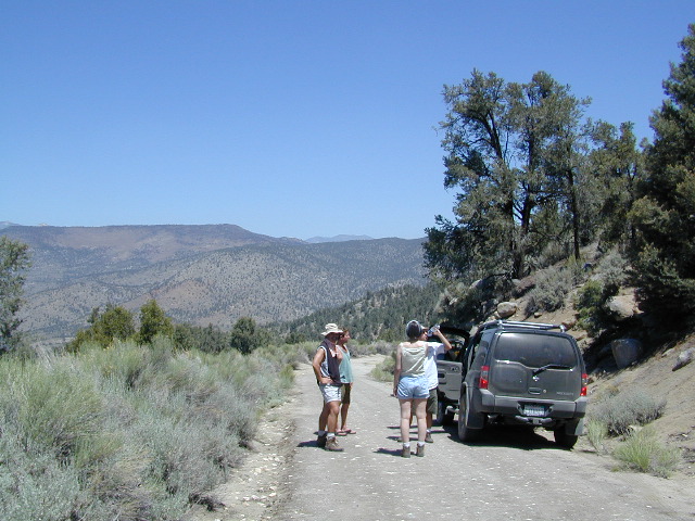
People come way out here for the seclusion – the peace & the quiet. Mid-week you can have the whole place to yourself. Abundant hiking trails & fishing access. Into the Dome Land Wilderness you will find incredible scenery and diverse terrain – giant granite domes, waterfall canyons, and the South Fork of the Kern River (3 mi hike to river). PCTThe infamous Pacific Crest Trail passes close to Long Valley Campground, but Chimney Creek Campground is much closer to the PCT.
BLM Camping

Long Valley Campground

• Elevation: 5200′
• Number of Sites: 13
• Vehicle Accessibility: High Clearance Vehicle
• Facilities: picnic tables, fire rings, vault toilet
• Campsites Reservation: No
• Camp Fee: None
• Length of Stay: 14 Days
• Season: Open all year
• Operated by: BLM
• Trailheads: S. Fork Kern River & Domeland Wilderness

Bureau of Land Management
BLM Bakersfield Field Office
661-391-6000
Find a BLM page w/ map & info

Recent Domeland Wild Fires:
Manter Fire (2000)
McNally Fire (2002)

Long Valley Loop
Long Valley Loop Road (2001)

2016 NOTE: The part of the LOOP of Long Valley Loop Road that connects this campground to Kennedy Meadows (to the north) is CLOSED due to a huge washout. The Long Valley campground is accessible from the south side, from Hwy 178 @ Canebrake – and requires many miles of dirt road driving. High clearance vehicles are recommended; 4×4 needed in wet weather or snow.

towns nearby:

CANEBRAKE
KENNEDY MEADOWS
KERNVILLE
LAKE ISABELLA
MOJAVE

High Desert Sagebrush
High Desert Sagebrush & Dirt Roads
Wildfire Burn
Manter Wildfire Burn Area (2001)

Saline Valley Hot Springs

Saline Valley Hot Springs
Saline Valley Warm Springs

NORTH Death Valley National Park, in a super remote desert valley located in the vast mountains in between Big Pine CA Route 168 & Death Valley (west) Highway 190.

Inyo National Forest: Inyo mountains are a towering range of high elevation desert peaks running in between Owens Valley and Saline Valley.

desert wilderness access: 4 dirt road routes lead into Saline Valley – 2 backcountry 4×4 trails from the upper reaches of the park and 2 main dirt roads. All routes require a high elevation pass, so snow is likely in winter months (Nov-May).

Wilderness routes road conditions can change often, seasonally with winter snows, mud and summer thunderstorms. The most popular access are the main routes (both long dirt roads, subject to snow and closure at any time) – the North Pass (Big Pine) and the South Pass (Panamint). Detailed directions on those further below. Both backcountry roads Steele Pass and Lippincott Road, originate from the northern, desolate areas of the National Park and both require 4 wheel drive, with a recommended locking differential.

No developed campground facilities. Clothing optional my ass — nudity is the norm here.

Since the challenging drive in to this remote desert valley is so grueling and time consuming, plan to spend a minimum of 4 nights. Anything less is way too rushed to totally enjoy the experience.  Best way to enjoy this place is a full week off of work, and as much firewood, food and ice as you can haul. Some folks spend weeks camping here. The NPS limits your camping stay to 30 days! If you plan on driving out to Lone Pine for camping supplies and returning the same day, you best leave at dawn – cuz the entire round trip ‘beer run’ will take 6 hours or more.

High clearance vehicle a must & 4 wheel drive is highly recommended in all this region. All wheel drive wagons and passenger cars have been known to bottom out, break down and pop tires out here in the harsh conditions, so a first challenge may be to obtain a dependable and capable off-road vehicle.

Topographic GPS & decent back road maps are highly advised. One way drive is easily 4 hours, from any paved highway. Pack like you’re gonna live out here, if need be. Warning: this is a very long off-road journey for any average camping trip. This isn’t a weekend kinda place. First timers beware – it’s a full day journey to travel here!

Air Strip? The fly in option is a dirt landing strip called ‘Chicken Strip’, but National Park Service has yet to closed it.

NORTH PASS to Saline Valley Road:

from Big Pine, take Hwy 168 N from Hwy 395, turn right onto Death Valley Road (some maps may have this one listed as Waucoba Springs Road or just Waucoba Road). Proceed on the main route to the hard to read entrance sign marking the Saline Valley Road, past a few old structures and down to the main valley. Winter snow can be deep, so carry chains. 4×4 is best to access this remote valley, AWD high clearance might make it and normal passenger cars, 2WD SUVs should be warned about weather and access to the real world. Many times all mountain passes are snowed in – people do get trapped at Saline and cannot get out for weeks. So take that into account when requesting days off of work for this epic journey.

SOUTH PASS to Saline Valley Road:

from Olancha, take Highway 190 E, turn N off Hwy. 190 to Saline Valley Rd. Rugged 50+ mi. of hard core dirt roads. 4×4 and high clearance a must. Winter months expect snow, springtime rock slides and summers torrential downpours cause overflowing creeks w/ impassable washouts. Grapevine Canyon can be a challenging drive, but with patience and skill you can be down on the main valley floor in about an hour and a half (if you’re lucky). Did I mention the dozen or more miles of heavy washboard road conditions, at the base of the alluvial fan of mountain rock? Newbies and first timers should attempt the North Pass.

———————-

Near the marsh, when you finally reach the sand dunes area, you know the turn off is close-by, so slow down and stop to read the landscape. Know that the hot springs are located above the sand dunes to the east slope of the red volcanic mountains. When you see the metal bat sign and the mass of palm trees in the lower grove, you know you’ve arrived.

You’ve only truly arrived, when your whole body is immersed in hot water looking up at the stars and you learn to relax again. Breathe the deepest you have all year.

CAUTION: Stopping for those vehicles distressed on the side of the road is also a common practice. Many people break down on this route, Jeeps slide off cliffs. Harsh landscapes, plus weather are unforgiving and people die, so realize that this camping trip is no walk in the park.

Saline Valley Road Conditions & discussions can be found on
Saline Valley Talk, the Saline Valley Message Board
forum.salinepreservation.org

Saline Preservation Association
salinepreservation.org

Trip Review from Student Reader
studentreader.com/saline-valley

natural hot springs

nearby desert destinations –


View Death Valley National Park in a larger map

Keough Hot Springs

Keough Hot Ditch
HWY 395. Bishop. First Keough visit w/ Ted, 1990

Keough Hot Springs

Keough Hot Tubs, Eastern Sierra

Keough Hot Ditch

7 miles North of Big Pine & 7 miles South of Bishop;
on the west side of Hwy. 395

Keough California is comprised of two soaking spots – a small resort and the primitive tubs below. An Eastern Sierra rustic Hot Springs Resort w/ campground, tent cabins rentals and nice landscaping. Big, clean hot pools at the top of the road. Entrance fees, trees and vegetation, next to the mountains. Seniors and families frequent this place. Swimsuits are required.

Keough’s Hot Springs Resort
800 Keough Hot Springs Road
Bishop, CA 93514
760-872-4670

Keough Hot Springs

The Ditch

Below the resort and above the highway, are some primitive, free hot pools that require dirt road driving. Public nudity is common. Open 24/7 w/ several brush lined pools on the eastern slopes of the Sierra Nevada Mountains overlooking the high desert of the Owens Valley. Quite impressive for being just off the highway. Buzzing, huge powerlines overhead are one of the only drawbacks of this soak spot. This place can get crowded at certain times.

Posted: No overnight camping allowed at these lower hot springs.

Soaking at Sunrise

US Highway 395:
Look for the turn off in between Bishop and Big Pine, California. Take the Keough Hot Springs Road up hill until the second dirt road, turn right and the primitive hot springs will be on the left, just beyond the cold stream crossing. Sometimes a high clearance might be needed. Cars should park and walk the if unsure of the terrain. Do not park right next to the soaking tub, as the ground is too weak and vehicles have been known to slide in, unexpectedly. No kidding!

Plenty great camping all around the Eastern Sierra region. For campsites with cooler temps, higher elevation, pine trees & creeks: Head for the Glacier Lodge Rd – Inyo Road #9S21, West outta Big Pine.

Adventurous 4x4s can try super remote Coyote Flat, a super high elevation pinyon plateau that overlooks Bishop. Also Highway 168 W outta Bishop will lead to primitive camping areas like The Buttermilks, a rock climbing area. Further up the hill is alpine lake and creek camping in aspen groves.

Many developed Campgrounds in the region.


View Keough Hot Springs in a larger map
also nearby:

Inyo Forest Maps