Tag Archives: kings river

Kings River Camping

Camping areas along Kings River, Sierra Nevada California
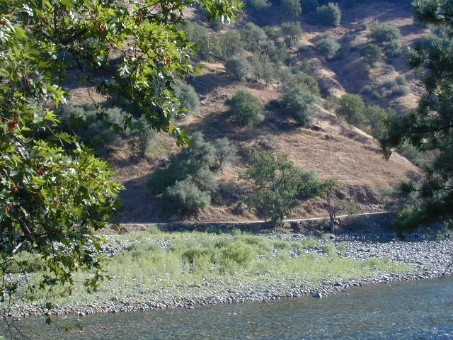
dirtroadskings

Kings is the longest river in the Sierra Nevada and very rugged and remote in most of the length. The Upper Kings is situated in the Wilderness and National Park at the highest of elevation. Granite alpine back country, with abundant small lakes, the Pacific Crest Trail and numerous Wilderness areas.

pct

The tallest peak, Mount Whitney, drains this way – down waterfalls and whitewater, westward to the San Joaquin Valley. Agriculture, farmlands and orchards of fruit.

The mid section of this mighty Kings River runs close to Hwy 180 inside the Kings Canyon National Park

fish

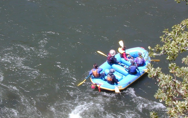
The Lower Kings is popular among campers, fishermen, kayakers and rafters, accessible most of the year. Upper Kings River is located inside the National Park boundaries.

hiker

Upper Kings River Headwaters

8000-10,000′ elevation
PCT trail camping, hiking trails lead 20+ miles from Cedar Grove, skirting the Joh Muir Wilderness

camp

NPS Campgrounds @ National Park
South Fork Kings River

Inside Kings Canyon National Park:
Cedar Grove Village @ end of Highway 180

elevation 4600′

may be closed during winter months.
reservations recommended.
NPS

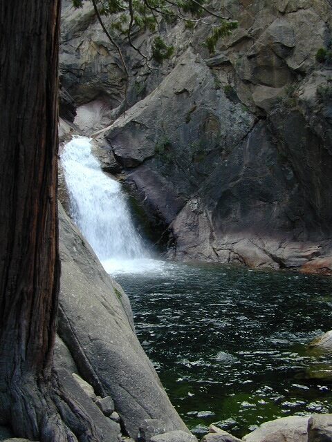
roaring falls

Roaring River Falls

Sentinel Dome (9115′ elev)

hikes
Roads End Trailhead
Backpacking trails lead up river from the paved parking area.
NPS – wilderness permits required for overnight stays.
Camping, day hikes and horseback trails. Wildlife and wildflowers abundant in this Cedar Grove / South Fork canyon.
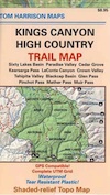
Kings Highcountry Topo Map

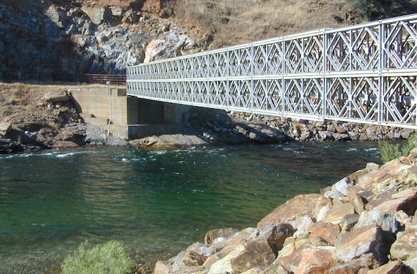
bridge kings

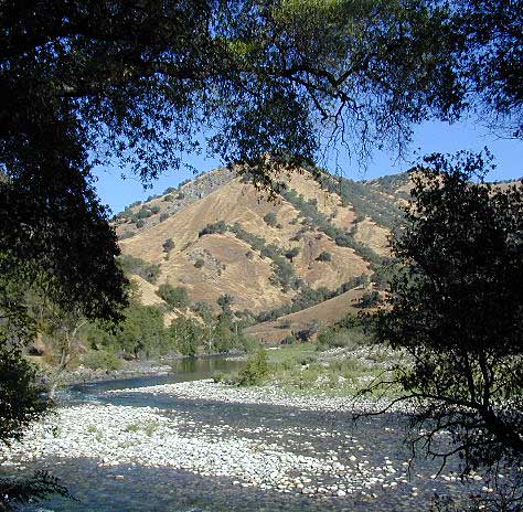
Camping near Lower Kings River

Open all year round. Outside the National Park boundary, westward in lower elevations, many more camping options are available.

NFS

NOTE: Sierra National Forest is located  on the north side, along the river shore in between Pine Flat Lake & Kings Canyon National Park. But Sequoia National Forest is located on the south side, so you may need more maps. Cell phone service is spotty or non-existent in this deep canyon.

Lower Kings is best accessed via the paved roads, up behind Pine Flat Lake, California

river
Trimmer Springs Road #11S12: a paved access road, that wraps around the northern shore of Pine Flat Reservoir. Very curvy and long, with 25 mph curves; this main route continues east into the massive Kings River Canyon.

Google Maps may have this road crossing the river, towards the end. Proper signage is questionable in the area, since local rednecks love to shoot up signs. Trimmer route quickly peters out to narrow dirt roads, anywhere past the Mill Flat Campground area.

Lower Kings is NOT easily reached via the National Park, nor Kings Canyon Highway 180. Dirt road travel is required on Road #12S01, which can be steep and rocky at best. The drive is a steep climb up to the highway, which may require 4 wheel drive in some sections, depending on weather and land slides. This road is rough, so you will need at least a high clearance rig and a good forest map. Winter brings some snow and abundant rains (NOV – APRIL).

LANDSLIDES and ROCK SLIDES are common with ROAD CLOSURES not always posted on the Sierra National Forest, NFS web site.
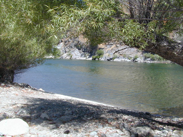
big river kings


poppy

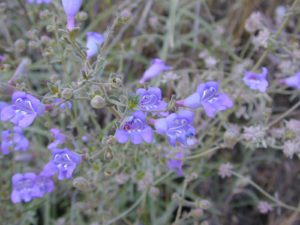
Wildflowers are abundant in this region for springtime. (MARCH-MAY)

camp

(north shore)
Lower Kings River
elevation 1100′

Sierra National Forest fish

Kirch Flat Campground NFS (17 sites)

tables & toilets

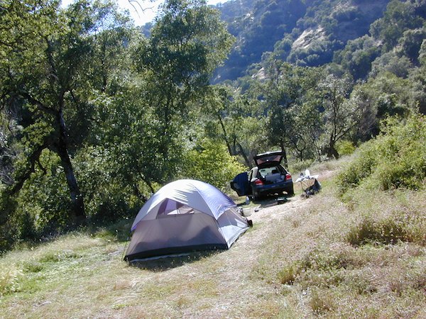
both above camps are free camp spots: boondocking, dispersed camps, primitive car camping, tent camping, RV camping, river fishing, kayaking, rafting

Sierra Road #12S01 – primitive camping, few pit toilets; fishing access, some trailhead camps and RV spots along river. The northern most arm of this road is also referred to as Road# 12S001 Garnet Dike, on the NFS web site.
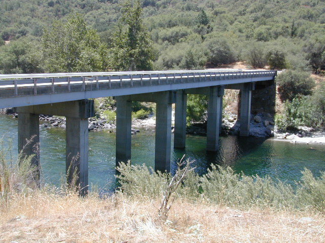
newbridge
Along paved routes, near bridges, some dispersed camping is also allowed. Campfire permits are required.

Sierra Road #9 is Big Creek Canyon a side route, graded dirt road worth exploring for primitive camping options. The farther you drive up, the more vegetation you will find. Campfire permits are required.

BlackRock Reservoir Road #11S12, another side route (paved) climbs steeply in elevation, along a cliff edge. This spot offers a small NFS campground near a lake, and is located along the North Fork of the river.
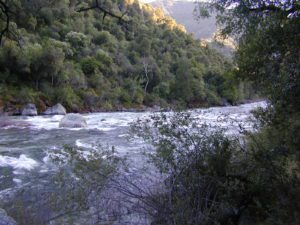
kingsflow2010
click to enlarge

(south shore)
Lower Kings River

elevation 1000′

Sierra National Forest

NFS

Lake View

boatramp

Pine Flat Reservoir

elevation 952′

rafterskings

Avocado Lake Park is down river and a perfect spot for a picnic or BBQ. A 210 acre day use park providing recreation that includes swimming, fishing and picnicking. The park has picnic tables, a group picnic area, BBQs, boat launching ramp and a playground. West of Pine Flat Reservoir, this grassy county park is only open during daylight and no overnight camping is allowed.

picnic

Next park down river is
Kings River Green Belt Park, which seems to be popular with joggers and dog walkers. Also run by the county, this place closes at sundown and no camping facility is offered.

RV

@ Highway 180

Riverbend RV Park
17604 E Kings Canyon Rd
Sanger, CA 93657
with seasoned organic firewood


Mill Creek California

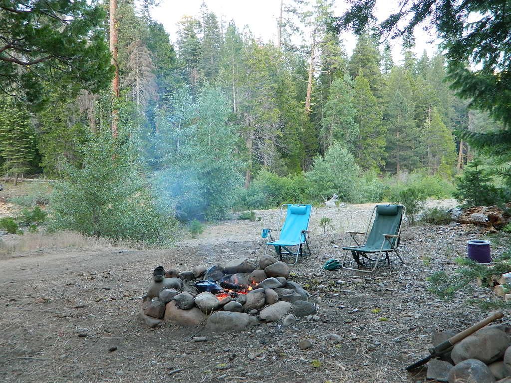
Lassen Camping for Free, Mill Creek @ 172
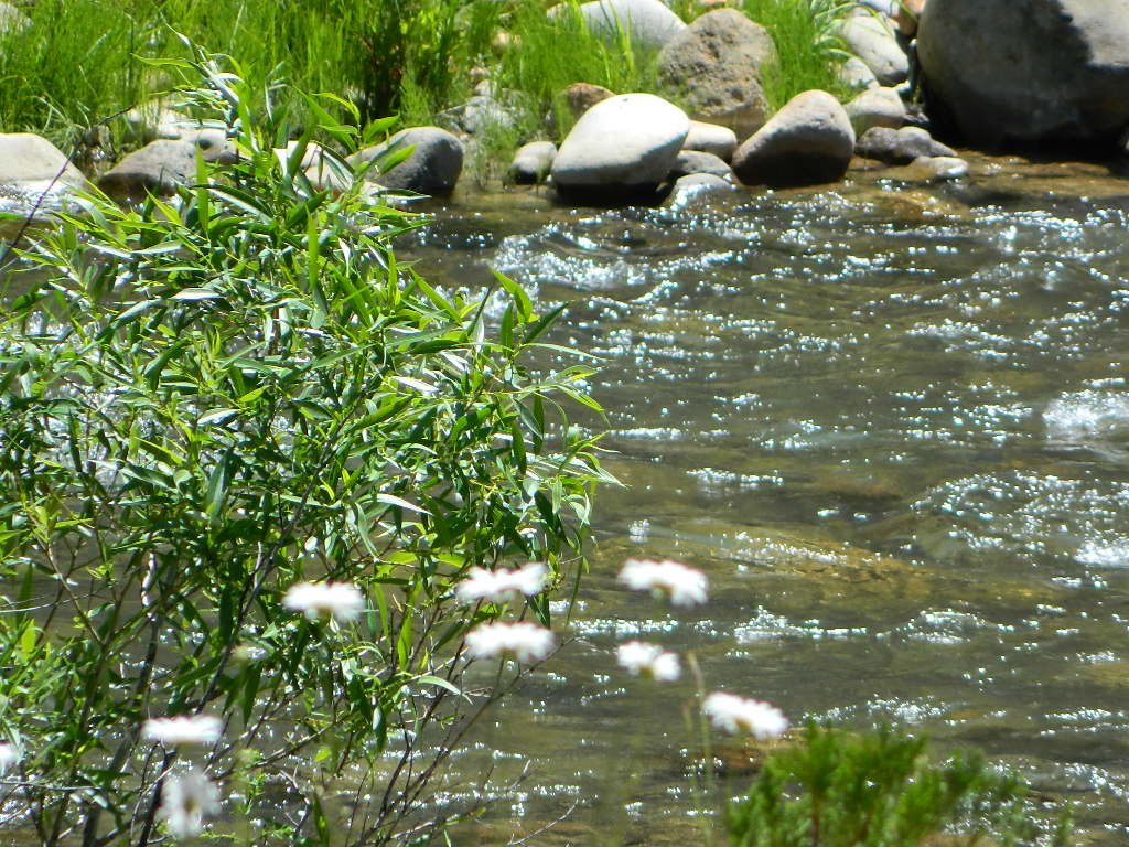
Lassen Camping for Free – on Mill Creek
Mill Creek w/ Lassen Peaks (July 2011)

Numerous Mill Creeks exist in the golden state of California. Here we will list most of them, some with campgrounds and others without. Waterfalls, big rivers and

driftwood

millcreekresort
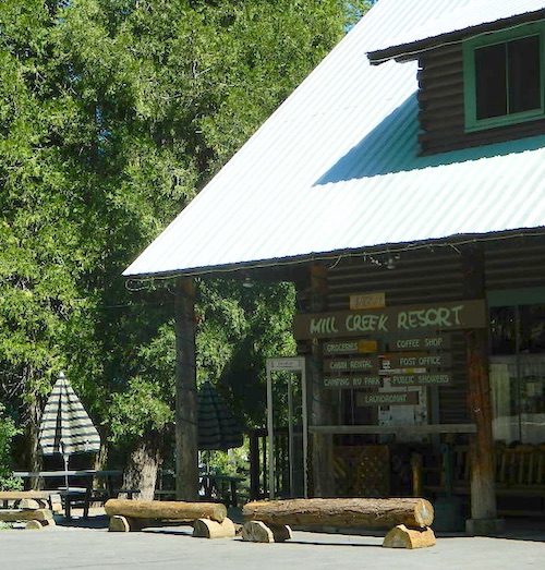
Mill Creek Resort, California

LASSEN NF

The well-known Mill Creek, is the one south of Lassen Volcanic National Park.

Certain areas could be closed to the public, due to the 2021 Dixie Fire

camp

MILL CREEK, CA

Small mountain resort in the forest near Mill Creek, with cabin rentals, RV camping and campgrounds nearby. A general store is open in summer months, and snow can be found in winter. Highway 172 makes a nice paved loop around this forested area and joins back to Hwy 36. Route may be closed due to snow in winter & spring. Free camping can be found along this creek, although a campfire permit is always required for camping outside of developed campgrounds.

Mill Creek Resort
40271 Highway 172, Mill Creek CA 96061
530-595 4449

Mill Creek Resort Campground

elevation = 4720′

  • 14 tent sites
  • 8 RV sites
  • reservations & fees
  • closed in winter
  • showers & flush toilets
  • picnic tables
  • camp fire rings

Mill Creek Indians: Described as a group of ‘renegade and outlaws’, from multiple tribes in NorCal. Mill Creek Indians took shelter in secluded Mill Creek gorge, located below the Mill Creek Rim, a volcanic ridge which extends from Mount Lassen to the Sacramento River Valley. See more on Ishi Wilderness.

see also – Hole in the Ground Campground in Lassen NF

Mill Creek Lassen
Mill Creek near Lassen (2015)
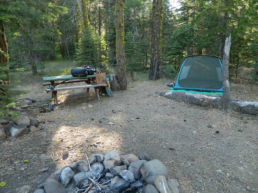
Camping Mill Creek
Camping Mill Creek – along Hwy 172

driftwood

MENDO NF

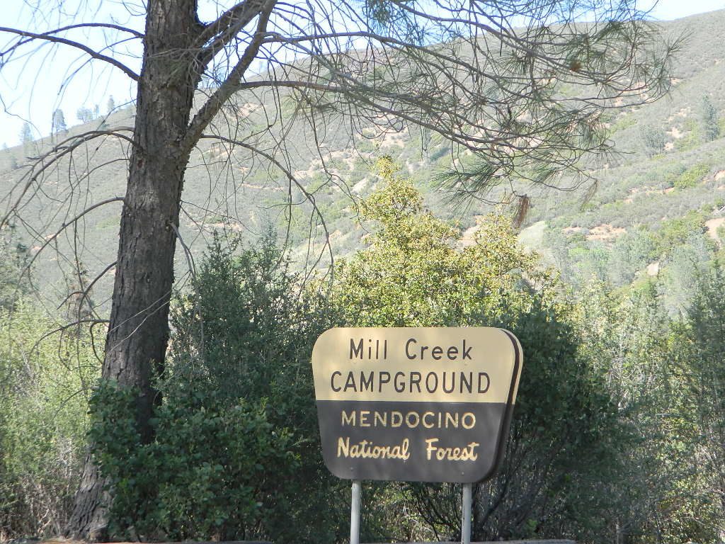
Fouts Springs is a popular off-road camping area on the far east side of Mendocino National Forest. Many miles off I-5, near Stonyford, CA. Numerous NFS campgrounds exist is this rugged canyon. One of them is called Mill Creek Campground and it has few pine tree and lots of chaparral, plus a decent little creek flowing nearby. OHV – off highway vehicle use is heavy in this region, so know when to go. At certain times of the year this remote canyon can be quiet and peaceful. Call the local rangers to find out.
ranger
Stonyford Workcenter
5171 Stonyford-Elk Creek Road
Stonyford, CA 95979
530-963-3128

NOTE:  RANCH FIRE, this whole Mendocino Forest was badly burned by recent wildfires.
Mendocino Complex Fire 2018

All of the Snow Mountain Wilderness was burnt and affected, including all the National Forest land surrounding it. Fouts Springs Campgrounds may have been spared, but the hills, trails and roads now lead to blackened forest.  Many routes could be closed; check with ranger station in advance of travel.

Mill Creek Camp @ Mendo
Mill Creek Camp @ Fouts Springs

driftwood

MODOC NF

south warner sign

Warner Mountains  hwy395

Mill Creek Waterfall is located on the western slopes of the Warner Range, near the South Warner Wilderness. On the headwaters to the Pit River; About 6 miles east of US Highway 395, near the town of Likely, south of Alturas, California

elevation = 5680′

mill creek falls
Modoc Mill Creek Falls in NE California

driftwood

KLAMATH NF

Mill Creek inside the Marble Mountain Wilderness.

  • Mill Creek Ponds Trailhead – Mill Creek Ponds Trail
  • Etna Mill Creek Trailhead – Etna Mill Creek Trail
    (Pacific Crest Trail access)

PCT

driftwood

PLUMAS NF

Mill Creek @ Bucks
Mill Creek @ Bucks

The Bucks Lake Wilderness region also has a developed NFS Mill Creek Campground. The camp location is well off the Bucks Lake Road, tucked deep in a tight canyon; northern most point and near a dam for the large NFSlogoBucks Lake.

elevation = 5200′

  • 10 camp sites
  • fee
  • closed in winter
  • 14 night camp limit
  • RV = 21′ max
  • pit toilets
  • picnic tables
  • camp fire rings

Bucklin Road (aka Bucklin Dam Rd and Road 33) #24N24 a paved road on the west end of Bucks Lake, connects to Road #24N88X which leads back to this smaller campground; camp sites are paved. Steep driveway down.

This Mill Creek intersects Bucks Lake at the campground, then connects to the PCT hiking trail, although the narrow dirt road #24N88X veers away from creek a few miles up.

driftwood

SEQUOIA / SIERRA National Forest

This Mill Creek is located on the south shore of the lower Kings River, above Pine Flat Reservoir. This is the boundary where Sequoia NF meets the big river, and on the other side of the water is the Sierra NF.

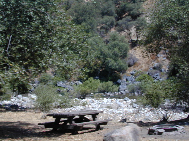
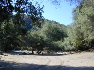
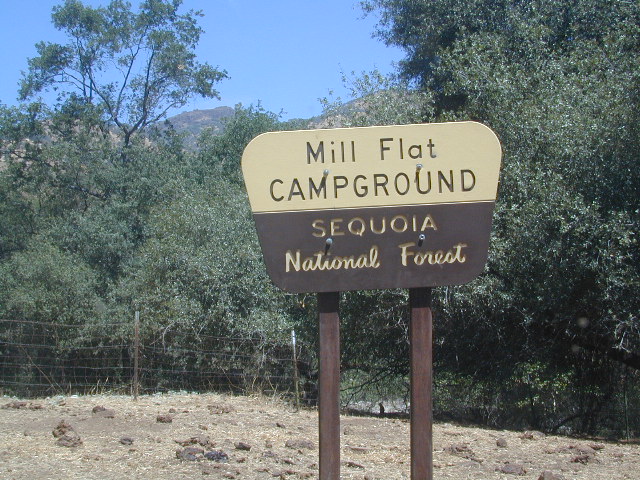
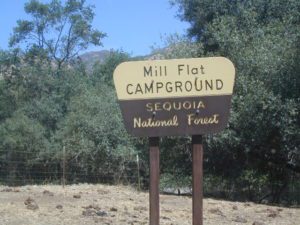
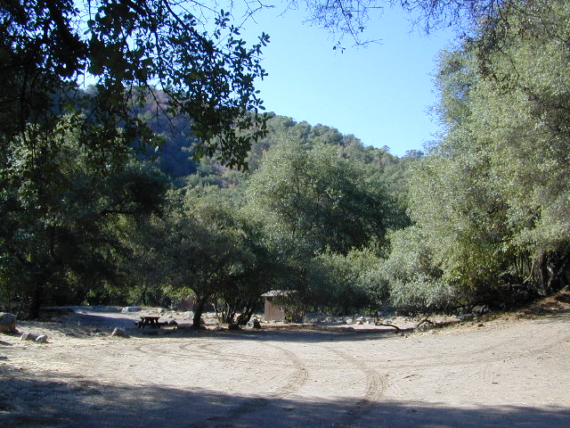
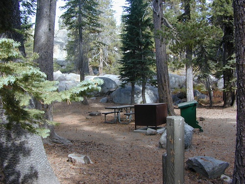
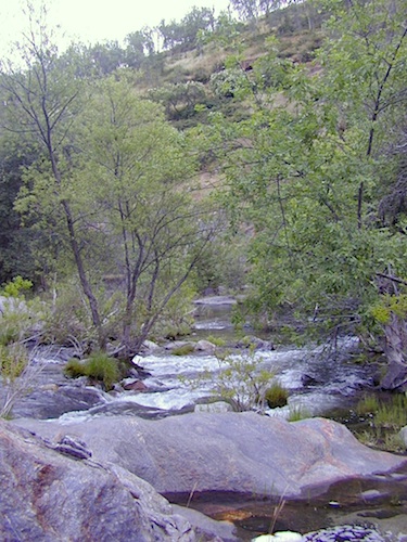
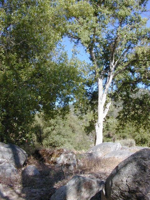
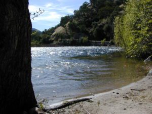
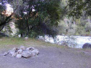
Mill Flat Campground (also known as Mill Creek Camp) is a shady, oak flat campground on a dirt road, located at a dead end canyon site, right on the rocky rivers edge.

kings river view

As usual – the further you drive, the more seclusion you will find. This observation holds true for this Mill Creek location. During peak summer months, there may be families enjoying this spot, but most of the year it is virtually empty and rarely used.

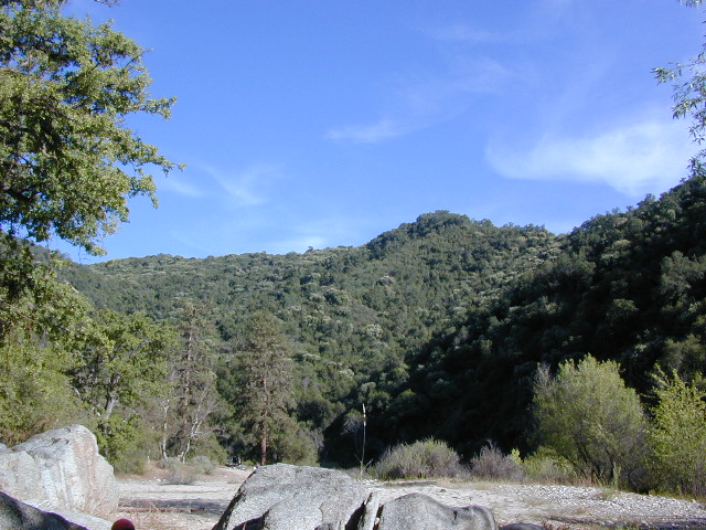
Oak foothills, canyons, granite rocks, wildflowers. Fishing, camping, hiking, rafting, kayaking.

No cell phone coverage back in this deep canyon.

free river camp sites

NFS Mill Flat Campground @ Lower Kings River

elevation = 1167′

  • 5 camp sites
  • free, no charge
  • open year round
  • 14 night camp limit
  • RV = 25′ max
  • pit toilets
  • picnic tables
  • camp fire rings

kings tables

campground mill creek

Mill Flat Kings River


Free Campgrounds Sierra

Granite Creek

Free Campgrounds in the Sierra Nevada Mountains, California

no charge camp, no fee camping, free campgrounds

No fee camping: Bare bones. California Sierra Campgrounds without the fee.

NFSlogoDeveloped BLM or NFS campgrounds, where you can still have a campfire. Vault toilets, panic tables and fire rings. Use bear boxes when provided for proper food storage.

secluded campgrounds

Below is a good long list of some favorite free developed campgrounds in the Sierras. Many will require dirt road driving, as most are located well of the highway. Perhaps the 12 mile rough road will thin out the crowds. Free overnight stay!

2020 update: this list is shrinking, as more California National Forests start charging for the smallest of campgrounds. 

campfirePack in your drinking water and pack out your trash. Campfire permits are not required at developed campgrounds; but a bringing a water bucket and shovel is necessary for tending your campfire. Piped water is not always available, or perhaps, not in working order at these primitive style camps. Be prepared to rough it a little.
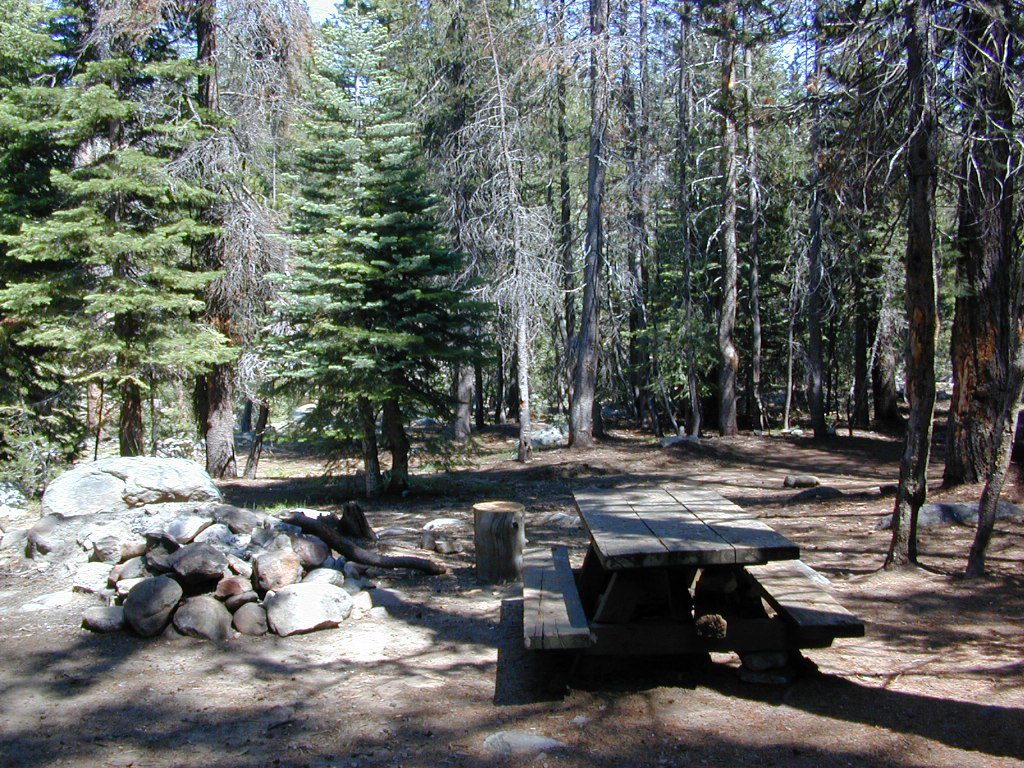
Sierra National Forest – Central Sierra

Mammoth Pool Areacamptruck

Granite Creek Camp
Granite Creek Campground

Redinger Lake lakeboatramp
open all year long; no campfires

Redinger Campground

Courtright Reservoirlake
no-fee OHV

Voyager Rock 4×4 Camping

4x4

Huntington Lakelake
no-fee OHV

West Kaiser Camp 4×4

Kaiser Pass Roadlake
no-fee camping

Dinkey Creek Roadlake

Sawmill Flat Campground

Kings River Campgroundfish
free river camping

mosquito_lake
Mosquito Lakes @ Ebbetts Pass Hwy 4

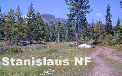
Stanislaus National Forest – Central Sierra

Highway 4 – Ebbetts Passhiker

mosquitoTH

Highway 108 – Sonora Pass

Hwy 120 – West of Yosemite NPcamp
Tuolumne Wild & Scenic River

Eldorado National Forest – Central Sierra

Tahoe National Forest – Northern Sierra

creekcanyon
Canyon Creek, Tahoe NF

Highway 89 – Truckeehiker

Interstate 80 – Donner Pass

French Meadows Reservoircanoe

campsite snag lake
Snag Lake (free) Camping on Gold Lake Highway

Plumas National Forest –  Northern Sierra

Brady’s Campcamptruck
NFS Campground
West of Quincy, CA
Highway 70

breckensign

Sequoia National Forest – Southern Sierra

Breckenridge Campground
Forest Rd# 28S06
South of Kern Rivertree_stainglass

Giant Sequoia Area

Kings River Area

Mill Flat Kings River
Mill Flat @ Kings River
campground mill creek
Kings River Camping

see alsoWalk-In Campsites


Black Rock Campground

Black Rock, California

At least 5 camping grounds called Black Rock around California.

Sierra Blackrock Reservoir

desert

SouthernCal Desert

Black Rock Campground @ Joshua Tree National Park

NPS

This popular camp is in Southern California, near the town of Yucca Valley, California. This is a NPS Campground w/ fee, reservations are recommended. Open all year long.

Joshua Tree National Park is nearby, but the campground is not located inside the park. It is however, a close to the town of Yucca Valley.

Black Rock Campground NPS
760-367-3001

• Elevation: 4,000′
• Number of Sites: 100
• Vehicle Accessibility: RV 40′
• Campsites Reservation: Yes
• Length of Stay: 14 Days
• Season: Open all year
• Trailheads: Warren Peak, High View Nature Loop, Panorama Loop

joshuatrees

Black Rock Horse Camp located next door, can accommodate up to 20 horses w/ corrals and room for RVs. With California Hiking & Riding Trail, group camp and equestrian facilities.

horseback


Sierra Nevada Mountains

LGVR
La Porte camping at the big Reservoir.

LGVR has a Black Rock Campground NFSlogoand boat ramp @ 5000′ elevation in Plumas National Forest. This is the only campground on the western shore of Little Grass Valley Reservoir – La Porte Road, La Porte, CA


northkings
North fork of Kings River , upstream.

Black Rock Lake (also known as Black Rock Reservoir) is located in the lower Kings Canyon region. North fork of the Kings River in Sierra National Forest; West of Kings Canyon National Park.NFSlogo

Sierra Forest Road #11S12 – a one lane, paved road – narrow, steep, RVs and trailers are not allowed.  Small campground, granite rocks, fishing, no boating.

gorgeview
Road #11S12, gorge view

NorthernCal

In the rugged volcanic canyons above Chico, CA – the Ishi Wilderness splits the landscape into volcanic rock ridges. Geologically, one of the oldest rocks in the Lassen National Forest. A small, rustic campground is way back in here – and if you are adventurous w/ a proper vehicle and bored – you could to go find it.

Black Rock Campground NFS

• Elevation: 2,100′
• Number of Sites: 6
• Vehicle Accessibility: High Clearance, maybe 4WD
• Camp Fee: No
• Campsites Reservation: No
• Length of Stay: 14 Days
• Vegetation: Oaks
• Season: Open all year
• Trailheads: Ishi Wilderness, Mill Creek Rim

hiker

Very long dirt road. Minimal facilities. Rustic and remote. No RVs.

Access from Highway 36, East of Red Bluff. Take Ponderosa Way.

Access from Cohassett Road in Chico. Cohassett Road all the way – up to Campbell Ridge, and then take Ponderosa Way.

Ponderosa Way is Lassen Forest Road #28N29, a dirt road access of 20+ miles. Unmaintained most of the year. Landslides and erosion are common on long dirt roads, so take caution and call ahead for road conditions.

In this wild canyon area, there are no services, maybe limited cell phone signal too. Beautiful views of the Ishi Wilderness, Mill Creek Rim and great swimming holes on Mill Creek.

This campground is not easy to reach. High clearance required on this route, but 4×4 is usually recommended.

You may need a chain saw depending on the time of year. Flash floods are possible in drainage from Mount Lassen, so check the weather forecast.

  • backpacking
  • camping
  • fishing
  • hiking
  • horseback
  • hunting
  • mountain biking
  • OHV trails
  • swimming

see more on Mill Creek California


butterfly

Black Rock City is a reference to the Burning Man festival

Annual event held in late August, on a dry lake bed in Nevada. Black Rock Desert BLM land, north of Reno, NV

4x4

Also similarly named Black Canyons & Black Mountains –

(located in Mojave Desert)

Black Canyon Road near Barstow, CA. Rainbow Basin, Owl Canyon Campground, Inscription Canyon petroglyphs. BLM Barstow

Black Mountain Wilderness

horseback

blackrockgroup
Mojave National Preserve Group Campground

Black Canyon Group Campground – high desert camping; near the Hole-in-the-Wall hiking trail in the Mojave National Preserve.
760 252-6108

  • group camping
  • equestrian camps
  • picnic areas
  • hiking trails
  • freeway close
mojavehikes
Mojave Hikes @ Hole in the Wall

11S12 – Sierra NF

engineering_x

Black Rock Road #11S12
– Sierra National Forest

North Fork of the Kings River, Blackrock Rd

connects Kings River @ Pine Flat to Blackrock Reservoir.
Road closed seasonally for winter; call ahead.

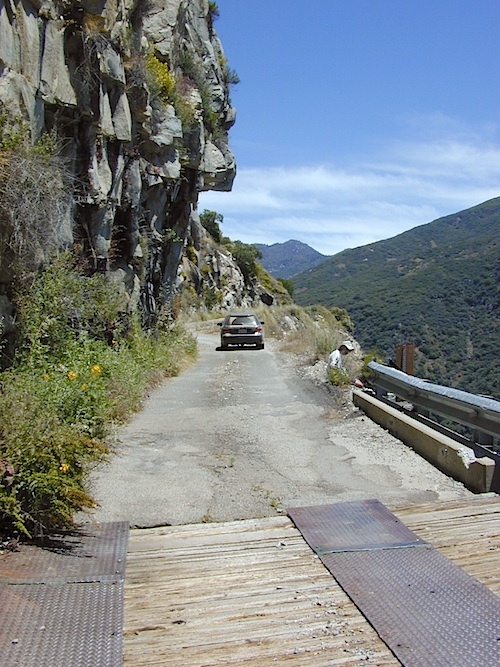
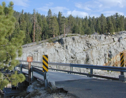
This impressive Sierra Nevada route literally climbs a granite cliff high above the Kings River, near Pine Flat Lake north of Sequoia Parks, inside Sierra NF. This granite gorge is due east of farm city Fresno at the edge of Kings Canyon National Park.

If you are a nervous, inexperienced driver and scared of heights – be forewarned: this is not the road for you. The views are amazing, but the terrain can be unforgiving, even deadly.

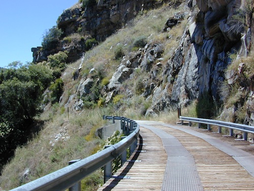
Paved, narrow, one lane, giant rock overhangs, no guard rails (except on the bridge) the route skirts the North Fork of the Kings, coming down from Wishon Reservoir.

Blackrock Road

Click image above to enlarge and see the tiny Kings River far below the road.


Black Rock Lake

Blackrock Reservoir, located up the road – has a PG&E campground in a secluded canyon, with lake fishing and hiking, so it is well worth trouble to take this crazy road. Granite rock canyon, steep mountains, minimal roads.  Seclusion can be found, up this way.

Utmost safety should be taken on this road due to the extreme terrain. When driving one lane roads always keep an eye out for possible turn-outs and oncoming traffic. Forest and lake personnel have living quarters at the base of this road @ BALCH CAMP, so keep driving when passing thru. Follow signs to Blackrock.

breaktime

Above Blackrock Reservoir, further up the canyon, the road becomes DIRT when the pavement stops; this continues to Sawmill Flat Campground and eventually on to Dinkey Creek Road. This whole upper (dirt road) portion is gated for winter and closed during the wetter months. Call ahead to the ranger station at Trimmer to find out if this road is open.

Sierra National Forest
Trimmer Ranger Station
559-855-8321

Sierra Kings River Camping

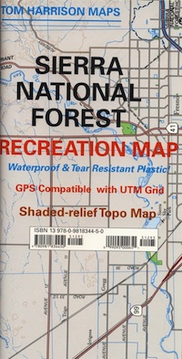
Sierra National Forest Map USFS
northkings
North fork of Kings River
gorgeview
Road #11S12, gorge view

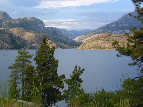
Wishon Reservoir

Lake Wishon – Sierra NF

Western Sierra Nevada Lake
Central Sierra California

lake wishon

East of Fresno, CA
East of Shaver Lake

EB from Fresno, Hwy 168 up to Shaver, w/ another 30+ miles on paved backroads
(Dinkey Creek Rd & then McKinley Grove Rd)
Way, way back, beyond Dinkey

You gotta really wanna BE at places like this. Magical High Sierra mountains – California’s finest. Sheer beauty surrounds this lake w/ granite domes, granite cliffs, granite trails, forests, peaks and plenty hiking, fishing, water and boating. It does take planning (way ahead) to make it out here, cuz the area is only accessible during summer months. Typical of high altitude lakes, snow buries them annually and the roads get closed off to the public (usually NOV-MAY is winter). Some backcountry routes become snowmobiling trails during winter, and the Sierra National Forest has plenty of great snomo action (if snow is deep).

Wishon Lake, California
elevation: 6600′

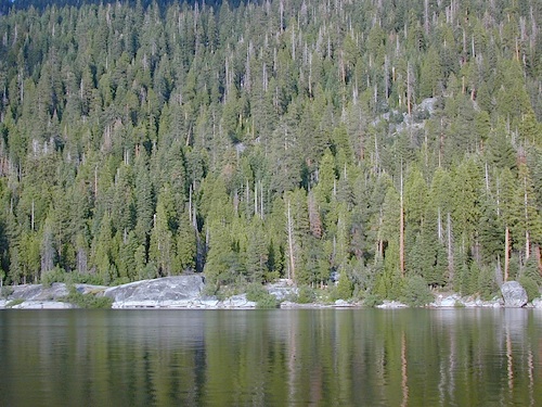
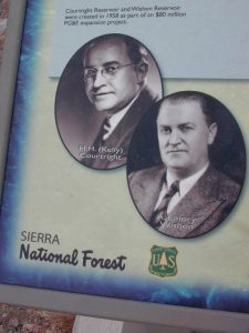
High Sierra Granite Reservoir with pines trees and rocky, granite shoreline. Not nearly as amazing as its cousin w/ the domes to the north, Courtright, Wishon has less granite & less wind, but more accessible backroads to explore, plus more car camping options. Both lakes are part of the Helms Creek hydro-electric project (dams) that make up the PG&E water infrastructure out in these parts – The Kings River Drainage System.

Backpacker trailheads, Woodchuck, Rancheria & Crown Valley all lead to dead end dirt roads – with nothing but solitude for miles & miles. Some might be passenger car accessible. Winter weather changes dirt road conditions (often).
The Kings River Geological Area is nearby, as well as both the John Muir Wilderness & Dinkey Lakes Wilderness.

Wishon Sierra Nevada

Large Reservoir with 8,000-10,000′ high sierra mountain peaks surrounding. Pine forests, views, fishing, camping, hiking in every direction, secluded dirt roads. Perfect high elevation trailheads, next to John Muir Wilderness. Great for backpackers!

All boating, but no waterski or jet ski.
One public boat ramp. Fishing boat rentals available.
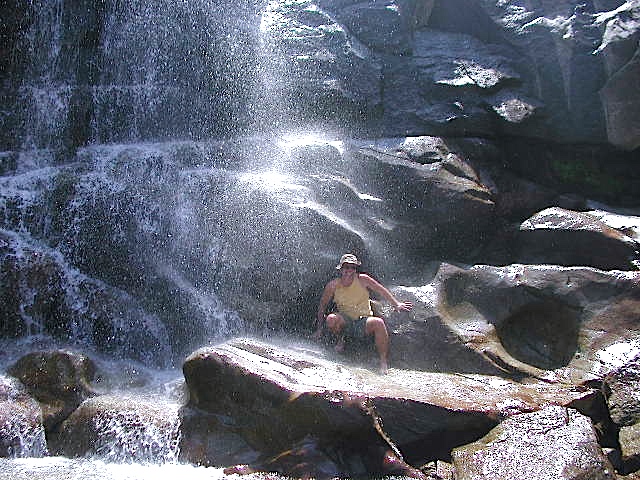
WARNING: Water level changes daily.
 

lake area recreation:

Backpacking
Boating
Campground Camping
Dinkey Lakes Wilderness
Fishing
Hiking
Horse Pack Trips
John Muir Wilderness
Mountain Biking
Primitive Camping
Sierra National Forest
Snowmobiling the Sierras
Spanish Lake 4×4 Route

bridgewishon

Wishon is a summer vacation paradise for trout fishing, hiking, backpacking and back road exploring.

CLOSED FOR WINTER: NOV-APRIL = Snow closes the road for winter. For all you hardcore campers and hikers, you must call ahead to see if roads are open. It is rural forest, well traveled, but snow storms will shut everything down out here (for many months). Although, in some mild winters you can drive as far as Dinkey Creek on pavement. Gates are locked beyond that.

Central Sierra Wishon Lake Camping

LilyPad Campground @ Wishon Lake

Upper Kings Group Campground (by reservation only)

helpful numbers:

High Sierra Rangers Office: 559-855-5355
Pineridge and Kings River Ranger Districts
29688 Auberry Road, Prather, CA 93651

Dinkey Creek Ranger Station
(June thru September)
559-841-3404

Wishon Village RV
66500 McKinley Grove Road, Shaver Lake, CA 93664
559-865-5361

Engineering

Other places nearby


Black Rock Lake
Sierra Forest Road #11S12
Courtright Lake
Dusy Ershim 4×4 Trail

Dinkey Creek Campground
Dorabelle Campground
Gigantea Campground
McKinley Sequoia Grove
Sawmill Campground (dirt road)

Free, primitive or open camping abundant on the dirt backroads in Sierra National Forest. 4 wheel drive is not required for most routes, but a high clearance rig would help. Some gravel roads are graded annually and suitable for passenger cars – during summer months and only for about the first mile or two, off of the main road (pavement). Mud and snow are common on backroads!

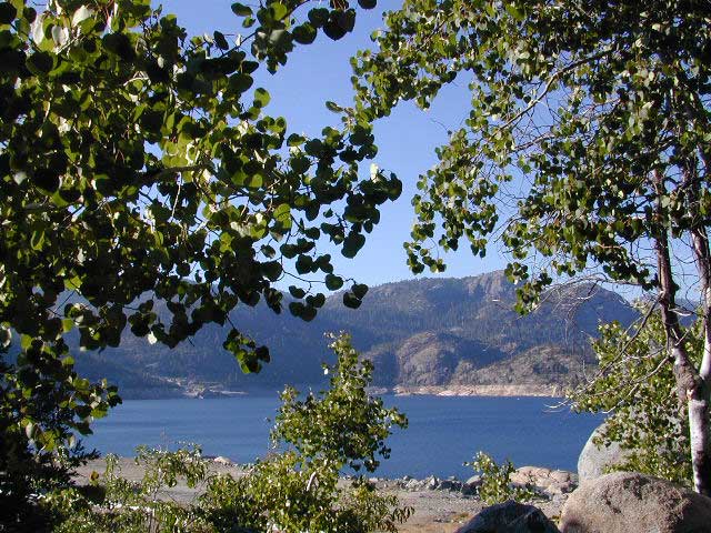
Aspens @ Wishon, Western Sierra
nearby towns:
Fresno, CA
Huntington Lake
Lakeshore
Pine Flat
Prather
Shaver Lake


Sierra National Forest Map
Dinkey Lakes Map
Dinkey Lakes Map
John Muir Wilderness Trail Maps Sierra Nevada Topo Map

Wilderness Wishon California

wish on

NOT TO BE CONFUSED WITH:
Wishon in Giant Sequoia & Wishon @ Bass Lake

There is another popular camp spot called Wishon Camp – on the Western Divide Highway, much further south in the Sequoia National Forest.

Wishon Campground on the Tule River in the Giant Sequoia National Monument. Just up from Springville, CA

And also, the Bass Lake Wishon; there is another WISHON Campground at popular Bass Lake, South of Yosemite NP.

Central Sierra Nevada Mountains

Small Camping Lake
Kirkwood Lake Campground

Central Sierra Nevada: Sequoia to Donner

Although Sequoia trees can be found in the southern Sierra, the National Park is located more in the mid-Sierra. From the Kern River to Kings River,  the southern stretch of Sierra Nevada is home to the southern most Sequoia groves, the longest river in California, and the granite dome wonderlands that overlook the Mojave Desert.

The Tehachapi range is on the tail end to the south w/ Hwy 58, while Kings Canyon Park borders more High Sierra Wilderness to the north end. If you are heading up from SoCal, this is the most accessible portion of the Sierra Nevada range.

While the Kern River Valley can get hot in the summer months, the rivers, streams & higher elevations surrounding it, make it a prime destination for folks seeking cooler mountain breezes, creeks and dark skies. Springtime is one of the best times of year to visit the Kern River. While summer is best for the high wilderness areas, since the snow usually doesn’t melt until May.

Mountain Home State Forest is a little known haven for campers & hikers seeking less-crowded Sequoia groves. With the Tule River, fishing ponds, waterfalls, swimming holes & meadows, this place provides a nice solitude to the busier parks to the north. Balch Park is a county park w/ large campground, that sits adjacent to Mountain Home Forest.

Both National Parks (Seqouia & Kings) are both busy in summer & tourists can be seen lining the main road, Highway 198. Crystal Cave & Boyden Cavern both offer daily tours during the warmer months. Sequoia National Park is open during winter months & is popular among winter sports enthusiasts. Kings Canyon National Park & Hwy 180 are also open during winter, with winter sports recreation.

Big Meadows Road (14S11) offers great camping options for those that wish to camp outside the National Park boundaries.

Sequoia groves

Sequoia forest & parks –

Sequoia National Forest
Mountain Home State Forest
Sequoia National Park
Kings Canyon National Park

Sequoia maps & trails –

Sequoia towns nearby –
Alta Sierra, Camp Nelson, Fairview, Kennedy Meadows, Kernville, Lake Isabella, Mineral King, Ponderosa, Springville, Three Rivers, Wofford Heights

Sierra Nevada

Central Sierra Nevada forest & parks –


Sierra National Forest

Yosemite National Park

Stanislaus National Forest

Eldorado National Forest

Tahoe National Forest

Sierra Nevada

Central Sierra Highways –

Central Sierra Nevada maps & trails –

Rancheria Falls
Rancheria Falls, Huntington Lake, CA

Central Sierra Nevada towns nearby –
Bass Lake, Fish Camp, Huntington Lake, Pine Flat Reservoir, Shaver Lake

stanislaus sonora pass

Gold Country California

is located in the western foothills of the Central Sierra Mountains

Historic Highway 49 is the Gold Country Hwy, which begins down near Yosemite and leads north, thru the foothills, up to Sierra Buttes & ends out near Loyalton, CAgold miner

Sierra NF – Road #9

sierra10S69

Sierra National Forest
Big Creek Road #9

aka. Rd #10S69

Connects Pine Flat Reservoir @ Lower Kings River, to upper elevation Sierra forests near Dinkey Creek Road. McKinley Grove of Sequoia

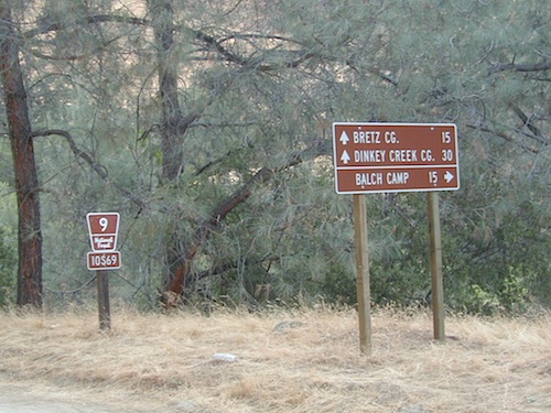
Sierra Road number 9 is a north turn off of Trimmer Springs Road. Marked as National Forest Rd #10S69, as well as just plain NINE. Big Crk. canyon is after the Maxson Road junction, and before the Balch Camp / Blackrock Reservoir turn off on #11S12. The area is known for abundant wildflowers in the early season.

dirt road climbs 25+ miles thru Sierra NF

sierra9

  • back road exploring
  • camping
  • fishing
  • hiking
  • hunting
  • kayaking
  • picnic areas
  • swimming
  • wildflowers
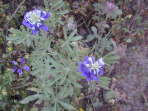
Tall White Lupine
Tall White Lupine

Big Creek Rd 9

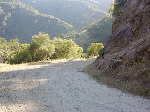
A popular dirt road drive for the western Sierra – Pine Flat Lake region. A forested, south facing canyon in the Southern Sierra Nevada Mountains. Big Creek, wide, graded, dirt road w/ primitive camp sites. 4×4 could be needed in wetter months.

The higher you go on this route, the more pine trees you will experience. Winter weather can close this route. A campfire permit is required to camp along this road.

The lower part of the canyon has rock features, small waterfalls, swimming holes, picnic spots and sometimes cattle grazing. Several prime unmarked, primitive camp sites along this road – but few and far between. High clearance or 4WD may be needed, depending on road conditions.

sierra hiker

Soaproot Saddle Road is a not-so-obvious left fork (dirt, without signs) that leads steeply up away from main road. Climbs a steep hillside, way up above and along Rush Creek; continues for many miles. Less people back this way, if you are seeking seclusion. Few primitive camp sites on right side of road, near where the creek breaks away from road. Good for stargazing way back here. 4×4 may be needed. Road may or may not connect through to desired destination.

The mid-route climbs into pine forest and the dirt road switchbacks, steeply, with a few more camp sites available; usually found on short side roads off the main road.

sierra creek camps

At Sierra #9, a major junction w/ dirt road #10S69, called Dinkey Trimmer Road. This leads way off through the rugged terrain, many miles, over to the pavement at Dinkey Creek Jct – Campground, Trailhead and Dinkey Lakes Wilderness.

Big Creek will turn left (north), and follows the large Big Creek Canyon. Several steep miles climb up into the dense pine forest, following the creek the whole way. Several prime creekside camp sites fill up fast in this stretch. Great views, steep dirt roads. GPS waypoint these camp driveways – so you can find it next time, (first, before everyone) on Friday, Thursday before midnight.

Peterson Mill Road is Rd #10S02, found on the left (west) side of Sierra #9. That westbound route becomes pavement half way back to Highway 168. This way is the quickest way from Fresno, out to the developed NFS Bretz Campground.

Sierra #9 Big Creek Road arrives in the densest of forests. Many camp sites and side routes to explore. Dark, upper elevations, snow lingers long in the shade. 4WD may be needed in wet areas. Mud is quite common MOST of the year in this spot, so know your vehicles capabilities before you get yourself stuck (or stranded). It’s a very long walk to any kinda civilization!

Hunters like to use these upper camps during hunting season. A camp fire permit is required, so bring your shovel and bucket; self-sufficient campers enjoy the back roads most often.

wild sierra flora

Bretz Campground NFS is up here on the main road, number nine. Clock it w/ dash trip meter; 15 miles from the road start @ Pine Flat Lake. Popular with OHV and 4×4 groups. Max RV or trailer length = 24′
Open all year long; No fee.

Sierra Forest Road #9 the far north end, enters Blue Canyon @ #10S18, but the Rd #9 route continues NE as Providence Creek Road. Eventually intersecting @ Dinkey Creek Rd w/ Rock Creek & Dinkey Dome closeby. Great granite 4×4 Trail @ Bald Mountain (elev. 7832′) overlooking Shaver Lake.

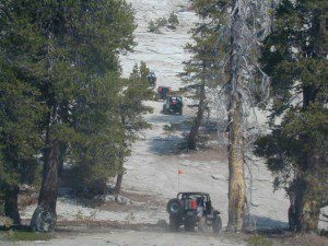
Jeepers on granite @ Bald Mtn, above Shaver Lake, CA

Kings River Camping

2 tone lupine

SIERRA MAP
sierra National Forest map

places nearby –
shaver lake map

Balch Camp (utility & NFS)
Black Rock Reservoir
Courtright Reservoir
Dinkey Creek
Huntington Lake
Lakeshore, CA
Pine Flat Lake
Shaver Lake, CA
Trimmer Springs
Wishon Reservoir

12S01 – Sierra NF

12S01kingsriver

Kings River, Sierra National Forest
Road #12S01 – Lower Kings

Located in between Kings Canyon National Park and Pine Flat Reservoir. Graded dirt road w/ trailhead parking & camping; Primitive car camping, vault toilets, some areas accessible by small RV. Campfire permits are required.

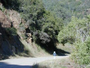
Long, (sometimes rough) dirt road, that parallels the north side of the Kings River. Dirt road used by families, fishermen, kayakers, campers, mountain bikers, rafters and rafting shuttle buses, seasonally. May be gated and closed off to the public in wetter months of the year.

Bear Wallow Trailhead
Kings River Trailhead

kingscampsites
click to enlarge

Forest Route 12S01 crosses the river and leads to the south side of the river, near Green Cabin Flat. Mill Flat Campground is back this way.

Road 12S01 gains in elevation, turns to high-clearance, continuing up McKenzie Ridge thru a small slice Sequoia National Forest to the highway Kings Canyon National Park. 4×4 may be needed in wet/snowy weather.

flats of kings