Tag Archives: lake

Lily Pad Campground

Lilypad Campground @ Lake Wishon Reservoir
Sierra National Forest, California
The long journey up the mountain into the Sierra National Forest is only for the true adventure seekers. First off, get a good forest map. Second, plan several days if not a full week off of work to explore this region in depth. It is a long drive from most anywhere in California, and this spot is way, way tucked back in there right up against the High Sierra peaks and wildness.

East of in Fresno, historic village of Clovis is a good lunch stop in route. Drive up mountain on Hwy. 168, turn right at Shaver Lake on to Dinkey Creek Rd. Now you will clock the mileage 28.7 miles to the camp. Drive past McKinley Grove and past Dinkey Creek. Follow signs to Wishon Reservoir. This campground is located adjacent to the road before you reach the dam.

All this travel time will have you asking ‘is it worth it’? The answer is ‘yes’….. if you want an uncrowded lake with plenty of wilderness surrounding you. Granite rock and forest all around. Lake Wishon is a hydroelectric reservoir operated by PG&E

Lily Pad Campground

Central Sierra Camping – Wishon Lake

High Sierra Rangers Office: 559-855-5355

• Elevation: 6,500′
• Number of Sites: 15
• Camping Reservations: No
• Sites Available: First come, First serve
• Vehicle Accessibility: 35′ limit on RVs & trailers
• Length of Stay: 14 Days
• Toilet: Vault
• Water: Piped
• Season: Closed in Winter Snow
• Fee: Yes
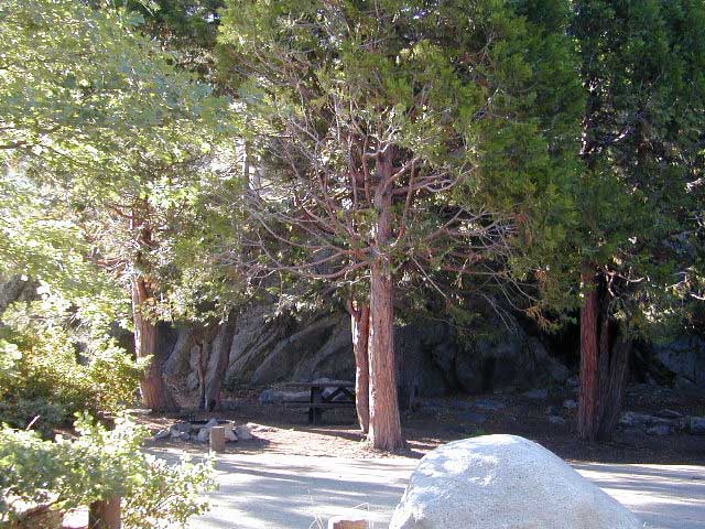
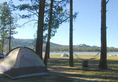
camp sites at lake

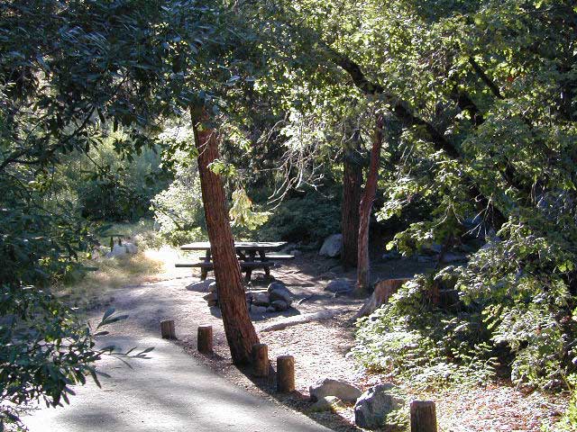
Large granite boulder coves provide cubby-hole privacy w/ shady trees and well spaced camp sites. Very unique design with paved driveways, adequate for handicapped camping with some sites with better access than others. 4 camp sites are considered walk-in sites.

Lake views from camps are only a mere climb up to the top of the nearest granite, which will show you just how close you are sleeping to the big water.

As with any Sierra location, holiday and summer weekends are the most busy. Tourists, family campers and RVers are all out enjoying the sunshine. Mid-week camping is good for fishing, relaxing w/ peace and quiet. Off season is best for having the place to yourself.

Outdoor recreation in the area include – hiking, camping, backpacking, rock climbing, mountaineering, sightseeing, kayaking, canoeing, mountain biking, off-roading, creek fishing, lake fishing.


Neighboring Wishon Village has a small general store, RV park w/ wifi & boat rentals.


San Diego Lake

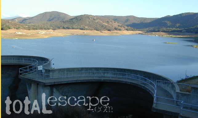
sutherland Reservoir

Lakes in San Diego CA
San Diego County Lakes & Reservoirs

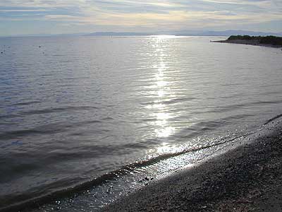
Salton Sea, way out past Anza Borrego desert is indeed surreal, but nothing too spectacular

Baja mountain camping at Laguna Hanson. Baja California Norte
Lake Dixon in North County San Diego, near Escondido, CA

Barrett Lake, near Tecate CA
w/ plenty of off-roading trails @ Corral Canyon OHV Park

      • south of Interstate 8
      • steep slopes & granite boulders
      • vegetation is chaparral & coastal sage
      • elevations range – 1,600′ – 3,681′
      • wood fires prohibited
      • portable stoves permitted
      • groups limit – 15 people
      • visitor permit required
hikes NFS camping

Looking for alpine lakes, dense forest and dramatic mountain scenery? 

Of course you are. That’s why half the population relocated to California, to endlessly search for summer vacation destinations in alpine bliss and stay overnight next to a secluded mountain lake. You’ll need to leave SoCal to find these beauties, but they are out there if you have the time to travel and spend a week enjoying one. Midweek, the fish are all yours. Check out our huge California Lake List.

Thousand Lakes Wilderness

NorCal hiking & backpacking

Thousand Lakes California

Although the name suggests more, the number of lakes in this region is approximately seven: Eiler Lake and Box Lake are the 2 largest lakes within the Wilderness boundary. Logan Lake and North Battle Creek Reservoir are on the outskirts. Trout fishing is a popular recreation sport all around Lassen. Thousand Lakes Wilderness is part of the Cascade Range in northern California. 16,335 acres and 21 miles of trails, all managed by Lassen National Forest. The area lies midway between the mountain town of Burney and Lassen Volcanic National Park.

Volcanic activity and glaciers have combined to create the Lassen topography. Dominated by Crater Peak 8677′, which is the highest point in Lassen National Forest, this area is a reminder of the glacial action that eroded the original, much larger Thousand Lakes Volcano and created the many small lakes and ponds scattered throughout the region. Wildlife includes black-tailed deer, black bear, pika, pine marten, northern goshawk, spotted owl, pileated woodpecker, and Clark’s nutcracker. Even elk have been known to visit occasionally.

Lassen National Forest
Lassen Volcanic National Park


View Larger Map

Thousand Lakes Wilderness

Roads and trailheads surrounding Thousand Lakes Wilderness and the Wild Woods

Lassen Forest Road #16 – Ashpan Winter Recreation Area @ Hwy 44, leads to hikes on the west side of the Wilderness. Bunchgrass trailhead and Magee trailhead. LaTour State Forest, Ashpan Butte, Huckleberry Mountain, Fredonyer Peak, Crater Peak, and Whittington Butte. Lassen Route 16 is a graded dirt road that connects to Tamarack Road #4M001 at Burney Creek, near the north side of the Wilderness.

Road #32N17 – access to North Battle Creek Reservoir
Road #32N16
Road #32N24

Thousand Lakes Wilderness Map
Road #32N31 – access to North Battle Creek Reservoir

Road #32N18 leads to PG&E North Battle Creek Reservoir
North Battle Creek Campground: elevation 5600? / 15 camp sites / open Apr-Oct

Road #26 on the north side of the Wilderness, connects Hwy 89 @ Hat Creek, west to Road #32N22. Cypress trailhead is located on a side route nearby.

Road #32N23 is up on Burney Mountain elev. 7863′, another hang glider launch site.

Road #33N25 leads to the Tamarack trailhead
Road #34N78 off Hwy 44, near Logan Lake and route leads to McElroy Flat

Road #32N35 behind Burney connects to Hat Creek (the back way).


LASSEN AREA MAPS –

Lassen National Forest Map
Thousand Lakes Wilderness Map


List of Thousand Lakes Wilderness trailheads:

Bunchgrass Trailhead
Magee Trailhead
Cypress Trailhead
Tamarack Trailhead


List of nearby towns:

San Diego Lakes

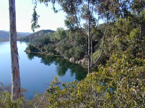
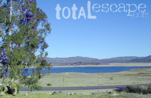
San Diego county has numerous recreational lakes, but only a few that allow overnight camping. Oak filled valleys and pine forests are nearby, but if you are seeking alpine lakes, surrounded by granite peaks and towering forests – then look to north for the Sierra Nevada mountains. Southern California landscape is nearly a desert terrain, with seasonal creeks and minimal rivers, so you won’t find lush greenery with natural lakes down here.

lakes San Diego

cleveland National Forest map