Tag Archives: lee vining

Eastern Sierra Lakes

Camping Lakes – Campground Lakes
Lake Eastern Sierra California

There is not enough room on this web site to list every single alpine lake in the majestic Eastern Sierra range, since there are hundreds, but we highlight a few of the hike-in accessible ones & the more popular camping lakes below.

DSCN0100

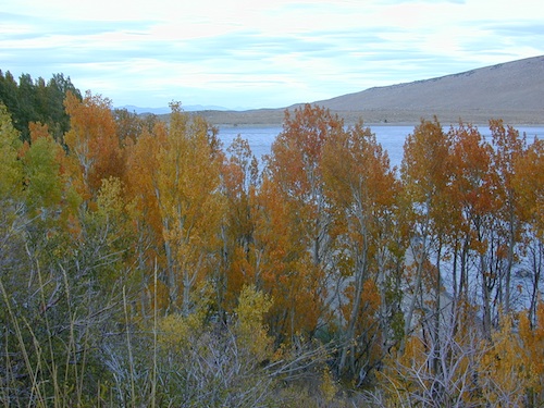
June Lake Loop is a paved, scenic drive highway that has multiple lakes with cabin rentals, camping, fishing, boat rentals. One of the best places to spend autumn looking for fall colors among the aspens.

DanaMite also knows a picture is worth 1000 words, so just click links for photos & enjoy!!!
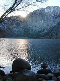
convict lake Eastern SierraLone Pine Lakes include –

  • Diaz Lake (on US Hwy 395)
  • Cottonwood Lakes camping (hike in)
  • Lone Pine Lake (hike in)

Onion Valley camping
@ Independence, CA
Kearsarge Lakes include –

(all are hike-in lakes)


mountains

Bishop Lakes include – (Hwy 168)

ROCK CREEK CANYON
US 395

Paved road dead ends at over 9000′ elevation
Wilderness Access w/ Trailheads & Parking
NFS Campgrounds
Remote Cabin Resorts

hiker

LAKE CROWLEY CA

CONVICT LAKE CA

Mammoth Lakes include – (Hwy 203)

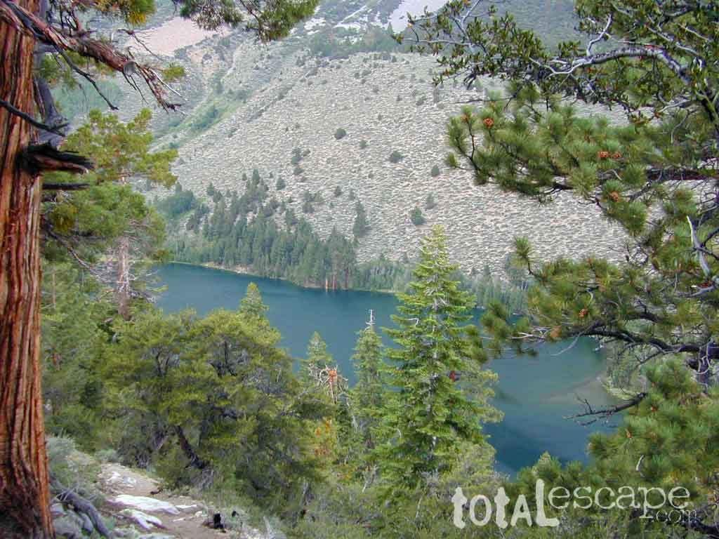
Walker Lake @ June Lake Loop
Walker Lake @ June Lake CA

June Lake Loop includes – (Hwy 158)

MONO LAKE CA

US 395 @ LEE VINING, CA
Yosemite NP [EAST ENTRANCE]
Tioga Pass Lakes include –
(Hwy 120)

califrepublic

LUNDY LAKE CA

Bridgeport, CA

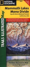
NatGeo Mammoth MapEastern Sierra topographic trail maps to lakes

Mono Maloy

Grant Lake California

grantlakefall

Grant Lake, California

elevation: 7,136′
surface acres: 1000

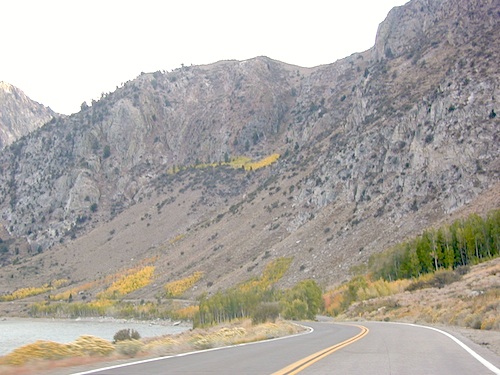
Grant Lake is the largest of the lakes on the famous June Lake Loop, the far north end (top) of Hwy 158. Eastern Sierra

Often windy, barren hills surround much of the lake; Good fishing and easy access all the way around lake. High desert, with big open skies and great views. Public boat ramps (dirt).

Graded Dirt Road #1S29 skirts the north end of this lake. Dirt Road #1S30 wraps around the back (east) side, while the paved highway skirts the western shoreline.

Grant Lake Marina
760-648-7964

Full service marina, fishing boat rentals, boat launch ramp, gasoline & a market.
Grant Lake Marina Campground w/ 70 camp sites. Usually open from late April through mid October.

AUTUMN COLOR: Some pockets of aspen near this lake, but most aspen groves are deeper on the loop.

curveatlake

Picnic areas, hiking, back roads.
Views of Mono Lake.

Near north end of Grant, a Gravel Road #1N17 leads north from Hwy 158, thru BLM lands. Several short canyons w/ lakes and creeks; fishing, picnic spots, numerous hiking trailheads, some primitive campsites.

Silver Lake is next door.

nearby towns:

June Lake, CA
Lee Vining, CA

junelakeloop
Back of June Lake Loop


area maps:
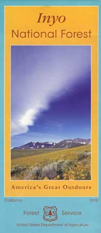
Inyo National Forest USDA
Ansel Adams Wilderness Maps
Mammoth Lakes Map by NatGeo

1N17 – Inyo NF

1N17

Road #1N17 – Inyo National Forest

Highway 158 @ Grant Lake, North June Lake Loop

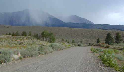
Forest Road 1N17 is a major graded dirt road that connects June Lake Loop to the Lee Vining junction, the back way. West side of US 395; south of Hwy 120.

At north end of Grant Lake, slow down and look for the signed intersection. Sage brush hills and big drainage, with towering granite peaks above.

This well-traveled, wide dirt road leads along the base of the mountain range on BLM land, skirting the National Forest. Several side routes head up into numerous canyons, which are part of Inyo NF. Suitable for SUV, passenger cars, camper van and small RVs. Easy access off US Highway 395 and June Lake Loop #1S63

side routes off #1N17 –

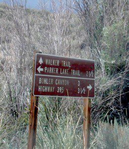
Parker Lakes Road #1S25A
Sawmill Canyon #1S24
Bloody Canyon #1S23
Walker Lake Trailhead
Bohler Canyon #1S19
Gibbs Trailhead #1S106

walkertrail

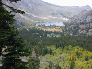
Several hike-in only lakes, creek camping, some seclusion. Great picnic areas, trail head access, short or long hikes. National Forest lands. Backpacking, day hiking and primitive camps, some deep in the aspens. Autumn here can be gorgeous, and these are all prime summer time camp sites, for free. Make sure to get your campfire permit ahead of time, at ranger station in Mammoth. Wilderness permits may also be required for overnight camping in this canyon, so check with the NFS rangers on that issue.

towns nearby:
June Lake, CA
Lee Vining, CA
Mammoth Lakes, CA
Mono Lake, CA

Ansel Adams Wilderness
Inyo National Forest

Certain areas back here can be muddy in springtime, other major routes can even be over whelmed with water when creeks swell. Summer thunderstorms are common. One lane bridges should always be driven with caution, especially on dirt roads. Always be extra slow when driving thru water at creek crossings.

area maps:
Inyo National Forest USDA
Ansel Adams Wilderness Maps
Mammoth Lakes Map by NatGeo

summerstorm

Mono Lake California

The Great Basin meets California, at the Eastern Sierra Nevada Mountains

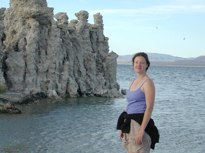
Navy Beach, Mono Lake

Mono Lake


elevation: 6383′
Eastern California
US Hwy 395 @ CA SR 120

East of Yosemite NP
Lee Vining, CA

Mono Lake

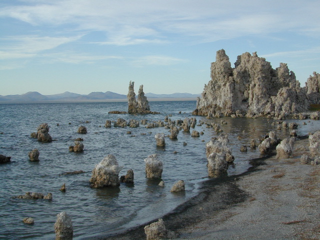
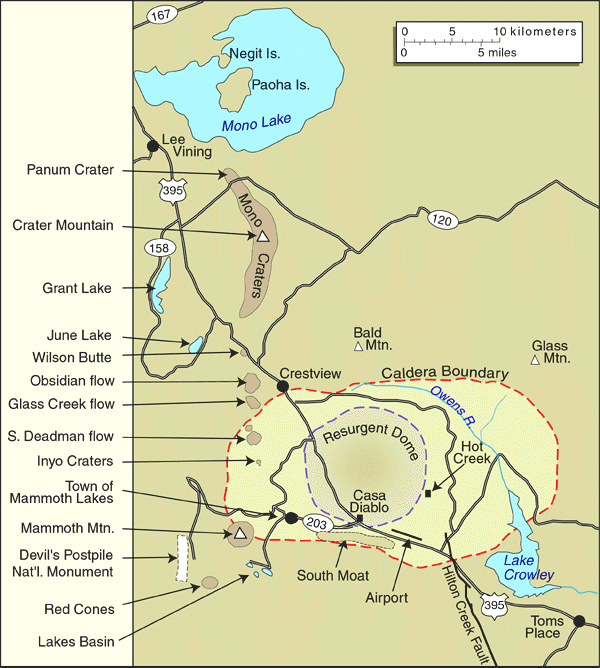
Rumor has it this lake basin could be the ancient super volcano of the region. MonoLake is located on the north end of the Long Valley Caldera, a volcanic ridge which stretches down to Bishop and parallels Mammoth Mountain & US 395.

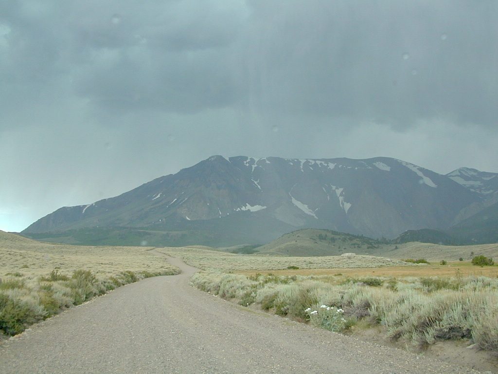
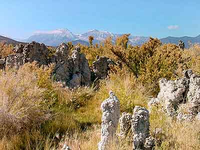
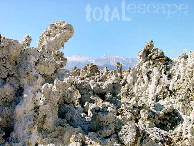
Huge shallow lake with a very turbulent history. Signs and plaques throughout the lake shore give info on ancient history of the lake, the wildlife, and regional detail. Majestic views of the Sierra Mountains, with sparse vegetation, lunar type landscape. Eerie with storm clouds; Beware of bad weather. Kayakers love this lake too!

Sierra Nevada backdrop

Canoeing
Hiking
Hot Springs
Kayaking
Picnic
Primitive Hot Springs
Stargazing
Volcanic Landscape

Mono Lake Camping

Camping is closeby, but not located on the fragile lakeshore.
open camping
Dispersed camping (FREE) is allowed in Mono Basin National Forest Scenic Area, the region that surrounds the Tufa State Natural Reserve. Campfire permits are required. Contact the park listed below for all the details on the camping policy.

campgrounds
Camps include National Forest Campgrounds in Lee Vining Canyon (8 miles), June Lake Loop (15 mi), Lundy Lake (12 mi). Private RV parks can be found in nearby Lee Vining and further south, at Lake Crowley.

[PDF download]
Camping In The Mono Basin
by LeeVining.com

Inyo National Forest USDA
Camping Mono Lake Ranger District

local links:

Mono Lake Tufa State Natural Reserve
California State Park
760-647-6331

Mono County Tourism
MonoCounty.org

760-924-3699

Mono Lake Committee
MonoLake.org

Bookstore @ 3rd, Lee Vining
760-647-6595

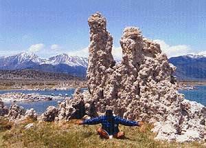
Tufa Towers

nearby interests:

Yosemite National Park
Inyo National Forest
Toiyabe National Forest
Benton Hot Springs
Bodie Ghost Town
Convict Lake
Mono Craters – Panum Crater & Crater Mountain
Long Valley Caldera
Lundy Lake
California Aspen Groves
Autumn Colors Camping

Long Valley Craters Mono Lake
Long Valley Caldera Craters near Mono Lake

regional maps:

Tom Harrison Mono Lake Map

NatGeo Mammoth Lakes & Mono Map

Inyo National Forest USDA Map

Ansel Adams Wilderness Maps

nearby towns w/ lodging:

Benton Hot Springs
Bridgeport, CA
Lee Vining, CA
June Lake, CA
Mammoth Lakes, CA


View Larger Map

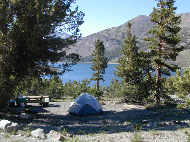
Saddlebag Lake Campground

Saddlebag Lake, Yosemite East Side

Inyo National Forest @ Tioga Pass, Hwy 120

Yosemite High Elevation Campground

Yosemite Lake View Camp Sites

Tioga Pass camping on the eastern side of Yosemite National Park, just outside park boundaries is Inyo National Forest lands. Snow is usually epic up here and some of the deepest on the range of light.

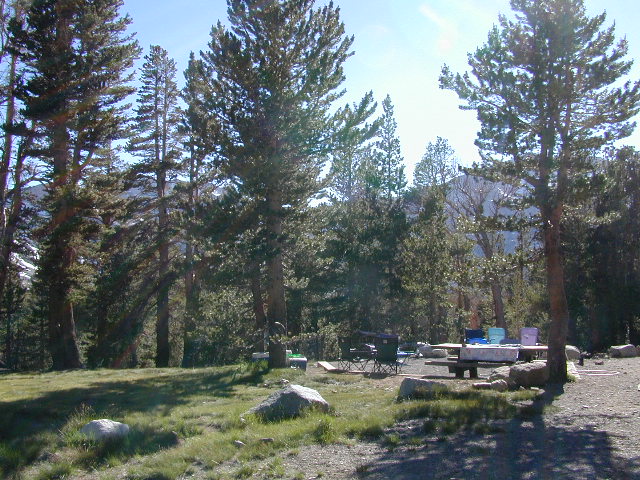
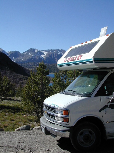
Several prime campgrounds line this popular Sierra pass, highway 120. Most camps are located along the busy highway just outside the National Park gate. Behold, this prime choice destination is a few miles back off the highway, at the end of a graded dirt road. Smaller RVs okay.

Saddle Bag Lake

High altitude, tree line, thin air, snow melt everywhere, spectacular elevations and dark skies make this an awesome stargazing spot. Summer is busy with trailers, boat rentals, horses and day hikers. Locals and fishermen use this small campground often, so tourists should feel lucky to find such a rare camp here. First come, First serve, when it is open (only half the year).

Elevation: 10,000′
Number of Sites: 19
Camping Reservations: No
Sites Available: First come, First serve
Vehicle Accessibility: Vehicle limit 22 ft. max.
Length of Stay: 14 Days
Water: Piped; lake, creek nearby
Toilet: Vault
Season: Closed during winter & spring
Fee: Yes
Operated By: National Forest Service
Closest Town: Lee Vining, CA

Inyo National Forest
Bishop Ranger Station
760-873-2400

RV Camper Lake