Grover Hot Springs Park
JULY 2021 State Park CLOSED due to the wildfire, Tamarack Fire.
California State Park
Sierra Hot Spring Camping Resort
open all year


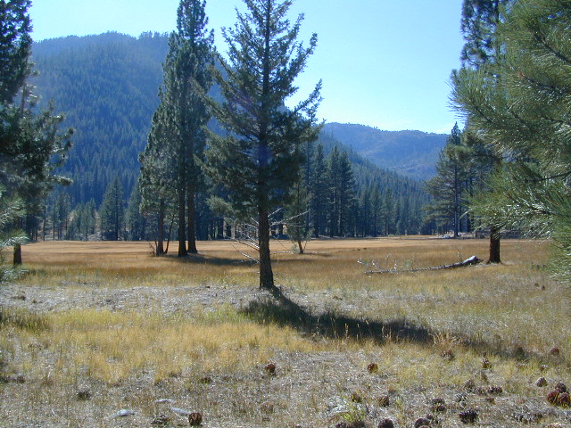
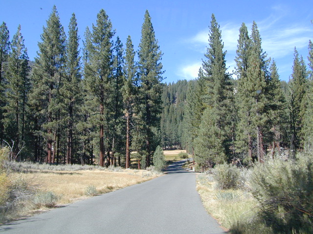
South of Lake Tahoe, hidden in a forest meadow near the small town of Markleeville, sits this super scenic, year-round camping resort in the Sierra Nevada mountains. Popular place for senior travelers, RV campers, families, snow skiers, and tourists.
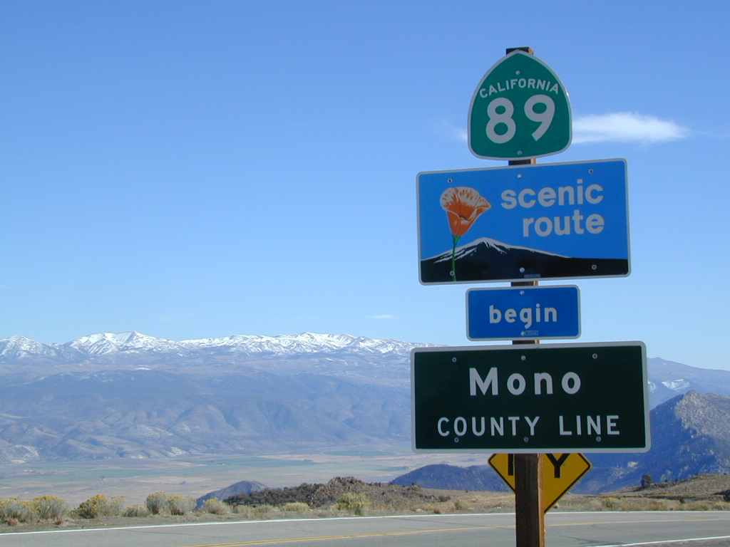
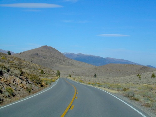
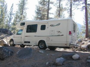
No lodging available, no cabins. Only Campground Camping – Reservations are recommended. This is a popular destination for the Eastern Sierra Tahoe region. May thru September are peak season. During mid-winter a portion of the campsites are closed and the remainder may be on a first come, first serve basis. State Park is located 4 miles west of Markleeville, at the end of Hot Springs Road.
camping
fishing
hiking
hot springs
cross country skiing
stargazing
grover springs in the sierra
Camping and Day Use
530-694-2248
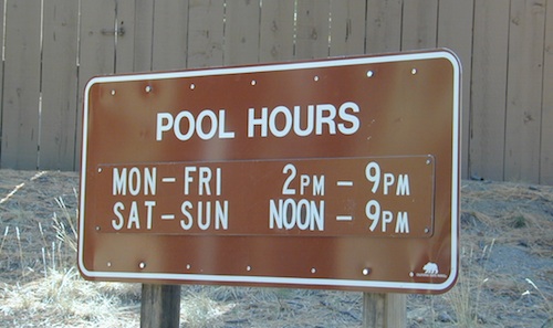
Pool Information
530-694-2249
California State Park
Piped water, flush toilets, showers, this is luxury camping by State Park standards. Hiking, fishing, stargazing. Quite an ideal spot, especially if you visit during a slow time. Surrounded by mountains that top 10,000′ elevation, expect to see some snow in the winter months.
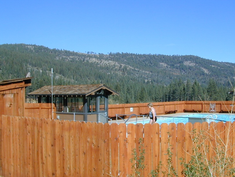
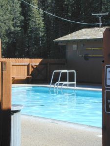
The hot pool resort is open to the public for day soaking w/ a fee. Wheelchair accessible areas. The pool hours tend to fluctuate with the seasons, so be prepared for anything. Even a snow storm!
Grover Hot Spring Campground
• Elevation: 5800′
• Number of Sites: 75
• Vehicle Access: RV 27′ max
• Campsites Reservation: Yes
• Camp Fee: Yes
• Length of Stay: 10 Days
• Season: Open all year
• Trailheads: Carson River
GROVER HOT SPRINGS SP