“It was sport to have a gale in such weather as this. Yet it blew like a hurricane. The wind seemed to come with a spite, an edge to it, which threatened to scrape us off the yards. The mere force of the wind was greater than I had ever seen before.”
– Richard Henry Dana, Jr.
Two Years Before the Mast (1843)

In the early days of California cargo shipping, the sailers referred to the wild winds as “south-easterlies”. So strong and unpredictable in fact, that they often had to cut anchor and drift far out to sea – to wait out the wind event.
offshore winds
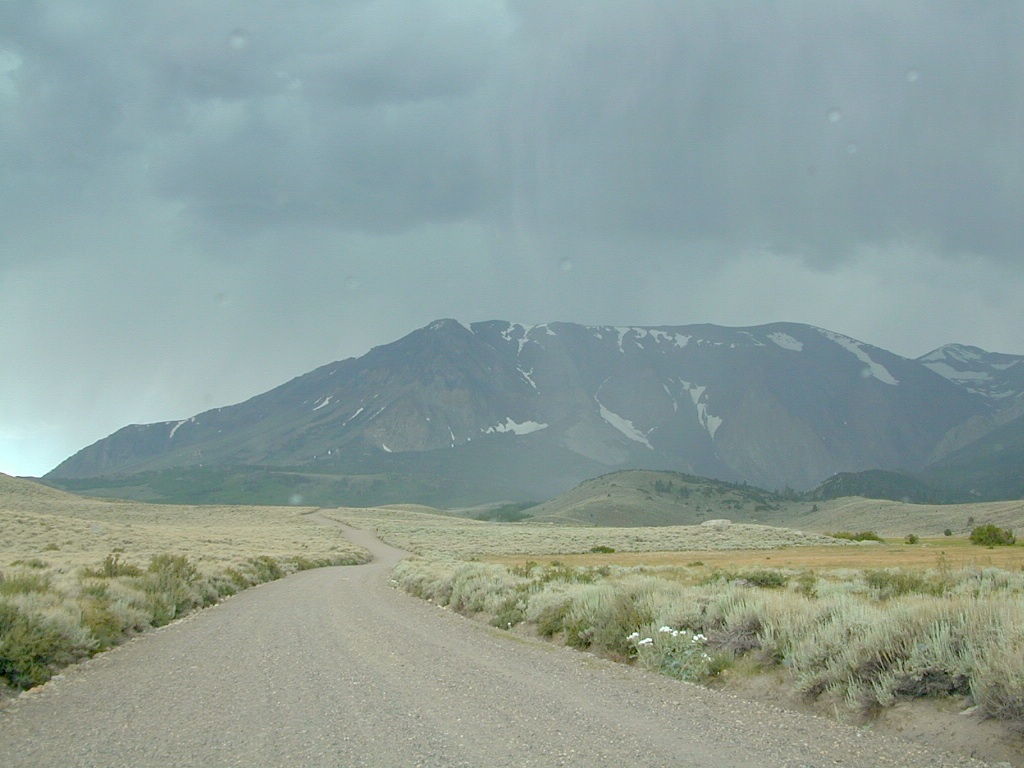
Various nicknames have been given to the easterly winds in California. They develop from a high or low pressure system that builds in the Great Basin, pushing winds from the desert towards the west, over the Sierra mountains and into California.
Wind events can last for days, but usually not a full week.
-
Santa Ana Winds
-
Southeasters
-
Sundowners
-
Mono Winds
-
Diablo Winds
-
Indian Summer
-
Northeasters
-
North-easterlies

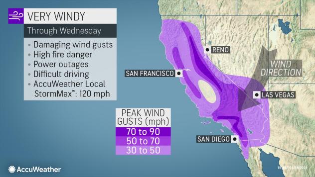
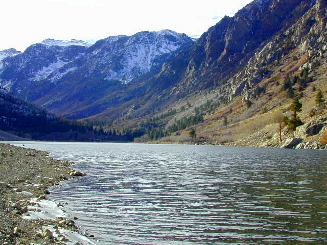
Wind gusts measuring over 100 mph typically recorded in Sierra passes

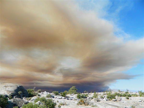
RED FLAG – Weather forecasters announce “Red Flag Warnings” when predicting, banning all outdoor burning and all use of campfires. Humidity levels drop into single digits or teens, and created extremely critical wildfire conditions. Utility companies are now preemptively cutting electric power to millions of customers across the state to reduce the risk of fires (sparking from power poles). Extreme fire weather can last for months, usually in the last half of the year. December rains usually put an end to the wildfire dangers, but the wind events can last all winter long.
140 mph gust recorded as incredible winds rake California
Oct 2020
high wind advisory
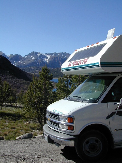
This is a term often used for travel. High profile vehicles can literally tip over (while driving) in strong winds. Aircraft can be grounded and unable to fly, during such events. Helicopters generally do not fly during strong winds. Boats at harbor may need to be secured.
Electronic Freeway signs can display messages about high winds. These type of vehicle should heed the warnings.
- big rigs
- camper vans
- 5th wheel travel trailers
- motorhomes
- moving trucks / rentals
- RVs (recreational vehicles)
- trailers in tow
- truck campers
- u-haul trucks

California places that experience top wind speeds –
- Adin, CA
- Altamont Pass, East Bay SF
- Alturas, CA
- Bieber, CA
- Bucks Lake
- Cajon Pass I-15
- Canby, CA
- Chino Hills, CA
- Corning, CA
- Davis Creek, Modoc Co
- Donner Pass I-80 @ Norden
- Dorris, CA
- Elk Creek, CA
- Gazelle, CA
- Geysers, Sonoma County
- Gualala, CA
- Hornbrook, CA
- Huntington Beach Pier
- Jarbo Gap @ Hwy 70
- Kelseyville, CA
- Kennedy Meadows
- Kirkwood Meadows
- Laguna Beach, CA
- Ski Resorts at Lake Tahoe
- Likely, CA
- Marin County
- Montague, CA
- Mount Diablo, East Bay SF
- Mount Hebron
- Mt. Saint Helena
- Ocotillo, @ I-8
- Paskenta
- Redding, CA
- Ridgecrest, CA
- San Clemente, CA
- San Fernando Valley
- San Francisco, CA
- San Gabriel Mountains
- San Gorgonio Pass, W of Palm Springs
- Santa Clarita, CA
- Silverwood Lake
- Tehachapi @ Hwy 58
- Tejon Pass I-5 @ Lebec
- Yreka, CA
hint.fm/wind
wind.willyweather.com/ca.html


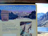
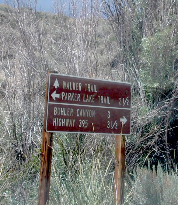
 Lakes Canyon Trailhead