CA motorcycle roads
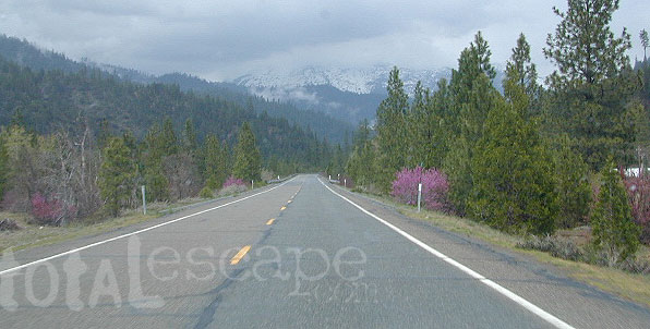
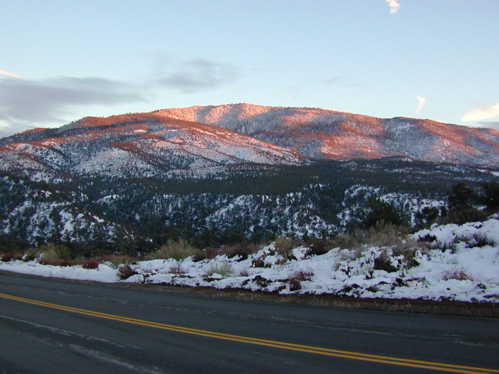
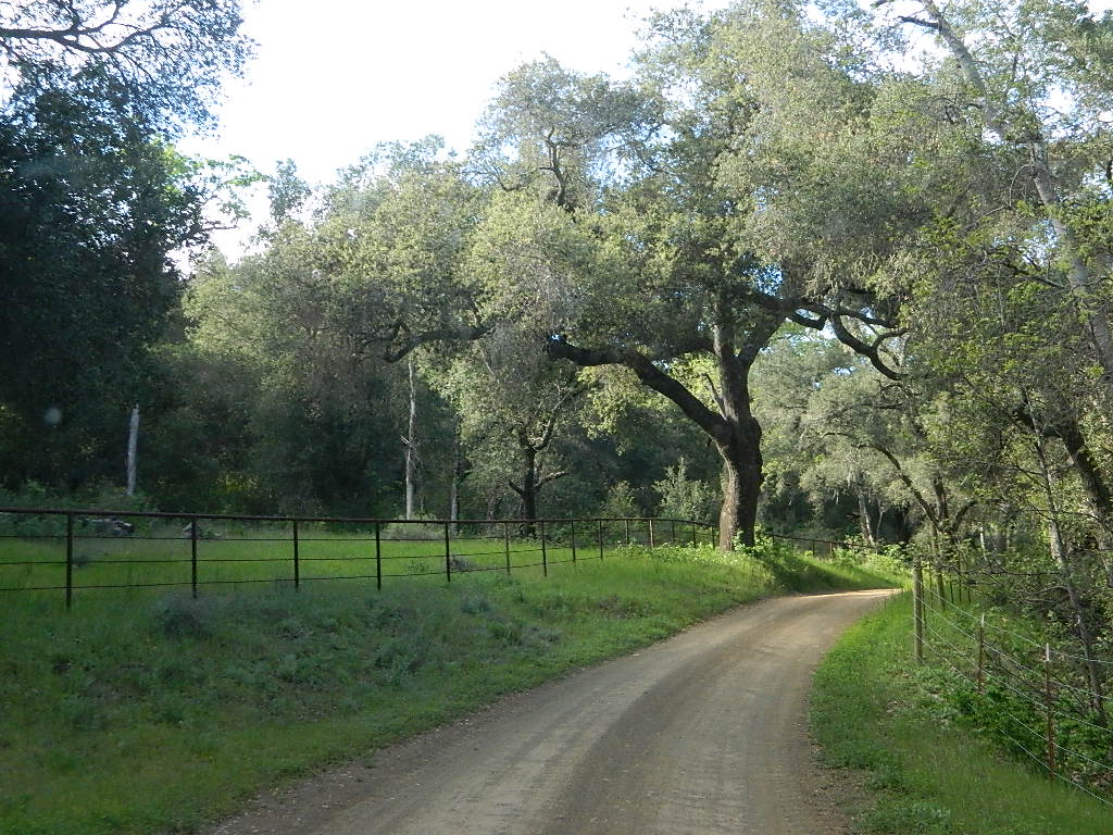
These are the roads that drivers love. More room to roam, more space, more pavement, more scenery to love and less people, less drivers and less distractions. California has endless roadways that wind through every part of the entire state. If you enjoy real driving in California, you like the curvy roads & scenery. Total Escape has dedicated numerous hours to the collection of back roads in California. Some paved, some not.

CALIFORNIA driving WAYS & ROADS
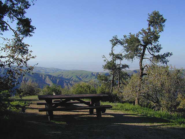
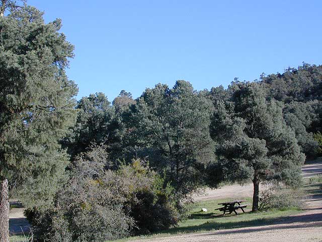
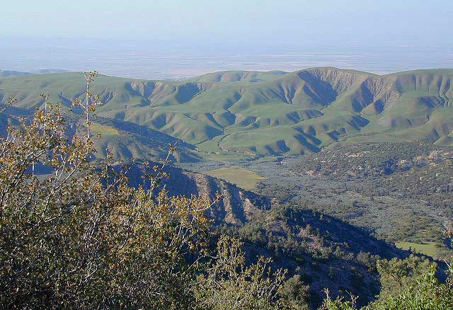
- Mil Potrero Highway (Pine Mountain CA)
- Cerro Noroeste Road (Pine Mountain CA)
- Sunrise Highway (S-1 @ Mount Laguna)
- Great Overland Stagecoach Route (S-2, upper Anza Borrego Desert)
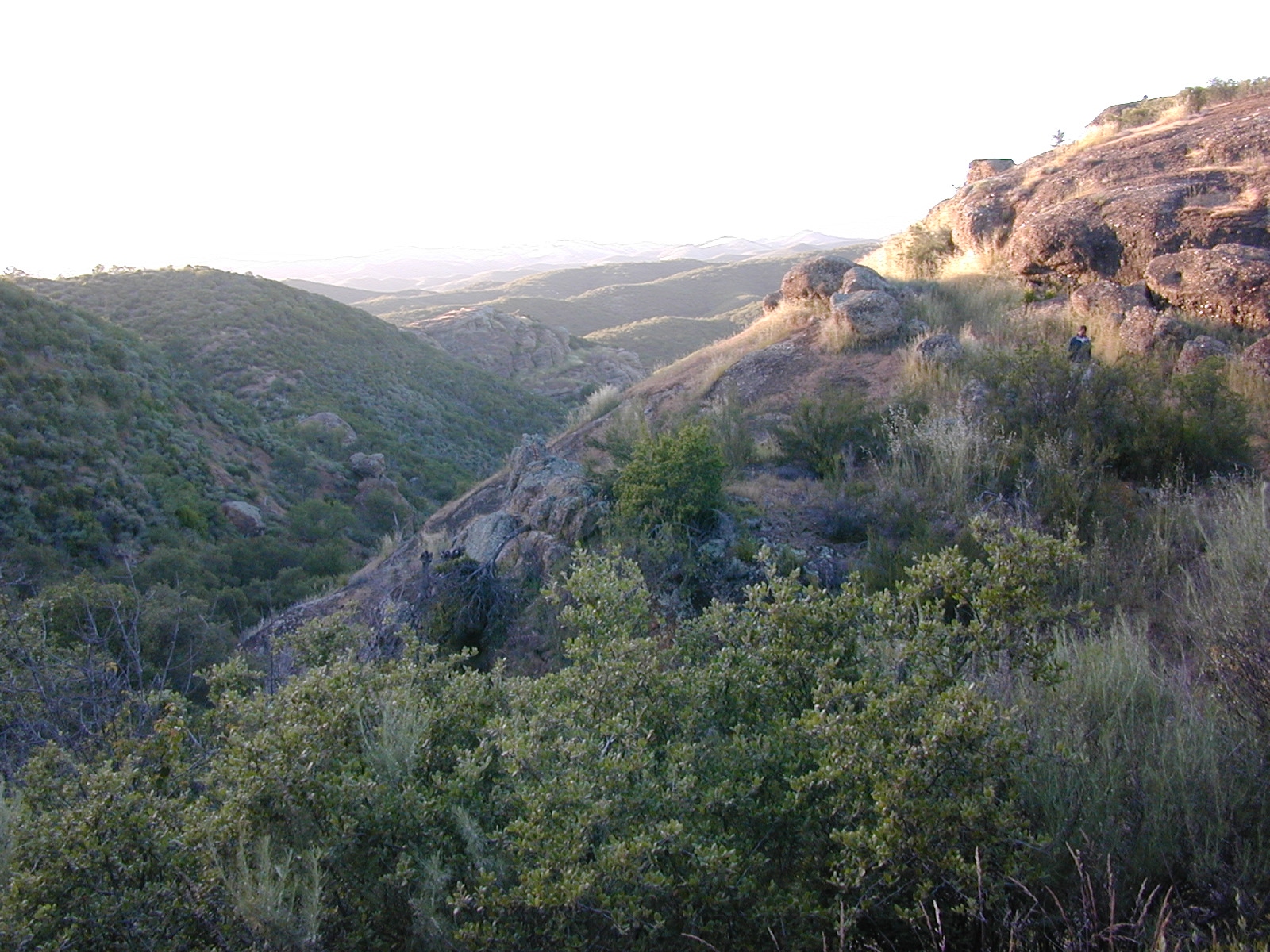
- Topanga Canyon (Malibu CA)
- Big Tujunga Canyon Road (Sunland CA)
- Angeles Forest Highway (Palmdale CA)
- Bouquet Canyon Road (Palmdale CA)
- Sherman’s Pass Road (Kernville, closed in winter)
- Western Divide Highway (Ponderosa, closed in winter)
- La Porte Road, Northern Sierra
- Oro-Quincy Highway (closed until 2019)
CALIFORNIA SCENIC HIGHWAYS & MAIN ROADS
- Highway 108 – Sonora Pass (closed in winter)
- Highway 120 – Yosemite Tioga Pass (closed in winter)
- Highway 166 – Central Coast to Central Valley
- Highway 172 – South of Lassen NP (closed in winter)
- Highway 178 – Kern Canyon Lake Isabella
- Highway 190 – Death Valley National Park
- Highway 198 – Sequoia to Three Rivers
- Highway 2 – Angeles Crest Highway
- Highway 3 – Trinity River
- Highway 33 – Ojai & Los Padres
- Highway 4 – Ebbetts Pass (closed in winter)
- Highway 49 – Gold Country
- Highway 50 – Sierra Nevada Tahoe
- Highway 6 – Benton Hot Springs to Bishop
- Highway 78 – Oceanside to Anza Borrego
- Highway 88 – Carson Pass
- Highway 89 – Tahoe to Lassen
- Highway 9 – Santa Cruz Redwoods

MAPS, PARKS & LINKS
- Dirt Bike & OHV Parks
- CA National Parks
- National Forests California
- National Forest Maps
- Baja Maps
- Room to Roam
see also
- Motorcycle California
- California Back Roads (mostly dirt)