
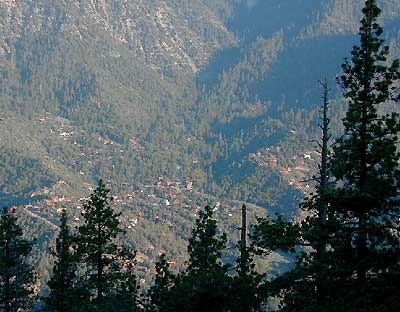
Hiking Trails Los Angeles
another two bite the dust
localhikes.com – GONE
latrails.com – GONE
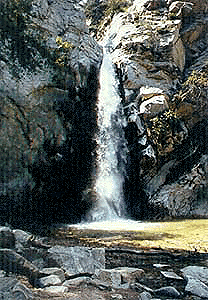
Millard Falls
2 mi RT; 1200′ elevation; oaks.
Arroyo Seco District –
of Angeles National Forest
818-790-1151
Altadena CA
From Interstate 210 in San Gabriel Valley, exit Lake Ave., go N & turn left/west onto Loma Alta Dr. & to Chaney Trail & follow signed dirt road
Sturtevant Falls
5 mi RT; 4600′ elevation; oaks, creek-crossings.
Santa Anita District –
of Angeles National Forest
818-899-1900
inside Big Santa Anita Canyon
From Interstate 210 in San Gabriel Valley, exit Santa Anita Ave.Go North/East, through neighborhood & up mountain to paved parking lot.
More hikes on Angeles Forest
- Big Tujunga Wash
- Circle X Ranch
- Mendenhall Ridge
- Mount Lukens
- Newhall Pass
- Strawberry Peak
- Towsley Canyon
- Verdugo Mountains
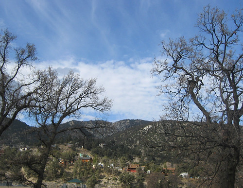
Angeles Forest – Los Angeles California
nearby towns –
- WRIGHTWOOD CA
- LA CANADA CA
- PASADENA CA
- ALTADENA CA
- PALMDALE CA
- GORMAN CA
Angeles Maps – hiking, OHV & mountain biking –
- ANGELES National Forest Map
- CUCAMONGA Wilderness Map
- ANGELES HIGH COUNTRY (Tom Harrison)
- ANGELES FRONT COUNTRY (Tom Harrison)
- MOUNT WILSON Map (Tom Harrison)
- MOUNT BALDY Map (Tom Harrison)
- PCT MAP #2 (SOCAL)


 Directions:


