Central Coast California
Backpacking Big Sur
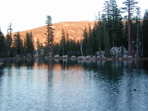
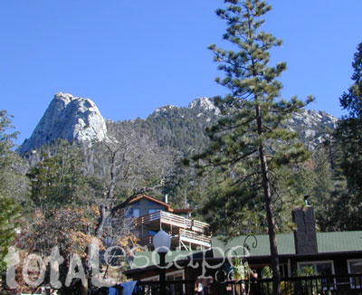
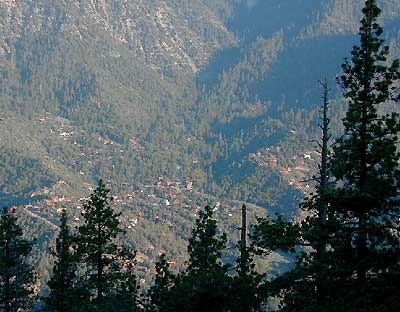
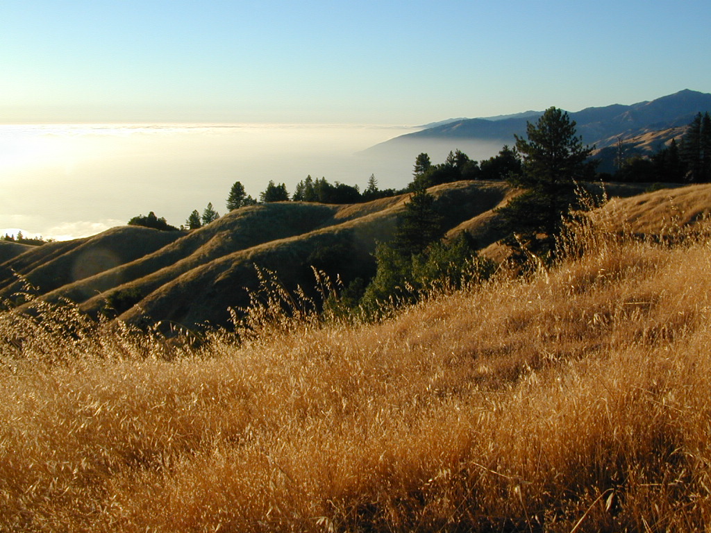
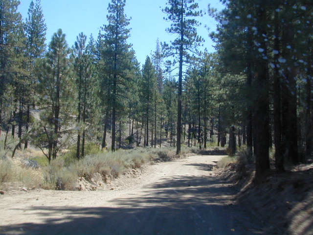
Ventana Wilderness is a 40 mile stretch of protected land located in the Santa Lucia Mountains on the Big Sur coastline in between the Monterey peninsula and the Nacimeinto-Fergusson Road #4004. Fort Hunter Liggett lies to the east side and the Pacific Ocean to the west. Ancient volcano peaks called “cones” line the pine ridges – Ventana Cone, Ventana Double Cone, South Ventana Cone, Black Cone & Cone Peak.
240,026 acres
Cone Peak – 5155′ elevation
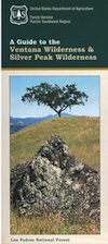
Los Padres National Forest
San Antoni River
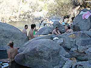
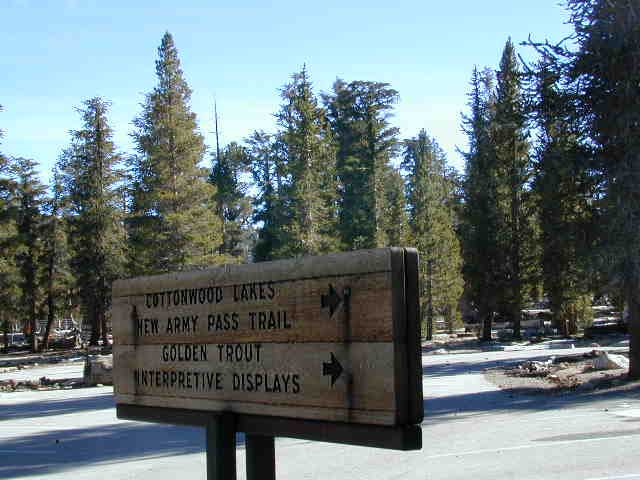
Sykes Hot Springs
Tassajara Creek
Tassajara Hot Springs
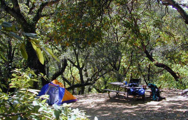
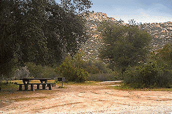
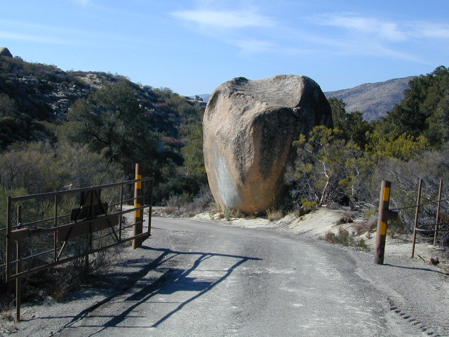
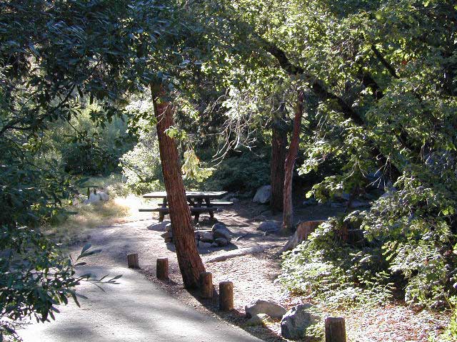
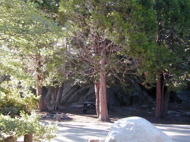
campgrounds bordering area –
- Cone Peak Primitive Camp (Nacimeinto Rd)
- Ponderosa Campground (Nacimeinto Rd)
- Nacimeinto Creek Campground
- Prewitt Ridge Primitive Camping
- Escondido Campground (Milpitas Rd #4050)
- Arroyo Seco Campground (Road #G16)
- Wildcat Campground (Tassajara Canyon Rd)
- China Camp Campground (Tassajara Canyon Rd)
- White Oaks Campground (Tassajara Canyon Rd)
- Kirk Creek Campground (Hwy 1 @ Nacimeinto Rd)
- Bottchers Gap Campground (Palo Colorado Rd)
- Limekiln Creek State Park (Hwy 1 @ Nacimeinto Rd)
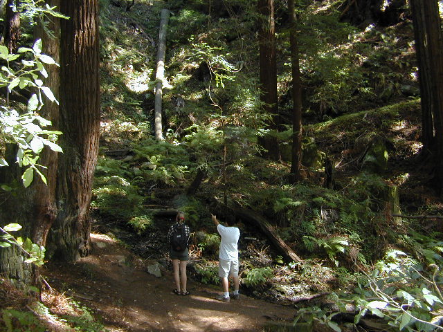
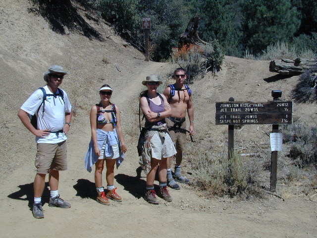
hiking trailheads –
- Cone Peak
- Escondido
- China Camp
- Arroyo Seco
- Bottchers Gap
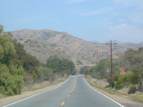
nearby towns –
Central Coast Big Sur Maps
NatGeo Big Sur Topographic Map
Pinnacles National Monument Map
Smaller Silver Peak Wilderness (31,555 acres) is also featured on the same map, situated south of Ventana and north of the San Simeon Hearst Castle area.


 Mokelumne Map