Tag Archives: mts

Los Angeles Mountains

LA forest / Los Angeles Mountain / LA National Forest
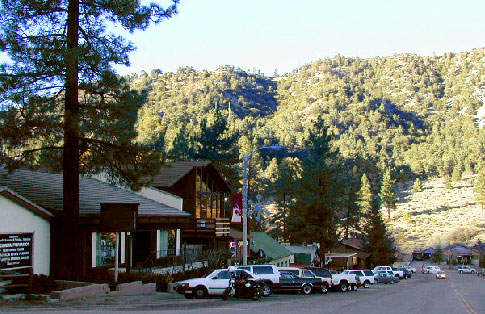
wrightwood

Los Angeles forest & parks –

San Bernardino National Forest
Angeles National Forest
Los Padres National Forest

Santa Monica Mountains NRA
Malibu Creek State Park
Verdugo Mountains Park
Mount San Jacinto State Park

+ numerous Wilderness Areas

Los Angeles Mountains
Maps & Hiking Trails –

Los Angeles mountain towns –
Big Bear, Angelus Oaks, Arrowhead, Forest Falls, Green Valley Lake, Idyllwild, Wrightwood
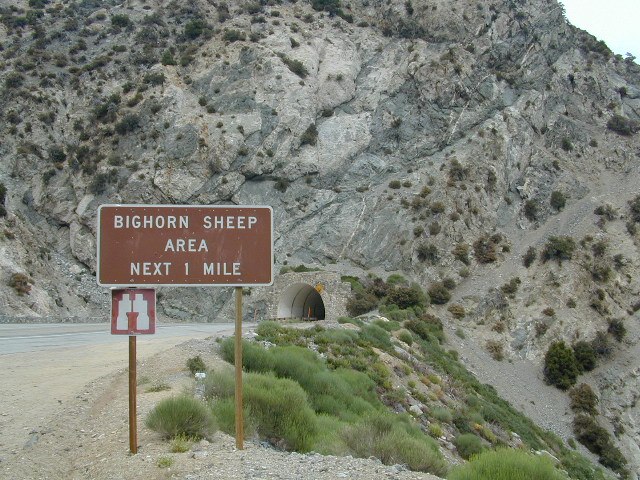
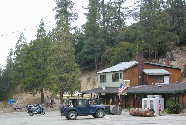
Tunnel thru Rock

Angeles Crest Highway
Angeles Crest Highway 2

Sierra Road Conditions

Sierra Nevada Road Conditions – Highway California

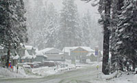
Snowy RoadsWinter Snow/ Winter Roads Sierra Nevada:

On rare occasions the Golden State freeway – Interstate 5 can be closed due to snow; N of Valencia on the Grapevine (near Lebec) or more likely up in NorCal (near Shasta).

Interstate 80 (aka Donner Pass) is often closed during big storms. Luckily there are hotels in Auburn or Truckee.

Highway conditions on mountain passes higher than 4000′ elevation can be unpredictable in winter months (Oct-May). It may be fine & just sprinkling @ 2000′, but a few miles up can be a white out. Ask anyone who’s ever driven the infamous Donner Pass in winter time. (more on Donner Party)

Annual Sierra Highway Closures

Ski mountains

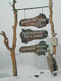
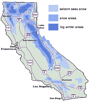
shaver lakeWhere does it Snow in California ?
Okay, okay ….so it’s nothing like those dreaded East Coast winters, but hey, some parts of California do get some serious snow. (see elevations) And the newbies who don’t prepare for it will be sorry. On the winter vacation travels, be prepared for almost anything, especially in the Sierra’s & Northern California.
Snowy towns in California

See California Weather & Road Conditions

California Winter: When does winter actually ‘set in’ for California?

Eastern Sierra CA: OCT- MAY
Western Sierra CA: NOV- APR
High Sierra CA: SEPT- MAY
North Coast CA: OCT- MAY
Northeast CA: OCT- APR

The following mountain roads are partially closed or totally closed during winter months. Please check road conditions before you leave for your trip. Chains may be required in most mountain areas of California.

CALTRANS web site

Highway CA County Region Connecting Towns
Hwy 155 Kern Southern Sierra Alta SierraWofford Heights
Hwy 190 Tulare Western Divide Hwy Camp NelsonPonderosa CA
M 375 Tulare Sequoia NP Hammond – Mineral King
Hwy 180 Tulare Kings Canyon NP Hume Lake – Cedar Grove
Whitney Portal Rd Inyo Eastern Sierra Lone Pine – Mount Whitney
Onion Valley Road Inyo Eastern Sierra Independence – Onion Valley
Glacier Lodge Rd Inyo Eastern Sierra Big Pine – Glacier Lodge
Lake Rd Hwy 168 Inyo Bishop Area Hwy 168 – South Lake
Hwy 120 Mariposa Yosemite NP Yosemite Lee Vining CA
Hwy 120 Mono Mono Lake Lee ViningBenton Hot Springs
Hwy 108 Mono Eastern Sierra DardenelleSonora Jct. Hwy.395
Hwy 89 Alpine Eastern Sierra MarkleevilleLake Topaz
Hwy 4 Alpine South Lake Tahoe Lake Alpine – Hwy 89
Hwy 44 Shasta Lassen Volcanic NP Manzanita Lake – Mineral CA