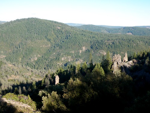
Gold Country Sierra Nevada
1849:
California Gold Rush began
These foothill regions below are the rivers & mountains of the infamous California Gold Rush of the mid-1800’s. Many mountain dirt roads will lead to your secluded, private camp site, near a creek or river. Or plan on camping in a developed Campground near a recreation lake lined with amenities, pine trees & oaks. River rafting & kayaking can be found throughout this area, as well as backpacking, mountain biking and hiking trails. Fishing is very popular as well.
Waterfalls, back roads, granite features, historic mining camps, big fishing rivers all abound. Wilderness backpacking in the High Sierra can be accessed by Hwy 108 (Sonora Pass) Hwy 4 (Ebbetts Pass) Hwy 88 (Carson Pass), Sierra US Route Hwy 50 & Interstate 80. Numerous small towns populate Historic Highway 49 for every tourists need – meals, laundry, grocery, coffee, lodging & shopping.
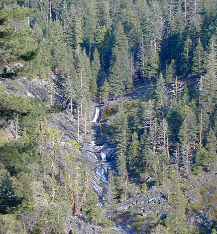
Gold Country California forest & parks –
Hwy 4 Ebbetts Pass & Hwy 108 Sonora Pass
Stanislaus National Forest
Columbia State Park
- Stanislaus National Forest Map
- Carson Iceberg Wilderness Map
- Emigrant Wilderness Map
- Emigrant Trail Map
Arnold, Columbia, Dardanelle, Jamestown, Long Barn, Mi-Wuk, Murphys, Pinecrest, Sonora, Strawberry, Twain Harte

Hwy 4 Ebbetts Pass & Hwy 88 Carson Pass, US Hwy 50
Amador City, Bear Valley, Georgetown, Jackson, Kirkwood, Meyers, Placerville

Interstate 80 Donner Pass
Alta, Colfax, Foresthill, Grass Valley, Norden, Sierraville, Soda Springs, Tahoe City, Tahoma, Truckee

North Hwy 49 Yuba River
Malakoff Diggins State Park

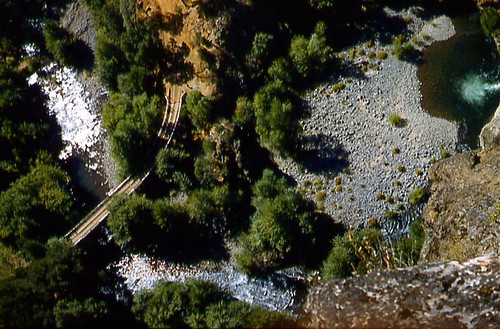
 Ishi Wilderness Map