Tag Archives: night skies

Hill Top Hot Springs

Hilltop Hot Springs

hill top hot springs

High Desert: Hill Top
primitive hot springs

May also be known as Pulky’s Pool in hot springs books.

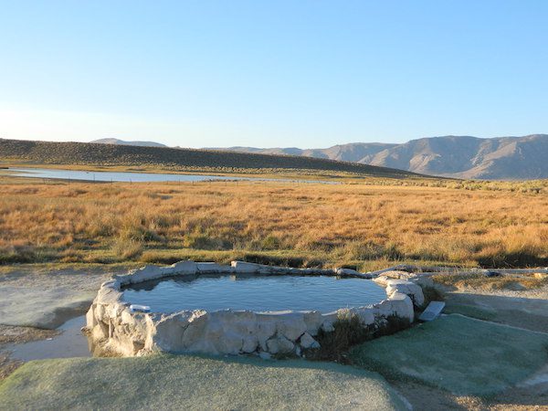
Hilltop is a new found favorite and one of the more scenic spots for a soaking tub in this region. Sitting out in the middle of a clearing, surrounded by marsh lands, this remote hot springs is a hike-in destination. No paved road, nor paved trail. The mountain and sky views from this tub are splendid, and if you time it perfect, you may have the place to yourself.

open all year
elevation:
6,900′

Located in the Long Valley Caldera, this area is managed by Bureau of Land Management

North of Bishop, CA
South of Mammoth Lakes, CA
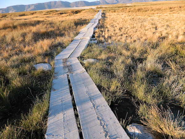
marsh walk

From US Highway 395 @  Benton Crossing Road – drive approximately 3 miles (passing dirt road Whitmore Tubs). Once you’ve crested a small hill, look for a gated dirt road on left, which leads a short ways, back through the sagebrush, to the parking area.

GPS coordinates: 37.6455, -118.8001 

The dirt parking lot is adequate enough to handle a dozen vehicles, and this place is so well known, that it gets a fair amount of traffic at any time of year.

Rumor has it that Hilltop is one of the most visited hot springs near Mammoth Mountain; probably due to the proximity to the paved road. Cars and trucks, camper vans and RVs will be coming and going at all hours of the day and night. So consider yourself warned!
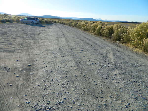
high desert lot

Gate and fence separate the parking from the trail, which leads a quarter mile (often over wooden plank boards) through alkali fields – out to the cement tub.

Only one, small makeshift bench next to the pool – and no tables, no seating, no facilities; Bring tarps, towels, ice chest and camp chairs (if you plan to stay a while).
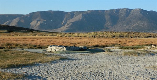
empty hot pool

Plastic PVC pipes and control valve adjust water flow and temperature. If the valve is left ON (wide open) overnight, the small tub will be too hot to soak in the following morning.

camp

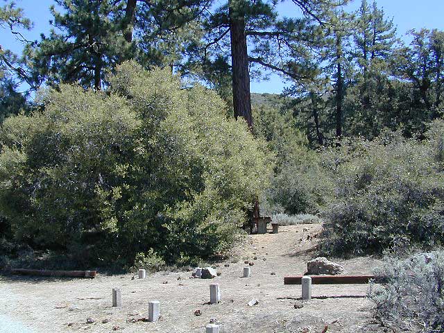
Camping options are pretty limited here. A small clearing for a tent, next to the parking lot; and one decent parking spot, large and private enough to call a camp site (at the dead end, past the parking).

The Eastern Sierra corridor of US Hwy 395 is far enough away that it cannot be heard from this spot.

BLM gate at the paved road entrance reads: road is closed seasonally – assuming you can walk in during snowy winter months.
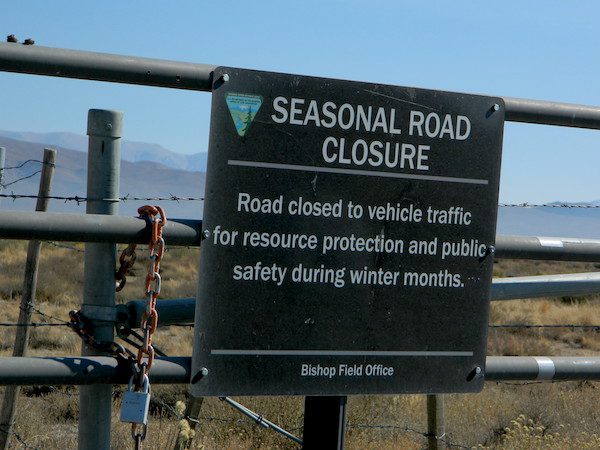
seasonal gate

Hilltop is one of several primitive hot springs in this immediate region. See Mammoth Hot Springs for more choices.
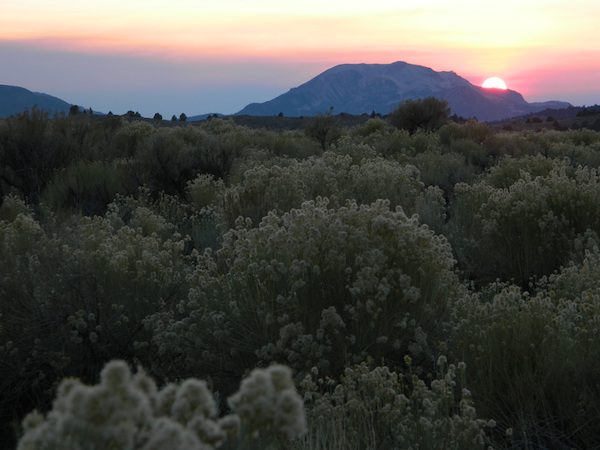
wildfire smoke 2020
Wildfire smoke in 2020 Creek Fire


Valle Vista Campground

Valle Vista camp

Los Padres National Forest; Valle Vista Campground

The place is gorgeous with wildflowers, after a good wet winter. Snow is possible at this location.

Way out on the edges of Cerro Noroeste, facing north. This paved route was recently renamed Hudson Ranch Rd. Access is at a wide spot / shoulder, on a curve. A steep drop on a dirt driveway. Large RVs and motorhomes should attempt this rutted, dirt hill only after walking it

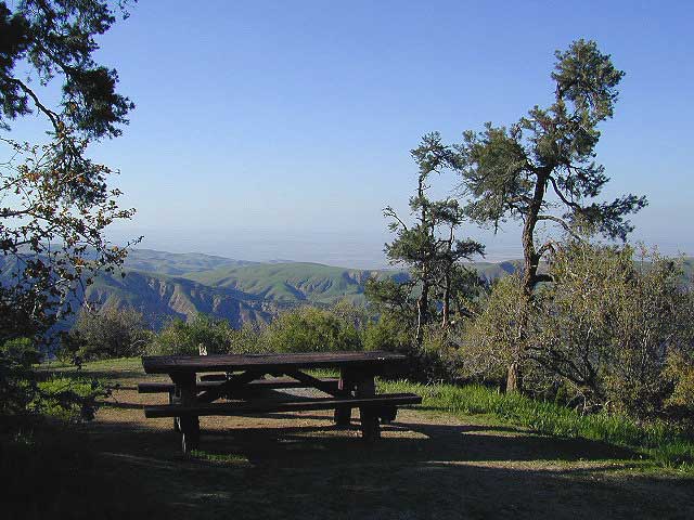
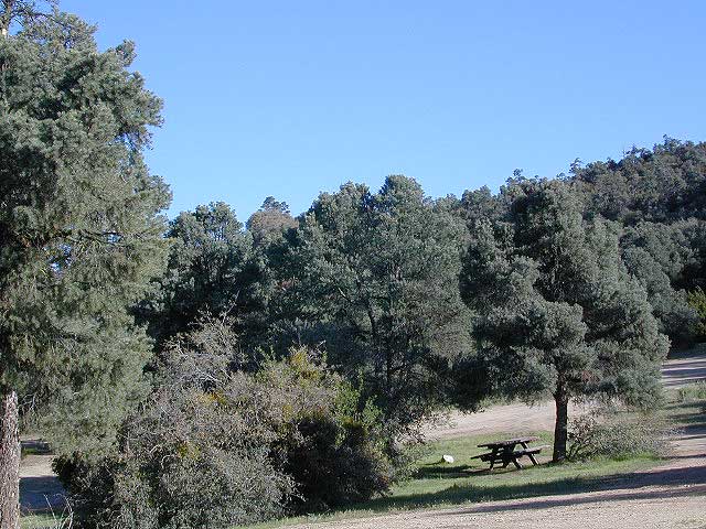
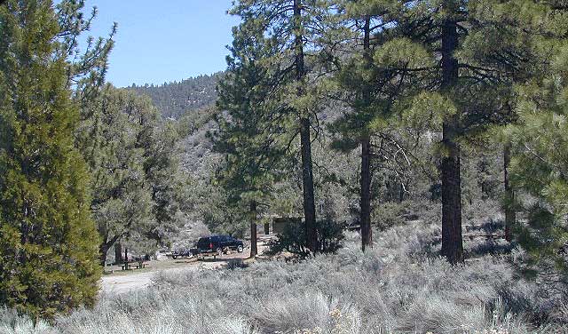
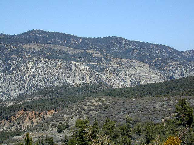
This wide-open space site is a small campground, in Los Padres National Forest –  with amazing views over the California Central Valley. Oak trees and pinyon pines. Windy days, Winter or Springtime is your best bet for a non-smoggy day.  The Sierra Nevada mountains range can be seen across the valley, 100+ miles away. On rare days, snow capped Mount Whitney can be seen from this location. New bathroom vault toilet built 2011.

  • dirt bike trails

  • earthquake fault

  • hiking

  • camping

  • dogs off leash

  • motorcycle road

  • night skies

  • sky views

  • stargazing

  • views

  • wildflowers

NFSlogo


slope
Best views on windy days. Fog and smog are common at this location.

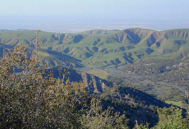
Springtime Green Hills
Springtime Green Hills, looking north to the Central Valley

wildflower

nearby towns:

Mount Able
Mount Able (Cerro Noroeste)

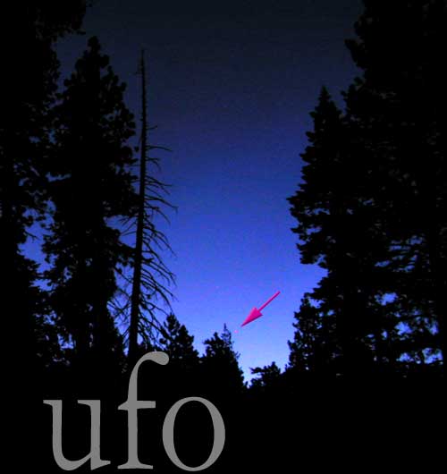
California UFO

California stargazing

Night Skies in California

Many, many a nights spent under the heavenly stars. Outside in the middle of nowhere, tent camping, with fresh air and very open views of the sky. If you’ve seen the night skies, you know how incredible they can be, especially in the High Sierra. Alpine late summers with minimal moisture in the air, where chilly night time is show time and day time is for napping in the hammock. Perhaps you stargaze out in the vast deserts in winter months, or only in summer near the coast. But how many people ever see an unidentified flying object?

Stargazing comes hand in hand with meteor showers, telescope camp outs, star parties, and yes, unidentified flying objects. Although, half of the reports are in day light. I’ve heard a few UFO stories in my day, but only one California dude who had a story about a New York U.F.O.

I dated a conspiracy/ufo guy in college, who turned me on to Art Bell (late night talk radio) who loved to discuss the more bizarre things in life.

I’ve driven near Area 51, but not camped. I have yet to see one UFO, nor a crop circle, but I am not a pilot either. After camping out 1000 nights, over 35+ years, you would think I would have encountered at least one by now. I’m kinda bummed. I would like to see one, if they do exist.

places known for unusual activity (in the night sky):

  • AREA 51  – Pahrump, NV
  • Lancaster & Mojave, CA
  • Anza Borrego Desert
  • Twenty Nine Palms, CA
  • Lompoc, CA

Chuchupate Campground

Lockwood Valley Campgrounds: Chuchupate

Los Padres National Forest, Mount Pinos Ranger District

chuchupate
Forested campground, paved access; Up behind the Lockwood ranger station
campground  elev.
spots
 veg toilet water comment
Chuchupate 6300′ 29 pines vault no open year round

open year round; campground reservations 805-434-1996

Chuchupate Views

Pinyon w/ jeffrey pines, a high desert feel to this mountain side ideal camp – where the Mojave desert merges with the coastal ranges in Lockwood. Up high near the Tejon Pass @ Gorman. Sage brush slopes w/ forested campground is approx. 6 mi. off Lockwood Valley Rd. via paved road #8N04 (also called, Frazier Mountain  Road).

Adequate for RVs, small creeks around this camp provide
decent vegetation. The sites on the outside back loop are best
for shade & seclusion. Good for a base camp for the weekend
& drive out to see the rest of Los Padres National Forest.
For the mtn. biker, this is a prime spot for hitting up the dirt
back roads on Frazier Mtn. Plenty of hiking and nice views
of the valley around too.

chuchu 21
Small campground w/ fee. On forested slopes of Frazier Mountain.

The easy to reach USFS campground can accommodate motorhomes, RVs, camper trailers up to 26 feet long. Paved access road is narrow and curvy and climbs the hill behind the large ranger station on Lockwood Valley Road.

Mt. Pinos Ranger District
34580 Lockwood Valley Rd
Frazier Park, CA
661-245-3731

  • backpack

  • camp

  • hike

  • horseback

  • mountain bike

  • off-road

  • picnic

  • stargaze

8N01
Paved road #8N04 FRAZIER MTN RD – starts @ Lockwood Valley ranger station

also nearby –

lockwood valley snow
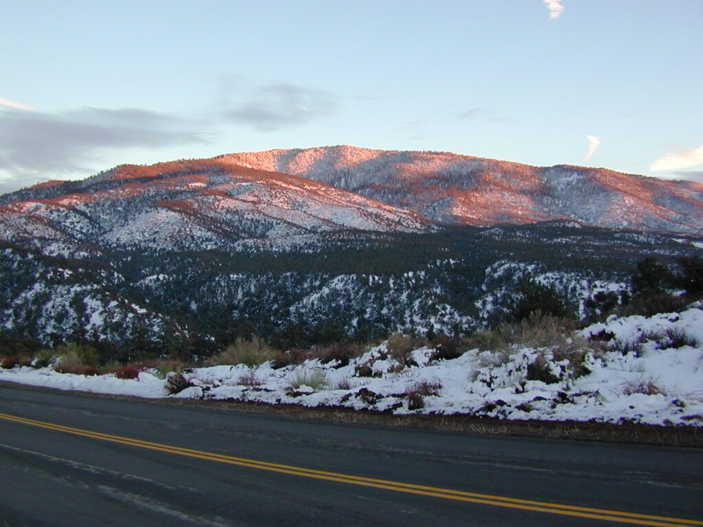
Attention fair weather campers: Snow is possible in this location from DEC-APRIL. Call head for local conditions and know weather forecast before you climb the I-5 (Grapevine).

California Fire Lookout

Dome Land from Bald Mtn, KERN
Bald Mountain (elev 9382′) Lookout in Sequoia National Forest

NFS Fire Lookout Towers

JULY 2019 – Many thanks goes to Pike County Lookout for initially spotting the #RockFire – in the Plumas National Forest, near Berry Creek, CA

Lookouts in the California National Forests

Ready to see far and wide – with wild terrain? Views for 100 miles out and the best scenery California has to offer. Be prepared to off road or hike to reach one of these destinations.

Below is a list of historic look out towers & cabins used for spotting wildfires. Some are located on steep granite peaks, ridge lines or dirt roads. 4WD may be recommended to reach some of these. Road conditions can change w/ harsh mountain weather, so be prepared to rough it. Thunderstorms are common on these mountain ridges.

Several of these places are cabins, some are stone houses, but most fire lookouts are basic metal towers – with high climbing staircases, so you must be in decent physical strength to haul your ass up this high.

rangers cabin mountains hikers vacation

Cabins are also called guard stations, huts, bunkhouses. Most are located on mountain tops, but a few exist in desert regions. Some are refurbished & available for overnight rentals. Bare bones furnishings, so forget the frills. People come up here for the thrills. To be outside w/ epic views, way away from the urban grind & to feel on top-of-the-world.

Coon Creek Cabin


NFSlogoSee the full list of overnight accommodations on mountain peaks & ridges, some near meadowsNational Forest Cabin Rentals

El Dorado National Forest USFS

Robbs Peak Lookout
Robb’s Hut / Robbs Cabin
6686′ elev near Placerville, Gold Country California

Cuyama Peak
Cuyama Lookout is a rough road up. Off Hwy 33, Los Padres NF

Los Padres National Forest

4x4Cuyama Peak Lookout Tower (pictured above) off Hwy 166 & via Santa Barbara Cyn, 4×4 recommended. Sorta near jct w/ Hwy 33

Big Bear Lake 2002
Big Bear Lake, Southern California

San Bernardino National Forest USFS

Butler Peak Fire Lookout
elev. 8537′ (no overnight stays)
located in between Green Valley Lake and Fawnskin

Morton Peak Fire Lookout
(no longer available for overnight stays 2019)

Strawberry Peak Fire Lookout
(no overnight stays)
above Rimforest, off Bear Springs Road, N of Hwy 18

Tahquitz Peak Fire Lookout
elev. 8846′ (no overnight stays)
highest lookout in the San Bernardino NF

hiker

Sequoia National Forest USFS

Bald Mountain Lookout (no overnight stays)
off of Sherman’s Pass Road #22S05, 4×4 may be needed.
Bald Mountain 9382′ elevation; in between the Kern Plateau & Kern Riverranger

Big Meadows Cabin
Big Meadows Guard Station
off Big Meadows Rd #14S11
7600′ elevation; located in between Sequoia NP & Kings Canyon NP

Mountain Home Guard Station
Mountain Home State Forest, Sequoia Groves
6000′ elev. near Springville, CA

Needles Fire Lookout
(destroyed in structure fire 2011)

Poso Guard Station Cabin Rental
open all year round 4500′ elev. near Kernville, CA

pinetree

Sierra National Forest USFS

Camp Four and a half Cabin
Camp 4 ½ Cabin Rental
Lower Kings River, open all year round
1100′ elev. near Pine Flat Reservoir


Six Rivers National Forest USFS

Bear Basin Butte Cabin & Fire Lookout
elevation 5300′ in Six Rivers NF / Smith River NRA
(road damage & access issues 2017)

4x4

Tahoe National Forest USFS

Calpine Lookout Cabin Rental
near Sierraville, CA

Pike County Lookout (no overnight stays)
near Challenge, CA & New Bullards Bar Reservoir

Sardine Peak Fire Lookout
overlooking the Sierra Buttes and serene Lakes Basin, Yuba Rivers, North Gold Country CA

lakes basin views

BEWARE:
California is the land of wildfires!

campfireAlways check for local fire conditions at nearest ranger station, obtain a free campfire permit when camping outside of developed campgrounds, and always practice fire safety when visiting our public lands. You can be held liable for wildfires. Outta control campfire, cigarettes, idling vehicles on tall, dry grass. Be very cautious with fires on the often dry, west coast.
see also –  National Forest Cabin Rentals

Lake Henshaw

henshawabove

Lake Henshaw
North San Diego County

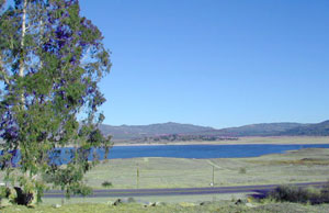
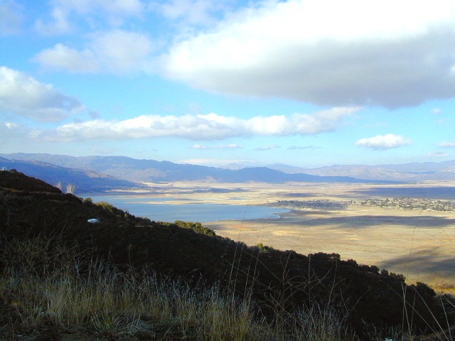
Lake Henshaw is next to Cleveland National Forest with Palomar Mountain State Park closeby. The northern border of Anza Borrego Desert State Park is not too far away either.

MAPS of this region –SAN DIEGO mountains map

Cleveland National Forest USDA
Cleveland Forest Topo Atlas USDA
Anza Borrego Desert Map
San DiegoBackcountry Map
Agua Tibia Wilderness Map

If you are imagining a forested alpine lake near Palomar Mountain, this is not it. Henshaw is a countryside area w/ meadow setting near ranches with open skies and open terrain. Can be windy at times! Can be hot in late summer.

Perfect remote spot for stargazing. Henshaw is the nearest body of water to Mount Palomar & is located on Hwy. 76, but the terrain is quite the contrast to the pine topped mountain nearby.

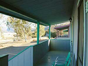
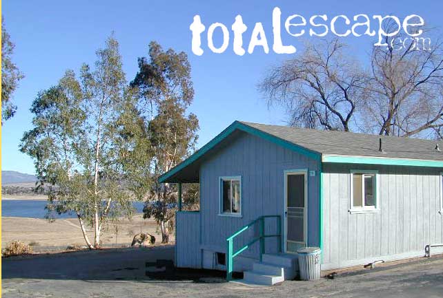
treebwTREES: Lake Henshaw has very few trees; mostly large open spaces & fields surrounding it. Cattle grazing & rolling hills w/ mountain backdrop. Stargazing and fishing cabins is more fitting of a description. This bare bones basic, little cabin resort offers a true get away from civilization for maximum relaxation close to SoCal cities.
Lake Henshaw specs:
elevation: 2740′
surface area: 1137 acres

Lake Henshaw Resort
760-782-3501
lakehenshawresort.com

Camping – 400 developed camp sites for tent and RV. swimming, picnicking, hiking, cabins, groceries

fishing:

  • trout
  • catfish
  • bluegill
  • bass
  • crappie

boating:

  • boat launch ramp
  • canoe
  • kayak
  • row boat
  • power boats
  • boat rentals available
  • inflatables
  • windsurfing

California Fishing Cabins SoCal