NorCal Redwood Coastal Camping
Redwood Campgrounds
Del Norte County, Northern California
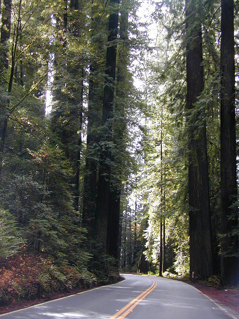
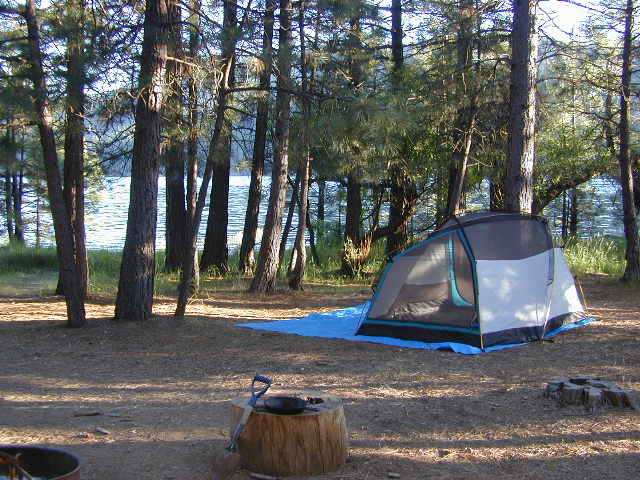
There are a few special places in California where redwood trees grow right down to the shore, but it is rare. Searching for place to pitch a tent (under the redwoods at the coast) is possible, but a bit harder to find than you might imagine. State Parks usually offer the standard paved camp site. Maybe need to drive dirt roads to find redwood seclusion.
Crescent City Camping
- Bayside RV Park
- Clifford Kamph Memorial Park
- Crescent City Redwoods KOA
- Florence Keller Campground
- Harbor RV Anchorage
- Orman Guest Ranch, Campground & Stables
- Ruby Van Deventer County Park
- Salmon Harbor Resort
- Ship Ashore RV Park
- Village Camper Inn
Klamath Coast Camping
- Kamp Klamath
- Klamath’s Camper Corral
- Klamath River RV Park
- Mystic Forest RV Park
- Redwoods RV Resort
- Steelhead Lodge & Campground
blue links lead to State Park pages with camp reservations.
![]()
Redwood Park Campgrounds 
- Del Norte Coast Redwoods State Park
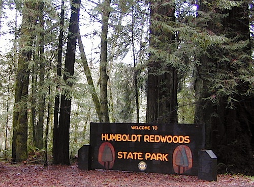
- Jedediah Smith Redwood State Park
- Prairie Creek Redwoods State Park
- Elk Prairie Campground
- Gold Bluffs Beach Campground
Redwood National Park 
Camping
- Demartin Campground
- Flint Ridge Campground
- Mill Creek Campground
- Nickel Creek Campground (backcountry)
Eureka RV Campgrounds
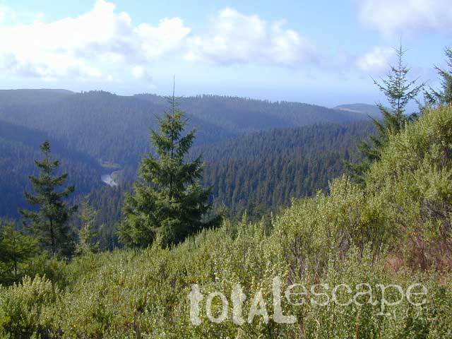
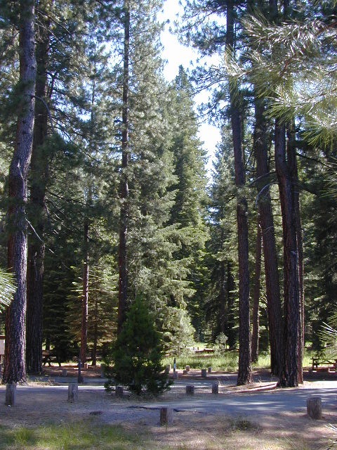
If you are seeking free or dirt cheap, primitive camping on the coast, then LOST COAST CAMPING on the Mendocino border is one option. Or head east, inland to the abundant National Forest. Dirt roads of the Six Rivers National Forest offer old logging roads, creeks, and secluded places to pitch a tent. Campfire permits are needed for dispersed camping, or ‘boondocking’ as some call it.
Dirt back roads can get muddy during the wet season, so know your vehicles capability and if you are unsure, check with the local rangers over the phone (preferably a ‘field ranger’) before venturing out. Remember that rain and mud are the norm, most of the year.
Fog is typical of the region. Enjoy the sunshine – when you can!
see more towns nearby –
Smith River
Crescent City
Klamath
Orick
Trinidad
Arcata
Eureka
Scotia
Ferndale
Petrolia
Garberville
Redway
Shelter Cove
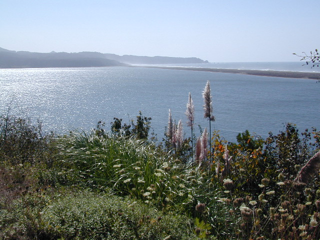

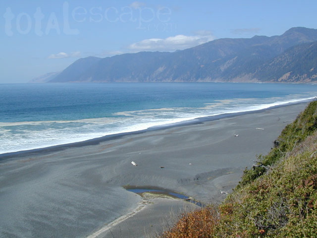
 Lost Coast Camping BLM

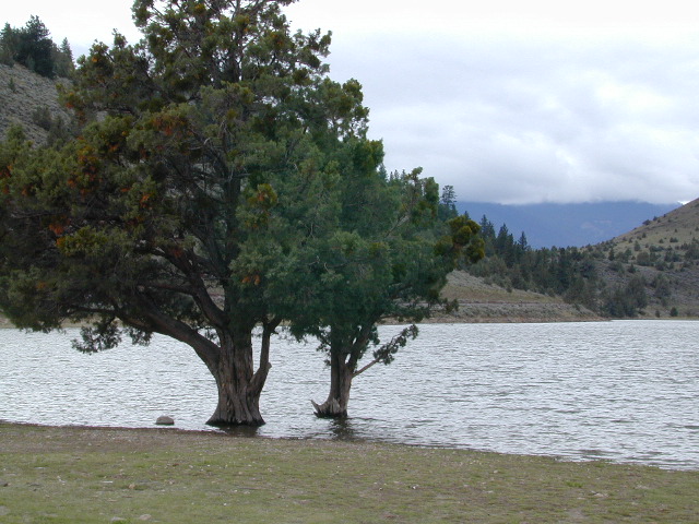
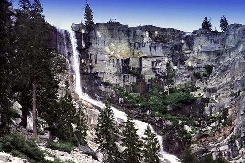
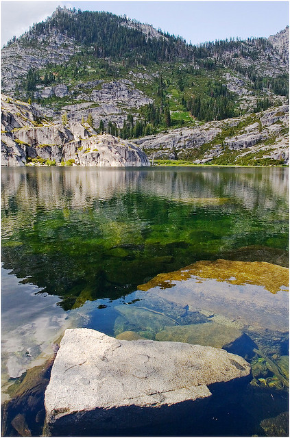
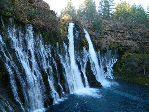
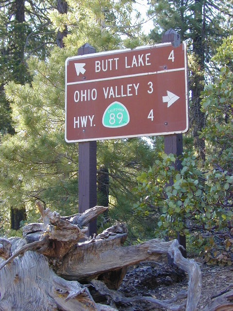
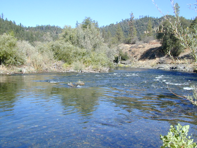
 Lakes, rivers, creeks, waterfalls, waterfowl, fishing and fresh water are all plentiful in the Klamath region. Mount Shasta and the Klamath mountain range make up a portion of the Cascade range, that continue north to the Pacific Northwest.


 The north coast of California is dubbed the Redwood Empire, and driving north on US Hwy 101 passing the well-known wine country and communities near Clear Lake, means you’ve entered the official redwood region of Cali.


 Ishi Wilderness Map