Tag Archives: North Gold Country

New Bullards Bar Reservoir

Bullards Bar California

Bullards Bar Boat-in Camps

BULLARDS BAR Dark Day is a lakeside walk-in campground on a small reservoir, located deep in the Gold Country foothills. Flush toilets and hiking trails, kayak rentals and fishing.

fish

West of Highway 49. Huge dam for hydro-electric power. Minimal roadways along the lake and steep canyons make for optimum hiking and boating. Floating and fishing. Relaxing in the mountains, with fresh water!

On most maps the official name of this lake may read New Bullards Bar Reservoir, or Lake Bullards Bar, but locals just call it simply – Bullards Bar!

Sierra Nevada Foothills. Yuba River, California.

Northern Gold Country, California

Near Camptonville, West off Hwy 49
in between Oroville and Nevada City, CA

Located not far from historic Downieville, Bullard’s Bar is an excellent base camp location for exploring the upper reaches of the Gold Country region. Old mining locations, museums, a covered bridge, various parks, Yuba River, Sierra Buttes, Lakes Basin. Grass Valley & Nevada City are also nearby. Mountain bike trails, river rafting and hiking all around.

New Bullards Bar

lake surface area: 969,600 acrespaddle sports

lake elevation: 2000′ above sea level

lake county: Yuba County California

roads around lake: Marysville Road (south of lake and east side w/ Hwy 49), Moonshine Road (south of lake), Oregon Hill Road (west side), Pendola Road (north side), and Forest Route #47 (dirt road on north side)

boatramp

nearest towns:

Bullards Bar
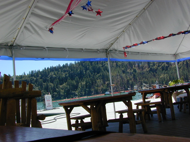
Shade @ the marina, just when you needed it most

Yuba River Recreation

camp

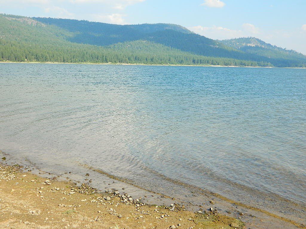
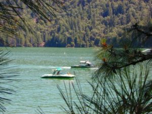
Bullards Bar water is a beautiful teal color of greenish-blue – due to heavy mineral content in the local soil (red dirt) and the dense forest above.

This water comes down the north fork of the Yuba River, as snowmelt from Lakes Basin Recreation Area, the Sierra Buttes, and the Yuba Pass on Highway 49. Northern Gold Country, California.

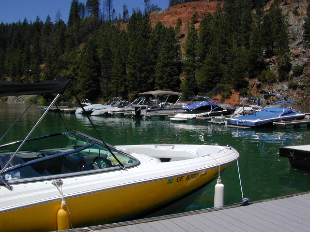
Bullards Bar Lake – Emerald Cove Marina
New Bullards Bar Reservoir
877-692-3201

boating boating gasoline marina

New Bullards Bar Reservoir

boat in camping

One of the few lakes in the Sierra Nevada that offer boat in camping at developed camp sites, and also to allow boaters primitive camping along the shoreline. No drinking water is available. No pit toilets, so a portable chemical toilet is always required. Plus, pack out all garbage.

No charge for DAY USE areas: parking or boat launch ramps

NOTE: Dark Day & Schoolhouse Campgrounds are the only car camping & RV accessible camping on this lake. These both have flush toilets and drinking water piped in. Hiking trails & boat launch nearby. Wheelchair accessible campsites are available.

CAMPS OPEN: APRIL – OCTOBER
Campgrounds @ BullardsBar are usually open from April to October annually and all are closed for winter months.

camping walkin camps hiking camping boating camping RV camping mountains

Bullards Bar Campgrounds

camp information 530-692-3200

  • GardenPoint: 17 boat-in sites
  • Madrone Cove: 10 boat-in sites
  • Shoreline Camp: 2 boat-in sites
  • Dark Day Walk-In Camp: 30 sites
  • Schoolhouse Campground: 56 sites
  • Hornswoggle Group Camp

Frenchy Point Campground USDA

Located 5 miles northwest of Dark Day Boat Ramp on the west side of the reservoir. Boat in only access. It is used as an over flow campground. There are campsites, but no bathrooms. Portable chemical toilet required. More info call Emerald Cove Marina at (530) 692-3200

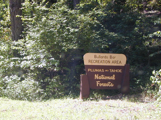
National ForestsBullards Bar Lake located on the Yuba River, bordering
between Tahoe National Forest & 
Plumas National Forest
 

bullards bar California

lake recreation 

  • boat in camps
  • canoe
  • fish
  • houseboat rentals
  • kayak
  • picnic sites
  • sail
  • watercraft rentals

land recreation

  • backpack
  • campgrounds
  • hike
  • mountain bike
  • walk-in camps

bikingbullardsdam

also in the area


View Larger Map

califrepublic

Second Spillway – in the works?
Yuba Water Agency has just committed to building a $160 million second spillway at the New Bullards Bar Dam; beginning in 2021, with a completion date of 2025.

check

https://en.wikipedia.org/wiki/New_Bullards_Bar_Reservoir
https://en.wikipedia.org/wiki/New_Bullards_Bar_Dam

Gold Lake California

lilgoldlake
Hike-in only Gold Lake, Bucks Lake Wilderness.

California has more than one Gold Lake!

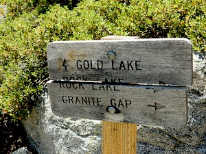
goldsign

Gold Lake, CA

(Sierra Co)
6409′ elev.

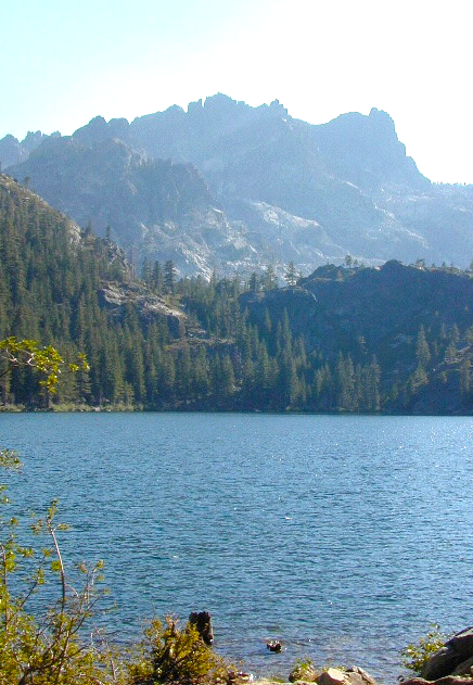
The biggest Gold Lake, California is the well-known one, along the Gold Lake Highway in the Lakes Basin Recreation Area. Plumas meets Tahoe National Forest. North of Gold Country Hwy 49, Downieville & the Yuba River. Right where the Sierra Nevada granite meets the volcanic lava rock of NorCal.

Packer Lake

Lakes Wilderness Map

Impressive jagged spires known as The Sierra Buttes (8591′) tower above the stunning lake scenery. This big Gold Lake is surrounded by a dozen smaller alpine lakes which make up the popular region called Lakes Basin. Easy access paved highway, which closes in winter for deep snow and winter recreation. The Gold Lake Highway is also referred to as Plumas County Road #S620

sierra buttes
the sierra buttes

Sardine Peak Fire Lookout lodgeranger rentals
NFS fire tower – no more overnight rentals!
overlooking the Sierra Buttes and the serene Lakes Basin, Yuba River, Northern Gold Country California

see CalPine Lookout near Sierraville, CA

driftwood

USFS

LAKES BASIN RECREATION AREA
Cabins, camping, lake fishing, backpacking, hiking, horseback riding, mountain biking, off-roading, snow-mobiling.

lakesbasinhikers

snowmo

California Lakes

mini gold lake

Mini Gold Lake

(Plumas Co)
6000′ elev.

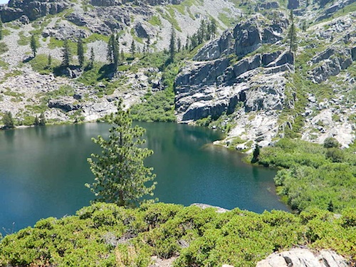
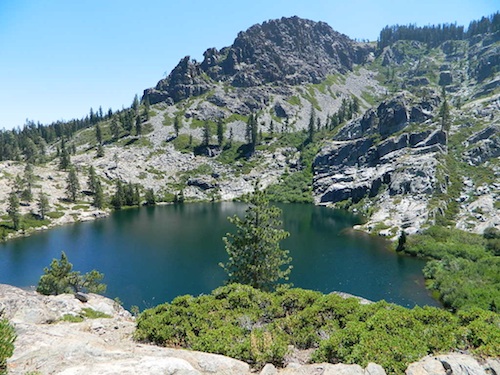
Another smaller Gold Lake exist on the granite slopes in Bucks Lake Wilderness – E of Oroville & W of Quincy, CA.

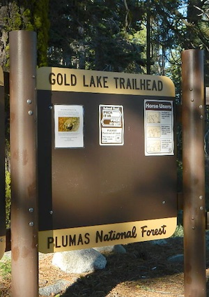
gold lake trailheadThis hidden gem is a hike-in only lake – and well worth the effort. A somewhat short hike, great ridge line views to the east, although the last half mile of this route is a doozie (moderately strenuous).
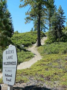
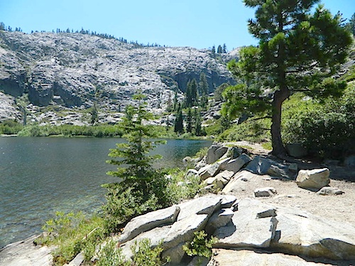
The main trailhead departs from Silver Lake and climbs a ridge line that heads over to the PCT (Pacific Crest Trail). An off-shoot trail goes another mile to the miniature Gold Lake, a granite bowl of sheer beauty. A great day hike for those wishing to see the backcountry. Pack your picnic lunch, camera, and make a whole darn day of it!

Swimming & skinning dipping seem quite natural at this alpine lake, since it is a pretty remote location (without a lot of visitors) and there is absolutely no swimming allowed at neighboring Silver Lake.

bucks trailhead

The steep, overgrown, rocky shoreline leads one to bush whack through old trails, only to be met by a rock slide. Many dead ends and obstacles to climb around, or over. Some way… maybe, or maybe not!

Boulder and rock scrambling is the key phrase to remember, once you reach this lake. Knees may be sore from climbing, up and over the boulder ledge surrounding the lake bowl.

goldshore

Bucks Lake Wilderness Map

A few primitive camp sites are scattered about on the edge of the lake for those backpacking in, but be warned – they can be very difficult to reach. Much more suitable campsites can be found scattered throughout the area.

Warning: there are no flat, lush meadows to lounge in up at the lake, so pick yourself a side route (on the walk in) to find real seclusion and privacy.

view to Quincy

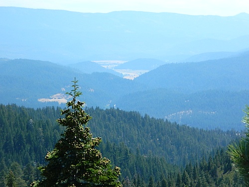
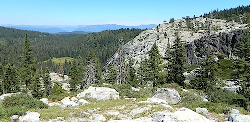
This mile-long-ridge hiking trail to mini Gold Lake has some amazing views down to the east side – Jacks Meadow right below; then Meadow Valley & Quincy off in the distant hills. RURAL CALIFORNIA – Plumas County from above.

jacks meadow
jacks meadow, way below

Sierra Nevada Lakes

High Sierra Gold Lakes in California

hike-in only lakes

hike

Golden Bear Lake
(Tulare Co)
12,000′ elev

High Sierra – Kings Canyon National Park
Center Basin / Center Peak 12,760′
PCT – Pacific Crest Trail
North of Mount Whitney
Eastern Sierra, Independence, CA

hike

Golden Trout Lake
(Inyo Co)
11,500′ elev

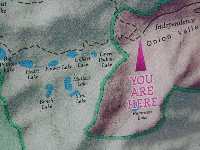
Trail #3306 from Onion Valley Campground
North of Mount Whitney
Eastern Sierra, Independence, CA

goldentroutlakecanyon
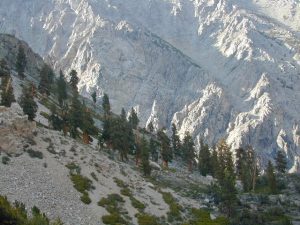
onion valley trail views
Eastern Sierra Lakes
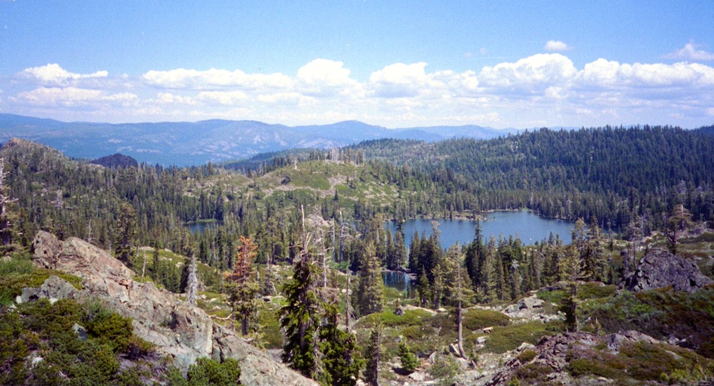
Alpine Lake above Onion Valley, Eastern Sierra

Northern Sierra Nevada

Sierra Nevada North / Northern Sierra Nevada Mountains

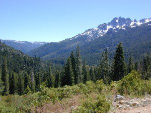
lakes basin views

sierra buttes
the sierra buttes

Northern Gold Country, Yuba River

Sierra granite rock meets volcanic rock at Lakes Basin & Lassen NP

Some California maps consider Mount Lassen to be the top of the Sierra Nevada range, while other maps cut it off at Lakes Basin @ Sierra Buttes, much further south. Lassen Peak is actually part of the Cascade Range of mountains that go up the coast of the Pacific Northwest. Either way, we’ve included Lassen maps in this list.

Tahoe National Forest Map

South Yuba River Map

Lake Basin Recreation Area
Lake Basin Map
Sierra Buttes Map
Gold Lake, Graeagle, Sierra City

Plumas Eureka State Park
Plumas Eureka State Park Map
Middle Fork Feather River Map
Blairsden, Portola

View East from Davis
Crocker Mountain @ Lake Davis, California

Plumas National Forest
Plumas Forest Map
Almanor, Crescent Mills, Greenville, Inskip, Paradise, Quincy, Portola

Sierra Nevada

Lassen National Forest
Lassen Forest Map
Burney, Chester, Fall River Mills, Paynes Creek

lassen park

Lassen National Park
Lassen Park Maps
Mineral, Old Station, Westwood

laseen camps