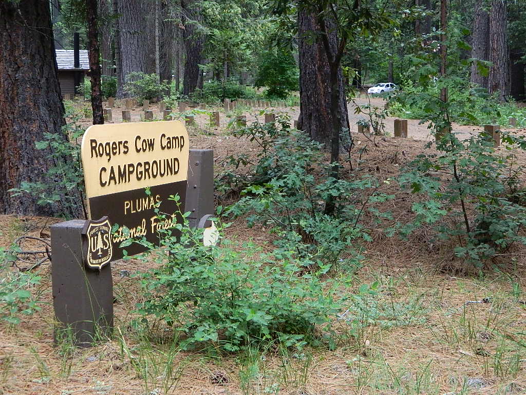
Rock Creek Camp @ Plumas NF
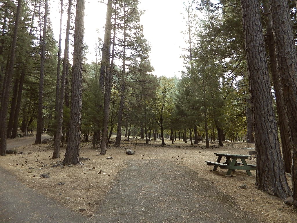
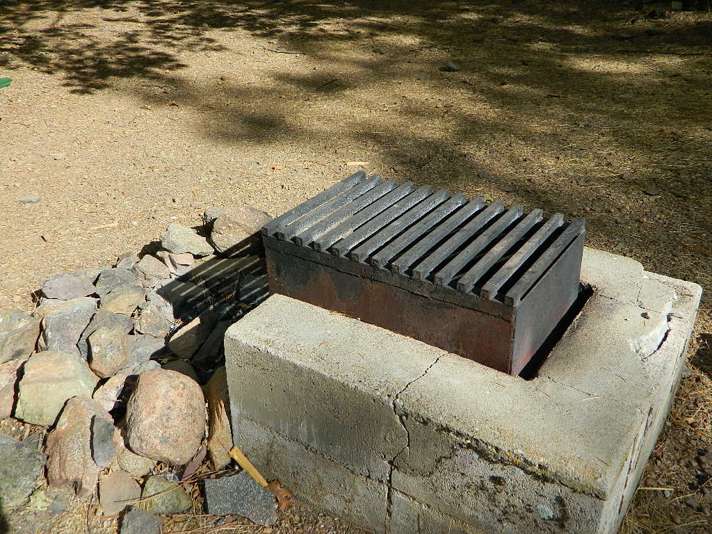
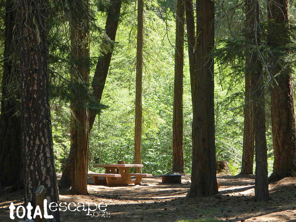
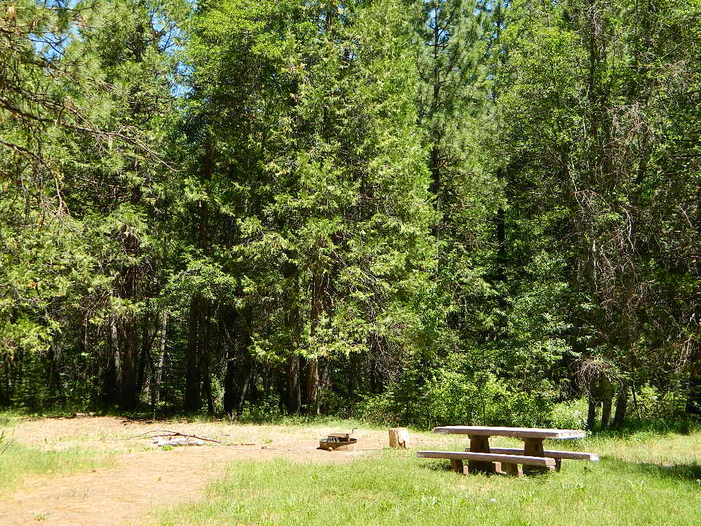
Rock Creek Campground
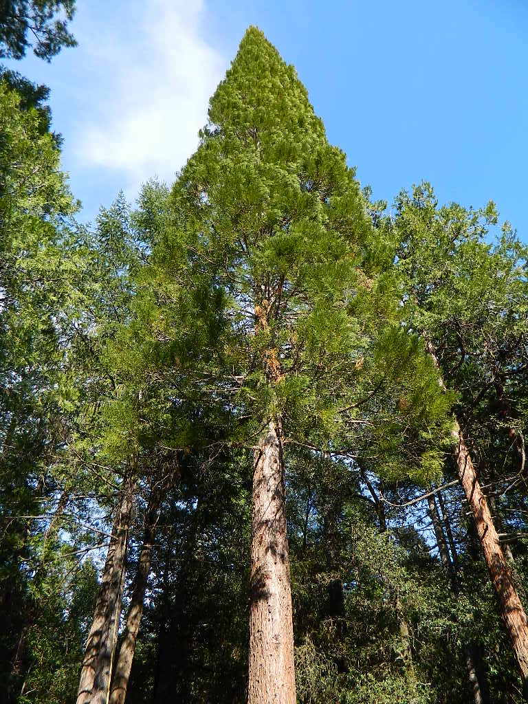
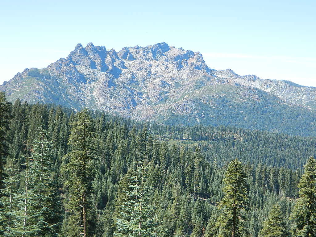
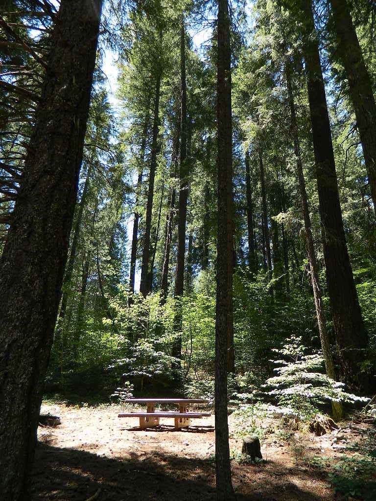
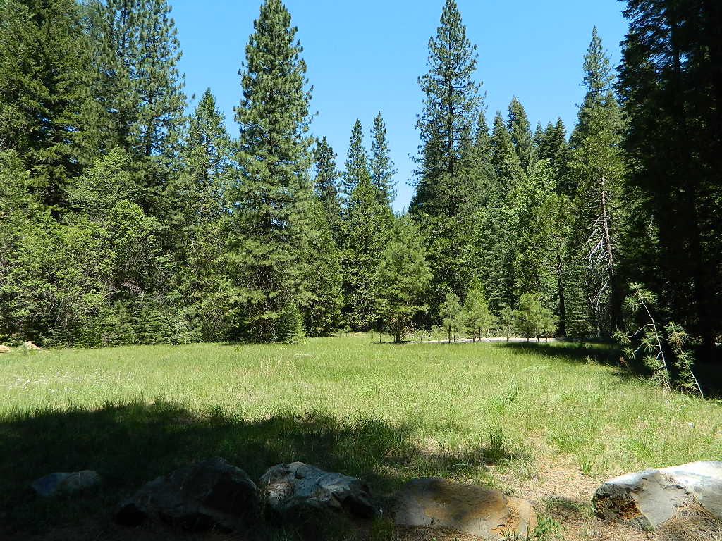
on creek with small meadow in the forest; access via dirt road in between Bucks Lake and Quincy, California

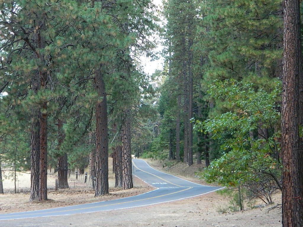
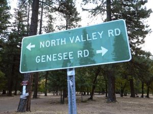
Slate Creek Road
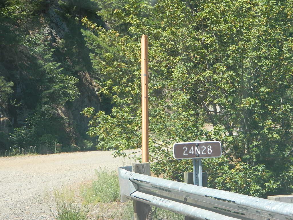
Plumas Forest Road #24N28

Rock Creek Campground NFS
Elevation: 4300′
Number of Sites: 6
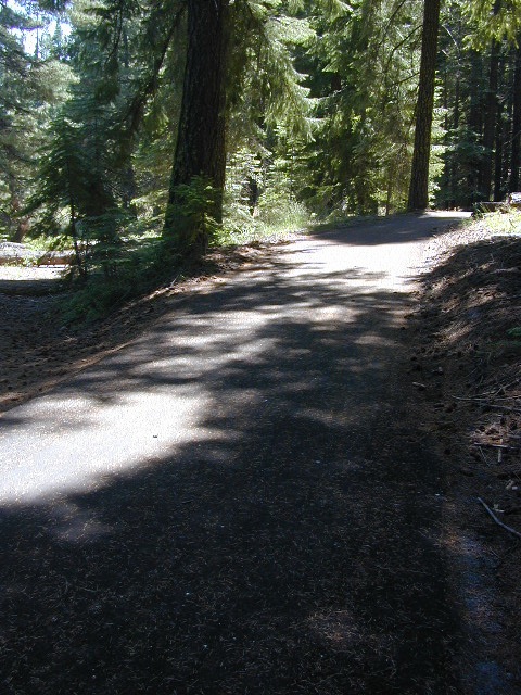
Vehicle Accessibility: dirt road access
Campsites Reservation: No
First-come, first-served.
First-come, first-served.
Length of Stay: 14 Days
Season: May – September
Trailheads: PCT (apprx 3 miles)
Middle Fork of the Feather River
Meadow, Forest, Wildlife.
dirt roads, creek, with peace and quiet (mid-week)


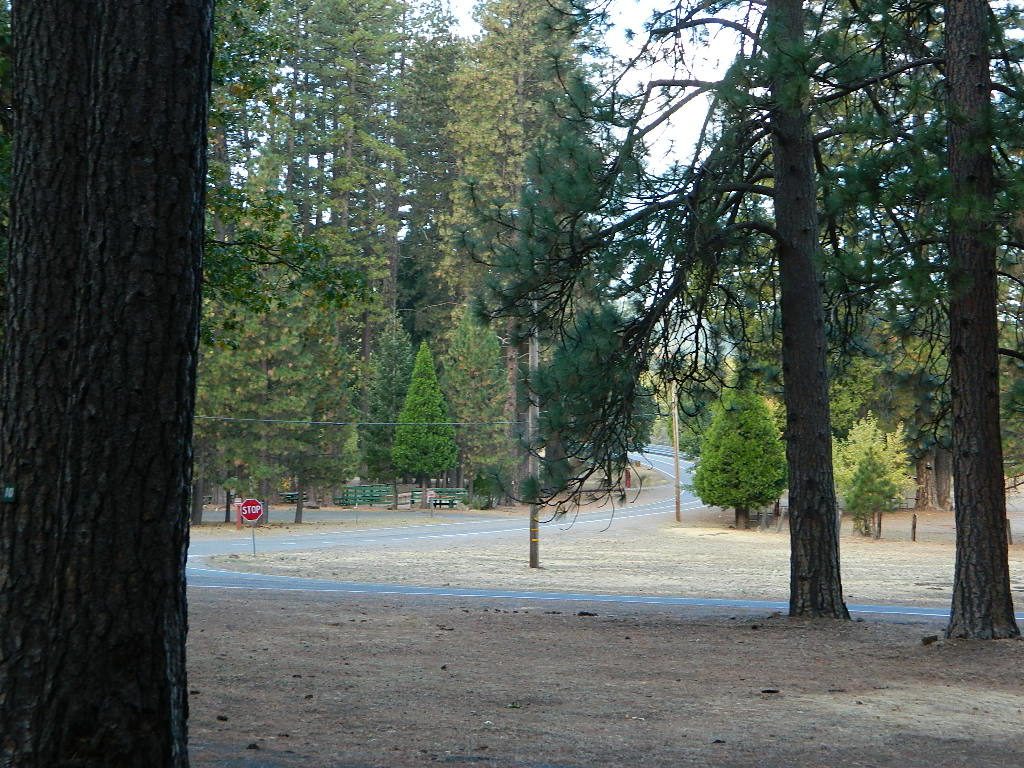
NOTE: OHV off roaders, quads, dirt bike use is somewhat common around here. The main dirt road cuts right through the middle of this campground, so passing traffic noise is possible. Choose the meadow side of camp, and get back off the road a bit – for more seclusion and a better night sleep.
The small creek-side meadow is also the proper stargazing area. Bring lawn chairs or blankets and watch for wet soggy spots. Don’t drive on the meadow! Keep campfire low when watching for meteors.

LOCALS TIP: If this small campground is full or not quite far enough, then keep on driving, deeper into the woods – to reach NFS Deanes Valley Campground

 Plumas National Forest