Camping areas along Kings River, Sierra Nevada California
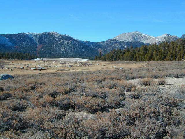
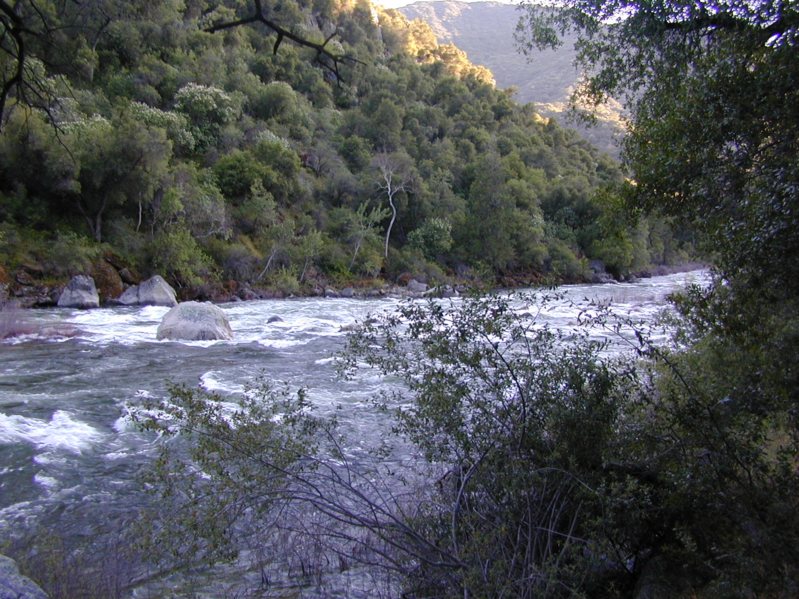
Kings is the longest river in the Sierra Nevada and very rugged and remote in most of the length. The Upper Kings is situated in the Wilderness and National Park at the highest of elevation. Granite alpine back country, with abundant small lakes, the Pacific Crest Trail and numerous Wilderness areas.

The tallest peak, Mount Whitney, drains this way – down waterfalls and whitewater, westward to the San Joaquin Valley. Agriculture, farmlands and orchards of fruit.
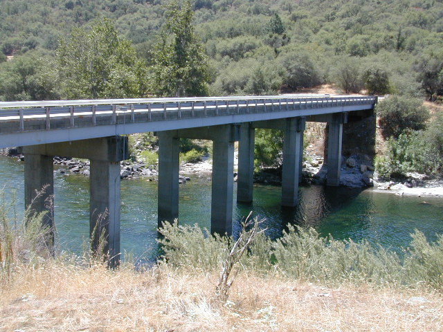
The mid section of this mighty Kings River runs close to Hwy 180 inside the Kings Canyon National Park

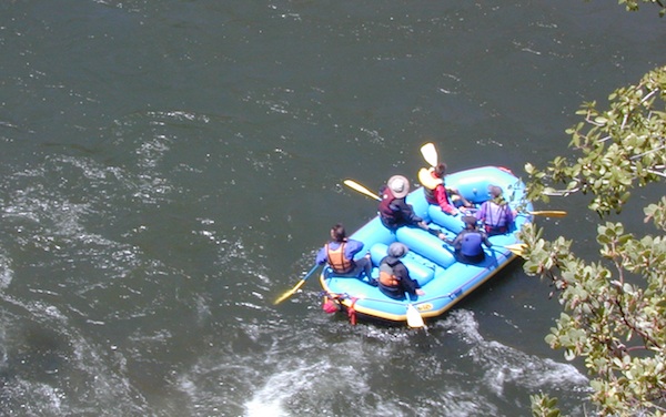
The Lower Kings is popular among campers, fishermen, kayakers and rafters, accessible most of the year. Upper Kings River is located inside the National Park boundaries.

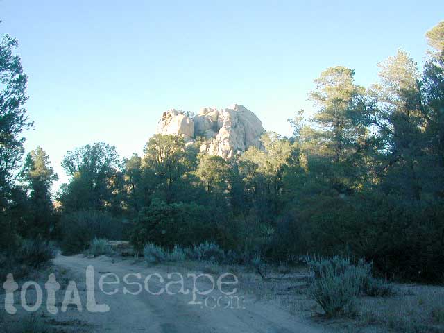
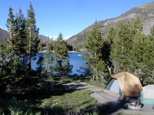
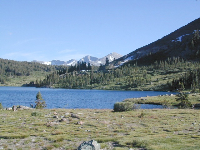
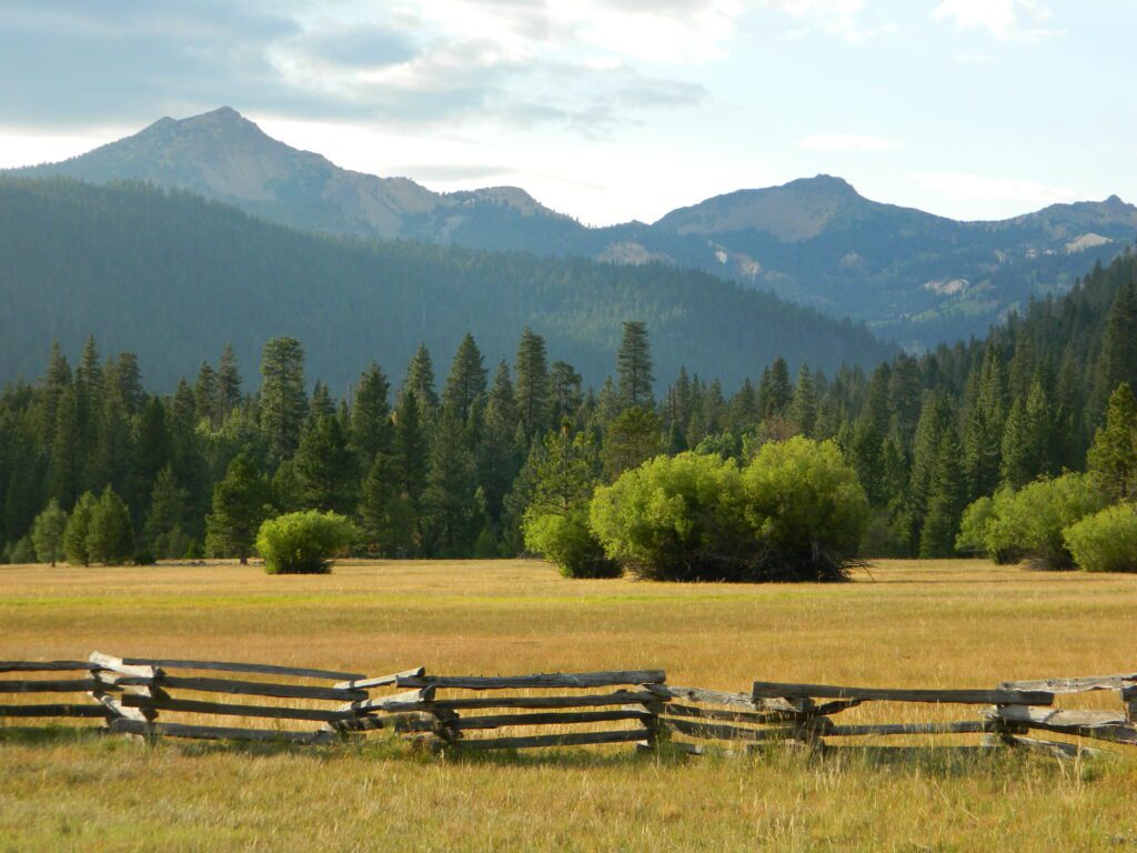
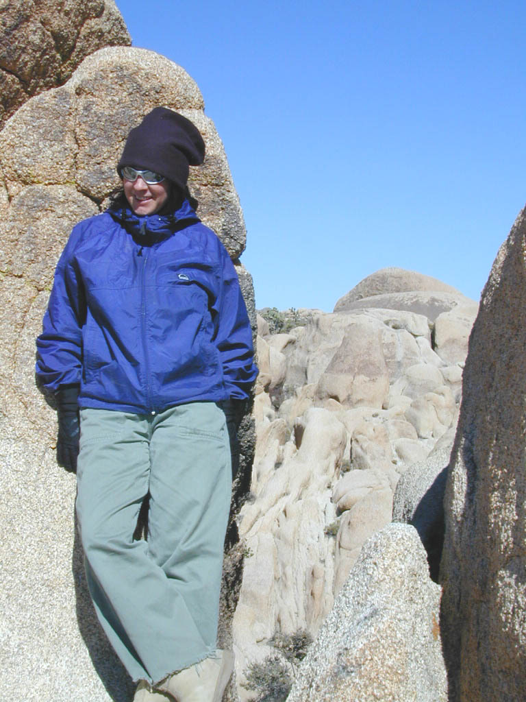
Upper Kings River Headwaters
8000-10,000′ elevation
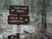
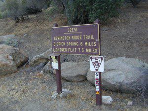
PCT trail camping, hiking trails lead 20+ miles from Cedar Grove, skirting the Joh Muir Wilderness

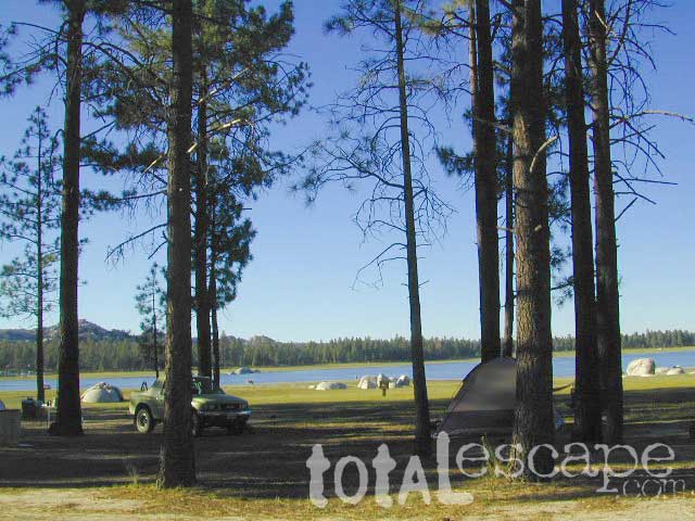
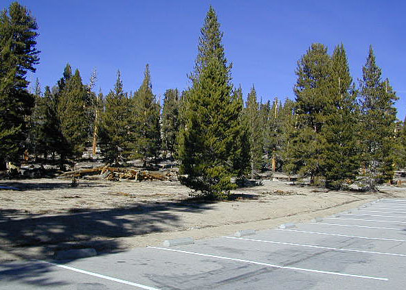
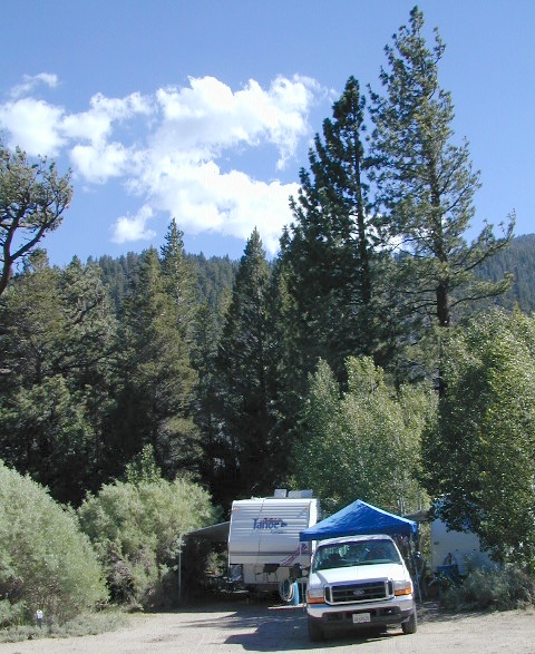
NPS Campgrounds @ National Park
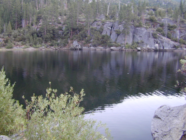
South Fork Kings River
Inside Kings Canyon National Park:
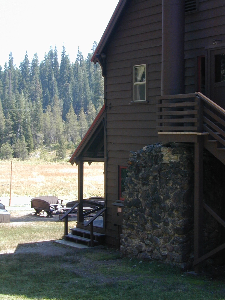
Cedar Grove Village @ end of Highway 180
elevation 4600′
may be closed during winter months.
reservations recommended.
![]()
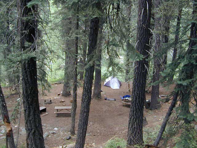
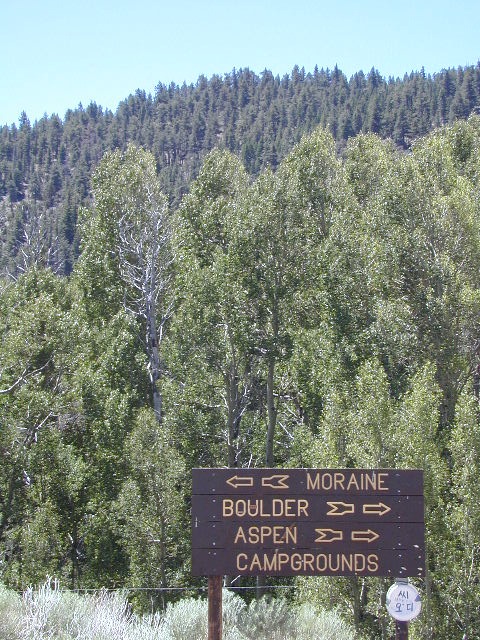
- Canyon View Campground (37 sites)
- Moraine Campground (120 sites)
- Sentinel Campground (82 sites)
- Sheep Creek Campground (111 sites)
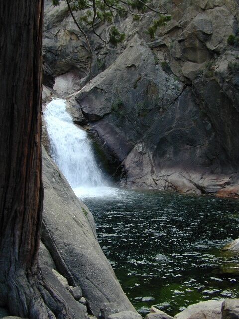
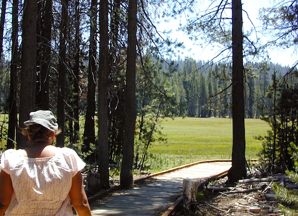
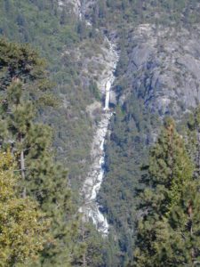
Roaring River Falls
Sentinel Dome (9115′ elev)
![]()
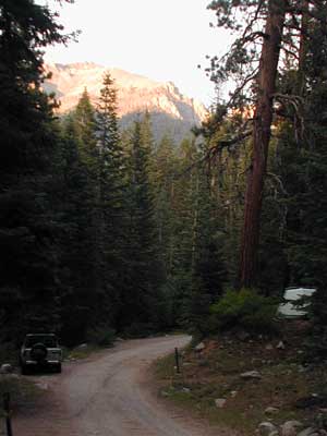
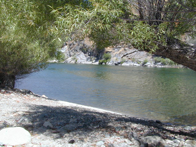
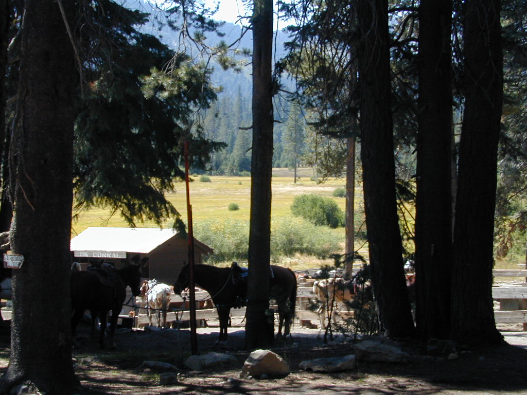
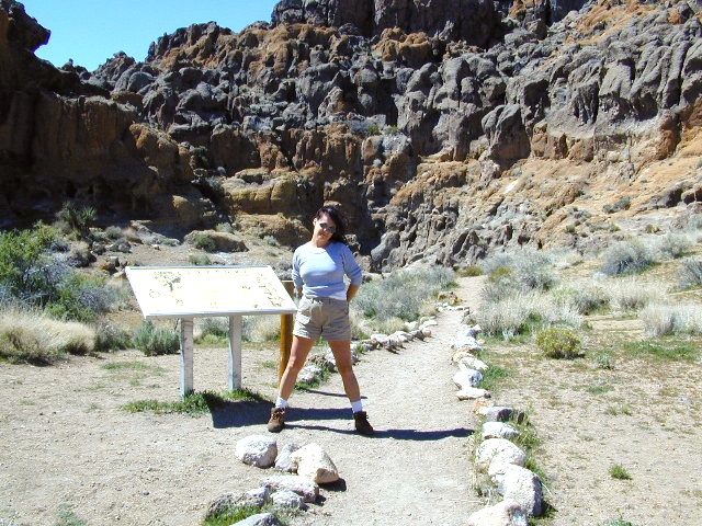
Roads End Trailhead
Backpacking trails lead up river from the paved parking area.
NPS – wilderness permits required for overnight stays.
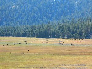
Camping, day hikes and horseback trails. Wildlife and wildflowers abundant in this Cedar Grove / South Fork canyon.


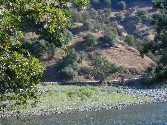
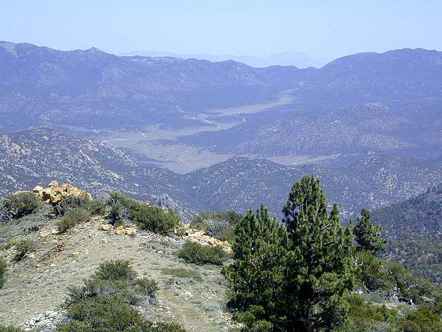
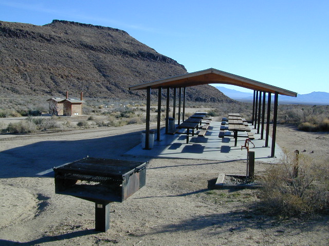
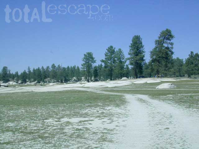
Camping near Lower Kings River
Open all year round. Outside the National Park boundary, westward in lower elevations, many more camping options are available.
![]()
NOTE: Sierra National Forest is located on the north side, along the river shore in between Pine Flat Lake & Kings Canyon National Park. But Sequoia National Forest is located on the south side, so you may need more maps. Cell phone service is spotty or non-existent in this deep canyon.
Lower Kings is best accessed via the paved roads, up behind Pine Flat Lake, California
![]()
Trimmer Springs Road #11S12: a paved access road, that wraps around the northern shore of Pine Flat Reservoir. Very curvy and long, with 25 mph curves; this main route continues east into the massive Kings River Canyon.
Google Maps may have this road crossing the river, towards the end. Proper signage is questionable in the area, since local rednecks love to shoot up signs. Trimmer route quickly peters out to narrow dirt roads, anywhere past the Mill Flat Campground area.
Lower Kings is NOT easily reached via the National Park, nor Kings Canyon Highway 180. Dirt road travel is required on Road #12S01, which can be steep and rocky at best. The drive is a steep climb up to the highway, which may require 4 wheel drive in some sections, depending on weather and land slides. This road is rough, so you will need at least a high clearance rig and a good forest map. Winter brings some snow and abundant rains (NOV – APRIL).
LANDSLIDES and ROCK SLIDES are common with ROAD CLOSURES not always posted on the Sierra National Forest, NFS web site.

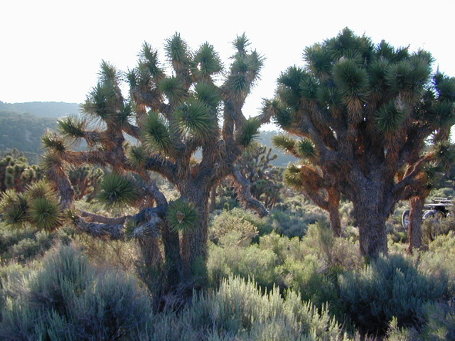
Wildflowers are abundant in this region for springtime. (MARCH-MAY)
![]()
(north shore)
Lower Kings River
elevation 1100′
Sierra National Forest ![]()
Kirch Flat Campground NFS (17 sites)
![]()
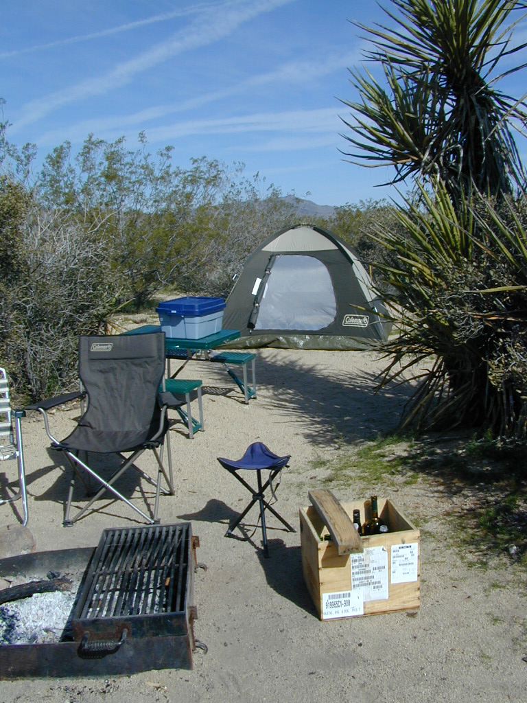
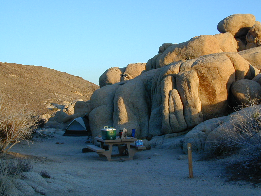
both above camps are free camp spots: boondocking, dispersed camps, primitive car camping, tent camping, RV camping, river fishing, kayaking, rafting
Sierra Road #12S01 – primitive camping, few pit toilets; fishing access, some trailhead camps and RV spots along river. The northern most arm of this road is also referred to as Road# 12S001 Garnet Dike, on the NFS web site.
Along paved routes, near bridges, some dispersed camping is also allowed. Campfire permits are required.
Sierra Road #9 is Big Creek Canyon – a side route, graded dirt road worth exploring for primitive camping options. The farther you drive up, the more vegetation you will find. Campfire permits are required.
BlackRock Reservoir Road #11S12, another side route (paved) climbs steeply in elevation, along a cliff edge. This spot offers a small NFS campground near a lake, and is located along the North Fork of the river.
(south shore)
Lower Kings River
elevation 1000′
![]()
- Camp 4 ½ Cabin (reservations)
- Camp 4 Campground (5 sites)
- Green Cabin Flat (8 sites)
- Mill Flat Campground (5 sites)
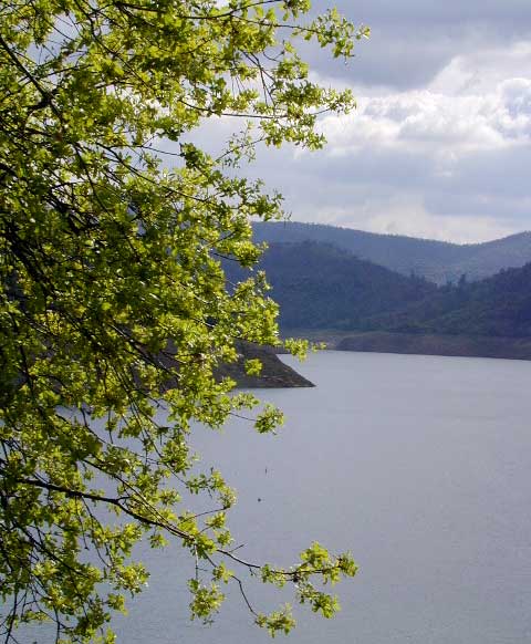

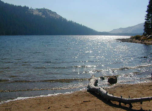
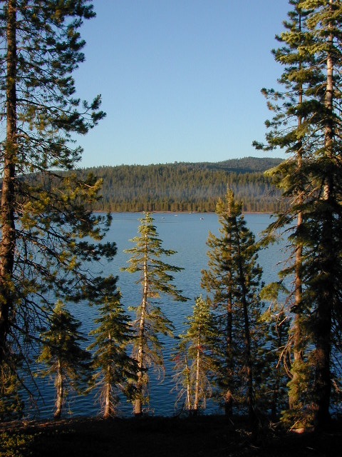
Pine Flat Reservoir
elevation 952′
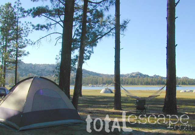
- Island Park Campground (94 sites)
- Trimmer Campground (10 sites)
Avocado Lake Park is down river and a perfect spot for a picnic or BBQ. A 210 acre day use park providing recreation that includes swimming, fishing and picnicking. The park has picnic tables, a group picnic area, BBQs, boat launching ramp and a playground. West of Pine Flat Reservoir, this grassy county park is only open during daylight and no overnight camping is allowed.

Next park down river is
Kings River Green Belt Park, which seems to be popular with joggers and dog walkers. Also run by the county, this place closes at sundown and no camping facility is offered.

@ Highway 180
Riverbend RV Park
17604 E Kings Canyon Rd
Sanger, CA 93657
with seasoned organic firewood


 BRING EVERYTHING = ice chest w/ block ice, drinking water, flat tire repair kits, tow strap; extra blankets, medication, first aid kit. There is no store within 30+ miles of here, and the dirt road is very long (both ways) – so it is best to be prepared with all food and beverages.
 No pavement, no picnic tables.