Tag Archives: open

Primitive Camping California

Sierra Creek Camping

Primitive Camps in California

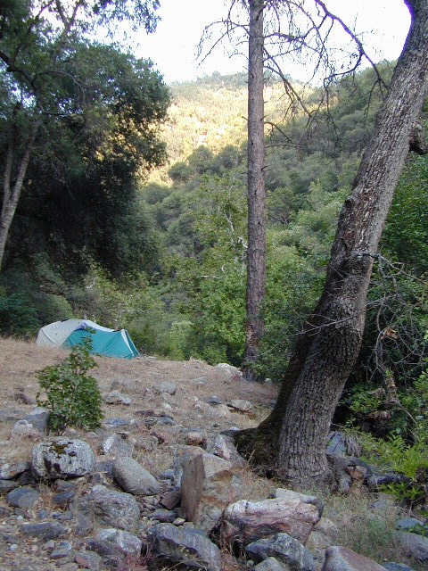
Free camping outside of a developed campground, for a self-contained camper who wants seclusion and privacy. Real relaxation in total peace and quiet. More nature, less people and minimal vehicles.
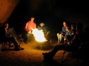
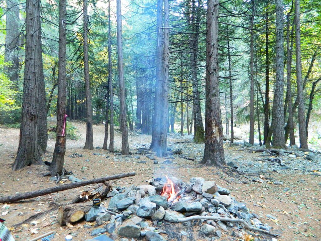
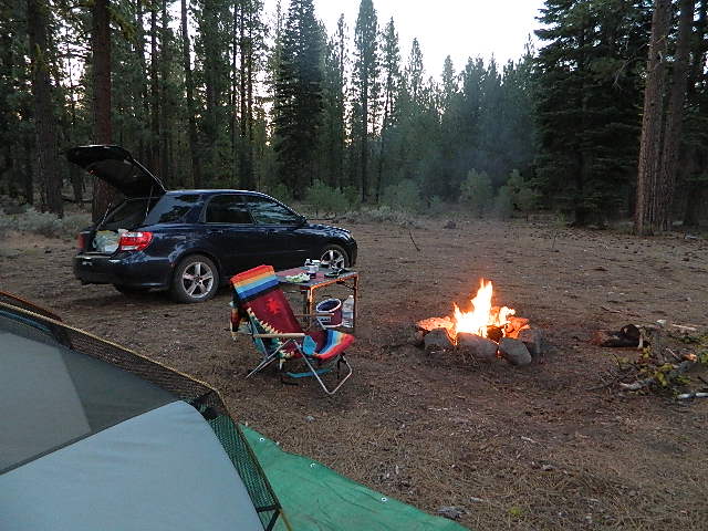
Campfire NIghts

Free Campsites • Dispersed Camps  Open Camping Boondocking

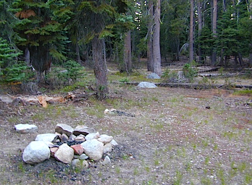
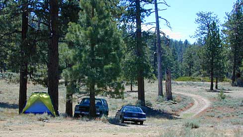
primitive camp sites the bare minimum. a clearing for a tent, maybe a fire ring. no toilet, no fees; dirt road access.

campfire

campfire permits required. And it is up to you to know the current fire restrictions in the area you seek to camp overnight.

Campfire Restrictions in California

  • shovel

  • water

  • topo maps

  • trash bags

  • tow strap

  • camping gear

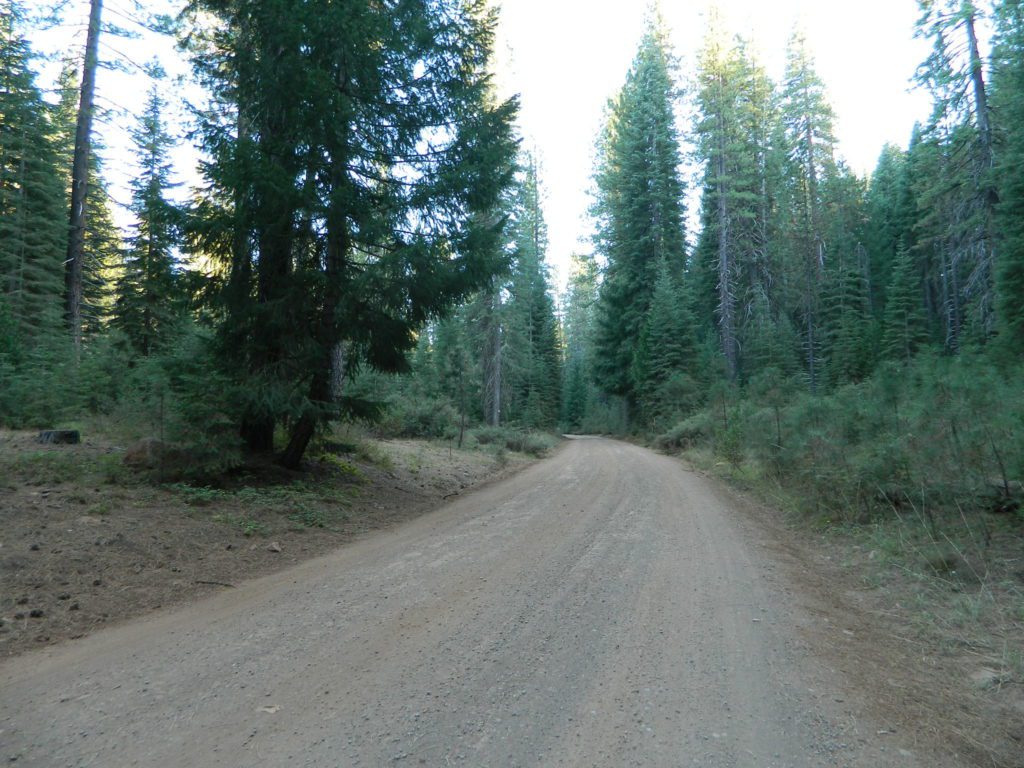
Back Roads to Secluded Camps –

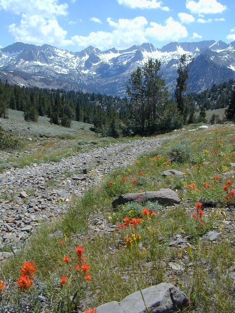
The further out you are willing to drive, the more remote you can be. Good topo maps of the region help you to find these ultimate, secret camping spots. National Forests & BLM Lands require a free camp fire permit to have a campfire.

4x4

Fire safety is always a big concern in wildfire prone areas like California. Additional Permits & Passes may be needed in some forests or parks; each location is different. Check with the local ranger station for up to date restrictions.

Many dirt roads lead avid campers to the best out-of-the-way camp sites. Camps may have picnic tables or just a fire ring, but usually NO toilets. Have the “No Bathroom Blues”? Don’t sweat it. check out the page on Camp Potty

Some camp sites are as bare as a small clearing, a rock fire ring if you’re lucky. A detailed backcountry map is always advised. If you count on your digital mobile device and online access for mapping, you could find yourself very lost. GoogleMaps is known for mislabeling the smallest of back roads – and they do not feature dirt roads either.
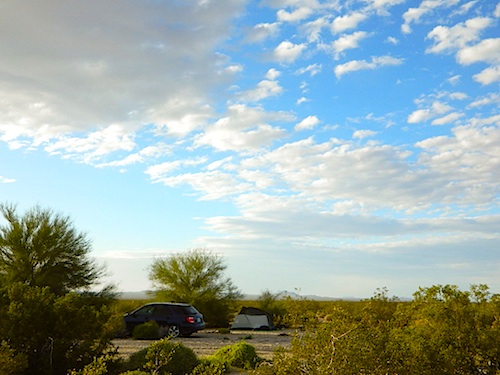
free desert washes
Turtle Mountain Road, SoCal

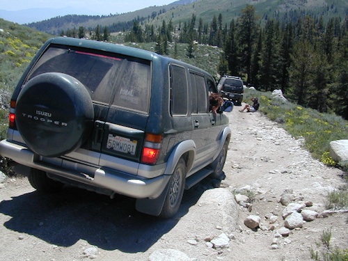
camptruckA high clearance vehicle may be needed to reach certain camp spots, but many can be accessed with a standard passenger car. Low riders will likely bottom out and motorcycle riders will get dusty.

Know your vehicles limitations for any off-road use and don’t get stuck in a bad situation. Soft sand is quite common in deserts and 4×4 might be needed. There aren’t any tow trucks out in the boonies and if you do find one, it’ll cost you something fierce. Watch for large rocks, deep ruts or tree limbs in the road (at any time) and watch low overhanging branches when driving a motorhome in to such spots. Some dedicated, hard-core RV campers prefer to camp in remote locations.

Kern RV spot

yellow-post camp sites

Southern California has something called yellow post camps, but we’ve really ONLY seen them inside San Bernardino National Forest areas, which includes Idyllwild and Mount San Jacinto, plus all the Big Bear Lake Mountains.

YELLOW STICK? These are fire safe spots w/ picnic table; secluded in the forest, some accessible by passenger cars, while other camps require a 4×4 to reach. Yellow post sites campfires are often off limits during fire restrictions, when only fires are allowed inside the larger developed campgrounds.

dirt road and trailheads

Backpackers trailheads often have a few camp sites near the parking lot, but these may be busy during summer months. Dirt roads leading to trailheads can have primitive camp sites along them as well. Long, big creeks in the forests are notorious for having awesome camp sites. Big river camp sites are sometimes free, if you know where to look. Sometimes the smallest of California campgrounds have no charge, first come, first serve (BLM, National Forest, or State run).

freespice

No charge campgrounds in the Sierra Mts 

find free camp spots

Before it got labeled BOONDOCKING: Primitive Camping in remote spots was what we lived for. Camp outside of developed campgrounds, for free. Campfires will usually be banned on these back roads during the driest part of the year. Check with local ranger stations for current fire restrictions.

Campfire Restrictions in California

check

inyohighroad
Inyo High Country Roads
39N06dusk
McCloud #39N06 – Grizzly Peak Lookout Rd

pros and cons

possible dirt road access, seclusion, privacy, darker skies, no fees, no crowds, real peace & quiet

no toilet, no picnic tables, no pavement, no hospital, a long hike out, no cell phone service?

hiker

always be prepared to hike out (if need be). a giant tree can come down and block your exit road. landslides often happen on dirt back roads. the vehicle could break down or become disabled. get a topographic map and know how to read the terrain, without your device/phone.

elevation

PAY extra close attention when driving in (visually with terrain and your eyes and your map). You never know when you may need to back track – or turn around to find a PLAN B campsite.

Avid camper people are indeed known to GPS waypoint their favorite pick campsites (way on the back roads), so they can arrive after work, in the dark, on a Thursday night. Now that’s planning ahead!
rockfirering

Camp Hole

northlassen

Primitive Campsites


6N06 – Stanislaus NF

graded road

Forest Rd #6N06 – County Line Road, Fence Creek, Stanislaus National Forest

Central Sierra Nevada Mountains, California
N of Hwy 108; W of Sonora Pass

On the very edge of wilderness
Stanislaus National Forest
County Line Road
Fence Creek Campground (NFS)

Graded dirt road near Clarks Fork junction @ SR 108. Dirt road travels up into forest, hiking trails and meadows; South side of the volcanic Dardanelles @ Tuolumne Co. & Alpine Co. boundary

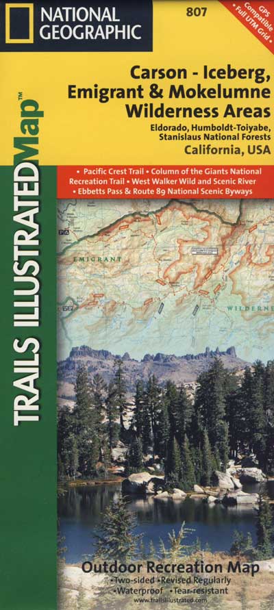
Carson Iceberg Map

County Line Trailhead
Wheats Meadow Trailhead
Carson Iceberg Wilderness Area
The Dardanelles (9524′ elev)

Clark Fork, Middle Stanislaus River

Topo Maps of this Region:

Stanislaus National Forest Map USDA
Carson Iceberg Wilderness Map USDA
Carson, Emigrant, Mokelumne Map NatGeo
Sierra Nevada Topo Map

hiker

  • backpacker access
  • day hiking
  • horse camping
  • primitive camping
  • trailhead camping

winter road closure, annually
check with local rangers on road access and conditions.

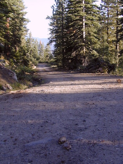
Rd# 6N06, climbs to mountain scenery at upper elevations, well of the main highway. Route is a 2-lane wide road at times, narrower and private towards the end of roads; several dirt roads, overgrown 2 tracks w/ many camp sites to choose from. Dispersed primitive camping requires a camp fire permit.

6N06rd

OHV off-roaders will only find dead ends on dirt route 6N06. NO motorized access in nearby wilderness. Wheelers should try south of Highway 108 @ Niagra Campgrounds; Niagra Off Road #5N01 for all the noise-makers, gear heads, dirt bikes, and toy boxes. Niagra Creek, Niagra OHV, Niagra 4×4.

dirtbikes

nearest towns:

Dardanelle
Pinecrest Lake
Twain Harte

volcano mdws

Pismo Camping

Pismo Beach Camping – Oceano Dunes SVRA (Pismo Dunes)

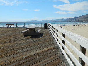
This might be the only place on the entire California coast where you can take your vehicle on the sand. Drive on the beach!

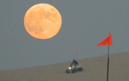
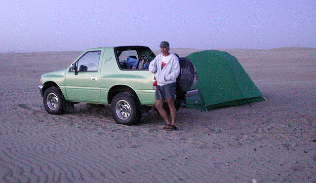
RV CampingOpen dispersed camping is available along Oceano Beach. Watch the high tide line and set camp well beyond that mark. A typical weekend is busy year round. Sand rails, quads, the beefy family SUV, or the ‘garage queen’ trucks. With all these motorized toys, you’re thinking either – yeah, or no way. Option B is listed below.
SAND DUNES
Off-Road playground, Oceano Park is also referred to as Pismo Dunes.

San Luis Obispo: SLO is north of Pismo a few miles. North of Avila Hot Springs. Other amazing parks include – Montana de Oro & Morro Bay.

DSCN1054

Oceano Dunes Camping open camping

Oceano State Vehicle Recreation Area has open camping on the beach, with a toilet within walking distance. No tables, no fire rings or paved anything! This is where all the big boys with the big toys like to hang out. Toy box trailers, bon fires, crowds & exhaust fumes. This crew can be seen each weekend driving Hwy 166, over to Bako.

Option B:

a large 82 site coastal campground is better suited for RVers & tourists wanting to avoid dune buggies. Horseback riding, beach, bike trails, laundry, market, shops & restaurants all close by. State Park Campground within walking distance to downtown Pismo & the Pismo pier.

Pismo State Beach State Park

Pismo State Beach Campground camp

more Pismo camp options:

Coastal Dunes RV Park RV Parks Pismo

La Sage Riviera RV Campground RV Parks Pismo
319 North Highway 1, Pismo Beach

Oceano County Campground
Oceano, CA

Pismo Coast Village RV Resort RV Parks Pismo
Pismo Beach, CA

Lake Lopez, inland
Arroyo Grande, CA

beach camps

nearby cities include:

pismo dunes

see also – Rock Front Ranch

Inyo Forest Roads

Baker Creek
Baker Creek, Inyo NF

Eastern Sierra Nevada – Inyo Mountains
Inyo Forest Back Roads – Mammoth Off Road

Off Road near US Highway 395. Yep, Olancha has some OHV (off-road) areas near the dunes, but this web site is dedicated to the real deal, the scenery, the trail heads, the hot springs, great secluded camping & of course, back road exploring.

You will need a Inyo National Forest map to discover these back roads. These are minimally traveled routes, un-maintained, sometimes washed out, eroded & maybe even creek crossings (without a bridge). Some gravel two-lane routes, some one lane roads leading deep into dead end canyons.

A few popular routes are paved, but most of these listed are indeed dirt roads. Some may require high clearance vehicle, or even 4×4. Know your vehicles limitations & be prepared to turn back when the road worsens. Cuz more often than not, it’s a sign of what more difficult terrain is to come.

coyote creek route

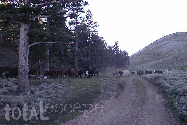
Watch out for live stock – they are dumber than they look.

Owenyo Rd – Wanna parallel the highway (395) on dirt; Sure, it’s a long bumpy route – from Hwy 136 @ Dolomite to Bend City @ Mazourka Cyn.

Road# 13S05 – Mazourka Canyon Rd – leads up to some old mining camps & way behind Mazourka Peak (9410′) deep into the Inyo mountains. It’s all desert on this side, but these canyons have pinyons & more vegetation than you would imagine. Road# 9S15 & 9S14 circle Andrews Mountain (9460′) then join back up w/ Death Valley Rd (the North Pass into Saline Valley).

Ancient Bristlecone Pine Forest has some great dirt roads surrounding it. After you are finished with all the touristy sights & you don’t wanna spend the rest of the day in the visitors center or back at camp, try Cottonwood Canyon – full of aspens, camp sites & fishing, not cottonwood trees. 4×4 is required. Crooked Creek has boulders, boulders & more boulders. Plus some amazing camp sites with open sky views. Silver Canyon is for high clearance only, 2WD okay. This will lead you down to Laws Railroad Museum on Hwy 6, on the back side of Bishop, CA

Benton Crossing Rd (green church @ 395)
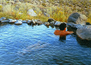
This wide road leads out to multiple dirt roads that peel off in every direction. Many Eastern Sierra Hot Springs can be found out here – on the east side of the highway. No hot spring resorts, no facilities, no clothing & very primitive.

Bishop 4×4 route Coyote Flat
Coyote Wash leads up to Coyote Flat & out to Coyote Lake. This a a spectacular high altitude plateau overlooks the Owens Valley & requires 4 wheel drive just to get up there. Pinyons, junipers, aspens, wildflower meadows, old mines, & yes, lakes at 11,000′ elevation. Views of the High Sierra & South Lake.

Buttermilk Road – This dirt road is north turn off of Hwy 168, W of Bishop, CA. “The Buttermilks” are a popular spot among rock climbers. A great place for indian petroglyphs too!

Road# 9S21 – Glacier Lodge Road – Paved road. Creek exploring & fishing. Plenty Campgrounds. W of Big Pine CA

Horseshoe Meadows Rd – Paved route with great views over Owens dry lake bed; access via Lone Pine CA; A nice day trip to meadows & High Sierra scenery. Picnic & day hike!

McMurray Meadows Rd – south off of Glacier Lodge Rd (#9S21) just W of Big Pine CA. You can find ancient cinder cone volcanoes & cave-like lava tubes in between this long dirt road & the highway.

monacheMonache Meadows is a high elevation meadow that takes some time & determination to get to. This area is part of the Inyo National Forest, but can be accessed by either: backpacking thru the high Sierra’s or driving a high clearance vehicle thru Sequoia NF # 22S05 Sherman Pass Road, behind the Black Rock Ranger Station & Troy Meadows Campground. High clearance is needed, 4×4 maybe. Great camping sites near Olancha Peak trailhead. The area is surrounded by Golden Trout Wilderness & South Sierra Wilderness. From US Highway 395 to Kennedy Mdws & then Monache is a full day of exploring, so you may as well stay the night up there. But bring warm gear, a campfire permit & a capable vehicle.

Manzanar Routes – Back behind Manzanar Camp there are miles of dirt roads to explore. Many creeks side camp sites can be found even with a passenger car. Small trees & sage brush. Secluded camping (for free) is possible in the Eastern Sierra.

Mono Craters (Rd# 1N11) – the youngest mountain range on the continent. Just south of Mono Lake, this route skirts the pumice cones & climbs over the Aeolian Buttes, before it meets back up with Hwy 395.

Walker Creek Rd #19S01 – Oaks & creek. South of Olancha CA, look for turn off & follow dirt road up into the tight canyon.

Fish Slough Road (Rd #3V01) – open, high-desert area near volcanic tablelands. Find Indian Petroglyphs. N of Bishop, CA

keough hot tubInyo Road# 6S16 – Pine Creek Road – Creek exploring & fishing. NW of Bishop behind Rovana, also known as Round Valley, CA
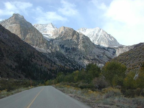
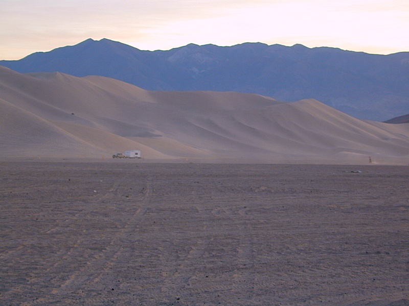
Road# 4S02 – Owens Gorge Road – N of Bishop behind Lake Crowley. Camping w/ boulders & pines. Good open sky views for stargazing.

Road# 4S86 (Inyo Rd #28E201) – Laurel Lakes Road – Camp in aspens @ Laurel lakes, high elevation; access to alpine lake trailheads; SE of Mammoth Lakes, CA

Road# 2S05 – Deadman Creek – Creek fishing in forest. N of Mammoth

Road# 2S07 – Owens River Road – Pine forest, near hot springs; no facilities. N of Mammoth

Road# 1S63 – June Lake Loop is CA SR 158 (Hwy 158) paved main route, which is often closed for winter months, due to deep snow.

Road# 1N17 North of June Lake Loop; dirt road access to Parker Lakes & Walker Lake trailheads; Side canyon routes offer (unmarked) picnic areas and fishing spots; few primitive camping options.

Road# 1S25A Parker Lakes Road– Aspen & pine forest, near creeks; E of Grant Lake / N of June Lake

Road# 1S23 Walker Lake Road – Pine forest route to Walker Lake; E of Grant Lake / N of June Lake

Impressive Canyons

BLM Sand Dunes

dumontdunes

Sand dunes are popular spots for tourists, travelers, RVers and off-roaders. Death Valley National Park has many large areas for dunes, Mojave National Preserve has the Kelso Dunes.

Fortunately, those places do not allow driving on the dunes, which is exactly what the off-road boys want to do. Sand flying, motors screaming, music blasting, bon fires blazing and no silence found until the wee hours of early morning.

Autumn, Winter & Spring are the busy months for ‘froaders in the deserts, since summer temps can soar into triple digits heat daily.

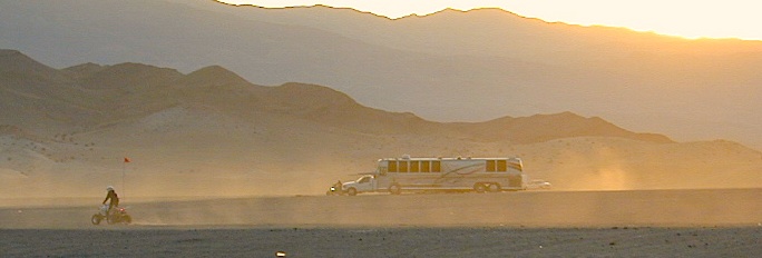
Camping out near “the dunes” is usually a big, freaking, free-for-all, outdoors with the latest in motorized toys. Recreation Vehicles encircling bonfires (camp formation for a large group), toy box haulers, trailers, families, and maybe a massive BBQ setup.

OHV (off highway vehicle)
Vehicular Recreation Area

California BLM Desert Sand Dunes

luxurycamper

Below is a list of California Sand Dunes overseen by the Bureau of Land Management.

Arroyo Salado / Ocotillo Wells
Motorcycle, 4WD, ATV, Dune Buggy / Sand Rail
Located 10 mi. west of Highway 86 on Highway 78. Rolling hills and sand washes. Designated “Open Area” consisting of 4,800 acres. Adjacent to Ocotillo Wells Vehicular Recreation Area. Near Split Mountain, Anza Borrego Desert

Dumont Dunes Mojave
Motorcycle, 4WD, ATV, Dune Buggy / Sand Rail
Located 30 mi. north of Baker on Hwy 127, off Dumont Dunes Rd. Steep and tall sand dunes. Designated “Open Area” of 8,150 acres. South of Death Valley National Park.

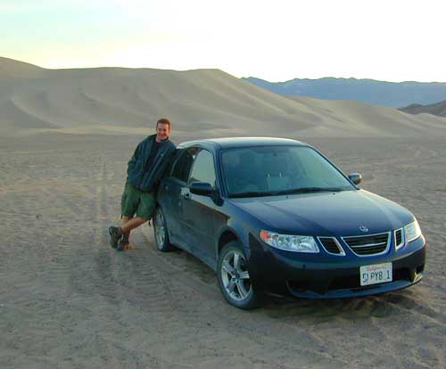
Dumont Saabaru AWD
Dumont w/ the Saabaru AWD

Glamis / Gecko Road
Motorcycle, 4WD, ATV, Dune Buggy / Sand Rail
Holiday weekends = NUTS!! Approximately 22,000 acres. Located 25 mi. east of Brawley on HIGHWAY 78. Sand Dunes. Designated “Open Area” Danger: Adjacent to military bombing range.  Contact the El Centro BLM

Imperial Sand Dunes / Buttercup Valley
Motorcycle, 4WD, ATV, Dune Buggy / Sand Rail
Approximately 11,000 acres. Located 10 mi. southeast of Niland on the Niland Glamis Rd. Sand Dunes are designated “Open Area”. Watch for closed area boundary at south end of area. CA Highway 78 near Brawley.  Contact the El Centro BLM

Mojave El Mirage / Shadow Mountains
Motorcycle, 4WD, ATV, Dune Buggy / Sand Rail
Located 10 mi. west of Adelanto on Crippen/El Mirage Road. Dry lake Bed. Heavy use area. many non-motorized and motorized recreation – including aircrafts. Area consists of 24,000 acres.

Olancha Dunes OHV
Highway US 395 @ jct 190
Thousands of acres w/ open camping, located 5 miles from Hwy 395. In between Eastern Sierra range, Olancha & Death Valley National Park. Contact the Ridgecrest BLM

Plaster City / Yuha Basin
Motorcycle, 4WD, ATV, Dune Buggy / Sand Rail
South side of Anza Borrego Desert State Park. 15 mi. west of El Centro. Located on county Highway S-80. Consists of 41,000 acres of rolling hills and desert flats. Military bombing range north of area is closed to entry.   Contact the El Centro BLM

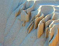
Sand Up Close and Personal
Superstition Mountain
Motorcycle, 4WD, ATV, Dune Buggy / Sand Rail
Located 15 mi. NW of El Centro via Highway S-8, Huff, and Wheeler Roads. Varied terrain consisting of 13,000 acres; dry lakes, badlands, rocky mountains, and sand dunes. Military bombing range north and south of area is closed to entry.   Contact the El Centro BLM

Rasor OHV Recreation Area
Motorcycle, 4WD, ATV, Dune Buggy / Sand Rail
Located 45 mi. northwest of Barstow, CA on Rasor Road. Sand washes and dunes, mesquite thickets. Designated “Open Area” consisting of 22,500 acres. Contact the Barstow BLM

Rice Valley Dunes
Motorcycle, 4WD, ATV, Dune Buggy / Sand Rail
Located 5 mi. south of Rice Valley off of Highway 62. Access is Santa Fe Road. Sand dunes. Designated “Open Area” consisting of 3,770 acres. Area of little use. Danger: Contaminated with unexploded ordinance.

Road to Kelso Dunes
Road to Kelso Dunes

BLM open camping hiking camping RVs 4WD

see also California Coastal Dunes at Oceano: Pismo Dunes


Sierra Road Conditions

Sierra Nevada Road Conditions – Highway California

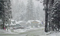
Snowy RoadsWinter Snow/ Winter Roads Sierra Nevada:

On rare occasions the Golden State freeway – Interstate 5 can be closed due to snow; N of Valencia on the Grapevine (near Lebec) or more likely up in NorCal (near Shasta).

Interstate 80 (aka Donner Pass) is often closed during big storms. Luckily there are hotels in Auburn or Truckee.

Highway conditions on mountain passes higher than 4000′ elevation can be unpredictable in winter months (Oct-May). It may be fine & just sprinkling @ 2000′, but a few miles up can be a white out. Ask anyone who’s ever driven the infamous Donner Pass in winter time. (more on Donner Party)

Annual Sierra Highway Closures

Ski mountains

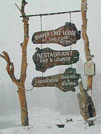
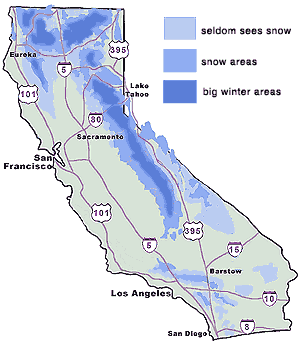
shaver lakeWhere does it Snow in California ?
Okay, okay ….so it’s nothing like those dreaded East Coast winters, but hey, some parts of California do get some serious snow. (see elevations) And the newbies who don’t prepare for it will be sorry. On the winter vacation travels, be prepared for almost anything, especially in the Sierra’s & Northern California.
Snowy towns in California

See California Weather & Road Conditions

California Winter: When does winter actually ‘set in’ for California?

Eastern Sierra CA: OCT- MAY
Western Sierra CA: NOV- APR
High Sierra CA: SEPT- MAY
North Coast CA: OCT- MAY
Northeast CA: OCT- APR

The following mountain roads are partially closed or totally closed during winter months. Please check road conditions before you leave for your trip. Chains may be required in most mountain areas of California.

CALTRANS web site

Highway CA County Region Connecting Towns
Hwy 155 Kern Southern Sierra Alta SierraWofford Heights
Hwy 190 Tulare Western Divide Hwy Camp NelsonPonderosa CA
M 375 Tulare Sequoia NP Hammond – Mineral King
Hwy 180 Tulare Kings Canyon NP Hume Lake – Cedar Grove
Whitney Portal Rd Inyo Eastern Sierra Lone Pine – Mount Whitney
Onion Valley Road Inyo Eastern Sierra Independence – Onion Valley
Glacier Lodge Rd Inyo Eastern Sierra Big Pine – Glacier Lodge
Lake Rd Hwy 168 Inyo Bishop Area Hwy 168 – South Lake
Hwy 120 Mariposa Yosemite NP Yosemite Lee Vining CA
Hwy 120 Mono Mono Lake Lee ViningBenton Hot Springs
Hwy 108 Mono Eastern Sierra DardenelleSonora Jct. Hwy.395
Hwy 89 Alpine Eastern Sierra MarkleevilleLake Topaz
Hwy 4 Alpine South Lake Tahoe Lake Alpine – Hwy 89
Hwy 44 Shasta Lassen Volcanic NP Manzanita Lake – Mineral CA