Tag Archives: pools

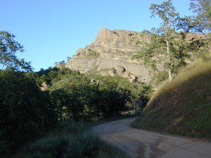
Rock Creek California

rockycreek

Rock Creek, CA
California Rock Creeks

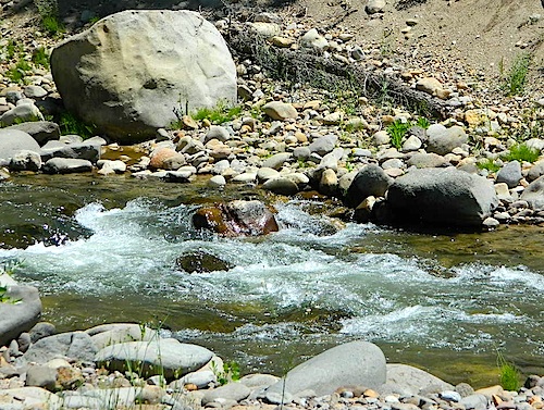
Due the nature of gravity, erosion and heavy rocks, creek beds tend to be rocky ravines near mountains – which collect rocks as they slide downhill. Creeks work as water drainage off the mountains. Inside California we have plenty of mountain ranges and plenty of movement, as the Pacific plate plows into North America, tectonically speaking.

How many Rock Creeks are inside the golden state of California? Heck, I dunno. Let’s try to find them all.

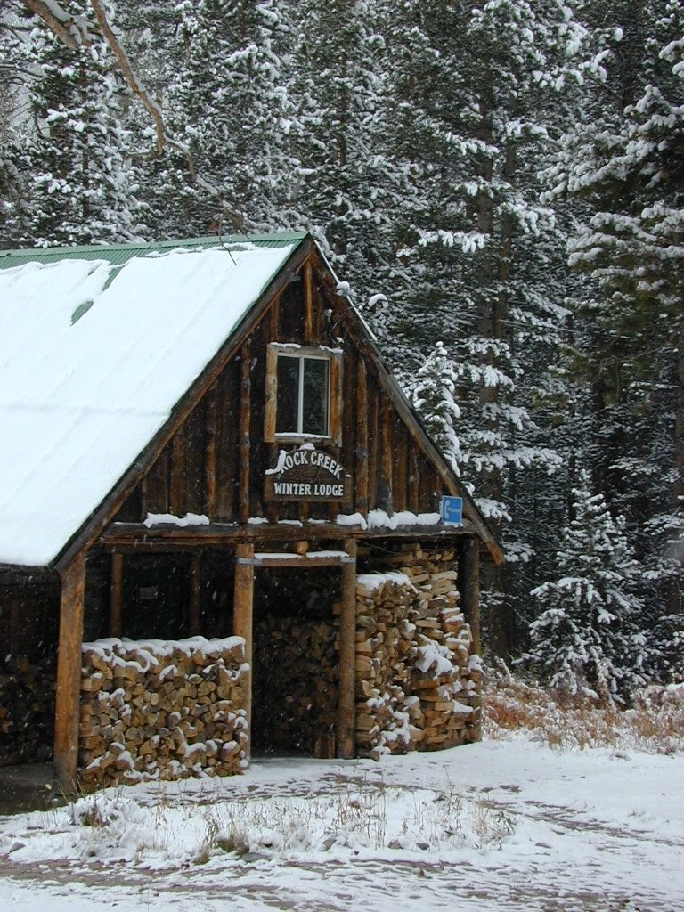
winterlodge

Probably the best known, is the one near Mammoth Lakes, CA

Eastern Sierra

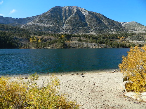
Small Beach at Rock Creek Lake

Rock Creek @ Mammoth

Rock Creek Road, Eastern Sierra
Inyo National Forest
Road #4S12
ROCK CREEK LAKE
NFS CAMPGROUND (9600′ elev w/ 66 sites)
GROUP CAMPGROUND (reservations required)
RESORTS
CABIN RENTALS
Road #6S05
WILDERNESS TRAILHEADS – Mosquito Flat, Little Lakes Valley Trailhead, Mono Pass, Morgan Pass, John Muir Trail (JMT), Pacific Crest Trail (PCT)

US395

US 395 @ Rock Creek exit is Toms Place, CA
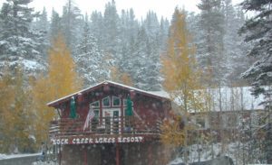
rockcreeklakeresort

fallflames
Eastern Sierra Rock Creek Rd
ruggedwalls
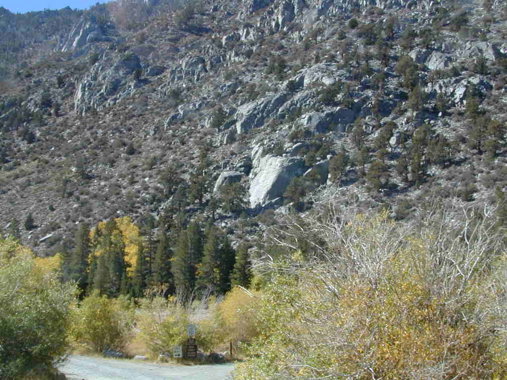
Rock Creek Canyon, Eastern Sierra

driftwood

Northern Sierra

camp

Plumas National Forest – west of QUINCY, CA
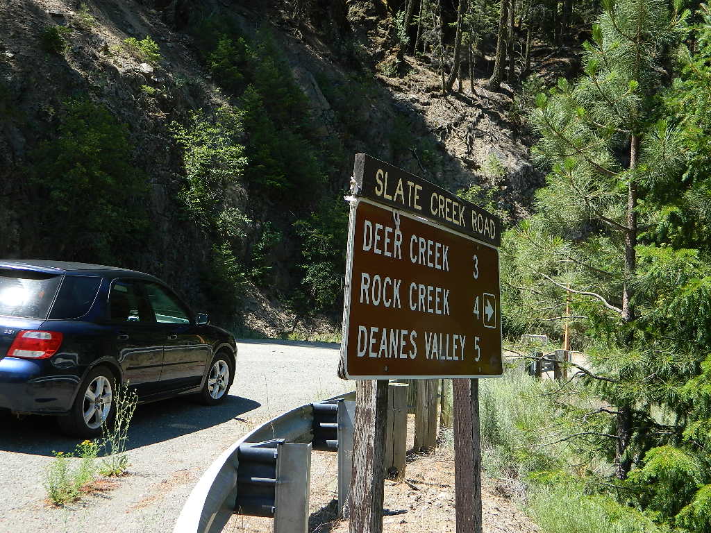
Dirt road campground

NFS Rock Creek Campground @ Plumas, located on a dirt road #24N28, off of paved Bucks Lake Road

NFSlogo

DIRT ROADS
MEADOW
CREEK

nearby WILDFIRE BURN SCAR

hiker

Feather River Canyon

Rock Creek, Highway 70
North fork Feather River

Large feeder creek from the north side of highway (California SR 70), in Plumas National Forest. Located in the popular railroad canyon known as the Feather River Canyon. Right here Rock Creek even has a reservoir.

Sugar Loaf Mountain elev 3553′ with Tobin Ridge line each side of Rock Creek as it descends the mountain tops. The junction where the creek meets the big river is just south of Bucks Creek Power Station @ STORRIE, CA. The overall location is half way in between OROVILLE, CA and QUINCY, CA

driftwood

Western Sierra

Off Road Gold Country, Sierra foothills

Rock Creek, Western Sierra4x4
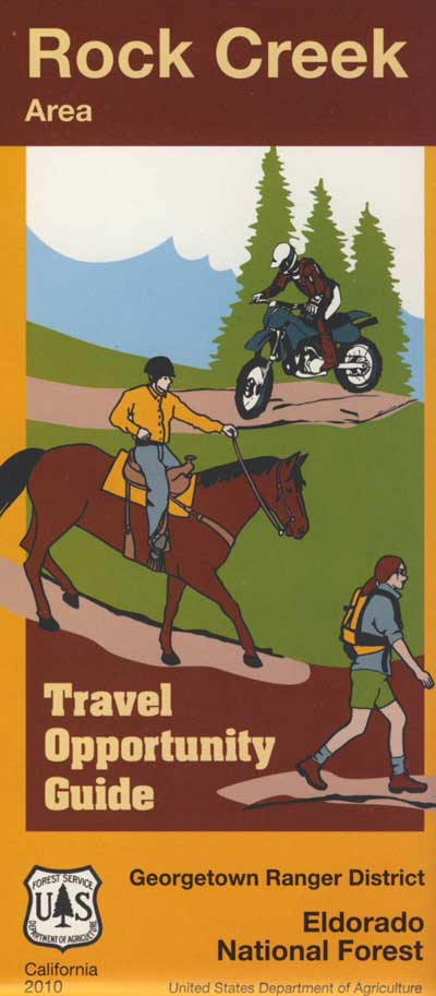
Eldorado National Forest
HIKING & HORSEBACK
OHV TRAILS
4×4 CAMPS
Georgetown, CA
RUBICON TRAIL @ LOON LAKE

RockCreekOHV


driftwood

Southern Sierra

How can we forget creek camping & trail access south of Shaver?
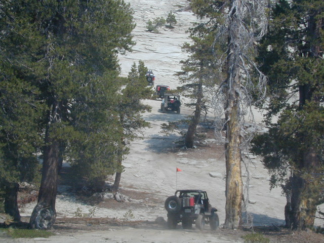
bald mtn
Jeepers on granite @ Bald Mountain, above Shaver Lake, CA

Shaver Lake, Sierra National Forest

Rock Creek Road, Southern Sierra
Dinkey Creek Area
Sierra National Forest
PRIMITIVE, DISPERSED CAMPING
4×4 TRAILS
BALD MOUNTAIN elev 7832′
DINKEY DOME elev 7697′
DUSY IRSHIM TRAIL
Shaver Lake, CA

driftwood

But wait, we have more California Campgrounds named Rock Creek

camp

Mammoth Reservoir
Mammoth Pool Reservoir

Rock Creek Campground – Mammoth Pool Reservoir, south of Yosemite National Park, behind Bass Lake, CA Sierra National Forest (18 camp sites)

Rock Creek Campground – US Hwy 101 NorCal Redwood forests, north of Leggett, CA. Camp located on the Eel River, in the Standish Hickey State Recreation Area. (36 camp sites)

Also the is a small ROCK LAKE located inside Lakes Basin Recreation Area, northern Gold Country @ Yuba River headwaters. Hike-in access only.

Rock Front OHV

Similarly named ROCK FRONT RANCH is 4×4 trails & 4WD camping area. Cool wind caves, super steep driving terrain (Granny low anyone?) and of course, wildflowers.

Los Padres National Forest 

Off Highway 166, east of the city of Santa Maria & US 101 – on the Central Coast of California. Way back there, at the edge of the forest, behind the wineries!
Rock Front Los Padres
Rock Front Ranch in Los Padres NF

dirtbikes


Mono Hot Springs

High Sierra Nevada
Mono Hot Springs

Sierra Snowmobile Destination

Mono Hot Pools @ San Joaquin River
Sierra National Forest

Best of both worlds, way back in the boonies – two primitive tubs soaking perched on a soggy hill next to a big river, developed campground below, and a small resort w/ cabins, camping, restaurant and private soaking areas on the other side of the river.

Sierra hot springs15 mi. NE of Huntington Lake off Kaiser Pass Rd. Huntington Lake & Hwy. 168

Two squared cement tubs overlooking the San Joaquin River, deep in the Sierra Nevada Mountains.

The coolest thing about this primitive hot springs is that it is a great destination for a one day snowmobile adventure. Rentals are in the nearby community of Lakeshore & the plowed paths are fairly easy to follow. If you plan on visiting the springs, you must not play around in the meadow much, there is plenty great Sierra scenery to be had. The snomo trip is a good 5 hours round trip with a lunch break & dip at mineral spring tubs.

  • backpacking
  • boating
  • camping
  • cross country skiing
  • fishing
  • hiking
  • horseback
  • kayaking
  • mountain biking
  • mountaineering
  • snow mobiling
  • stargazing
  • swimming
Sierra Snow-Mobiling
Sierra Snow-Mobilin’

snomo sierra hot springs

Kasier Pass WildernessWinter: road is closed half the year due to heavy snow. Summer: snow is gone and the road is open.

KAISER PASS ROAD
Large motorhomes, RVs are not allowed on this long, steep, narrow paved route.

Max vehicle length: 25 feet

Take Hwy.168, turn right on Kaiser Pass Rd, just past the big ski resort. Pass the large meadow & follow signs to Mono Springs & Lake Edison. Make sure not to miss the left turn or you may end up at Florence Lake.

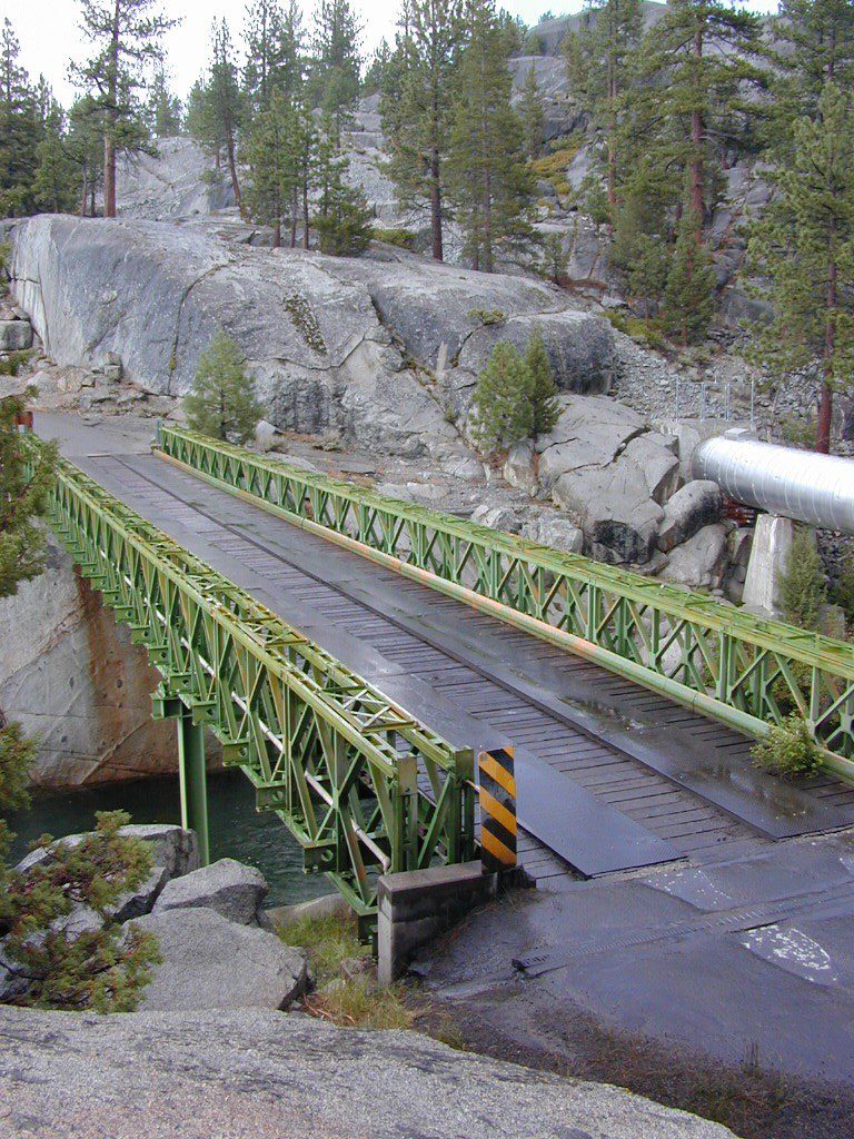
Parking near the green bridge over the San Joaquin River & hike over to the tubs on the hillsides. If there are other vehicles parked here, expect to see naked people nearby; Soaking should never be rushed. Clothing is optional – in California.

Green Bridge at San Joaquin Headwaters
camp

Mono Hot Springs Campground NFS

• Elevation: 6700′
• Number of Sites: 30
• Vehicle Accessibility: RV 25′
• Camp Fee: Yes
• Campsite Reservation: Yes
• Toilet: Vault
• Length of Stay: 14 Days
• Season: June – September
• Trailheads: Ansel Adams & John Muir Wilderness

NOTE: This USFS Campground, should not to be confused with the neighboring business, a privately run camp called –

Mono Hot Springs Cafe w/ Cabin Resort

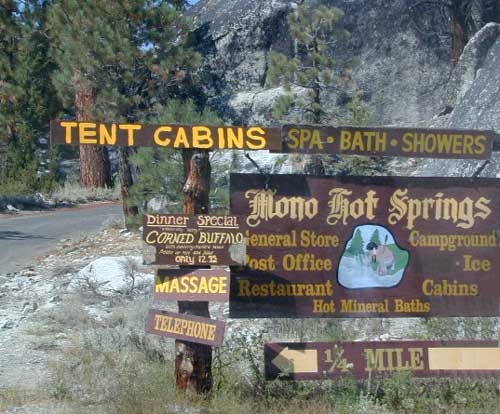
Mono Springs Sign

closest forest, lakes, & destinations:NFS

topo maps for this region:

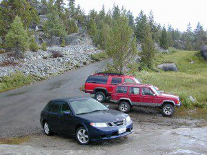
Parking Spot

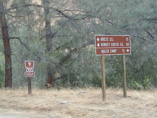
Sierra NF – Road #9

sierra10S69

Sierra National Forest
Big Creek Road #9

aka. Rd #10S69

Connects Pine Flat Reservoir @ Lower Kings River, to upper elevation Sierra forests near Dinkey Creek Road. McKinley Grove of Sequoia

Sierra Road number 9 is a north turn off of Trimmer Springs Road. Marked as National Forest Rd #10S69, as well as just plain NINE. Big Crk. canyon is after the Maxson Road junction, and before the Balch Camp / Blackrock Reservoir turn off on #11S12. The area is known for abundant wildflowers in the early season.

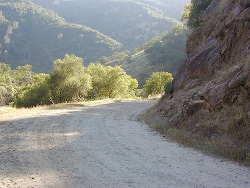
dirt road climbs 25+ miles thru Sierra NF

sierra9

  • back road exploring
  • camping
  • fishing
  • hiking
  • hunting
  • kayaking
  • picnic areas
  • swimming
  • wildflowers
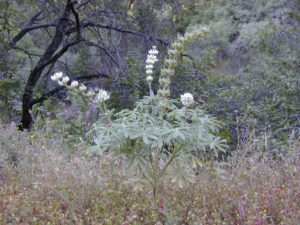
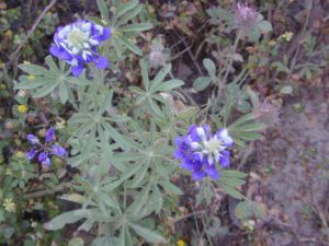
Tall White Lupine
Tall White Lupine

Big Creek Rd 9

A popular dirt road drive for the western Sierra – Pine Flat Lake region. A forested, south facing canyon in the Southern Sierra Nevada Mountains. Big Creek, wide, graded, dirt road w/ primitive camp sites. 4×4 could be needed in wetter months.

The higher you go on this route, the more pine trees you will experience. Winter weather can close this route. A campfire permit is required to camp along this road.

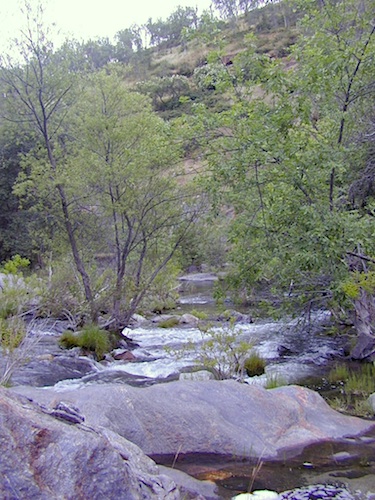
The lower part of the canyon has rock features, small waterfalls, swimming holes, picnic spots and sometimes cattle grazing. Several prime unmarked, primitive camp sites along this road – but few and far between. High clearance or 4WD may be needed, depending on road conditions.

sierra hiker

Soaproot Saddle Road is a not-so-obvious left fork (dirt, without signs) that leads steeply up away from main road. Climbs a steep hillside, way up above and along Rush Creek; continues for many miles. Less people back this way, if you are seeking seclusion. Few primitive camp sites on right side of road, near where the creek breaks away from road. Good for stargazing way back here. 4×4 may be needed. Road may or may not connect through to desired destination.

The mid-route climbs into pine forest and the dirt road switchbacks, steeply, with a few more camp sites available; usually found on short side roads off the main road.

sierra creek camps

At Sierra #9, a major junction w/ dirt road #10S69, called Dinkey Trimmer Road. This leads way off through the rugged terrain, many miles, over to the pavement at Dinkey Creek Jct – Campground, Trailhead and Dinkey Lakes Wilderness.

Big Creek will turn left (north), and follows the large Big Creek Canyon. Several steep miles climb up into the dense pine forest, following the creek the whole way. Several prime creekside camp sites fill up fast in this stretch. Great views, steep dirt roads. GPS waypoint these camp driveways – so you can find it next time, (first, before everyone) on Friday, Thursday before midnight.

Peterson Mill Road is Rd #10S02, found on the left (west) side of Sierra #9. That westbound route becomes pavement half way back to Highway 168. This way is the quickest way from Fresno, out to the developed NFS Bretz Campground.

Sierra #9 Big Creek Road arrives in the densest of forests. Many camp sites and side routes to explore. Dark, upper elevations, snow lingers long in the shade. 4WD may be needed in wet areas. Mud is quite common MOST of the year in this spot, so know your vehicles capabilities before you get yourself stuck (or stranded). It’s a very long walk to any kinda civilization!

Hunters like to use these upper camps during hunting season. A camp fire permit is required, so bring your shovel and bucket; self-sufficient campers enjoy the back roads most often.

wild sierra flora

Bretz Campground NFS is up here on the main road, number nine. Clock it w/ dash trip meter; 15 miles from the road start @ Pine Flat Lake. Popular with OHV and 4×4 groups. Max RV or trailer length = 24′
Open all year long; No fee.

Sierra Forest Road #9 the far north end, enters Blue Canyon @ #10S18, but the Rd #9 route continues NE as Providence Creek Road. Eventually intersecting @ Dinkey Creek Rd w/ Rock Creek & Dinkey Dome closeby. Great granite 4×4 Trail @ Bald Mountain (elev. 7832′) overlooking Shaver Lake.

Jeepers on granite @ Bald Mtn, above Shaver Lake, CA

Kings River Camping

2 tone lupine

SIERRA MAP
sierra National Forest map

places nearby –
shaver lake map

Balch Camp (utility & NFS)
Black Rock Reservoir
Courtright Reservoir
Dinkey Creek
Huntington Lake
Lakeshore, CA
Pine Flat Lake
Shaver Lake, CA
Trimmer Springs
Wishon Reservoir

Agua Caliente Hot Springs

Agua Caliente Springs

Agua Caliente County Park
Agua Caliente Anza Borrego Desert
Agua Caliente Hot Springs

East San Diego County
N of Ocotillo, CA

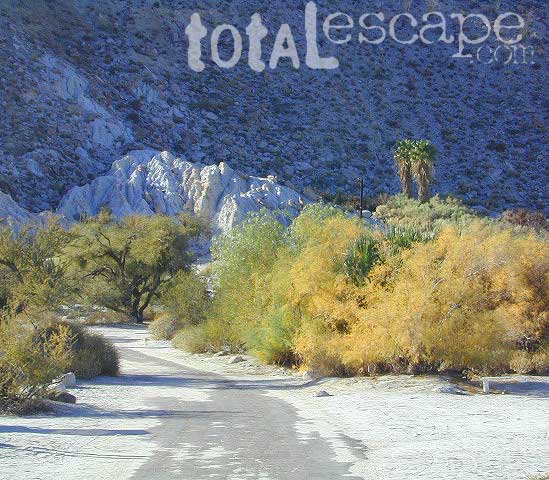
Anza Borrego Desert MapAgua Caliente Hot Springs County Park is a remote 910-acre San Diego County Park next to the Anza Borrego Desert. A developed hot springs, picnic area & a large campground. This desert destination is perfect for California winter recreation, offering a small air strip for small plane pilots.

Located North of Interstate 8 on San Diego Road S-2 on the south end of Anza-Borrego Desert State Park. Local mountain’s seismic forces created the fault that runs beneath this region & forces water up to tRV campground Anzahe desert surface. A decent water supply also supports plant life & wildlife.
For minimal crowds AVOID THIS PLACE on holiday weekends or peak winter months. Spring & Autumn are excellent times to visit here, but watch the weather forecast for any heat waves. Who wants to soak when it’s 100 degrees outside?

2 natural hot mineral pools:

  • large outdoor pool is kept at natural 96 degrees
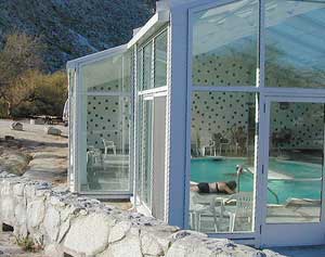
  • glass walled indoor pool is heated & has bubbling jets
  • spring-fed, warm showers are available
  • hiking trails, horseshoe & shuffleboard

Indoor Pool

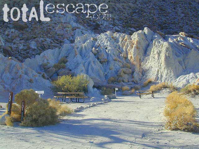
Agua Caliente Campground

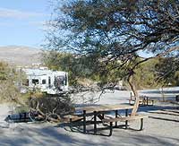
140 campsites – tent sites & RV hookups w/ dump station. Shady trees only at some camp sites. Indoor pool, outdoor pools, maybe a hike-in primitive tub too. Individual campsites may be reserved up to 12 weeks in advance 858-565-3600

  • Anza Borrego Desert Map
  • San Diego Backcountry Map

  • View Larger Map

    Anza Borrego Hot Springs
    Several nice camp spots line this canyon on the north side.