Lake Davis @ Plumas National Forest
elevation 5886′
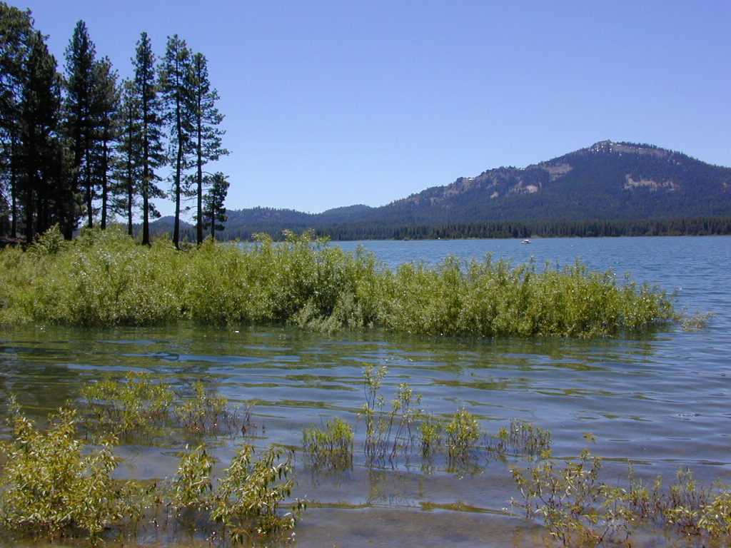
Three paved roads access Lake Davis which is located north of Highway 70. Residential areas exist on the south side of the lake, which is 7 miles north of Portola, CA
Grizzly Ridge (elev 7000′) is located on the westside of Lake Davis, East of Quincy, CA
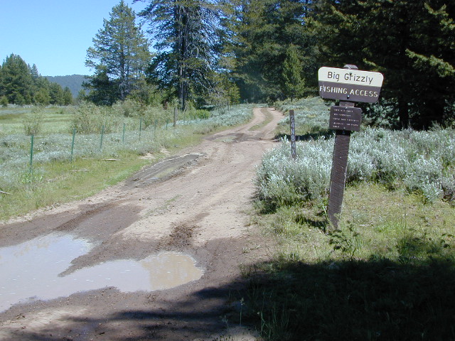
Beckwourth Taylorsville Road #112 (a dirt road) follows Little Grizzly Creek down from Genesee, and flows into this rural reservoir. Grizzly Valley Dam, also known as the Grizzly Creek Dam, reinforced the lake when it was built in 1967.
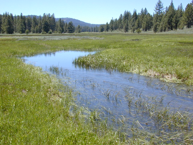
Quiet Lake Davis
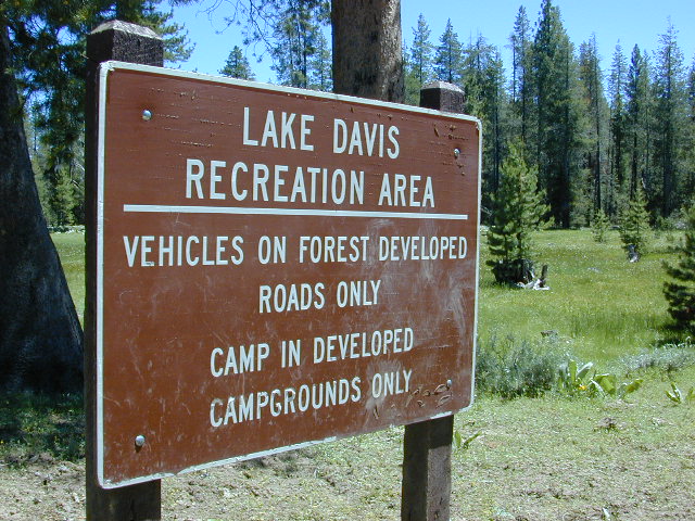
Lake Davis Recreation Area offers a wide variety of outdoor experiences for summer including: camping , picnicking, fishing, hunting, boating, mountain biking, swimming, and wildlife viewing. Waterskiing and jet skis are not permitted. In the winter, ice fishing, snowmobiling, and cross-country skiing are popular activities.

Frequent strong winds can cause the lake to become very hazardous for small craft. Boat Ramps at Camp Five, Honker Cove, Lightning Tree and Mallard Cove. Launching facilities have loading docks, paved ramps, parking and restrooms, and they all charge a fee.
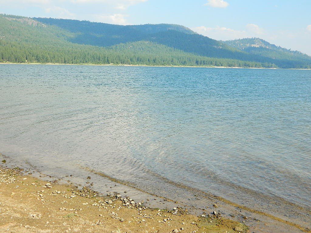
Relatively uncrowded lake in the Northern Sierra, this location is often overlooked by travelers for more the popular, larger lakes. Locals use this location for outdoor recreation.
Plumas National Forest
-
bird watching
-
boating
-
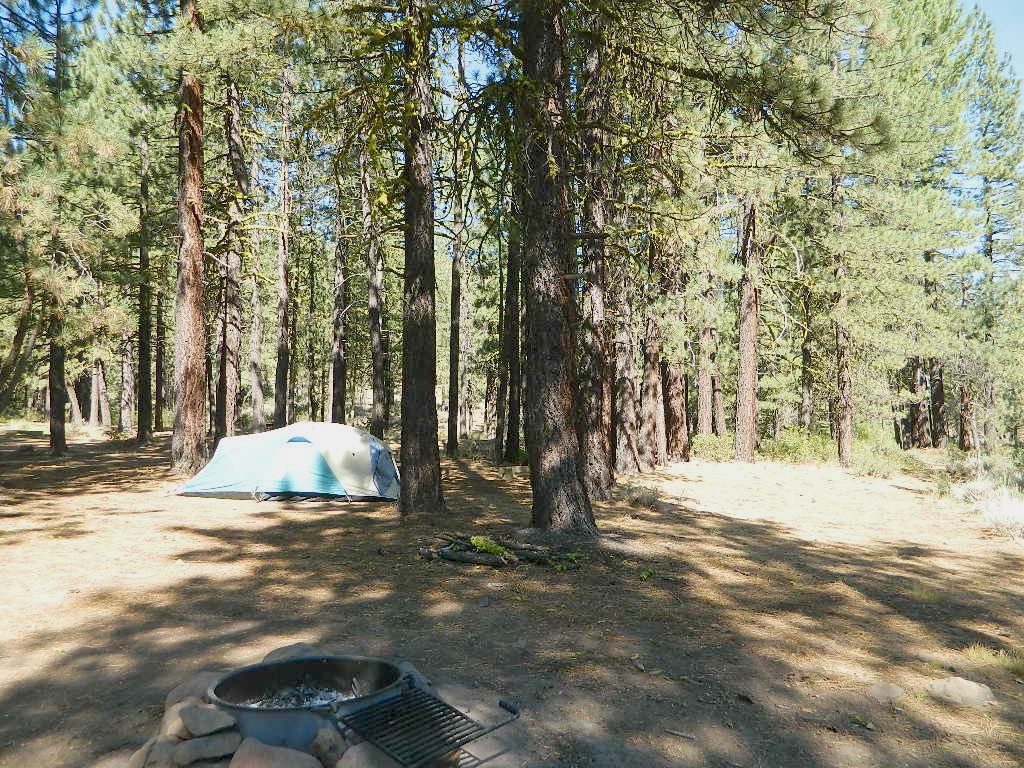
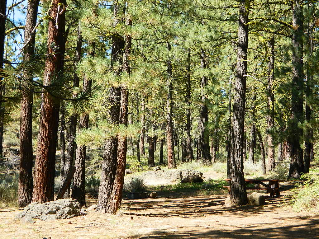
camping
-
cycling
-
fishing
-
forests
-
hiking
-
horseback
-
kayaking
-
meadows
-
mountain biking
-
stargazing
-
wildflowers
-
wildlife viewing

The developed campgrounds are located on the southern end of the lake. The backside of the lake is mostly made of up creeks, meadows, forests, dirt roads, wildflowers and abundant wild life.
recent wildfires:
Dixie Fire 2021
Beckwourth Complex 2021
Walker Fire 2019

Closures at campgrounds – due to DixieFire cleanup are possible. Always have a plan B; Or secure your campsite w/ a reservation, for a fee
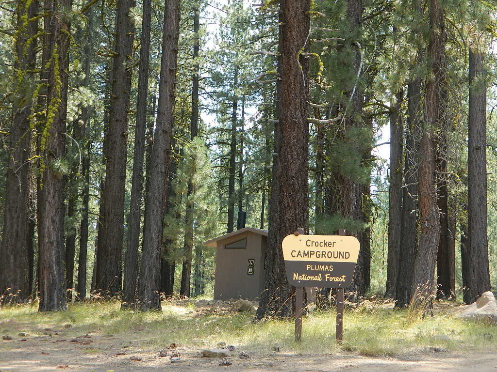
NFS Campgrounds near Lake Davis, California
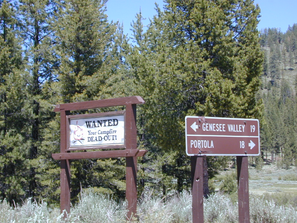


NEARBY TOWNS:
Portola, CA
Quincy, CA
Taylorsville, CA