Tag Archives: recreation

California Mountain Maps

The Mountains of California
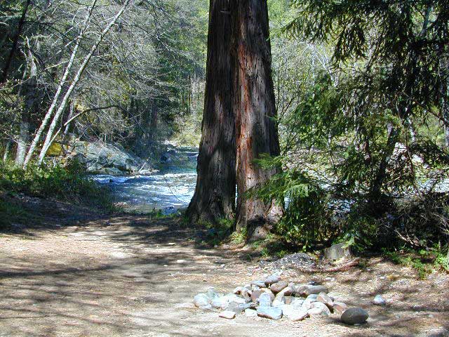
Camping El Dorado NF, on the Consumnes River

If you know you wanna head up in elevation, higher altitudes – to the pine forests of California, but have no clue where to start, this page may be very helpful in determining your ultimate destination. We have hundreds of pages on adventures & locations throughout the golden state. We sell all California maps for outdoor recreation, hiking topos to off road routes.

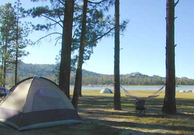
Wanna camp under the stars this weekend – and avoid the crowds too? You will need a good back road map to find this awesome camp site, guaranteed. Need a hammock spot, small swimming hole & total seclusion? Or how about a large family camp w/ Sequoia grove nearby? Total Escape has something for every ones budget & lifestyle. See below for an extensive breakdown of California mountain regions.

#1
SoCal mountains have tighter restrictions on campfires, larger number of people camping in a smaller amount of space, minimal primitive camping options in the forests, more fees to access these lands.

#2
The Sierra Nevada mountains are the prime outdoor destination for many in the Central California region. High elevations w/ granite slabs to lower country reservoirs & riverside oak flats. Folks come from all over the world to visit parks and lakes within this mountain range. Indeed, 4 National Parks call the Sierras home: Lassen, Yosemite, Kings Canyon and Sequoia NP – not to mention the 10 National Forest and 15+ Wilderness Areas.

#3
You want big water? Cabins next to a prime fishing river or camping near lakes, creeks with dense forests, then you will have to drive to the mid Sierra or even NorCal to find ’em.
Wilderness maps

California Mountain Regions Defined –
find the details on specific region for California mountains

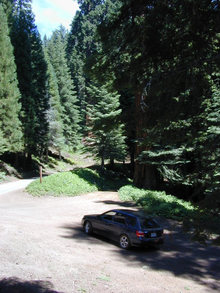
saabaru_forest
Mountain Home Sequoias

epic finds

Find little known parks, camps and forests within our vast California BACK ROADS data base. Below is a small sampling of our picturesque mountain pages, where you can find the best seclusion: hiking, camping, fishing, mountain biking trails, rivers, creeks and peaks.

NFSlogo

Sierra Buttes
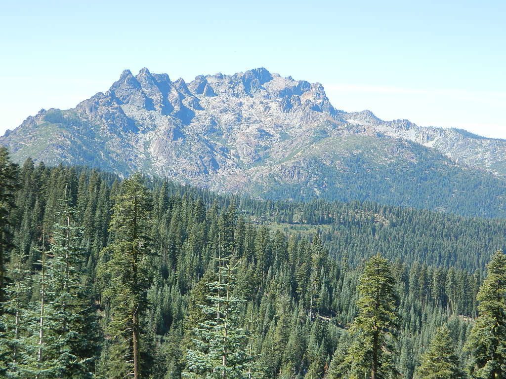
The Sierra Buttes, Northern Sierra near Gold Lake

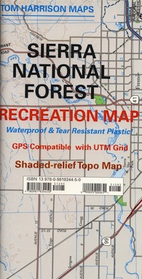
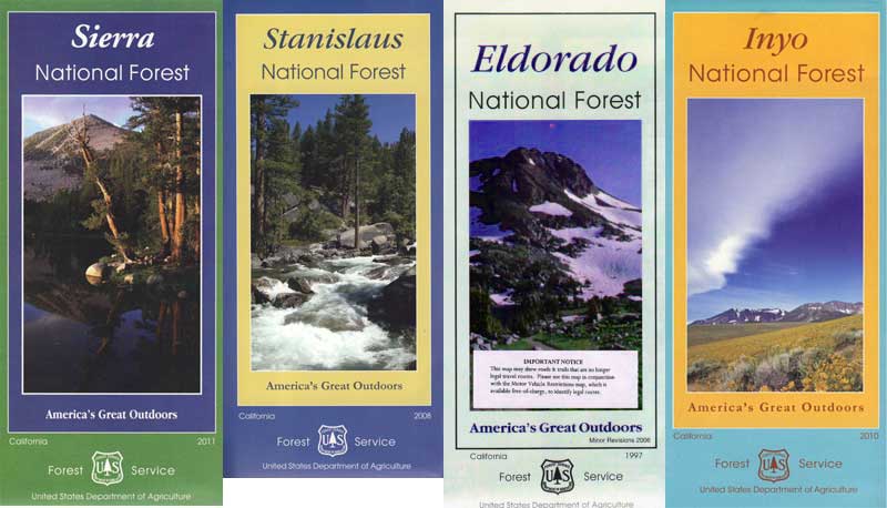
sierra National Forest map

Outdoor Recreation Maps of California:

inyohighroad
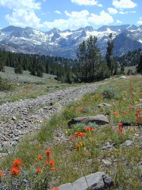
Inyo high roads, of the Eastern Sierra


Sacramento River Camping

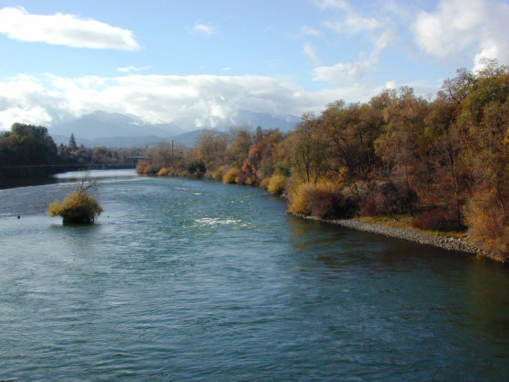
The Sacramento River of Northern California

The main artery from the North; the Big River of California

Sac River California

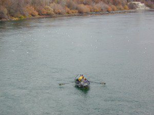
Mighty Mount Shasta snowmelt flows south, bound to meet the giant Lake Shasta, which merges with the Pit River and numerous other major waterways, becoming the big Sacramento River. Running right down the center of the North Sacramento Valley to merge into the California Delta. Shipping channel links the State Capital city of Sacramento with the San Francisco Bay and the Pacific Ocean. Agriculture and wildlife depend on this river heavily.

tent camping camp sites, campground camping, RV camps, dump stations, marinas, bait, gasoline, public boat ramps, boating, fishing, kayak rentals

Redding Winters

CAMPGROUND PARKS below listed from NORTH to SOUTH

JGW RV Park
Riverland Drive
South Redding, CA

Sacramento River RV Park
Riverland Drive
South Redding, CA

Wildlife Refuge
Sacramento River National Wildlife Refuge
Willows, CA
~ Camping is not permitted on the Sacramento NWR. Along the Sacramento River, camping is permitted on GRAVEL BARS for up to 7 days during a 30 day period. For waterfowl hunting, overnight stay is permitted in a vehicle or RV in designated areas. Tents are prohibited. No person may build or maintain fires except in portable gas stoves.

Orchards

Chico Area

Lake Red Bluff Recreation Area
Red Bluff, CA

Driftwood RV & Fishing Resort
@ Mill Creek Park
Los Molinos, CA

Hidden Harbor Marina & RV Park
Los Molinos, CA

River’s Rest Resort
Los Molinos, CA

Woodson Bridge RV Park
Corning, CA

State Parks
Woodson Bridge State Recreation Area
Historic State Park w/ Campground
South Avenue (A9)
Corning, CA

Bidwell-Sacramento River State Park
Chico, CA

Colusa Landing & RV
Butte Slough Road
Colusa, CA

State Parks
Colusa-Sacramento River State Recreation Area
Colusa SRA Camping

Camping Colusa
Tent Camping Colusa SRA

California Delta Region

State Parks
Brannan Island State Park
Rio Vista, CA

Sandy Beach Solano County Park
2333 Beach Drive
Rio Vista, CA

Vieira’s Resort
California Delta
Isleton, CA

State Parks
Old Sacramento State Historic Park
Downtown
Sacramento, CA

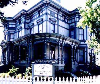
Sacramento Hostel, see more budget lodging

Central Valley CA

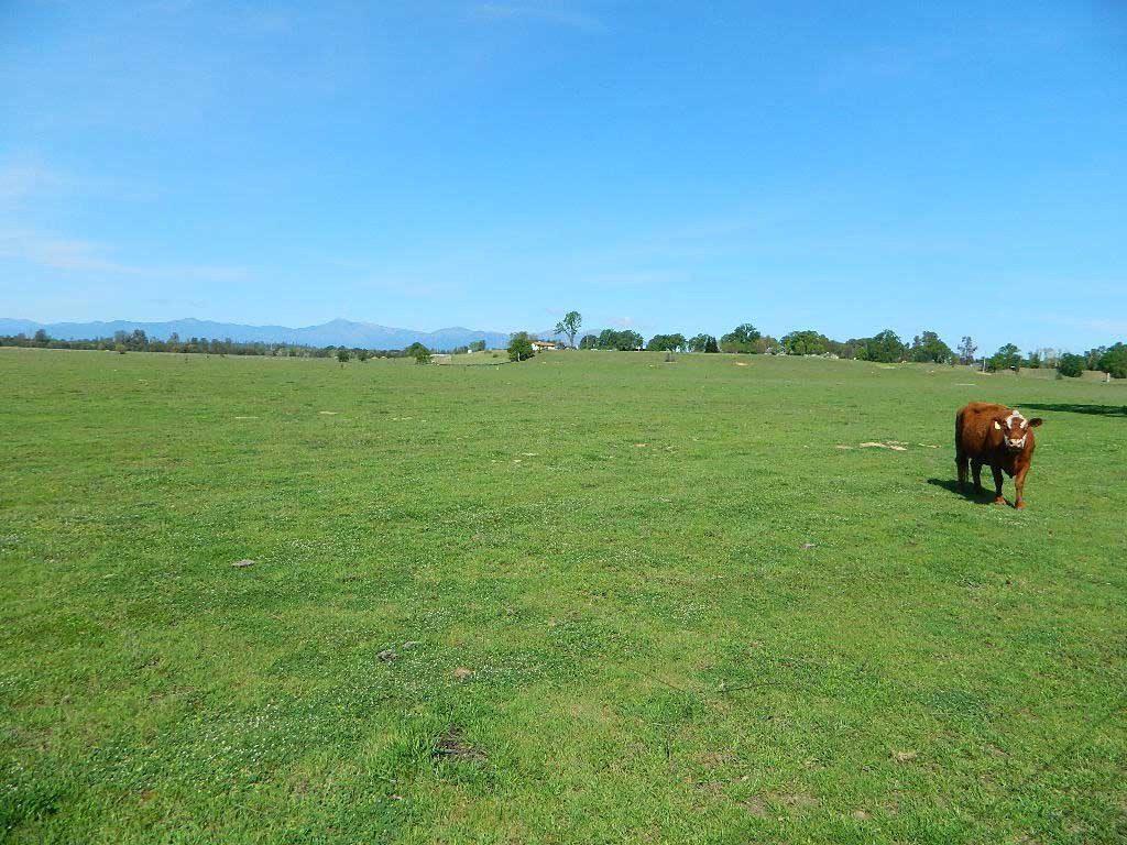
happyvalleycow
Happy Valley Cow

The Great Central Valley of California – the San Joaquin Valley (on the south side) & the Sacramento Valley (on the north) together make up some of the most fertile farmland on the whole West Coast. Agriculture thrives, water flows & smog settles.

This huge valley, bordered by the Pacific Ocean on the west & the Sierra Nevada mountain range on the east side, is the one of the biggest farm land regions of the U.S. The food that feeds the world is grown right here in the Center of California. Vegetables, rice, fruits, citrus, garlic, onions, nuts, you name it.

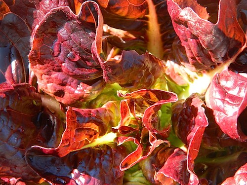
redlettuce

Central Valley residents can easily enjoy fresh produce year round. Centrally located they can access the neighboring Central Coast, Historic Gold Country, and the Sierra Nevada mountains, plus The City (San Francisco) is not too far away either.

Since the capital city of Sacto has a “port of entry”, the California Delta & surrounding waterways, make for excellent fishing, boating & camping.

Unfortunately this low lying area is one of the worse smog basins on the west coast. The upper & lower Central Valley see the worst of it, as wind pushes the emissions right up against the mountains. Triple digit temperatures are common throughout the summer months. The super heat just magnifies the poor quality of air.

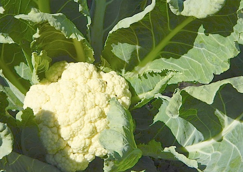
cauliflower

California Country – CA Countryside Communities

California Central Valley Map

Counties, Cities & Towns of the San Joaquin Valley:
(south to north)

Kern County
Tulare County
Kings County
Madera County
Fresno County
Merced County
Stanislaus County
San Joaquin County
Solano County
Sacramento County
Yuba County
Sutter County
Yolo County
Colusa County
Glenn County
Butte County
Tehama County
Shasta County

Reservoirs

blue links lead to more info on camp services. camp RV Camping

Central Valley Parks & points of interest:

Henry W Coe State Park
George J. Hatfield State Recreation Area
Carnegie SVRA
Dos Reis County Park, San Joaquin River
San Juan Bautista State Historical Park
Hollister Hills OHV Park
Pinnacles National Monument
Hernandez Reservoir
Los Banos Creek Reservoir
Caswell Memorial State Park
Colonel Allensworth State Historic Park
Codorniz CampgroundEastman Lake
Kern National Wildlife Reserve
Kesterson National Wildlife Reserve
San Luis National Wildlife Reserve
Merced National Wildlife Reserve
Modesto Reservoir Regional Park
Honey Run Covered Bridge
Oroville Wildlife Area
Spenceville Wildlife Management & Recreation Area
Lake Oroville State Recreation Area
Mount Diablo State Park
Auburn State Recreation Area
Sherman Island Waterfowl Management Area
Grizzly Island Waterfowl Management Area
Cache Creek
Sutter National Wildlife Reserve
Gray Lodge Wildlife Area
Colusa Sacramento River State Recreation Area
Colusa National Wildlife Reserve
Delevan National Wildlife Reserve
Sacramento National Wildlife Reserve
Mill Creek Wilderness
Ishi Wilderness
Tehama State Wildlife Area
Red Bluff Recreation Area
Shasta-Trinity NRA
Whiskeytown Reservoir NRA

California Central Valley Lakes & Reservoirs

walk in camps

for more lakes in California, check the BIG LAKES LIST

Hiking Lake

Guide to Hiking Lakes in California

lakes Southern California

This is California – the beautiful, where millions flock on vacation. California is crowded: the population & tourists are only increasing each year. Thousands of people are looking for hiking mountains or better, a hiking lake – each weekend. Many are using the web for destinations, like the research you are doing right now. All folks seeking nature, water, cooler temps, fresh air & views. High Sierra, NorCal, SoCal Reservoirs, we list the best of these hiking lakes below.

Some of the lakes have mountaineering routes nearby; equestrian trails, regular hiking trails, campgrounds, some even have sorta level paved (granny) trails for biking, hiking & skating around.

High elevation or alpine lakes can be accessed best in summer months. Mountain bike, backpack, horseback into these hidden treasures. With any Sierra Nevada destination, snow pack deep can be in certain seasons. Major Highways (Sierra Passes) can be closed into June or July, due to rock slides and late snow melt. Snow shoes, snowmobile or 4×4 vehicles may be needed to reach such lakes, any months OCT-MAY (fall to spring). Winter can come early & stay late at these higher elevations of California; Be prepared for true Wilderness experience.

But maybe you are just looking for some easy hiking, loop trails & picnic spots; Or perhaps an overnight stay near a lakeside camp w/ kayak rentals. California reservoirs to alpine lakes, we have a wide variety listed below.

This page contains links to some favorite lakes with hiking trails around the lake, along the shoreline or routes on ridge lines overlooking the lake. If no good lake page could be found, we’ve linked to some photos of the lake on Flickr.

Baja California:

SoCal:

Central California / Sierra Nevada:

NorCal:

Blackrock Reservoir in Sierra Nevada

Lakes California Map: check out all the maps we have for lakes in Cali

Tour of California

oldestrocks
Day hiking near Mammoth Lakes, CA

Tour of California, by Total Escape

DSCN1584

California has so much land and sheer beauty, it’s hard to wrap your mind around the vastness, much less the amazing and awe inspiring scenery. Snow skiing, kayaking, horseback, snowmobile, sleigh rides, dinner cruises, beer trains, wine tasting and so much more.

Drive California top to bottom (from Shasta to Baja) and you could be looking at months of prime vacation time. If you have that kinda luxury free time. If not, you might be looking for a local weekend of adventure, cave history or sightseeing. Total Escape has been featuring California tours for decades. We have something perfect just for you!

see camping & guided tours by Total Escape Adventures

Tour California

viewfromtent

Self Guided Tours of California:

viewfromtent

Looking for the CYCLING EVENT ‘Tour of California’?

kern

California Countryside Hikes

California Wine Country Hikes, Gold Country Hiking, Sierra Foothills, River Trails

DSCN1649

El Dorado Campgrounds

El Dorado Camping

Kirkwood Lake
Kirkwood Lake, California

El Dorado National Forest
Carson Pass Hwy 88, Ebbetts Pass Hwy 4, Gold Rush Country
Sierra Nevada Mountains, Alpine Lakes

campground elev spots veg toilet water notes
Airport Flat Campground 5300′ 16 vault no Ice House Reservoir
Azalea Cove Campground 4900′ 10 vault lake Union Valley Reservoir
Big Meadows Campground 5300′ 54 pines flush piped handicap access
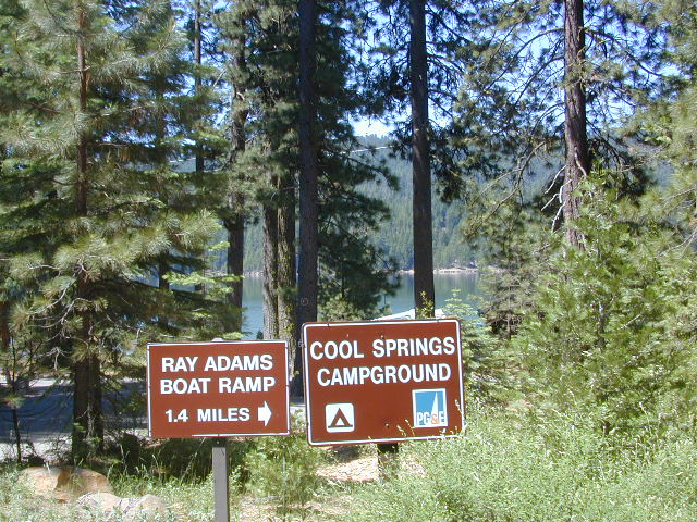
Blue Lake Lower Camp 8100′ 16 vault piped PG&E; fish, boat, camp
Blue Lake Dam Upper 8200′ 25 vault piped PG&E; fish, boat, camp
Caples Lake Campground 7800′ 35 pines vault piped fishing lake
Capps Crossing Campground 5200′ 12 pines vault piped gold panning
China Flat Campground 4800′ 25 vault piped Silver Fork Rd
Dru Barner Campground 3200′ 16 flush piped equestrian trails
Gerle Creek Campground 5300′ 50 pines vault piped handicap access
Fashoda Campground 4900′ 30 vault piped handicap access
Hell Hole Campground 5200′ 10 vault piped walk-in
Upper Hell Hole Campground 4600′ 15 vault lake Hell Hole Reservoir
Ice House Reservoir Camp 5500′ 83 vault lake handicap access
Jones Fork Campground 4900′ 10 vault lake Union Valley Reservoir
Kirkwood Campground 7600′ 12 pines vault piped narrow road; fishing
Lone Rock Campground 4800′ 5 vault lake Union Valley Reservoir
Loon Lake Campground 6500′ 62 pines vault piped equestrian; group site too
Lovers Leap Campground 5800′ 21 pines vault piped rock climbing
Lumberyard Campground 6500′ 5 pines vault RV access
Middle Creek Campground 8200′ 5 pines vault piped fishing creek
Middle Fork Cosumnes River 6780′ 5 vault crk PG&E, swim, fish
Mokelumne River Camp 3200′ 8 vault crk swim
Moore Creek Campground 3200′ 8 vault crk swim
Northshore Campground 6378′ 15 vault lake Loon Lake Campground
Northwind Campground 5500′ 9 vault lake Ice House Reservoir
Pardoes Point Campground 5900′ 10 pit no Bear River Reservoir Rd
Pipi Campground 3900′ 51 pit no handicap access
Sand Flat Campground 3900′ 29 pit no fishing
Silver Fork Campground 5500′ 35 vault piped fishing
Silver Lake Campground 7200′ 62 pines vault piped boating lake
South Fork Campground 5200′ 17 vault piped fishing
South Shore Campground 5900′ 22 vault piped Bear River Reservoir
Strawberry Point Camp 5500′ 10 vault lake Ice House Reservoir
Stumpy Meadows Campgr 4400′ 10 vault lake handicap access
Sugar Pine Campground 6000′ 10 vault no boating
Sunset Campground 4900′ 131 vault piped boating
Wench Creek Campground 4900′ 100 vault crk boating
Wentworth Springs Camp 6200′ 8 vault crk 4WD recommended
West Point Campground 4875′ 8 vault lake Union Valley Reservoir
White Azalea Campground 3500′ 6 vault crk Mokelumne River
Wolf Creek Campground 8200′ 42 vault piped boating, fishing
Woods Lake Campground 4900′ 25 vault pump handicap access
Yellowjacket Campground 4900′ 40 vault piped boating, fishing

see more about El Dorado National Forest

waterfalls

nearby towns –

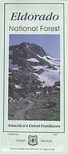
El Dorado Forest Maps –

California Camping Maps

California Campground Maps

Maps are the key to finding your very own slice of heaven in the Wilderness. Online map sources can barely get you to your city destination correctly, much less the remote waterfall you desire. You will need a real map for your adventure. A topographical map, with all the details, dirt roads & hiking trails. If you are seeking to stay away from the touristy crowds, this is the best possible place you can be…. on this site, searching for ways to make it happen – this weekend.

BACKPACKERS BACKPACKING MAPS –

maps of California
Mount Whitney, John Muir & way beyond the High Sierra. DanaMite has all the California Wilderness maps on the new map shop. Various brands and types of maps. Most are printed on waterproof plastic now & are tear-resistant.

CAR CAMPING MAPS –

El Dorado Camping
Planning on camping outside of the developed campgrounds & finding that perfect stream side spot without the reservation & the fees? Then you will need a free fire permit (from a ranger station), plus a good map of the forests & a vehicle capable of handling the rugged the back roads. Much of California is prone to wildfires, so make sure campfires are even allowed on the backroads, before you get out there. Call the “field rangers” for back road advice and current recommendations.

CALIFORNIA OFF ROAD MAPS –

Wanna take that 4×4 vehicle somewhere really special this season? Camp well beyond the masses, way down that dirt road. We have OHV maps for SoCal, the deserts & all the National Forest maps too.

CALIF CAMPGROUND MAPS –

Start your search on the perfect campground or camp site with the destination in mind. Mountains, deserts, coastal. Parks & forests all have their own maps with all nearby camp grounds listed. We feature all the National Forest maps, as well as some State Park & National Park maps

See all California topo, hiking, camping maps

Sierra Nevada maps

coolsprings

  • California A to Z
  • California Camping
  • California Elevations
  • Camp Firewood
  • Camp Potty
  • RV camping deep in the Sierra
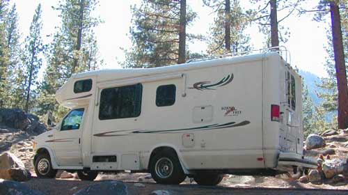
    RV camping at it's best in the Sierra; This rig found themselves deep in the alpine lush meadows with towering trees and a view and a very private camp site.
    Big Bend CA
    Big Bend Ranger Station, off I-80

    San Jacinto Wilderness

    Jacinto Maps

    Southern California / San Jacinto Wilderness Area / San Jacinto Mountain / Palm Springs Mountain Hike

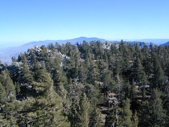
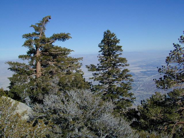
    The well-photographed snowy mountain backdrop behind the desert deluxe resort-land known as Palm Springs, Mount San Jacinto is the second tallest peak in Southern Cal.

    Mighty San Gorgonio peak, across to the east – on the other side of the valley, is the very highest mountain in this desert region. Granite Jacinto peak is located in between the mountains of Idyllwild and the low deserts of Palm Springs.

    32,248 acres

    Mount San Jacinto – 10,834′ elevation

    San Bernardino National Forest

    JACINTO PARK access –

    Palm Springs via Tram

    Book tickets online!

    Nearest towns:
    Idyllwild CA
    Pine Cove CA

    jacinto peak

    Day hikes, picnic in the forest, backpacking, horseback rodes w/ SUPER easy access via the fantastic Palm Spring Tram ride, up to 8000′ elevation.

    The San Jacinto Wilderness is managed by 2 different agencies: The National Forest Service and California Department of Parks & Recreation.

    If you are camping overnight in the forest, you must get your wilderness permit from the agency that administers the area where you plan to spend the night. Day-use permits can be obtained on the day of your trip by visiting one of the ranger stations below. Day-use permits issued by either agency are honored by both, except during the busy summer months when permits to enter the Wilderness via Devil’s Slide Trail can be obtained only from the National Forest Service.

    Camping permits can be obtained in advance by mail, in person, or online w/ PDF. National Forest Service accepts requests up to 90 days in advance; Mount San Jacinto State Park accepts them up to 56 days in advance. You can also get them on the day of your trip, if any are available at that time.


    USDA National Forest Service
    San Jacinto Ranger District
    54270 Pine Crest Ave
    Idyllwild, CA 92549
    951-659-2117

    Mount San Jacinto State Wilderness
    25905 Highway 243
    Idyllwild, CA 92549
    951-659-2607

    regional trail maps –

    San Jacinto Hiking Maps

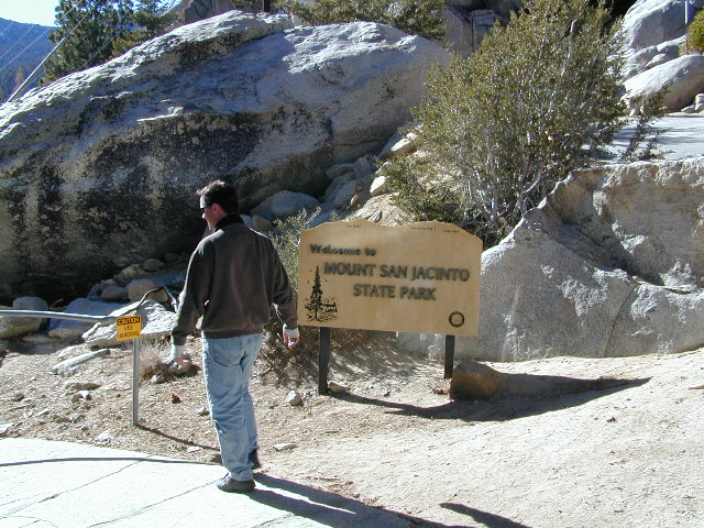
    Mount San Jacinto State Park is surrounded by San Jacinto Wilderness

    More San Jacinto Wilderness Info & Links –

    summitpost.org/jacinto-peak
    San Jacinto Peak Wiki
    USDA San Jacinto Wilderness
    Mount San Jacinto State Park

    California Off Road Areas

    4x4 Sierra

    The list below is of awesome California locations that do have off-road trails surrounding them. Some destinations listed are heavy use off-road – with OHV parks or camping nearby, while others are simply scenic dirt backroads or forest roads for easy driving. Topographic maps can be found for most areas, and should have all roads displayed, dirt and paved routes, as well as campgrounds, hiking trails and trailheads.

    SoCal 4x4 Big Bear

    This California “off road towns” list was originally part of the California Off Road Maps page, but it surely deserves it’s own unique post, since it is an ever expanding list. Ongoing.
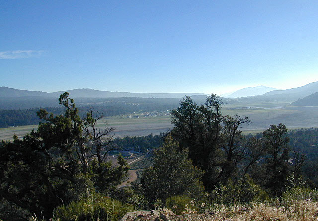
    Searching for Off Road Parks inside California?

    Try these links –
    State Vehicular Recreation Areas
    California OHV Parks

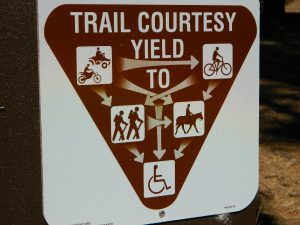
    OHV Yields To All

    Borrego Valley

    Sierra Nevada Lakes

    Crystal Clear Faucherie

    California Sierra Lakes
    Sierra Lake Destinations
    Sierra Lake Campgrounds

    One of the best physical features about California is the amount of lakes and reservoirs it holds – in the mountains, foothills and the canyons, throughout the state.

    recreational lakes – Huge, dammed reservoirs to the secluded, alpine lakes in the high country and all the variations in between.

    bowman

    There are literally thousands of lakes located within the Sierra Nevada mountains and it would be ridiculous to try to list them all here. Many of them can only be reached by hiking into Wilderness.

    Most California lakes are popular and well known recreation spots, but others are secluded – if you drive far and long enough back on the dirt road. Some do not allow motorized boats and most do allow fishing and swimming. Some have campsites on the waters edge, while other camps are up on a hill over looking the lake.

    Below listed are some Sierra lakes that allow camping on the lakeshore or nearby. Most campgrounds are suitable for RVs, tent camping, and some may require 4 wheel drive to reach them. bass lake

    huntington lake

    Total Escape has several hundred more lakes & obscure camps listed under Almanor, Lakes Basin, Secluded Lakes, Yosemite Lakes, Tahoe & the Eastern Sierra Lakes page.

    Or just check the tag for Lakes & Reservoir

    sierra lakes

    Kern River Canyon

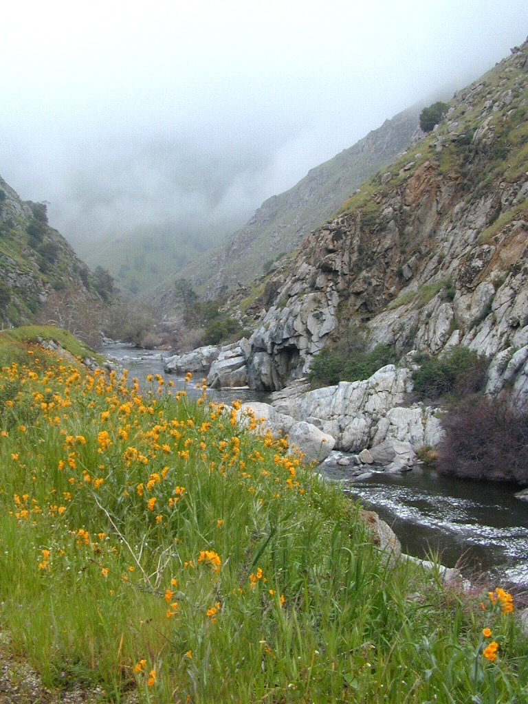
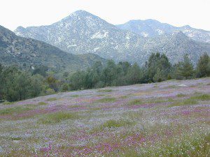
    Kern Spring Wildflowers

    Kern River Valley is one of the all time favorite Sierra Nevada destinations for SoCal escapees. First, it is the southern most ‘big river’ action for the Sierra range. The drive up from Los Angeles is easy access; only a coupe of hours. California Highway 178 leads from Bakersfield up the mountain to Lake Isabella (exit at 155 for Kernville destinations). The 178 continues east past the rural communities of Onyx, Canebrake, Weldon, and then on to the Northern Mojave desert & US Highway 395

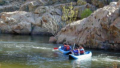
    Second, Kern has an abundance of outdoor recreation, from fishing to boating, river rafting to kayaking, backpacking, mountain biking, rock climbing, horseback riding, hiking, camping, & soaking. Kernville is the “recreation headquarters” for the region, where you can find rafting outfitters, camping supplies and rental equipment.

    Kern Rafting

    Third, the mountain scenery is very diverse – with the dry shores of Lake Isabella, the granite lined Kern River, or the ridges with towering cedar forests, plenty sugar pines, plus a few Sequoia groves; Tons of dirt back roads to explore, granite & gorges for the rock climbers, prime wilderness access & several primitive hot springs.

    The whole area is encompassed by the Sequoia National Forest with wilderness areas to the North & East. Giant Sequoia National Monument is located along the Western Divide Hwy in the northern portion of the National Forest.

    campingFIND CAMPING along the Kern River

    camping Sequoia National ForestFIND ALL Campgrounds in the Kern River Canyon

    Kern River Valley communities include:

    Whether you’re an RVer wanting a developed campground near town, a fisherman needing a primitive site right on the river, or a backpacker seeking the high country, the Kern has a little bit of everything. High elevations beyond 8000′ ridge lines, or the lush Lower Kern under 2000′ with granite boulders lining, Kern has it. 4 wheelers will love the extensive network of dirt back roads, or maybe the OHV areas of Keysville. Lake Isabella has numerous oak lined campgrounds & boat rentals available too. Summer is not the best time to visit as the temperatures soar to 100 degrees & the city crowds come in full force to the Kern Valley. Springtime, the best season to visit runs from March to May, or Autumn cools for September to December.

  • SEQUOIA NATIONAL FOREST MAP
  • DOME LAND WILDERNESS MAP
  • GOLDEN TROUT WILDERNESS MAP
  • SOUTH SIERRA WILDERNESS MAP
  • KernWildflowers

    HoboCampground
    Hobo Campground in the Lower Kern Canyon

    California North Coast

    Northern CA Coast / Northern Coast of California

    The redwood north coast of California is very forested region with many rivers & streams running throughout. Fishing, kayaking, rafting, camping & backpacking are all superb here. The wilderness rules, as the majority of the landscape is wild & untouched by development. Mountain ranges near the north California coast span in elevation from 1000′ to 8000′. The Klamath River, Eel River & Trinity River are the predominate waterways in this region, with designated National Forest lining their canyons. There are over 10 parks along the coast that feature the redwood trees as the main attraction. The ones listed below are the inland, mountainous areas of Northern California.

    klamath river

    Mendocino National Forest

    Clear Lake, Kelseyville, Ukiah

    north coast CA

    Redwood National Park

    Klamath, Orick

    north coast CA

    Six Rivers National Forests

    north coast CA

    Smith River Recreation Area

    Crescent City, Orleans

    San Diego Lake

    sutherland Reservoir

    Lakes in San Diego CA
    San Diego County Lakes & Reservoirs

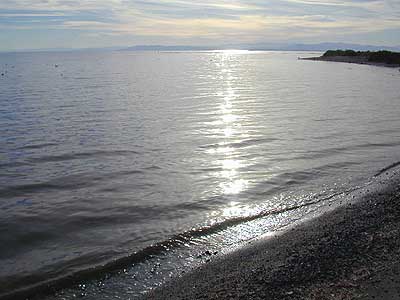
    Salton Sea, way out past Anza Borrego desert is indeed surreal, but nothing too spectacular

    Baja mountain camping at Laguna Hanson. Baja California Norte
    Lake Dixon in North County San Diego, near Escondido, CA

    Barrett Lake, near Tecate CA
    w/ plenty of off-roading trails @ Corral Canyon OHV Park

        • south of Interstate 8
        • steep slopes & granite boulders
        • vegetation is chaparral & coastal sage
        • elevations range – 1,600′ – 3,681′
        • wood fires prohibited
        • portable stoves permitted
        • groups limit – 15 people
        • visitor permit required
    hikes NFS camping

    Looking for alpine lakes, dense forest and dramatic mountain scenery? 

    Of course you are. That’s why half the population relocated to California, to endlessly search for summer vacation destinations in alpine bliss and stay overnight next to a secluded mountain lake. You’ll need to leave SoCal to find these beauties, but they are out there if you have the time to travel and spend a week enjoying one. Midweek, the fish are all yours. Check out our huge California Lake List.

    California Summer Camp

    Kids Summer Camps in California

    a child’s fondest memory, summer camp.

    California Camps

    Coppercreek Camp
    Williams Valley Rd
    Greenville, CA 95947
    800-350-0006
    Northern Sierra Nevada mountains

    Gold Arrow Camp
    60378 Highway 168
    Lakeshore, CA 93634
    800-554-2267
    Central Sierra Nevada mountains

    Kennolyn Camps
    8205 Glen Haven Road
    Soquel, CA 95073
    831-479-6714
    Santa Cruz mountains

    Mountain Meadow Ranch
    Susanville, CA 96130
    530-257-4419
    Northern Sierra California

    Plantation Farm Camp
    4285 Kruse Ranch Road
    Cazadero, CA 95421
    510-849-1084
    707-847-3494
    Coastal Sonoma redwoods

    Pine Springs Ranch
    58000 Apple Canyon Road
    Mountain Center, CA 92561
    951-659-4131
    Idyllwild SoCal mountains

    River Way Ranch Camp
    6450 Elwood Road
    Sanger, CA 93657
    800-821-2801
    559-787-2551
    Central Sierra, Kings Canyon

    Shaffer’s High Sierra Camp
    38782 Highway 49
    Sattley, CA 96124
    866-597-6617
    Gold Country Sierra foothills

    Skylake Yosemite Camp
    37976 Road 222
    Wishon, CA 93669
    559-642-3720
    Bass Lake in Sierra NF

    San Diego Lakes

    San Diego county has numerous recreational lakes, but only a few that allow overnight camping. Oak filled valleys and pine forests are nearby, but if you are seeking alpine lakes, surrounded by granite peaks and towering forests – then look to north for the Sierra Nevada mountains. Southern California landscape is nearly a desert terrain, with seasonal creeks and minimal rivers, so you won’t find lush greenery with natural lakes down here.

    lakes San Diego

    cleveland National Forest map

    Agua Tibia Wilderness

    Agua Tibia Wilderness Area

    • 15,900 acres
    • chaparral & oak at lower elevations
    • pine & fir forest at high elevations
    • elevations range 1,700′ – ­5,000′
    • 25 miles of trail
    • summer temperatures exceed 100°F
    • occasional snow in winter
    • best in winter through spring
    • wood fires prohibited
    • portable stoves permitted
    • water scarce
    • no overnight use of pack or saddle stock
    • groups limit – 15 people
    • visitor permits required
    Agua Tibia lies right on the RIVERSIDE
    & SAN DIEGO COUNTY border

    Cleveland National Forest
    Palomar Ranger District
    1634 Black Canyon Road
    Ramona, CA 92065
    760-788-0250

    Agua Tibia Map

    Agua Tibia Trailhead

    This is the trailhead for Agua Tibia Wilderness located at Dripping Springs Campground on Highway 79, near Temecula CA.

    See more: Agua Tibia Mountain hike details

    hiking SoCal

    Angeles Campgrounds

    Camping Los Angeles – Angeles Crest Camping

    Angeles Crest Hwy CA 2

    campground elev spots veg toilet water notes
    Appletree Campground 6,200′ 8 pines vault piped Big Pines Hwy
    Basin Campground 3,400′ 15 CLOSED
    Bear Campground 5,200′ 15 vault no
    Big Rock Campground 5,000′ 8 vault crk sm RV, 4WD
    Blue Ridge Campground 8,000′ 8 pines vault no May-Nov, sm RV
    Buckhorn Campground 6300′ 40 pines vault no May-Nov, sm RV
    Cabin Flat Campground 5,300′ 12 vault no CLOSED
    Cienaga Campground 2,100′ 12 oaks vault no May-Dec
    Coldbrook Campground 3,350′ 22 vault piped sm RV
    Cottonwood Campground 2,600′ 22 vault no
    Guffy Campground 8,300′ 6 vault no May-Nov, 4WD
    Horse Flats Campground 5,700′ 25 pines vault no April-Nov
    Jackson Lake Campgr 6,100′ 8 pines vault summer May-Dec
    Live Oak Campground 2,000′ 7 oak CLOSED
    Manker Flats Campground 6,000′ 21 flush piped sm RV
    Messenger Flats Camp 5,500′ 10 pines vault no Corrals, April-Nov
    Millard Campground 1,900′ 5 oaks vault no Altadena, Chaney Trail
    Monte Cristo Camp 3,600′ 19 oaks vault piped RV, Hwy 2, N3
    Mount Pacifico 7,100′ 7 pines vault no May-Nov
    Mountain Oak 6,200′ 17 oak flush piped May-Nov
    Peavine Campground 6,100′ 4 vault piped Big Pines Hwy
    Prospect Campground 2,100′ 22 CLOSED
    Rocky Point Camp 3,400′ 3 vault summer
    Sage Campground 3,400′ 4 vault no Cheseboro Rd
    Sawmill Campground 5,200′ 8 vault no sm RV
    Soledad Campground 2,000′ 6 CLOSED
    South Fork 4,500′ 21 oaks vault no May-Nov, sm RV
    Spring Camp 4,700′ 3 vault no Rincon-Shortcut Route
    Spunky Campground 3,300′ 10 vault no
    Streamside Campground 2,500′ 9 vault no poison oak
    Sycamore Flats 4,200′ 11 vault summer sm RV
    Upper Shake 4,400′ 18 vault no May-Dec.
    Zuni Campground 1,700′ 10 vault no

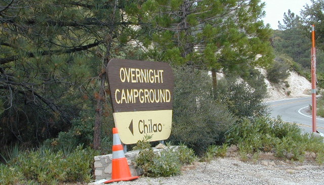
    Chilao Campground

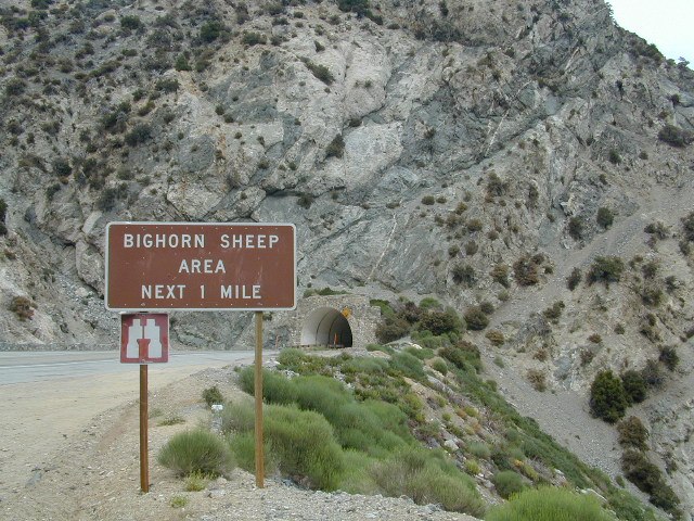
    tunnel angeles crest

    nearby towns –

    Angeles Maps – hiking, OHV & mountain biking –
    Mount Charleston Vegas
    Mt Charleston Las Vegas NV

    Mount Charleston Las Vegas NV

    Mount Charleston Resort
    Mount Charleston Resort

    Mt Charleston cabin rentals, vacation homes and 2 mountain lodges are located near the Spring Mountain Recreation Area, just outside of the Sin City limits. The tall alpine mountains behind RedRock SP, NW of Las Vegas, Nevada are virtually unknown by many non-locals. Great hiking, mountain biking, camping and waterfalls, plus a small seasonal ski and snowboard resort are some of the highlights. Imagine snowboarding Vegas!

    Mt Charleston Hikes
    Red Rock Canyon Map

    Las Vegas Forest Hikes

    Vegas means “the meadows”, but it sure seems more like desert these days. The forest is just up the hill, past the red rock and tract homes, well past the Joshua Trees. Conifer forests, snow and high elevation, less than an hours drive from the Vegas strip. Toiyabe – Humboldt NF is this public land managed by the US National Forest system. Toiyabe also covers Eastern Sierra slopes. Get California Toiyabe NF maps. Get the Nevada State Park map here!

    Camping Vegas

    Due to extreme dry conditions and wildfire danger no open camp fires are allowed from mid-April to mid-November in the Mount Charleston region. Several developed campgrounds, plus a primitive (dirt road) camp area off Lee Canyon. Cabin rentals are located at the Charleston Lodge.

    • Vegas trails
    • Hiking in Vegas
    • Mount Charleston skiing
    • Mt Charleston hikes