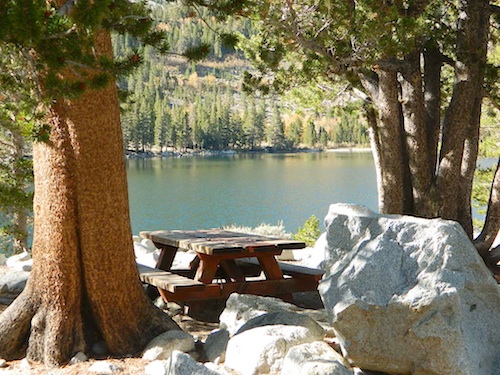
Numerous places named Rock Creek exist inside California. This particular Rock Creek page is specific to Camping and Campgrounds!
This compilation of “Rock Creeks” is to help with the confusing lists of similarly named camps and locations (which are many, inside California).
Lakes, rivers, canyons, campgrounds, 4×4 routes and wilderness trailheads.
Eastern Sierra Campgrounds
List begins with the most well known –
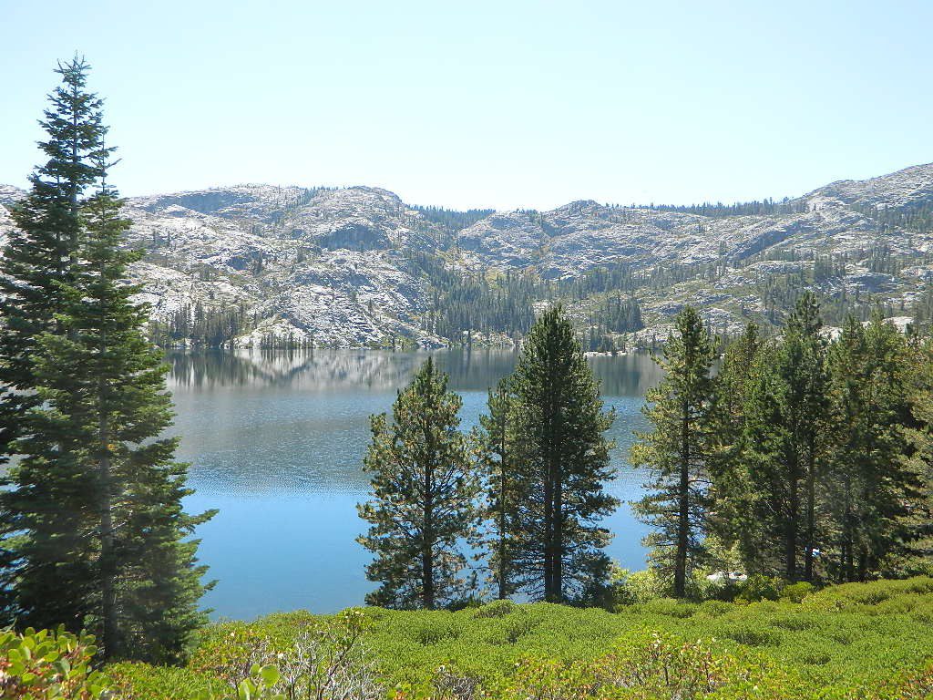
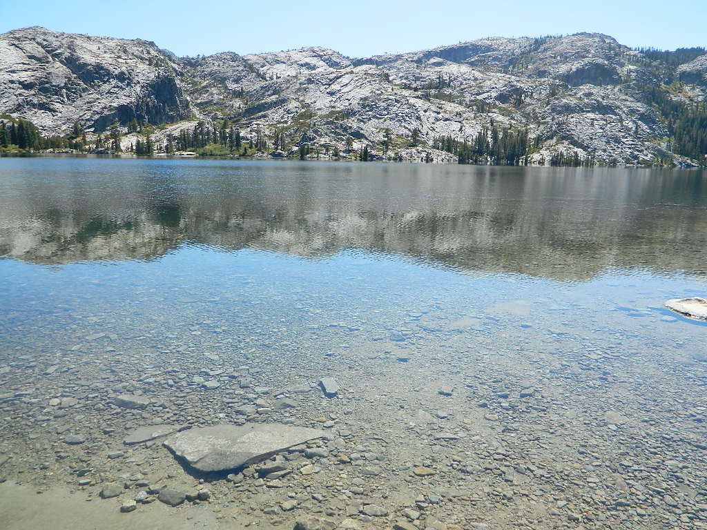
Rock Creek Lake @ Inyo National Forest
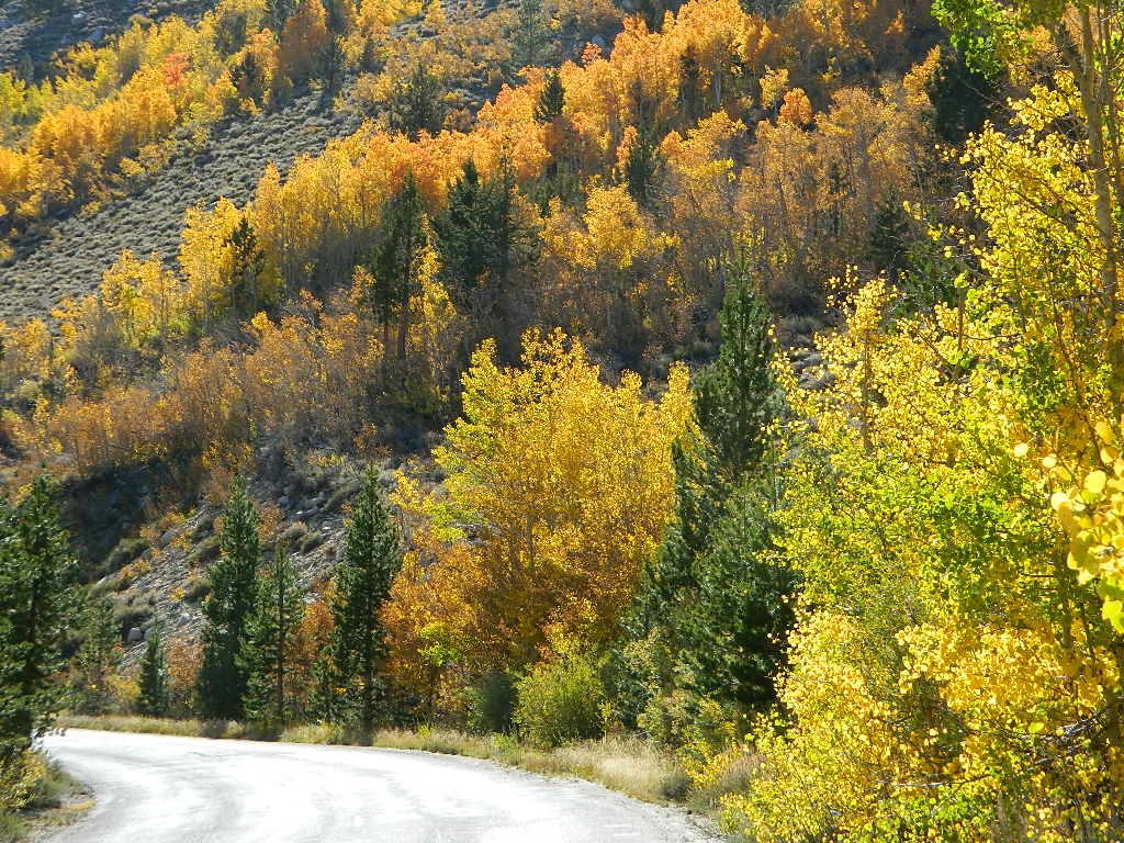
NFS Campgrounds on Rock Creek Road listed below:
 12 NFS Campgrounds are located around Eastern Sierra Rock Creek Canyon. Elevations range from 7000′ at the highway, to over 10,000′ at a trailhead parking lot at the road’s end. Most of these developed campgrounds listed are only open a few months outta the year, due to winter snow closures (NOV-APRIL). On occasion, snow can still be on the roads until MAY.
Tuff Campground ( @ frwy US 395)
French Campground (7500′ elev w/ 86 sites)
Holiday Campground (7500′ elev w/ 35 sites)
Aspen Group Campground (8100′ elev)
Iris Meadow Campground (8600′ elev w/ 14 sites) ![]()
Big Meadow Campground (8600′ elev w/ 11 sites)
Palisade Group Campground (8600′ elev w/ 5 sites)
East Fork Campground (9000′ elev w/ 133 sites)
Pine Grove Campground (9300′ elev w/ 11 sites)
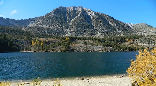
Rock Creek Lake Campground (9600′ elev w/ 66 sites) ![]()
Rock Creek Lake Group Campground (by reservation) ![]()
Mosquito Flat Walk-In Campground (trailhead camp)  Some maps may have this one listed as Little Lakes Campground, but that is just the official trailhead name.
Backpackers and horseback riders frequent this Eastern Sierra canyon a lot of the year. Many high country trails lead out to Sierra peaks, alpine lakes and sheer wilderness. Download PDF Map of this canyons hiking trails.
More Rock Creek Camps
Rock Creek Campground – Mammoth Pool Reservoir, south of Yosemite National Park, behind Bass Lake, CA inside the Sierra National Forest (18 camp sites)
Rock Creek Campground – US Hwy 101 NorCal Redwood forests, north of Leggett, CA. Camp located on the Eel River, in the Standish Hickey State Recreation Area. (36 camp sites)
Rock Creek Loop Road – Dinkey
Sierra Forest Road #9S09, off of paved Dinkey Creek Road. Excellent primitive camping along creek; 4×4 trailheads, as well as hiking & horseback trails. Small RVs okay. Dispersed camp sites, no facilities. Fire permits are required. Near Shaver Lake, CA inside the Sierra National Forest
Similarly named –
ROCK LAKE is located inside Lakes Basin Recreation Area, northern Gold Country @ Yuba River headwaters. Hike-in access only.
And if you want some Central Coast wheelin – 4×4 camping and trails, see the ROCK FRONT RANCH on California Hwy 166, on the way to New Cuyama, CA
We will continue to add any more Rock Creeks to this page (as we find and photograph them). Stay tuned for more of the very best camping in California.

