San Diego hikes, SD hiking, San Diego Mountains

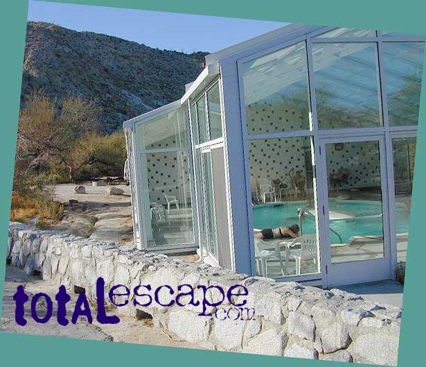
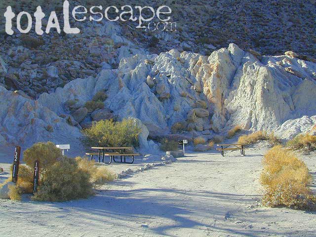
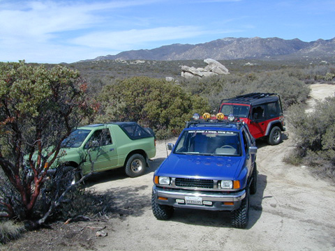
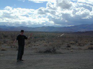
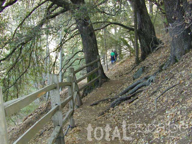
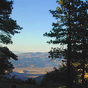
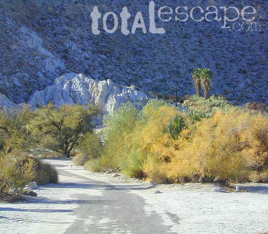
Back a couple of decades ago, inspiration and research for creating this very web site began in the deserted hills behind San Diego. Escaping the city at every chance, some feel the rat race more than others. Luckily the desert is close and there is plenty of space for everyone. California boulders and badlands, hot springs, pine meadows, great views, oak forests creeks, coastal cliffs and lush canyons near downtown, SD does have some awesome hiking trails – even a few waterfalls too.

- Anza Borrego Desert
- Balboa Park
- Carrizo Gorge Goat Trestle
- Cedar Creek Falls
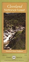
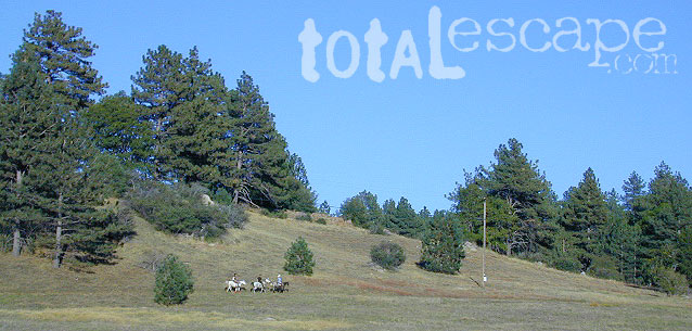
- Cleveland National Forest
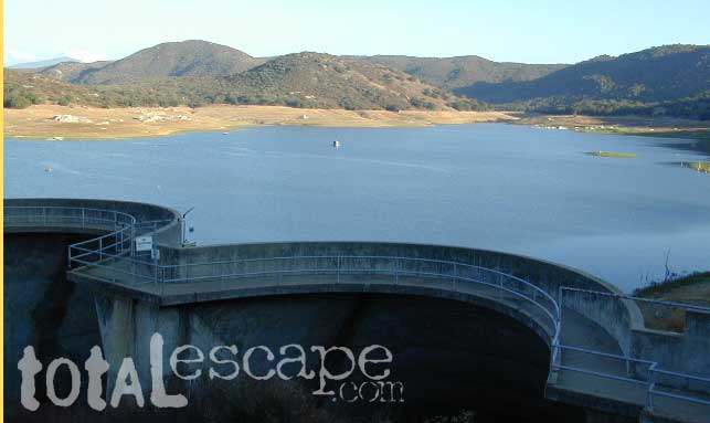
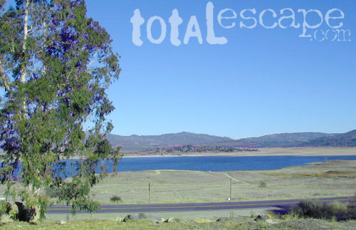
- Lake Morena County Park
- Lakeside River Park
- Los Coyotes Indian Reservation
- Mission Bay Park
- Mission Trails Regional Park
- Palomar Mountain State Park
- Presidio Park
- Rancho Cuyamaca State Park
- Roam-O-Rama– SD Reader Hikes
- SD Audubon Wildlife Sanctuaries
- San Dieguito River Park
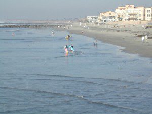
- Shoreline Parks – Sunset Cliffs SD
- SoCal Trails – extensive list of hikes
- Torrey Pines hiking
- Wilderness Gardens Preserve
- William Heise County Park
San Diego County Parks Map w/ links

SD small towns w/ hiking trails nearby

- Alpine CA
- Boulevard
- Borrego Springs CA
- Descanso CA
- Escondido CA
- Fallbrook CA
- Jacumba CA
- Jamul
- Julian CA
- Lake Henshaw CA
- Mount Laguna CA
- Palomar Mountain CA
- Pine Valley CA
- Rainbow CA
- Ramona CA
San Diego Hiking Maps


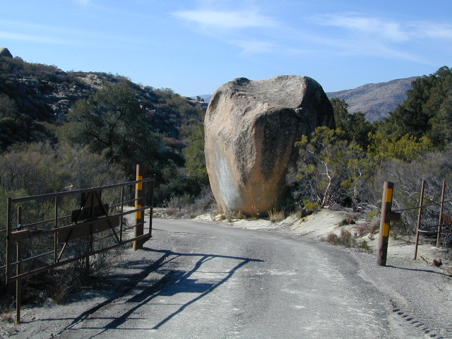
 he desert surface. A decent water supply also supports plant life & wildlife.