
Mammoth Pool Lake, Sierra Nevada
San Joaquin River, Sierra National Forest
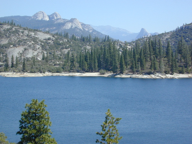
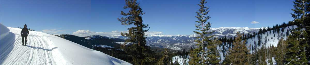
Awesome granite domes of the western Sierra, plus a scenic recreational lake that is only accessible half the year. Home to “Hells Half Acre” – Mammoth Pool Lake is one of the lesser known reservoirs in the western Sierra Nevada mountains. It’s kinda hard to get to although it is located on the border of Yosemite National Park. Area is totally surrounded by granite creeks, hiking trails, dirt roads and wilderness. This Mammoth Pool is an hours drive, way back behind Bass Lake (off Highway 41), and NOT located near Mammoth Lakes in the Eastern Sierra.
Camping just outside of Yosemite. Although the National Park boundary and trailheads are near by, accessing Yosemite Valley for day trips from this location will be quite tiresome and difficult, with long winding roads and over 2 hours drive one way. Better to camp near Bass Lake if you wanna be convenient to Yosemite NP.
Mammoth Pool
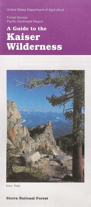
Sierra National Forest
3330′ elevation
123,000 acres
Sierra Vista Scenic Byway
(loop road, backcountry route closed in winter months)
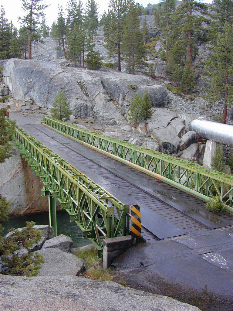
Near the town of Oakhurst and Bass Lake California, get off the main highway and head over to the small town of North Fork. Take South Fork Road 225 (Italian Bar Rd) to Minarets Road (#81) also called Mammoth Road. Side trip paved Auberry Road (#222) which skirts oak hills down to Redinger Lake Road. Hook up w/ Minarets Road (#81) that parallels the San Joaquin River on the forested ridge above, traveling 20 miles to Numerous developed campgrounds and primitive camping sites off this route. Mammoth Pool is a signed right turn down Mammoth Pool Road, a steep road w/ a couple of campground near the lake shore and the only public boat launch is narrow, one at a time and it is not paved.

The lake is closed to the public during May and the first half of June to allow migrating deer to swim across the reservoir. The reservoir is inaccessible following the first snowstorm, as the access road is not snowplowed.
 Grizzly Road, a paved route that leads deeper into the woods and connects over to BEASORE. Back on the main route (Road #81) on the far north end of the loop, a narrow, paved side route connects Clover Meadow Ranger Station and the impressive Granite Creek Campground. Plenty water and hiking trailheads that lead into Ansel Adams Wilderness and Yosemite National Park.
Back on the main route (Road #81) – the pavement becomes dirt in some sections and the route loops down to Beasore Road (#7), which traverses past meadows and dense forest, and heads back towards Bass Lake.
backpacking, boating, camping
fishing, water ski, kayaking
sailing, swimming
backcountry side routes
- Sierra NF – #7S02
- Sierra NF – #7S07
- Sierra NF – #8S09
- Grizzly Road #6S71
- Jackass Creek # 5S08
- Granite Creek # 5S30
- Granite Creek # 5S84
NFS Campgrounds nearby –
-
- Fish Creek Campground
- Whiskey Falls Campground
- Soda Springs Campground
- Placer Campground
- Sweet Water Campground
- Mammoth Pool Campground
- Lower Chiquito Campground
- Little Jackass Campground
- Bowler Group Camp
- Clover Meadow Campground
- Granite Creek Campground
hikers trailheads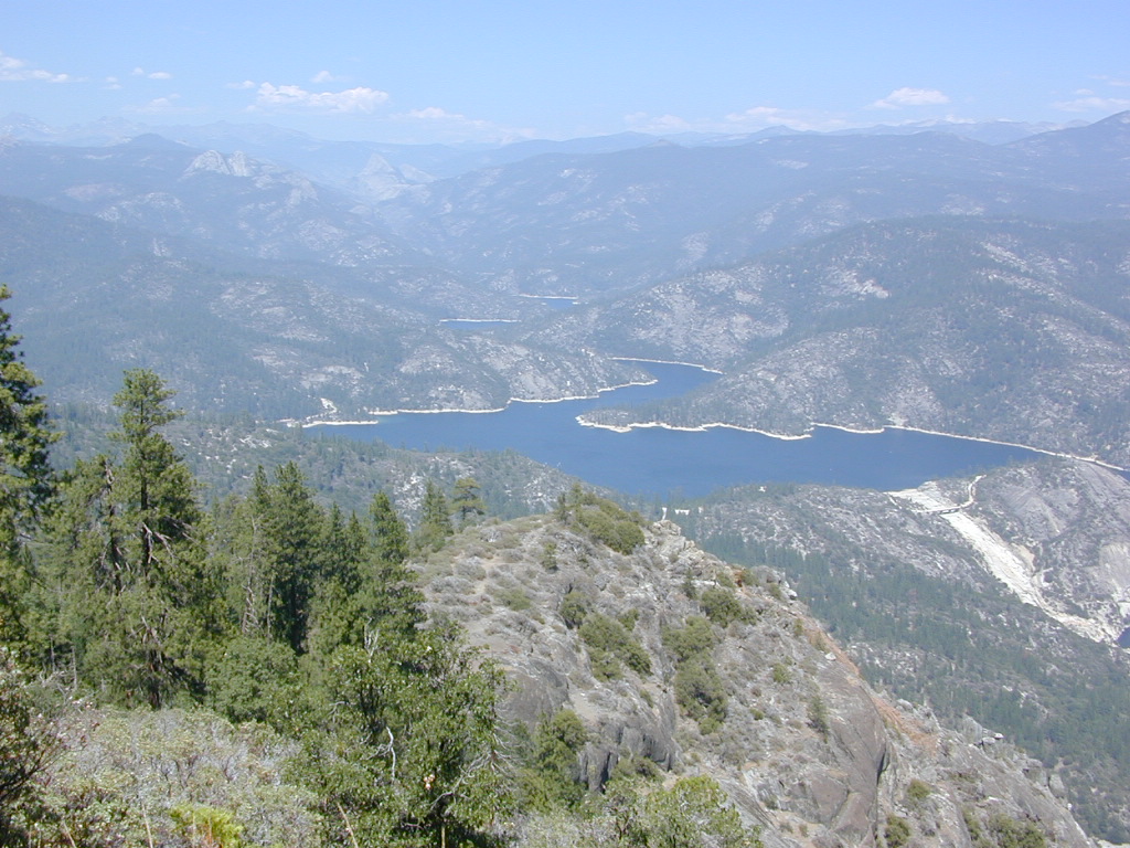 –
–
- Shake Flat
- Logan Meadow
- Hells Half Acre
- South Fork
- McCreary
- Cassidy
- Mammoth
- Isberg
- Fernandez
- Norris
- Jackass Lake
towns nearby –


