Tag Archives: seclusion

14S11 – Sequoia NF

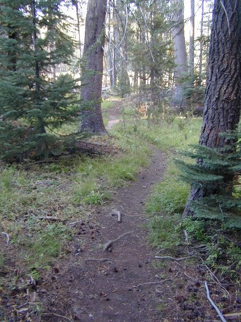
trails to meadow

Big Meadows Road: Sequoia Forest Rd# 14S11

SEPT 2021: Closed due to the KNP Complex Fire

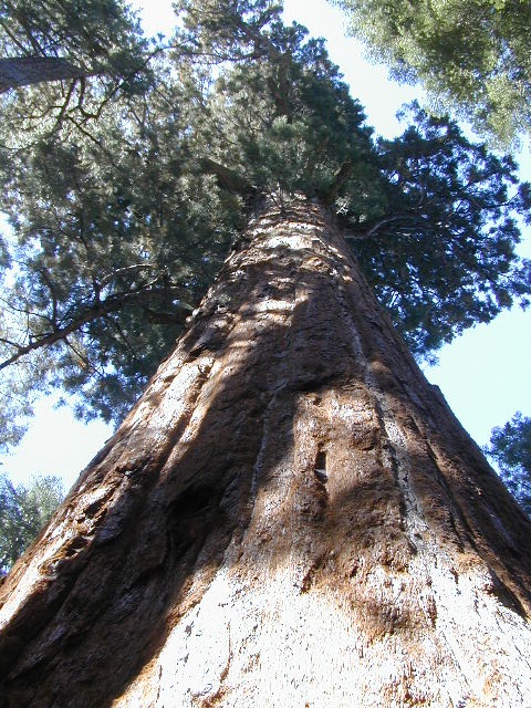
GIANT SEQUOIA: in between Sequoia & Kings Canyon, inside Sequoia NF
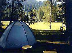
Sequoia Meadows

This chunk of National Forest land is perfectly located in between 2 very popular National Parks – Kings Canyon and Sequoia. This primary paved road leads to some great camping, a perfect option for NOT camping inside the crowed National Parks.

Turn east off of Sequoia ‘Generals Highway’ 198, on to the well signed Big Meadow Rd. There is primitive camping all over this area & a few developed campgrounds along this route. Motorhomes be warned: the road narrows to one lane with no “turn outs” or U turn spots for the last 10 miles (on a steep cliff w/ large overhanging rocks)

SEE CAMPING PHOTOS

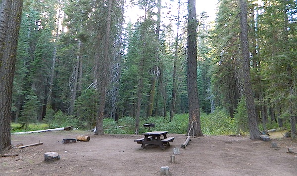
campIn the first few miles, the dispersed camp sites on the right side have great views & some situated on fairly flat granite slabs, perfect for astronomer campers or adventurous RVs. To the left side of the road is more primitive style campsites in wooded areas. The whole area is also a very popular cross country ski & snowmobiling spot for winter recreation. Hunters also like these camps during hunting season (in September).

horseback

There is a developed Horse Camp on the left side of the road for equestrian campers. This camp is located across from the biggest meadow and may be the first place you notice on this drive.


Buck Rock Campground
(7600′ elevation, 5 spots) & Big Meadows Campground (7600′ elevation, 25 spots) are both family style camps, perfect for those who want picnic tables, plus bathroom nearby. Sorry no flush toilets out here, only pit toilets.


Sequoia maps

Buck Rock Fire Lookout Tower @ 8500′ elevation – is located to the north on Forest Rd # 14S02. It’s a great spot for some impressive views – if you aren’t afraid of heights. To reach the tower you must climb several flights of steel steps. This place is worth a stop if planning a sightseeing day.

Big Meadows Guard Station @ 7500′ elevation (also known as Big Meadows Cabin), is located next to the BIG MEADOW and is available for rent on a weekend basis from the NFS. Hiking Jennie Lakes Wilderness and fly fishing Big Meadows Creek are favorite activities to be enjoyed.

Big Meadows Road is long & narrow – 12+ miles. RVs are not recommended beyond the Big Meadow Campground, as the road is one lane in some spots & it skirts a cliff edge. The views are incredible the farther you go & many creeks feed the region.

The narrow, long paved road eventually forks off into several smaller dirt roads back near Horse Corral Meadow. Way back here, the dirt roads lead out to trail heads for backpacking, horse packing or day hiking in Jennie Lakes & Monarch Wilderness. Backcountry access to either Sequoia or Kings Canyon National Park! Have a good map if you plan to venture out this far. Pay attention & don’t get lost.

GPS would be helpful in this area. Some of the smaller of the dirt roads are not even on the NFS maps. Make sure to GPS way-point your favorite camp site, so you can find in next time…. in the dark.

Sequoia National Forest

Sequoia National Forest MAP

nearby services:
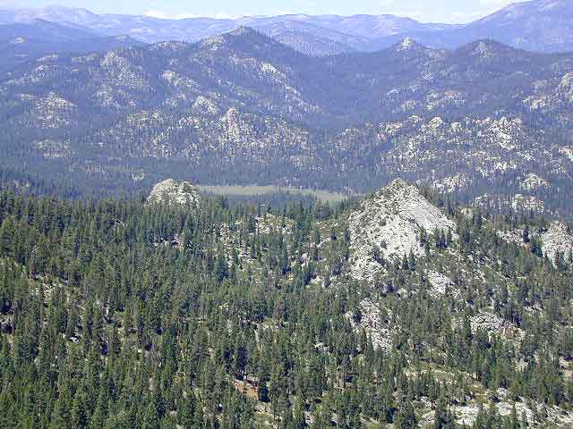
Sequoia Groves

see all – Big Meadows in California 

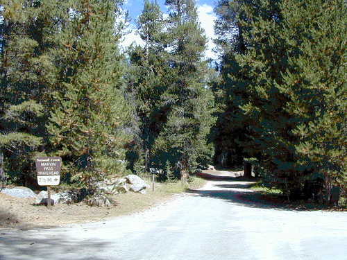
Marvin Pass Trailhead

Snake Lake California

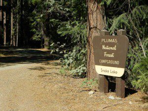
Snake Lake Campground

Snake Lake Campground, Plumas NF

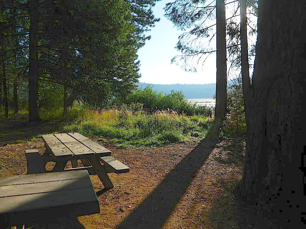
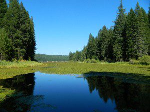
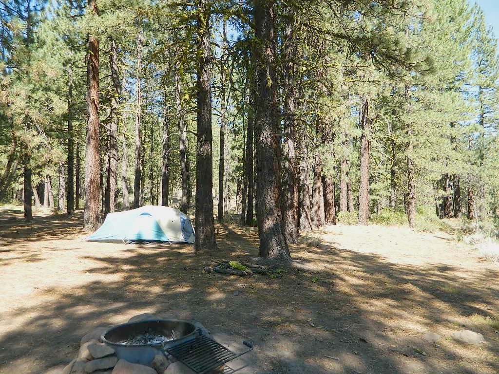
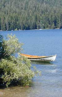
campDon’t let the name frighten you, Snake Lake is a very scenic fishing lake – but you will NOT want to swim in it. Lily pads cover the water surface most of the year so it is considered “frog heaven” during the warmer months. NFS has been upgrading these camping facilities recently. Snake Lake Campground has new picnic tables, camp fire rings, bear boxes, vault toilet and expanded equestrian camps and corrals. No piped water, so bring your own. A bucket & shovel are always required for proper campfire maintenance.

morninglakeview

One of the best campgrounds in the region, Plumas National Forest and close to Quincy, CA. Paved road access means an easy 3 miles off the main road (Bucks Lake Road, aka Oroville-Quincy Highway, Oro Quincy Hwy). 7 miles west of the town of Quincy, the green, metal, one-lane bridge is easy to spot, but the small sign for “Snake Lake 3” is easy to miss, if driving 50 mph or faster. Turn off is located in between Quincy and Meadow Valley.

New Signs

Horse Camping

Equestrian camp sites, horse corrals, OHV trails, group picnic areas. Hiking, fishing, mountain biking, off roading, horseback trails, kayaking or canoe.

horseback

Snake Lake Campground NFS

• Elevation: 4200′
• Number of Sites: 17
• Vehicle Accessibility: small RV
• Campsites Reservation: No
• Camp Fee: Yes
• Length of Stay: 14 Days
• Season: May – October
• Trailheads: OHV, Horse & Winter Rec

This lake camp serves as a central hub for travelers, motorcyclists, campers, hikers, fishermen, off roaders and equestrians alike. Mountain biking & OHV trails go off in numerous directions and horseback trails are readily accessible. Winter Recreation Area means snowmobile trails too.

Another smaller lake, Smith Lake, is a short drive or short hike (on dirt road) further into the woods, with the Butterfly Valley Botanical Area neighboring it.

fish

another Snake Lake?

Another SNAKE LAKE exist inside Plumas National Forest. The smaller Snake lake can be accessed by off-road trail Road#12E66, off the Gold Lake Highway; 4×4 is required to reach this one. West of Gold Lake in the Lakes Basin Recreation Area. The PCT is routed nearby one mile away.

middayblue

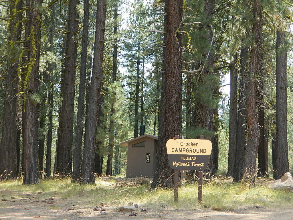
Crocker Campground

Davis Lake Camping

Crocker Camp Lake Davis

Crocker Campground
Crocker Guard Station

Plumas Forest Rd #24N06
Crocker Mountain Rd @ Beckwourth-Genesse Rd

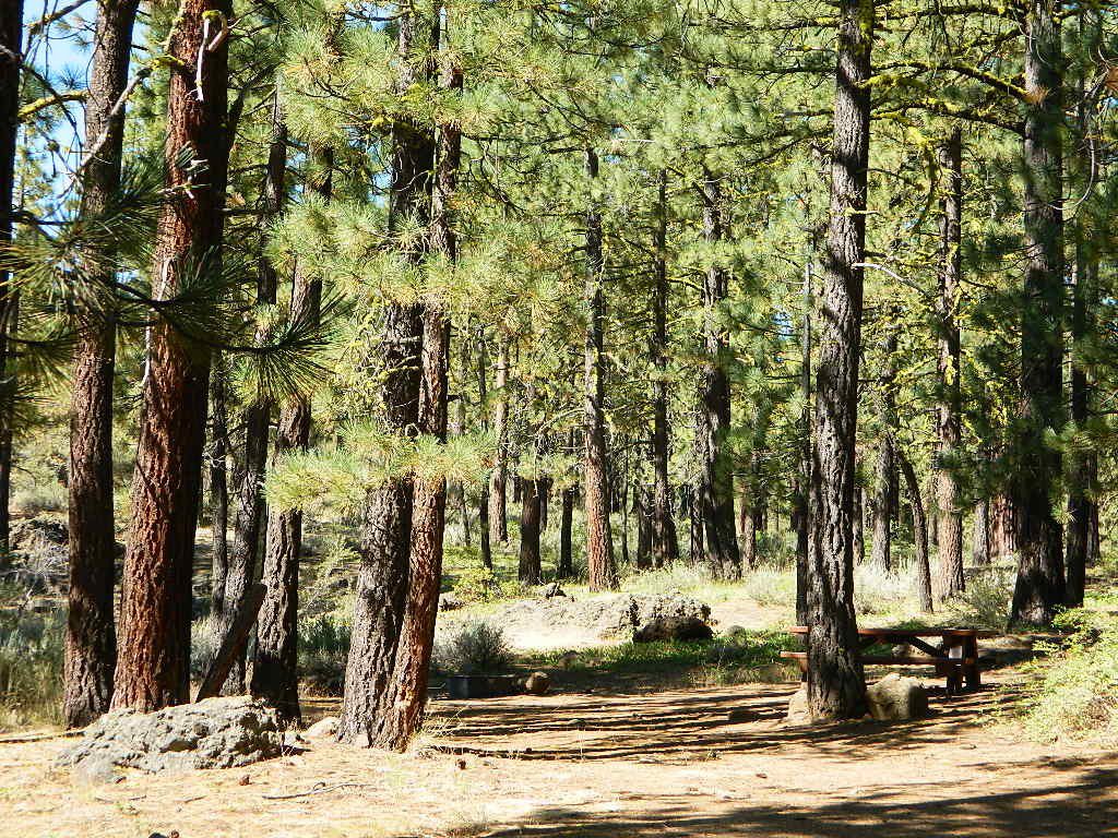
Seldom used, but often loved. This old camp used to be a California Conservation Corps (CCC) camp, during the construction of Lake Davis in 1966. Situated next to a big meadow w/ ancient lava flows up hill, the small campground hugs a wooded hillside above the freshly paved Beckwourth-Genesse Road #111

Lake Davis Recreation Area

Plumas National Forest
Beckwourth Ranger Districtranger
530-836-2575

If choosing to enter camp from the lake side, take Crocker Mountain Rd. / Plumas Forest Rd #24N06, up from Grizzly Road #112.

The Lake Davis area is a north turn off Hwy 89, in between Beckwourth and Portola, CA

Access from the paved (east) side is via Beckwourth-Genesse Road #111. Adventurous camper trucks, or small RVs may attempt this dirt hillside campground, but roots and rocks and erosion are abundant in the upper portion of the camp, so be warned.

Off Roaders (dirt bikes, quads, 4x4s) like this rustic camp spot, cuz it’s not too far off the pavement – and they can drive their comfy campers w/ trailers en tow, and the big BBQ grill and easy-up shade.

hikerNote: you cannot see Lake Davis from this side of the hill.

Autumn is nice here w/ aspen groves at nearby Crocker Guard Station. There are no aspen trees in the campground – only pines. This primitive campground is located on a forested, volcanic hillside facing east; Dirt road entry, vault toilet w/ minimal facilities. No paved campsite loop here!

Numerous unmarked foot trails lead out to the meadows edge, up lava ridges or into the forest behind the aspens. Crocker Guard Station is a very short walk; and available for rent from the NFS w/ reservation.

Crocker Campground NFS camp

• Elevation: 5600′
• Number of Sites: 10
• Vehicle Accessibility: Small RV
• Campsites Reservation: No
• Camp Fee: Yes
• Length of Stay: 14 Days
• Season: May – November
• Trailheads: Crocker Meadow Loop

Crocker Campground

Crocker Guard Station

aka Crocker CCC Camp

Set back nicely off the main road, this stylish, historic, two story cabin – with wood siding and front porch – has meadows and aspen groves surrounding it. Paved road access from Beckwourth Genesee Road

CCC = the Civilian Conservation Corps is often mentioned when reading about this specific location.

Crocker Guard Station was built in 1912 as a home for Forest Service personnel, and was later staffed as a fire station until the 1980s. Now the building serves as a USFS Cabin Rental; which could also make a nice (small) wedding location. Very scenic location w/ aspen groves.

lava campsites

Crocker Mountain (7444′ elev)  is popular for deer hunting, mountain biking, as well as off-road travel. Trails can be dusty and steep in summer, then snowy, slippery and muddy in wetter months. This Plumas mountain region does get some snow, so check the weather forecast.

Lake Davis is about 5 miles away from this small campground, to the west. From Crocker Camp to Lake Davis (the most direct way) is a one lane, graded dirt road – Plumas Forest Rd #24N06

The paved driving to the lake will be triple the distance – and you’ll need to go back to the highway.

View East from Davis
Crocker Mountain @ Lake Davis, California

Salmon River California


salmon river
Photo Credit Erik Meldrum

Salmon River
Forks of the Salmon

NORTHERN CALIF

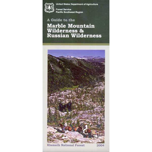
One of the most remote & biologically intact watersheds left inside California. The headwaters of the Salmon River flow from the Trinity Alps, Marble Mountains, and the Russian Wilderness Areas. 850,000 acres of Wilderness surrounding the Salmon River watershed.

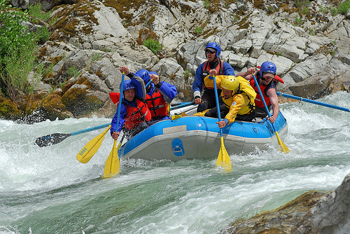
You gotta know how to read a map if you wanna find this hidden gem. For those who love seclusion! This NorCal river region is a prime destination for true nature lovers: campers, hikers, fishermen, river rafters, river kayakers, mountain bikers, backpackers, birdwatchers and horse enthusiasts. Summer is the busiest time and of course, the best weather. The remainder of the year, you’ll basically have the place all to yourself. Winters can be wet and sloppy, so don’t get stuck in the mud. Cell phone reception is minimal in these densely forested backwoods.

Rafting, river beaches, kayak spots. Campground camping, RV camping, tent camping, primitive and wilderness too.

A significant part of the Klamath River’s watershed is in the Karuk Tribe’s Ancestral Territory. Karuk Indians have carefully managed their lands through an integrated continuum with the aquatic and terrestrial ecosystem functions for thousands of years. Salmon, or “Ama” in the Karuk language, was a major source of food and spiritual renewal.

Forests & Parks along Salmon River:

California Fire Lookout

Dome Land from Bald Mtn, KERN
Bald Mountain (elev 9382′) Lookout in Sequoia National Forest

NFS Fire Lookout Towers

JULY 2019 – Many thanks goes to Pike County Lookout for initially spotting the #RockFire – in the Plumas National Forest, near Berry Creek, CA

Lookouts in the California National Forests

Ready to see far and wide – with wild terrain? Views for 100 miles out and the best scenery California has to offer. Be prepared to off road or hike to reach one of these destinations.

Below is a list of historic look out towers & cabins used for spotting wildfires. Some are located on steep granite peaks, ridge lines or dirt roads. 4WD may be recommended to reach some of these. Road conditions can change w/ harsh mountain weather, so be prepared to rough it. Thunderstorms are common on these mountain ridges.

Several of these places are cabins, some are stone houses, but most fire lookouts are basic metal towers – with high climbing staircases, so you must be in decent physical strength to haul your ass up this high.

rangers cabin mountains hikers vacation

Cabins are also called guard stations, huts, bunkhouses. Most are located on mountain tops, but a few exist in desert regions. Some are refurbished & available for overnight rentals. Bare bones furnishings, so forget the frills. People come up here for the thrills. To be outside w/ epic views, way away from the urban grind & to feel on top-of-the-world.

Coon Creek Cabin


NFSlogoSee the full list of overnight accommodations on mountain peaks & ridges, some near meadowsNational Forest Cabin Rentals

El Dorado National Forest USFS

Robbs Peak Lookout
Robb’s Hut / Robbs Cabin
6686′ elev near Placerville, Gold Country California

Cuyama Peak
Cuyama Lookout is a rough road up. Off Hwy 33, Los Padres NF

Los Padres National Forest

4x4Cuyama Peak Lookout Tower (pictured above) off Hwy 166 & via Santa Barbara Cyn, 4×4 recommended. Sorta near jct w/ Hwy 33

Big Bear Lake 2002
Big Bear Lake, Southern California

San Bernardino National Forest USFS

Butler Peak Fire Lookout
elev. 8537′ (no overnight stays)
located in between Green Valley Lake and Fawnskin

Morton Peak Fire Lookout
(no longer available for overnight stays 2019)

Strawberry Peak Fire Lookout
(no overnight stays)
above Rimforest, off Bear Springs Road, N of Hwy 18

Tahquitz Peak Fire Lookout
elev. 8846′ (no overnight stays)
highest lookout in the San Bernardino NF

hiker

Sequoia National Forest USFS

Bald Mountain Lookout (no overnight stays)
off of Sherman’s Pass Road #22S05, 4×4 may be needed.
Bald Mountain 9382′ elevation; in between the Kern Plateau & Kern Riverranger

Big Meadows Cabin
Big Meadows Guard Station
off Big Meadows Rd #14S11
7600′ elevation; located in between Sequoia NP & Kings Canyon NP

Mountain Home Guard Station
Mountain Home State Forest, Sequoia Groves
6000′ elev. near Springville, CA

Needles Fire Lookout
(destroyed in structure fire 2011)

Poso Guard Station Cabin Rental
open all year round 4500′ elev. near Kernville, CA

pinetree

Sierra National Forest USFS

Camp Four and a half Cabin
Camp 4 ½ Cabin Rental
Lower Kings River, open all year round
1100′ elev. near Pine Flat Reservoir


Six Rivers National Forest USFS

Bear Basin Butte Cabin & Fire Lookout
elevation 5300′ in Six Rivers NF / Smith River NRA
(road damage & access issues 2017)

4x4

Tahoe National Forest USFS

Calpine Lookout Cabin Rental
near Sierraville, CA

Pike County Lookout (no overnight stays)
near Challenge, CA & New Bullards Bar Reservoir

Sardine Peak Fire Lookout
overlooking the Sierra Buttes and serene Lakes Basin, Yuba Rivers, North Gold Country CA

lakes basin views

BEWARE:
California is the land of wildfires!

campfireAlways check for local fire conditions at nearest ranger station, obtain a free campfire permit when camping outside of developed campgrounds, and always practice fire safety when visiting our public lands. You can be held liable for wildfires. Outta control campfire, cigarettes, idling vehicles on tall, dry grass. Be very cautious with fires on the often dry, west coast.
see also –  National Forest Cabin Rentals

Where is your favorite place to camp?

tent camping

This is one of those silly questions that has no real definitive answer from DanaMite. If you have camped California at all, you know it can be awe inspiring around every corner, especially the Sierra Nevada & the Coastline.

Most California transplants get so wrapped up with city life, college & new careers, that they rarely venture past the county park, much less the county line.

When they finally do break away, they are often misled to crowded campgrounds with steep reservation fees and too many RVs, walking distance to a mini mart. Often they assume camping in California is not what they thought it was going to be. Not like the photos they once saw, not the dream-like places of wildness, not the privacy they had envisioned. They may even give up on the whole ‘camping experience’ all together.

It does not have to be like this. Information is power. This web site Total Escape was made for YOU, the avid Escaper, who desires the best camping options available. One who will respect the land & care; Those that will teach their children to clean up litter & respect our precious public lands.

The California deserts are just as magnificent as the alpine meadows; The mountain peaks, the hot springs, coastal cliffs to the forests, and the river canyons!

It’s all good.

There cannot be one favorite camp spot, when you find yourself camping every month. Each site is a new destination, a place to explore, with usually a reason to return. Each season your favorite spot will change & be more desirable some months over others. From aspen trees changing color in the Eastern Sierra to wildflower meadows of the High Sierra, every place has its own unique flavor.

Drive further for less people and more nature!

National Forest Service

California National Forests are a great place to start.

Highland Wildflowers

Collections of California Camping Lists

sierra camps

Specific Places to Camp in California

Sierra Nevada Campground

Sierra Nevada Lakes

Crystal Clear Faucherie

California Sierra Lakes
Sierra Lake Destinations
Sierra Lake Campgrounds

One of the best physical features about California is the amount of lakes and reservoirs it holds – in the mountains, foothills and the canyons, throughout the state.

recreational lakes – Huge, dammed reservoirs to the secluded, alpine lakes in the high country and all the variations in between.

bowman

There are literally thousands of lakes located within the Sierra Nevada mountains and it would be ridiculous to try to list them all here. Many of them can only be reached by hiking into Wilderness.

Most California lakes are popular and well known recreation spots, but others are secluded – if you drive far and long enough back on the dirt road. Some do not allow motorized boats and most do allow fishing and swimming. Some have campsites on the waters edge, while other camps are up on a hill over looking the lake.

Below listed are some Sierra lakes that allow camping on the lakeshore or nearby. Most campgrounds are suitable for RVs, tent camping, and some may require 4 wheel drive to reach them. bass lake

huntington lake

Total Escape has several hundred more lakes & obscure camps listed under Almanor, Lakes Basin, Secluded Lakes, Yosemite Lakes, Tahoe & the Eastern Sierra Lakes page.

Or just check the tag for Lakes & Reservoir

sierra lakes

Faucherie Lake

Faucherie Kayak Camp

Faucherie Lake California

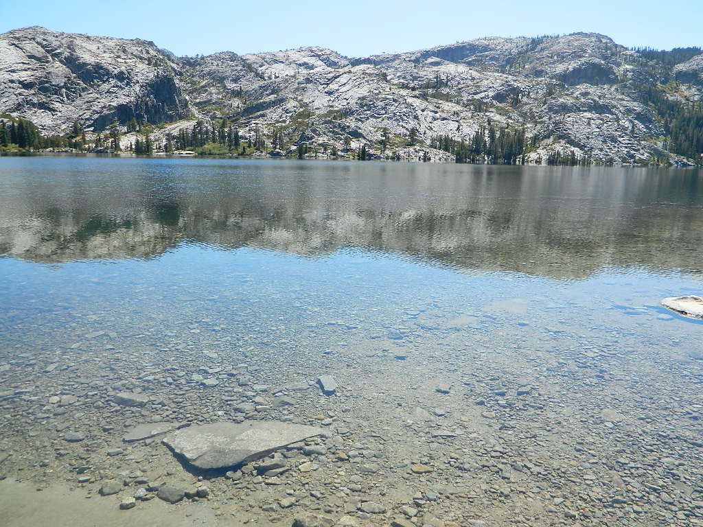
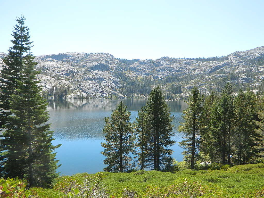
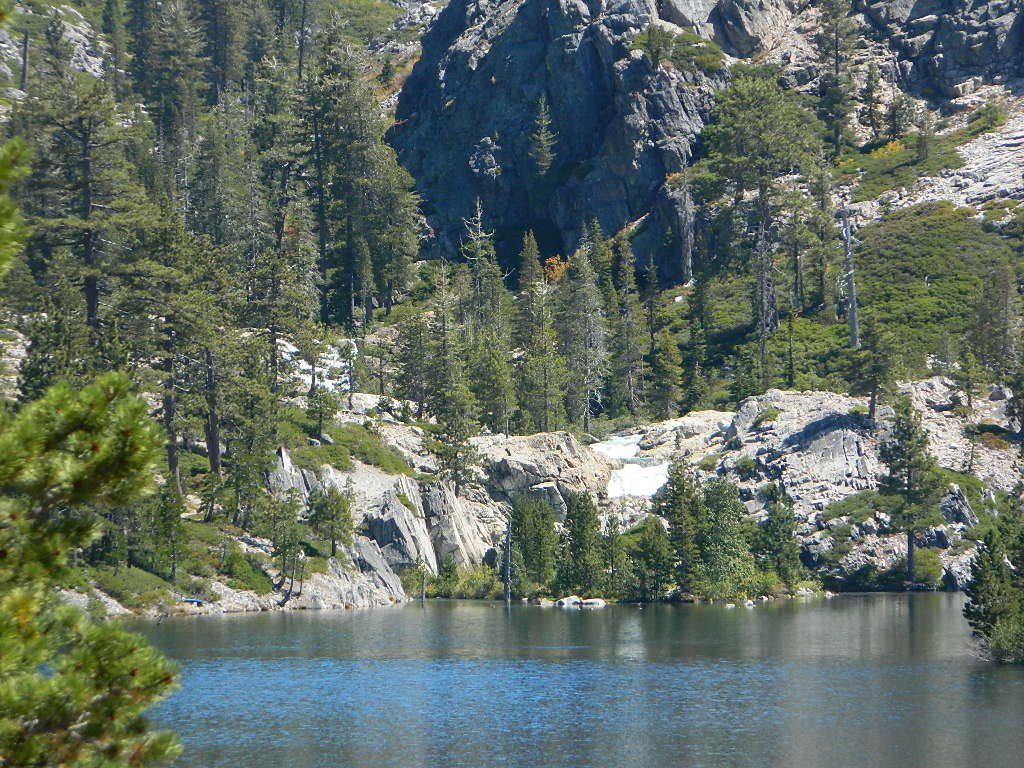
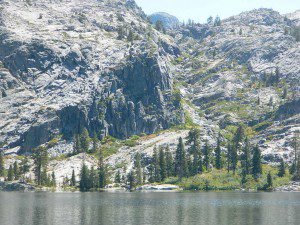
Lake Faucherie is set in spectacular scenery of granite mountains, with peaks and waterfalls all around. Many believe that you could only reach this kinda high elevation beauty by foot, with a backpack, but here it is – accessible by a very long, rough & rocky backroad.

No motorhomes, no camper trailers, no motorboats, no engine noises on the lake, no big families. Just well-deserved solitude, finally. Peace and quiet!

Perfect alpine lake for car-top boaters – those who carry their boats on top of a vehicle. But be warned very few ‘passenger cars’ make it back this far, due to the challenging roads.

BACKPACKING, CAMPING, CANOEING, FISHING, FLOATING, HIKING, KAYAKING, OFF-ROADING, SOAKING, STARGAZING, SWIMMING

No motorized boats or watercraft allowed. One public boat ramp; gravel parking area, vault toilets, gated entry for group campground. No more driving across dam (it is now gated).

NFS NFS NFS kayak camp hiking mountains NFS backroads snowmelt stars

Faucherie Lake Road – a spur road, off of the ‘843 Road’ leads up to both Sawmill & Faucherie Lakes, as well as the Canyon Creek Campground.

This primitive road forks off at Jackson Creek Campground, Tahoe NF, way, way back behind Bowman Lake. The rugged route is also known as Nevada County Rd #843-037. Conflicting numbers appear on USDA web site for this route, so don’t get confused.

The brown Forest Service signage is decent at Jackson Creek Campground – so if you get that far, you’re almost there. Sorta. Did I mention how crazy the road is? Any wet weather or snow will make this route “4×4 required”. This place is closed off about half the year, due to deep snow (NOV-MAY). Although on summer weekends, this area is busy for a remote high Sierra lakes region.

To reach this rugged Canyon Creek takes hours of driving with a good backcountry map and a reliable, high clearance rig. AWD Subies and mini SUVs beware, you’ll need a spotter on the bad sections of this road (or risk serious oil pan damage). Or perhaps maybe, we “shouldn’t be back on these kinda roads in that ‘lil sportwagon’ missy.”

See more details on driving directions for Canyon Creek Campground.

Crystal Clear Faucherie

Faucherie Lake Group Campground
(25 people maximum per site)

• Elevation: 6135′
• Number of Sites: 2
• Vehicle Access: High Clearance Vehicle, no trailers
• Campsites Reservation: Yes
• Camp Fee: Yes
• Season: June – October
• Trailheads: Faucherie Lake Falls, Five Lakes Basin, French Lake, Haystack Mountain

camp
Faucherie Group Camping

Campground Reservations:
Nevada Irrigation District
530-265-5302

incoming flow

Faucherie Falls – Six waterfalls above lake:
Upper Faucherie Lake Falls #1: 39.4257 N, 120.5616 W
Upper Faucherie Lake Falls #2: 39.4257 N, 120.5606 W
Upper Faucherie Lake Falls #3: 39.4262 N, 120.5568 W
Upper Faucherie Lake Falls #4: 39.4268 N, 120.5550 W
Upper Faucherie Lake Falls #5: 39.4270 N, 120.5544 W
Upper Faucherie Lake Falls #6: 39.4272 N, 120.5538 W
USGS Topo: English Mountain

Granite Faucherie

Trinity Alps Camping

Trinity Alps Wilderness Campgrounds

Northern California Camping
Shasta Trinity National Forest

Trinity Alps Wilderness

camp


  • backpacking
  • camping
  • fishing spots
  • floating
  • hiking
  • hunting
  • kayaking
  • mountain biking
  • off-roading
  • soaking
  • swimming holes
  • tubing
  • stargazing

trinitydetail

campgrounds near Trinity trailheads –

camping Highway 3
(California State Route 3):

  • Horse Flat Campground, near Eagle Creek trailhead
  • Eagle Creek Campground @ Hwy, near Stoddard Lake & Eagle Creek trailhead
  • Goldfield Campground, near Boulder Creek trailhead
  • Big Flat Campground (via Coffee Creek Road #104)
  • Preacher Meadow Campground @ Hwy, near Swift Creek trailhead

camping Highway 299
(California State Route 299):

  • Ripstein Campground, near Canyon Creek trailhead
  • Hobo Gulch Campground, on Road #34N07
  • Hayden Flat Campground, near Big French Creek & Green Mountain
  • Denny Campground, near Jim Jam Ridge, East Fork & New River; Way out west
  • Groves Prairie Campground, near Grizzly Camp trailheadtrinityalps_lg
  • Happy Camp Campground, near Grizzly Camp trailhead

camping Highway 96
(California State Route 96):

  • Tish Tang Campground, near Tish Tang trailhead
  • Box Campground, near Red Cap Lake, Bear Hole & Mill Creek Lake
  • Klamath Riverside Campground @ Hwy, near Salmon Summit

camping Salmon River (Cecilville Road #1C02):

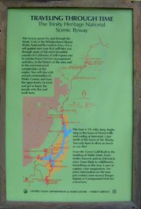
trinitysign
Trinity Scenic Byway (CA SR 3)

NorCal Topographic Maps – Trinity Map

Shasta Trinity National Forest Map

Pacific Crest Trail Map #6 (Shasta Cascades)

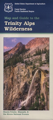
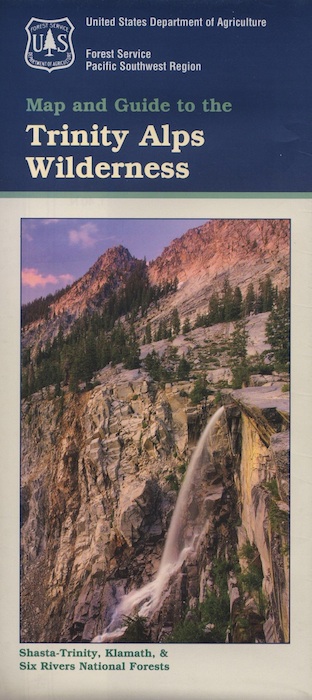
Trinity Alps Wilderness Map

outdoor destinations also nearby –


View Larger Map