Tag Archives: snow

South Warner Wilderness

Warner Mountains
Modoc Country
Northeast California
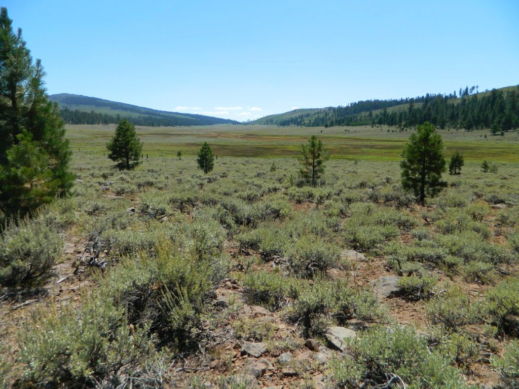
Road 64

Wide open spaces, mountains, rivers and ranch lands. The very last of the unexplored high country of California. Rural and rustic regions are full of forested mountain ranges with sage brush meadows lying below. Valleys are high elevation deserts with a base terrain sitting above 4000′; Peaks @ 8000′ above sea level.

South Warner Wilderness

70,000 acres
80 miles N of Susanville, CA
Modoc National Forest
NFS

South Warner Wilderness is in the southern portion of the Warner Mountains, a north south positioned range, located in the top corner of the golden state. Surprise Valley lies to the east, bordering the Nevada state line and Alturas w/ US Hwy 395 on the west side.

California SR 299
Hwy 299, the only paved thoroughfare cuts right through the middle of the Warner Mountains. Paved Parker Creek Road #56 climbs up Parker Creek from Alturas, accessing camping, hiking, dirt back roads and wilderness trailheads. Warner Mountains State Game Refuge is north of the wilderness area.

One dirt route skirts the wilderness boundary – West Warner Road #5, which leads from Parker Creek due south to Jess Valley Rd #64. Blue Lake Road, Patterson Mill and Road #39N15 are nearest to East Creek. Winter driving tips from NFS.
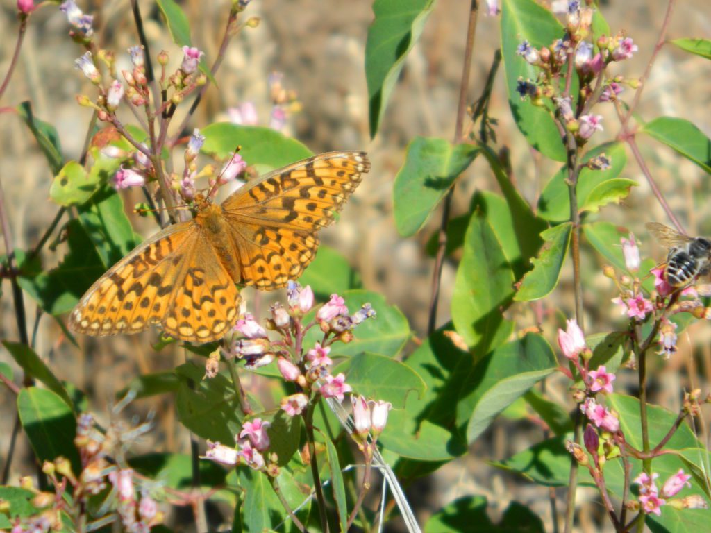
butterfly

  • backpacking
  • camping
  • creeks
  • fishing
  • hiking
  • horseback riding
  • hot springs
  • lakes
  • waterfalls
  • wildflowers
  • wildlife

South Warner Lakes & Reservoirs lake

  • Clear Lake
  • Patterson Lake
  • Porter Reservoir (elev 6682′)
  • West Valley Reservoir (elev 4761′)
  • Blue Lake
  • Sworinger Reservoir (elev 5868′)

South Warner Trailheads hikes

  • Summit North Trailhead (Road #31)
  • Pine Creek Trailhead (Road #5)
  • Mill Creek Trailhead (Road #40N24)
  • Clear Lake Trailhead (Road #5)
  • Summit South Trailhead (Road #64)

mill creek falls modoc

South Warner Campgrounds camp

All these campgrounds listed can be accessed by a vehicle, most by narrow back roads (some dirt). If you prefer to drive on paved roads only, then you’ll need to choose Blue Lake or Mill Creek Falls. Deep snow closes forest roads and campgrounds are generally only open a few months per year, from May to October.

South Warner Mountain Peaks

  • Squaw Peak (elev 8646′)
  • Warren Peak (elev 9710′)
  • Dusenbury Peak (elev 9710′)
  • Eagle Peak (elev 9892′)
  • Cole Peak (elev 8970′)
  • Emerson Peak (elev 8989′)
  • Hat Mountain (elev 8737′)
  • Red Rock Mountain (elev 8518′)

south warner mountains map

Wilderness permits can be obtained at local ranger station: NFS
Modoc National Forest
225 West 8th Street
Alturas, CA 96101
530-233-5811
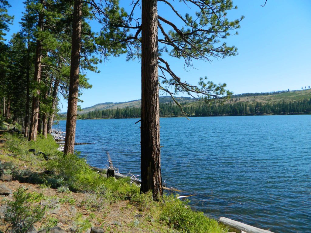
Blue Lake Modoc
Blue Lake Modoc

nearby towns –
Sardine Lake California

Sardine Lake California Camping

Lakes Basin California, Northern Sierra

Lakes Basin Recreation Area

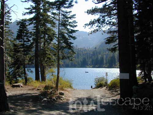
The granite spires of the Sierra Buttes (8591′) tower above both Upper & Lower Sardine, making for a glorious backdrop to these two lakes. This is a popular fishing lake with no swimming allowed. The water is so clear that at noon you can see to the bottom!fish

There are numerous, super-scenic, small lakes in this region and one trip here is not nearly enough. Total Escape rates this collection of small lakes up there w/ the ‘best hiking lakes’ in California. The Pacific Crest Trail runs through this awesome lakes area, which is located north of Truckee, east of Downieville.

backpacking
boating
camping
canoeing
fine dining
fishing
hiking
granite peaks
kayaking
mountain biking
off-roading
stargazing
waterfalls
wildflowers


snowmelt lake snowmelt lake snowmelt lake
high elevation means snow

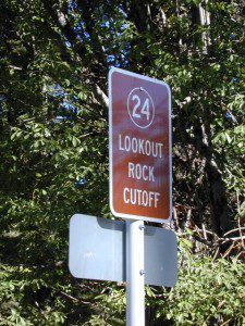
Plumas Co Road #24 is the Gold Lake Road, also referred to as the Gold Lake Highway – which skirts the lakes, the buttes and connects Historic Gold Country Hwy 49 to Graeagle Golfing @ Hwy 89. SNOW CLOSES THIS ROAD, but the area remains open for winter recreation.camp

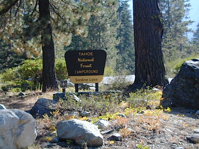
SARDINE LAKE ROAD, a paved turn off the main road. NFS Campground is located one mile from the shore at Lower Sardine. Sardine Lake Resort rents cabins and the restaurant serves dinners w/ lake view!

fishing lake Gold Country Lake hiking trailheads National Forest Service Developed Campground

Sardine Lake Campground

• Elevation: 5800′
• Number of Sites: 29
• Vehicle Accessibility: RV 22′
• Campsites Reservation: Yes
• Camp Fee: Yes
• Facilities: piped water, vault toilet
• Length of Stay: 14 Days
• Season: June – October
• Trailheads: Sierra Buttes & PCT

sardine campground sign

National Forest Service Rangers Quarters

Sardine Peak Lookout
SARDINE PEAK FIRE TOWER LOOKOUT (NFS)
Built in 1935, a three story enclosed tower with external stairs. 2019 – No longer available as an overnight rental. (elevation 8138′)

panoramic

Upper Sardine Lake California

Upper Sardine Lake: Takes only a short hike to get to. This is a pure glacial bowl; the rock plunges straight into the water, no beach at all. Great fishing; ice-cold swimming.

local contacts for this lake:

Sardine Lake Resort
530-862-1196

Row boat rentals on Sardine Lakecanoe
530-862-1196

Canoes rentals on nearby Packer Lake
530-862-1221

Plumas County Visitors Bureau:
800-326-2247

Plumas National Forest Rangers:
530-862-1368

Sierra County Visitors Bureau:
800-200-4949ranger

nearby towns:
Downieville, CA
Graeagle, CA
Sierra City, CA

nearby lakes:
Gold Lake
Sand Pond
Packer Lake

maps of the region:
Lakes Basin Map USDA
NatGeo Sierra Buttes Map
Plumas National Forest Map
Tahoe National Forest Map

Mono Hot Springs

High Sierra Nevada
Mono Hot Springs

Sierra Snowmobile Destination

Mono Hot Pools @ San Joaquin River
Sierra National Forest

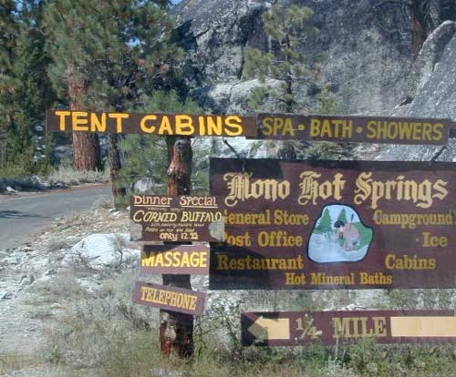
Best of both worlds, way back in the boonies – two primitive tubs soaking perched on a soggy hill next to a big river, developed campground below, and a small resort w/ cabins, camping, restaurant and private soaking areas on the other side of the river.

Sierra hot springs15 mi. NE of Huntington Lake off Kaiser Pass Rd. Huntington Lake & Hwy. 168

Two squared cement tubs overlooking the San Joaquin River, deep in the Sierra Nevada Mountains.

The coolest thing about this primitive hot springs is that it is a great destination for a one day snowmobile adventure. Rentals are in the nearby community of Lakeshore & the plowed paths are fairly easy to follow. If you plan on visiting the springs, you must not play around in the meadow much, there is plenty great Sierra scenery to be had. The snomo trip is a good 5 hours round trip with a lunch break & dip at mineral spring tubs.

  • backpacking
  • boating
  • camping
  • cross country skiing
  • fishing
  • hiking
  • horseback
  • kayaking
  • mountain biking
  • mountaineering
  • snow mobiling
  • stargazing
  • swimming
Sierra Snow-Mobiling
Sierra Snow-Mobilin’

snomo sierra hot springs

Kasier Pass WildernessWinter: road is closed half the year due to heavy snow. Summer: snow is gone and the road is open.

KAISER PASS ROAD
Large motorhomes, RVs are not allowed on this long, steep, narrow paved route.

Max vehicle length: 25 feet

Take Hwy.168, turn right on Kaiser Pass Rd, just past the big ski resort. Pass the large meadow & follow signs to Mono Springs & Lake Edison. Make sure not to miss the left turn or you may end up at Florence Lake.

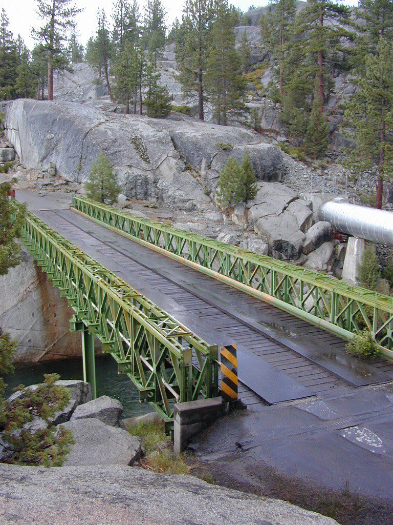
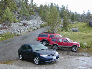
Parking near the green bridge over the San Joaquin River & hike over to the tubs on the hillsides. If there are other vehicles parked here, expect to see naked people nearby; Soaking should never be rushed. Clothing is optional – in California.

Green Bridge at San Joaquin Headwaters
camp

Mono Hot Springs Campground NFS

• Elevation: 6700′
• Number of Sites: 30
• Vehicle Accessibility: RV 25′
• Camp Fee: Yes
• Campsite Reservation: Yes
• Toilet: Vault
• Length of Stay: 14 Days
• Season: June – September
• Trailheads: Ansel Adams & John Muir Wilderness

NOTE: This USFS Campground, should not to be confused with the neighboring business, a privately run camp called –

Mono Hot Springs Cafe w/ Cabin Resort

Mono Springs Sign

closest forest, lakes, & destinations:NFS

topo maps for this region:

Parking Spot

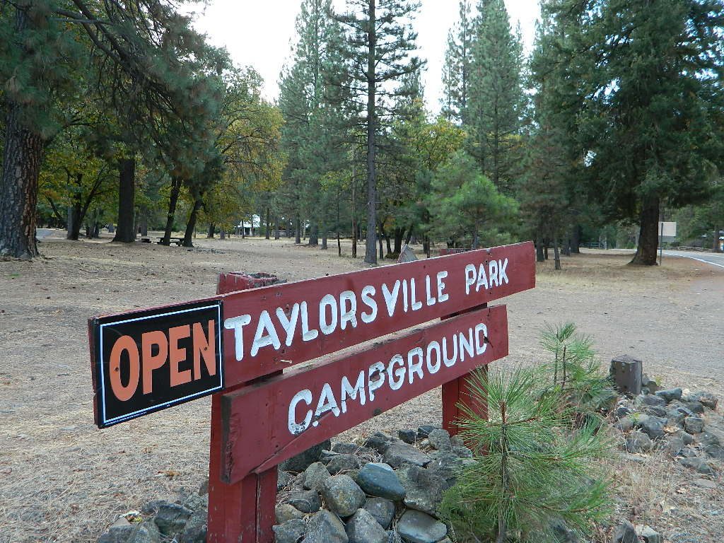
Taylorsville Campground

northvalleycurves

Taylorsville Campground

at Indian Valley, Northern Sierra Nevada mountainscampfire

also known as –
Taylorsville County Campground
Taylorsville Community Campground
Taylorsville Park Campground

sepiacampBeautiful North Sierra Nevada. The rural country life is out here… in the mountains of NorthernCal. Cattle ranches, a few sheep, grazing deer, big old barns, bike races and much residential. Taylorsville is a very small town, on the edge of the Indian Valley. Right across the valley from Greenville and Round Valley Reservoir.

All surrounded by Plumas National Forest

campTaylorsville Park Campground

elevation: 3200′
camp sites: 32
piped water near camp: yes
toilets: flush
showers: yes
fee: yes
season: May-October

walktotown
Easy Walk to Town – Taylorsville, CA

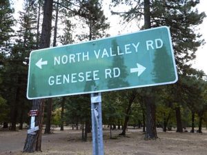
The wooded campground is located at the intersection of North Valley Road, Genesee Rd and Arlington Rd –  a few miles off the main highway 89.

Looking for a quiet place to tent camp in between Quincy & Greenville? then this is it. The best developed campground option in the whole region. Closed for winter months – cuz it does snow pretty good up here.

grillsurface

This shaded tent campground loop is on a hillside; across the street from the small rodeo grounds, the community park w/ picnic areas, tennis courts and a small RV park. Campground host located behind the bathrooms.

Nearest local laundromat in nearby Greenville, behind the main grocery market.

showers

bathing… would be nice

Flush toilets and showers, affordable overnight prices, plus ideal walking-hiking-biking location make this a special campground worth mentioning!

  • walk to townhiker
  • mountain biking
  • cycling
  • hiking
  • tennis

taylorsvillecamp

towns nearby:fish

maps of the region:


northvalleyrd600


Wilderness Lakes

Lake Genevieve
Lake Genevieve, hike-in only access. Way up behind Convict Lake @ Mammoth Lakes, CA

calif lakes / secluded lakes / loop hike around lake / best lake in california / lake elevation / geology lakes / alpine lakes

hike-in lakes

Wilderness lakes are as pure as it gets. No cattle, no roads nearby. Snow melt, cool days, good fishing, great mountain scenery, granite, fresh air & clean water. You have to really wanna reach them. You must physically WORK to get to these remote alpine wonderlands – hike, bike, or horseback.

Heart Lake
Heart Lake, near Onion Valley & Kearsarge Pass

Some lakes are accessible via a day hike, with miles of forest trails or granite switchbacks in between. Waterfalls, wildflowers and wildlife will keep you entertained, as you enjoy your trek. No rush, no pressure; Go slow and take it all in. Remember, it’s not a race!

Most people prefer to backpack in to these locations and stay a while. Why not? These puppies are ACCESSIBLE only a few months outta the whole year. May as well enjoy them while you can. The rest of the time they are frozen solid or buried with serious snow. Wilderness areas do not allow dogs nor mountain bikes on trails, so plan accordingly.

camp, fish, hike, horseback, swim

California is lucky to have hundreds of lakes within protected wilderness areas. Almost all are gorgeous and have very limited access. While we haven’t yet been able to hike every Wilderness in Cali, we will leave you with the visuals and links, plus a way to buy the specific topo maps.

California Wilderness Lakes

Ansel Adams Wilderness

Bucks Lake Wilderness

Carson Iceberg Wilderness

Desolation Wilderness

Granite Chief Wilderness

Emigrant Wilderness

Hoover Wilderness

John Muir Wilderness

Lassen National Park

Mokelumne Wilderness

Monarch Wilderness (Kings Cyn)

Jennie Lakes Wilderness

Thousand Lakes Wilderness

Trinity Alps Wilderness

Yosemite National Park

wild California


HIGH ALTITUDE LAKES:
4000′ elevation to 14,000′ elevation

snowflake

SEASONAL deep SNOW makes many of these beautiful lakes inaccessible for more than half the year. Call ahead to local rangers to make sure your desired destination is indeed open for traffic. Certain locations may require snow shoes, snowmobile or a 4WD to access.

Forget the hike!

If you are seeking a remote mountain lake that you can drive to, you will need to search for one that has the fewest people. A high clearance vehicle will help you exit the tourist traps, via plenty of the back roads. Some dirt roads are acessible with just a passenger car or AWD wagon. Talk to the ‘field ranger’ for up-todate road conditions and closures.campfires Make sure to get a campfire permit, before you camp outside of developed campgrounds. Always steer clear of crowded, holiday weekends.

Juniper Lake Table
Juniper Lake – Lassen NPS

California LAKE LIST

The lake list above samples most of the lakes in California. For secluded locations and rare finds (accessible by vehicle), see the list below and follow links for more info.

fernlake
Fern Lake – hike in access, June Lake Loop Hwy 158

More California regions with pristine lakes, but not dubbed Wilderness:

turtleandfriend
Turtle and Friend, Junction City, CA
Sunrise Lakes
Sunrise Lakes, Yosemite Loop Hike


California Elevations

conradkid
High Sierra hiking @ 12,000 feet above sea level

elevation

high altitude towns    well above sea level

The majority of California cities are located near sea level, with low lying farmlands and populated coastlines common throughout world geography. California has super diversity w/ the population, as well as the elevation and the terrain. Vast rugged deserts bordering Nevada, from high deserts (8000′ @ Bodie ghost town) to low deserts (below sea level for Mecca) near the Salton Sea. Towering granite peaks with minimal vegetation, to fern canyons and redwood groves at the coast, California has quite the unique landscape.

The beautiful golden state is also home to the highest and lowest point within the lower 48 states; and those points are only about 100 miles apart – Death Valley  (-282′ elev) and  Mount Whitney  (14,494′ elev).

I-80 Donner PassMTN TOWN: upper elevation mountain towns w/ forests and flowing water, are primarily located in the Sierra Nevada range which runs the backbone of California in a north-south direction,  separating the Pacific Ocean from the Great Basin. High altitudes are abundant in California, especially in the Eastern Sierra – but most are only accessible by foot.

Mountain communities in Southern California includes places like Mount Laguna, Palomar, Big Bear, Arrowhead, Idyllwild and Mount Pinos.

The coastal mountain range and the Sierra Nevada  encompasses most of Central California. The rest of the space is dedicated to large cities, farmlands and farming towns – which are most lower elevation. Orchards and vineyards can be found in the foothills (200′-2000′ elevation)

Northern California has more mountains and rivers, generally higher elevations and plenty more space to explore. Secluded forests, rivers, creeks, lakes, and reservoirs can be found above 2000′ elevation, north of Sacramento. The bigger mountains in the far north part of the state are part of the Cacade Range, which is volcanic in nature. (Mt. Lassen & Mt. Shasta). More water, more trees and more land – NorCal is very different than the lower half of the golden state.

hwy33overlook
North of Ojai, CA – Highway 33 winds up to Los Padres NF

California Elevation Breakdown

  • Alpine lakes, streams, forests, mountain peaks, granite scenery is abundant above 6000′ elev.
  • Pine forests, junipers, sage chaparral, manzanita, joshua trees can be found between 3000-6000′
  • Hot Springs, creek canyons and cottonwoods are usually discovered above 2000′ elev.
  • Oak hills, ghost pines, creek beds, river canyons  and most agriculture range from 1000-3000′
  • Under 1000′ elevation is the majority of the populated cities and towns within California; coastline, urban areas, foothills, farmland and a few reservoirs
Mecca Hills
Mecca Hills, below sea level

GoogleMaps – groundbreaking tool for trip planning and checking out trailheads, camps and dirt roads from overhead

USGS Viewer – topographic overlays for altitude estimates, and various imagery

California Elevations Map

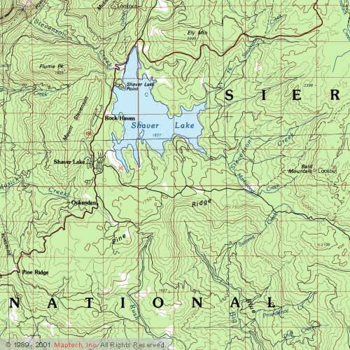
shaverMS

snowflakeSnow is always a factor in mid to high altitude towns with road conditions being unpredictable with each mountain range and each micro-climate. Winter months range from late October to May, so be warned. Above 3000′ elevation usually gets some snow. Serious snow above 5000′. Some High Sierra Passesdon’t open until JULY (Yosemite Hwy 120 & Sonora Hwy 108). Carry tire chains or have 4×4 to travel safely on snowy roads. Guard rails are seldom around every curve.

list of California towns
by elevation


Rainbow Lodge California

bishopbelow
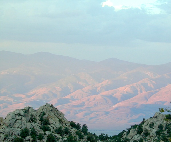
Above Owens Valley (US 395) at sunset, as seen from the Sierra side (8000′ elev)

28E201 – Inyo NF

trailsdown

Road #28E201 – Inyo National Forest
also known as Inyo Road #4S86

Laurel Lakes Road
Inyo National Forest
Eastern Sierra, California

Southeast of Mammoth Lakes, CA
West of Crowley Lake, CA

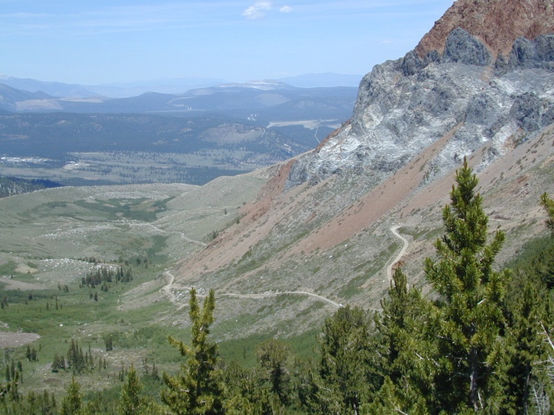
Steep, rocky, gravel road, way up above (and behind) Convict Lake. 4WD may be needed during wet or snowy weather. High clearance is always advised. Locked GATE at the bottom means the NFS rangers have closed the route (seasonally) for deep snow, rock slides, avalanches, or other erosion hazards.

Laurel Canyon, US Hwy 395
Laurel Creek
Laurel Lakes

amigoaspens
Laurel Lake Road, Eastern Sierra

Find more INYO BACK ROADS

  • backpacking
  • camping
  • fishing
  • hiking
  • horseback
  • lakes
  • mountaineering

GenevieveLake

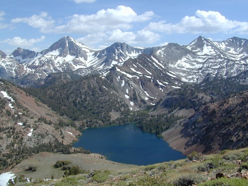
Trailhead to Lake Genevieve (pictured above), hike lake loop, snowy peaks.
NOTE: No easy access to the PCT (Pacific Crest Trail)

Laurel Mountain (elev 11,818′)
Bloody Mtn. (12,544′)

oldestrocks

gnarlyrocks
CLICK TO ENLARGE

Geologic:

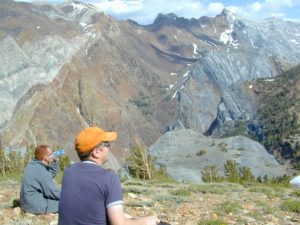
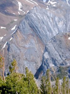
Oldest, exposed rock in the Sierra Nevada mountains range. Buckling granite w/ volcanic rocks. Evidence of glacial activity including, terminal, lateral, and recessional moraines, glacial striations and polish, erratic boulders, and of course the numerous lakes. see more

Volcanic Eastern Sierra
Volcanic hikes in the Eastern Sierra

6S05 – Inyo NF

6S05bridge

Paved, one-lane extension of #4S12, Rock Creek Road.
Up above Rock Creek Lake, East Sierra Nevada, California

High elevation 10,272′ at roads end and parking lot

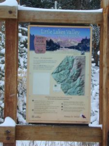
Little Lakes Valley Trailhead
Mono Pass
Morgan Pass
John Muir Trail (JMT)
Pacific Crest Trail (PCT)

Mosquito Flat Picnic Area

Restrooms, paved parking lot, nature trails, fishing creeks, horseback, wilderness trails.

hikes NFS camp horse camp

Mosquito Flat Walk-In Campground is intended for backpackers departing overnight into the backcountry the following day. Single night stay ONLY. Please camp down canyon if you plan to stay for more than one night. Bear lockers are provided at campgrounds for proper storage of food items, so use them!

No campfires are allowed outside of developed campgrounds. Day use does not require a permit. Wilderness permits are required for overnight trips into the John Muir Wilderness. Bear containers are required for backpackers. Permits for these trails are issued at Inyo National Forest ranger station in Mammoth, or the Eastern Sierra Visitors Center (ESIA) near Olancha.

littlelakesvalley

John Muir Wilderness (JMT) trails, Pacific Crest Trail (PCT), epic scenery, alpine lakes, high elevation. Eastern Sierra

Rock Creek NFS Hiking Trailheads (download PDF)

Rock Creek Pack Station provides wilderness pack trips on horseback, and day rides too.

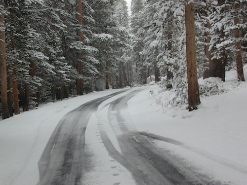
Road and canyon is CLOSED for winter snow approx. NOV-MAY

snowlane

Peaks and passes surrounding Rock Creek Canyon, in the Eastern Sierra Nevada Mountains –

Red Mountain 11,472′ (elevation)
Mount Morgan 13,748′
Morgan Pass
Mt Huntington 12,405′
Mono Rock 11,554′
Mono Pass
Mt Starr 12,835′
Mt Mills 13,451′
Mt Abbott 13,704′
Round Valley Peak 11,943′

Hike or horseback ride to these alpine lakes from Rock Creek Rd trailheads –

Davis Lake
Hilton Creek Lakes
Patricia Lake
Golden Lake
Pioneer Basin Lakes
Trail Lakes
Summit Lake
Ruby Lake
Mills Lake
Gem Lakes
Treasure Lakes
Dade Lake
Upper Morgan Lake
Lower Morgan Lake
Chickenfoot Lake
Little Lakes
Box Lake
Heart Lake
Marsh Lake
Serene Lake
Eastern Brook Lakes
Tamarack Lake
Buck Lake
Francis Lake
Dorothy Lake
Kenneth Lake

1S63 – Inyo NF

junelakeloop

June Lake Loop – Hwy 158

also known as Road #1S63 – Inyo NF
and as California State Route 158
CA SR 158, or just Highway 158

Eastern Sierra Nevada

The quieter side of outdoor life can be found around June Lake. Fishing, camping, cabins, lodging, several lakes and one ski resort. When the busy-ness and crowds of Mammoth Mountain annoy, it is time to look elsewhere for your Eastern Sierra vacation.

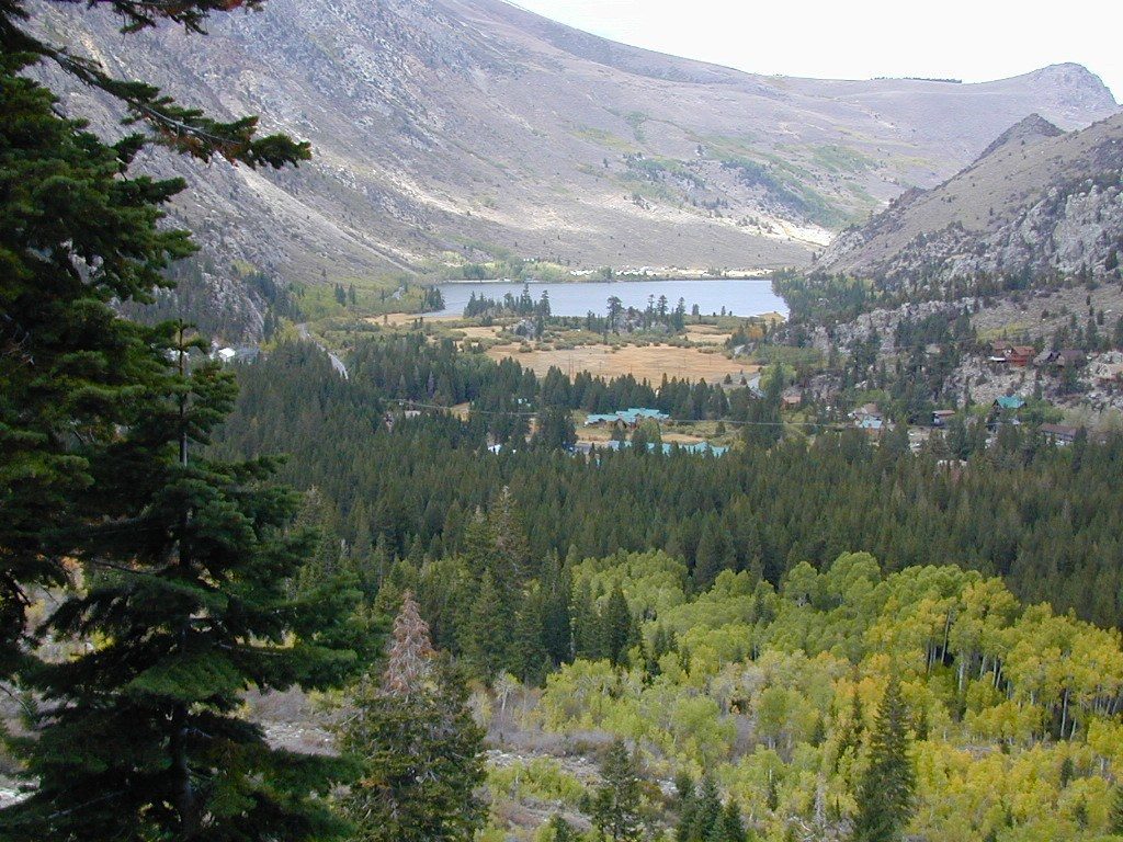
June Lake is the neighboring community to the north, just a few miles from Mammoth, off US 395. The paved loop highway (158) is a wondrous scenic drive and awesome for outdoor recreation; but is subject to winter closures during NOV-MAY.

backpacking
boating
camping
fishing
hiking
horseback
snow ski

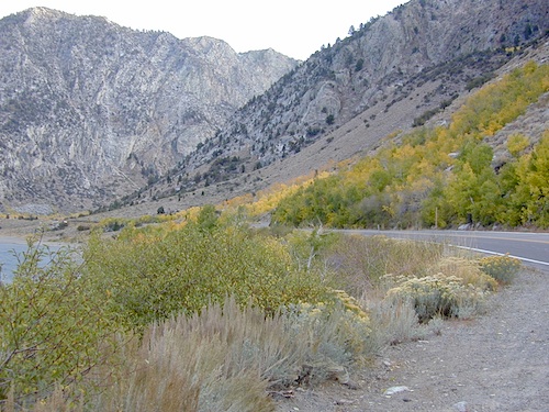
Autumn colors on this highway attract a fair amount of annual visitors. Book campgrounds or lodging (in summertime) for late September to early October for the best timing on fall foliage. First snow of the season usually arrives sometime in October.

grantcontrast
lake and creeks near the loop –

June Lake
Gull Lake
Silver Lake
Grant Lake

Rush Creek
Reverse Creek
Walker Creek

fernlake

Fern Lake – hike-in

walkerlake

Walker Lake – hike-in

Inyo Forest Road #1N17 is a dirt road, off the main highway. Route leads north from Grant Lake over to Lee Vining junction @ CA 120. Numerous side routes up into scenic canyons, most of which are well signed. Perfect exploring for day hikers, creek fishing, small lakes and primitive camping spots.

Parker Lakes
Walker Lake

Inyo National Forest
Ansel Adams Wilderness

June Lake, CA

nearby towns:
Lee Vining, CA
Mammoth Lakes, CA

area maps:
Inyo National Forest USDA
Ansel Adams Wilderness Maps
Mammoth Lakes Map by NatGeo

Secluded Lake

Sierra Nevada lakes

Often called fly fishing lakes, or backpacking lakes, these are usually located in the mountainous parts of California. Remote lakes that are ‘hard to reach’ come in 2 varieties:

hike-in lakes

Backpacking Lakes, found in the Sierra Nevada Wilderness or Northern California Wilderness Areas.

Some of our absolute favorites include:

drive to lakes

These are often many miles down a dirt road or narrow paved route (neither which is recommended with a big trailer or large motorhome). Matter of fact, some of these lake destinations require 4 wheel drive to access them. You will need a good vehicle, maps, possibly more than one. You will need time to enjoy these. They require a fair amount of work to get to, but the rewards are immense.

Angeles Crest Hiking

Hiking Trails Los Angeles

another two bite the dust

localhikes.com – GONE
latrails.com – GONE

Millard Falls
2 mi RT; 1200′ elevation; oaks.
Arroyo Seco District –
of Angeles National Forest
818-790-1151
Altadena CA
From Interstate 210 in San Gabriel Valley, exit Lake Ave., go N & turn left/west onto Loma Alta Dr. & to Chaney Trail & follow signed dirt road

LA waterfalls

Sturtevant Falls
5 mi RT; 4600′ elevation; oaks, creek-crossings.
Santa Anita District –
of Angeles National Forest
818-899-1900
inside Big Santa Anita Canyon
From Interstate 210 in San Gabriel Valley, exit Santa Anita Ave.Go North/East, through neighborhood & up mountain to paved parking lot.

More hikes on Angeles Forest

  • Big Tujunga Wash
  • Circle X Ranch
  • Mendenhall Ridge
  • Mount Lukens
  • Newhall Pass
  • Strawberry Peak
  • Towsley Canyon
  • Verdugo Mountains

Hiking Los Angeles Area

Angeles Forest – Los Angeles California

nearby towns –
Angeles Maps – hiking, OHV & mountain biking –

Dinkey Creek

Dinkey Creek, California

dinky what?

Dinkey Creek California
Dinkey Creek really ain’t all that small is it?

Dinkey Creek elevation 5700′

Dinkey is a major feeder creek originating with high altitude lakes in the Wilderness above, flowing down to the Kings River. Dinkey Creek has a seasonal large campground and a general store that is open during the summer months. Campground Reservation are common since this is a well-known destination of the Western Sierra.

in the mountains above Fresno

Located deep in the Sierra National Forest, 15 miles south of Hwy 168 @ Shaver Lake, via a very long, winding, paved road. Not suitable for large motorhomes.

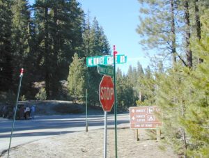
Dinkey Creek Road becomes McKinley Grove Road @ intersection of historic, wooden Dinkey Creek Bridge. McKinley Grove Rd  leads further south, past Sequoia trees, numerous other NFS campgrounds and on to the 2 big reservoir lakes (Wishon & Courtright). The Dinkey Road is usually only open during warmer months (MAY-OCT), snow & weather permitting.

Dinkey Creek Store

A very popular place for summer vacations, fishing, hiking and picnicking. The day use area near the historic wooden bridge has numerous dirt parking lots, trails, picnic tables and pit toilets. Excellent place for exploring on foot with the family, or creek fishing from the boulders.

mountains backroad horseback trails picnic fishing mountain bike camps hikesnight skiesNFS

wooden bridge
Historic Dinkey Creek Bridge

Dinkey Creek Campground RV camping

  • Elevation: 5,700′
  • Number of Sites: 128
  • Water: piped
  • Toilets: flush
  • Amenities: showers, horse corrals
  • Vehicle Accessibility: 30′ max RV
  • Campsites Reservation: Yes
  • Length of Stay: 14 Days
  • Season: May – September
  • Trailheads: Dinkey Lakes Wilderness

Mckinley Grove intersection

hikesDinkey Lakes Wilderness 

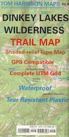
Dinkey Lakes Wildernesstopo mapsDinkey Lake Trail Map


Back roads are abundant around Dinkey, leading higher up to large, granite reservoirs (with more camping options) and numerous forest dirt roads zig-zag across the mountain terrain wherever possible.

Dusy Ershim Trail is a famous Sierra 4×4 route that connects Courtright Lake to the Kaiser Pass. Granite everywhere, slow-go rock crawling, skirting in between two Wilderness Areas.

Sierra Forest Road #11S12, is a dirt road that leads downhill, past the North Fork of Kings River, from high elevations near Dinkey to the Black Rock Reservoir and meeting up with Kings River near Pine Flat. An excellent loop trip for those wanting to experience dispersed camping on the back roads, but a high-clearance vehicle is required. This road is gated and closed for winter, so call ahead to the rangers, to see if it is open before you make the journey.

Wilderness Wishon California
Wilderness Wishon

This whole Western Sierra is home to major hydroelectric dams that create a water supply for farms and cities located in the Central Valley below.

nearby lakes –


Lake Campgrounds

Rancheria Falls
Rancheria Falls, Huntington Lake, CA

California Lake Campgrounds

Wanna Camp at the Lake?
(you’re not the only one)

lakes  fishing boating mountains backroad horseback trails picnic mountain bike camps hikesnight skies

Nothing beats fresh, cold, clean water from the California mountains, in the summertime. Find time to exit the urban rat race, soon. Escape the smoggy city life and the triple-digit heat for a road trip to the higher elevations.

View East from Davis
Crocker Mountain @ Lake Davis, California

Lake Campgrounds are abundant in California, where man-made reservoirs and recreation abound. Alpine lakes in pine forests are also numerous in the west, although only accessible for a portion of the year, they draw in the campers all summer long. A majority of the small lakes are located inside the California National Forests.
USDA / USFS / NFS

NFS State Parks

Larger reservoirs can often be managed by California State Park system. State Parks, SRA, State Recreation Area. Suburban lake locations can be local County Parks. A few locations listed could even be desert lakes.

Many ideal secluded lakes are only accessible with a 4WD vehicle, by foot or horseback. Super scenic, backcountry lakes are so far out – that a day hike is usually required.

tent camp developed campground

primitive camping primitive campsites

RV camper trailers allowed RV campground

hikes wilderness access

Spicer

No motorized boats, camping on west shoreline only, no fishing from the dam, catch & release?

No access for trailers? Individual rules for each lake are different. Learn the basic before you get out there.

CAMPGROUND RESERVATIONS tent camp

Lake Campgrounds are so popular in California that many require reservations during summer. Many locations accept reservations online and we have links for those too. Other lakes are so small and remote, that only the fishermen, hikers and 4×4 gear-heads know of them.

outdoor recreation found at or near lakes

  • backpacking
  • boating
  • camping
  • canoeing
  • creeks
  • fishing
  • floating
  • four-wheelin
  • hiking
  • horseback riding
  • house boating
  • jetski
  • kayaking
  • mountain biking
  • OHV trails
  • picnicking
  • rivers
  • river rafting
  • swimming
  • water skiing
  • waterfalls

Silver Lake from Above

Lake destinations listed here have some sort of campground facilities. Some may be mini resorts with boat launch, marina or bait shop/general store. RV hook-ups, maybe. Dump station, it will cost you. Usually these bigger lakes are busy centers of tourists activity with boat rentals, RV camping and certain locales are even walking distance from ‘town’.

Fine dining is a rare find on the lakes, but some lake side restaurants (open seasonally & with limited hours) can be found. Most will require reservations, especially on the weekends.

Other lake camps listed are literally on the edge of wilderness – with trails to the high country. The best little lakes will have one dirt road access. Below is a wide variety of lake destinations within California.

 gardisky_lake

Floating Flyfishing Tube
Red Lake, 4×4 access (primitive, no facilities)

and let’s not forget the ever-popular California Lake List

Grassy Picnic Faucherie Lake

Bucks Lake Wilderness

DSCN0237

Bucks Lake Wilderness Area

Bucks Lake, California
Plumas National Forest

topo mapIn the hills and canyons above Chico many wonders can be found. North Sierra Nevada mountains, medium sized recreation lake surrounded by lush forest; N of Lake Oroville and S of Lake Almanor. North Fork Feather River canyon forms the northern boundary to this designated Wilderness Area. The area is popular with backpackers and PCT hikers, as well as equestrian and the region has over a dozen campgrounds. Backcountry terrain includes an impressive 6 mile long canyon wall.

camp Bucks Lake Campgrounds

hotels Bucks Lake Lodging

The popular boating destination, Bucks Lake reservoir, is just outside the wilderness boundary, which makes for an excellent destination for day hikes. Boating, fishing, backpacking, hiking, camping, canoeing, kayaking, rock climbing, snowmobiling and mountain biking are just some of the outdoor recreation in the area. This Wilderness region features a Silver Lake and Gold Lake, as well as numerous other small, unheard-of lakes. A few can be accessed by vehicle, but more than half are hike-in only lakes.

  • backpacking
  • boating
  • cabin rentals
  • camping
  • canoeing
  • fishing
  • floating
  • hiking
  • kayaking
  • sailing
  • swimming
  • Bucks Lake Wilderness
    23,958 acres
    5200′ elevation at Bucks Lake

    Alpine wilderness, mountain peaks, hiking trails, PCT trailheads, numerous small lakes, plus large recreational fishing lake

    Bald Eagle Mountain – 7183′
    Bucks Mountain Peak – 6819′
    Mount Pleasant – 7067′

    Small lakes around the Bucks Lake Wilderness Area

    Bald Eagle Lake
    Blue Lake
    Cape Lake
    Gold Lake
    Grassy Lakes
    Jacks Meadow Pond
    Kellogg Lake
    Lost Lake
    Mud Lake
    Rock Lake
    Silver Lake
    Snake Lake
    Smith Lake
    Thompson Lake
    Three Lakes
    Upper Mud Lake

    regional maps –

    nearby towns –
    Berry Creek, CA
    Meadow Valley, CA
    Quincy, CA
    Chico, CA
    Oroville, CA

    lodge and cabins
    historic lodge burnt down, but they rebuilt and are re-opened again

    DSCN0242

    more info –

    Bucks Lake Trailheads (PDF)
    BucksLake.net
    Bucks Lake Fire Dept
    Bucks Lake Wilderness Wiki


    View Larger Map

    Trinity Alps Camping

    Trinity Alps Wilderness Campgrounds

    Northern California Camping
    Shasta Trinity National Forest

    Trinity Alps Wilderness

    camp


    • backpacking
    • camping
    • fishing spots
    • floating
    • hiking
    • hunting
    • kayaking
    • mountain biking
    • off-roading
    • soaking
    • swimming holes
    • tubing
    • stargazing

    trinitydetail

    campgrounds near Trinity trailheads –

    camping Highway 3
    (California State Route 3):

    • Horse Flat Campground, near Eagle Creek trailhead
    • Eagle Creek Campground @ Hwy, near Stoddard Lake & Eagle Creek trailhead
    • Goldfield Campground, near Boulder Creek trailhead
    • Big Flat Campground (via Coffee Creek Road #104)
    • Preacher Meadow Campground @ Hwy, near Swift Creek trailhead

    camping Highway 299
    (California State Route 299):

    • Ripstein Campground, near Canyon Creek trailhead
    • Hobo Gulch Campground, on Road #34N07
    • Hayden Flat Campground, near Big French Creek & Green Mountain
    • Denny Campground, near Jim Jam Ridge, East Fork & New River; Way out west
    • Groves Prairie Campground, near Grizzly Camp trailheadtrinityalps_lg
    • Happy Camp Campground, near Grizzly Camp trailhead

    camping Highway 96
    (California State Route 96):

    • Tish Tang Campground, near Tish Tang trailhead
    • Box Campground, near Red Cap Lake, Bear Hole & Mill Creek Lake
    • Klamath Riverside Campground @ Hwy, near Salmon Summit

    camping Salmon River (Cecilville Road #1C02):

    trinitysign
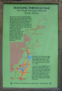
    Trinity Scenic Byway (CA SR 3)

    NorCal Topographic Maps – Trinity Map

    Shasta Trinity National Forest Map

    Pacific Crest Trail Map #6 (Shasta Cascades)

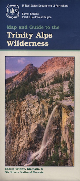
    Trinity Alps Wilderness Map

    outdoor destinations also nearby –


    View Larger Map

    Sierra Road Conditions

    Sierra Nevada Road Conditions – Highway California
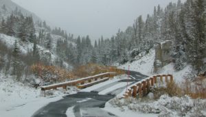
    Snowy RoadsWinter Snow/ Winter Roads Sierra Nevada:

    On rare occasions the Golden State freeway – Interstate 5 can be closed due to snow; N of Valencia on the Grapevine (near Lebec) or more likely up in NorCal (near Shasta).
    Interstate 80 (aka Donner Pass) is often closed during big storms. Luckily there are hotels in Auburn or Truckee.

    Highway conditions on mountain passes higher than 4000′ elevation can be unpredictable in winter months (Oct-May). It may be fine & just sprinkling @ 2000′, but a few miles up can be a white out. Ask anyone who’s ever driven the infamous Donner Pass in winter time. (more on Donner Party)

    Annual Sierra Highway Closures

    Ski mountains

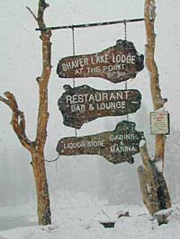
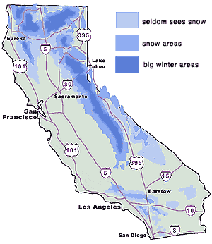
    shaver lakeWhere does it Snow in California ?
    Okay, okay ….so it’s nothing like those dreaded East Coast winters, but hey, some parts of California do get some serious snow. (see elevations) And the newbies who don’t prepare for it will be sorry. On the winter vacation travels, be prepared for almost anything, especially in the Sierra’s & Northern California.
    Snowy towns in California

    See California Weather & Road Conditions

    California Winter: When does winter actually ‘set in’ for California?

    Eastern Sierra CA: OCT- MAY
    Western Sierra CA: NOV- APR
    High Sierra CA: SEPT- MAY
    North Coast CA: OCT- MAY
    Northeast CA: OCT- APR

    The following mountain roads are partially closed or totally closed during winter months. Please check road conditions before you leave for your trip. Chains may be required in most mountain areas of California.

    CALTRANS web site

    Highway CA County Region Connecting Towns
    Hwy 155 Kern Southern Sierra Alta SierraWofford Heights
    Hwy 190 Tulare Western Divide Hwy Camp NelsonPonderosa CA
    M 375 Tulare Sequoia NP Hammond – Mineral King
    Hwy 180 Tulare Kings Canyon NP Hume Lake – Cedar Grove
    Whitney Portal Rd Inyo Eastern Sierra Lone Pine – Mount Whitney
    Onion Valley Road Inyo Eastern Sierra Independence – Onion Valley
    Glacier Lodge Rd Inyo Eastern Sierra Big Pine – Glacier Lodge
    Lake Rd Hwy 168 Inyo Bishop Area Hwy 168 – South Lake
    Hwy 120 Mariposa Yosemite NP Yosemite Lee Vining CA
    Hwy 120 Mono Mono Lake Lee ViningBenton Hot Springs
    Hwy 108 Mono Eastern Sierra DardenelleSonora Jct. Hwy.395
    Hwy 89 Alpine Eastern Sierra MarkleevilleLake Topaz
    Hwy 4 Alpine South Lake Tahoe Lake Alpine – Hwy 89
    Hwy 44 Shasta Lassen Volcanic NP Manzanita Lake – Mineral CA

    Mount Charleston Vegas

    Mt Charleston Las Vegas NV

    Mount Charleston Las Vegas NV

    Mount Charleston Resort
    Mount Charleston Resort

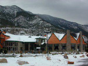
    Mt Charleston cabin rentals, vacation homes and 2 mountain lodges are located near the Spring Mountain Recreation Area, just outside of the Sin City limits. The tall alpine mountains behind RedRock SP, NW of Las Vegas, Nevada are virtually unknown by many non-locals. Great hiking, mountain biking, camping and waterfalls, plus a small seasonal ski and snowboard resort are some of the highlights. Imagine snowboarding Vegas!

    Mt Charleston Hikes
    Red Rock Canyon Map

    Las Vegas Forest Hikes

    Vegas means “the meadows”, but it sure seems more like desert these days. The forest is just up the hill, past the red rock and tract homes, well past the Joshua Trees. Conifer forests, snow and high elevation, less than an hours drive from the Vegas strip. Toiyabe – Humboldt NF is this public land managed by the US National Forest system. Toiyabe also covers Eastern Sierra slopes. Get California Toiyabe NF maps. Get the Nevada State Park map here!

    Camping Vegas

    Due to extreme dry conditions and wildfire danger no open camp fires are allowed from mid-April to mid-November in the Mount Charleston region. Several developed campgrounds, plus a primitive (dirt road) camp area off Lee Canyon. Cabin rentals are located at the Charleston Lodge.

    • Vegas trails
    • Hiking in Vegas
    • Mount Charleston skiing
    • Mt Charleston hikes