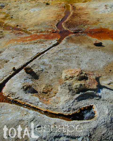
Eastern Sierra Hot Springs
Travertine Hot Pools, Toiyabe National Forest
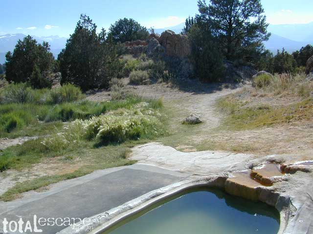
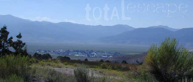
 South of Bridgeport, California
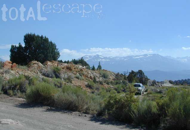
just off US Highway 395
Also known on some maps as Travertine ACEC.
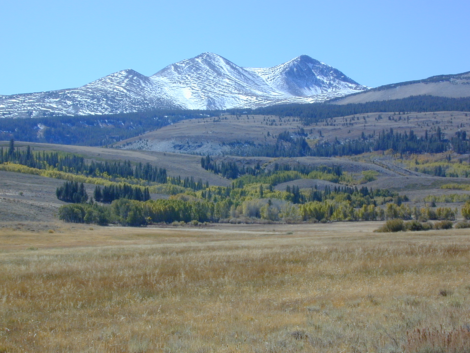
Take the road next to the Ranger Station (South of Bridgeport, along Hwy 395); Drive up the hill and past the rock quarry. Bear right & look for dirt parking lot. Two pools, short walk, no shade, wonderful views of the Sierra Nevada mountains.
Popular with local commuters and travelers, with easy access off the highway. Great spot for views westward w/ sunset picnic and soak.
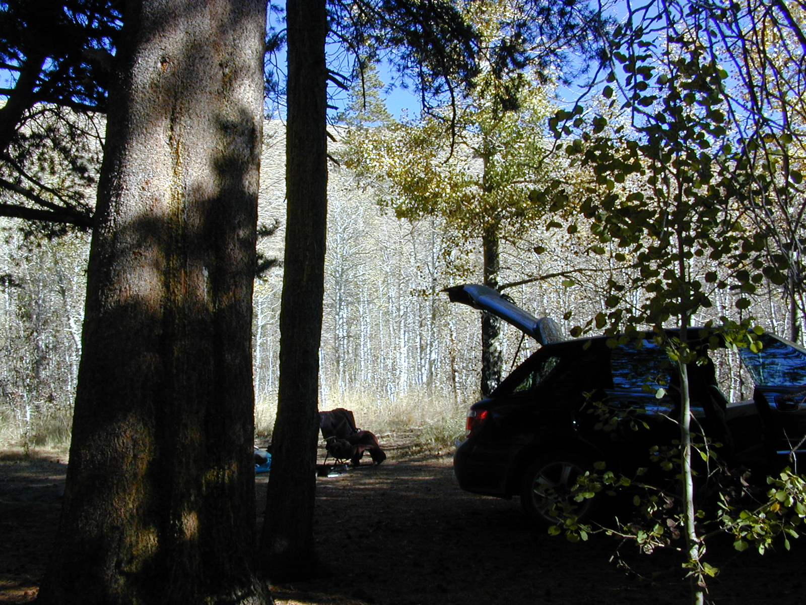
![]() No overnight camping allowed at Travertine hot springs (posted signs)
No overnight camping allowed at Travertine hot springs (posted signs)
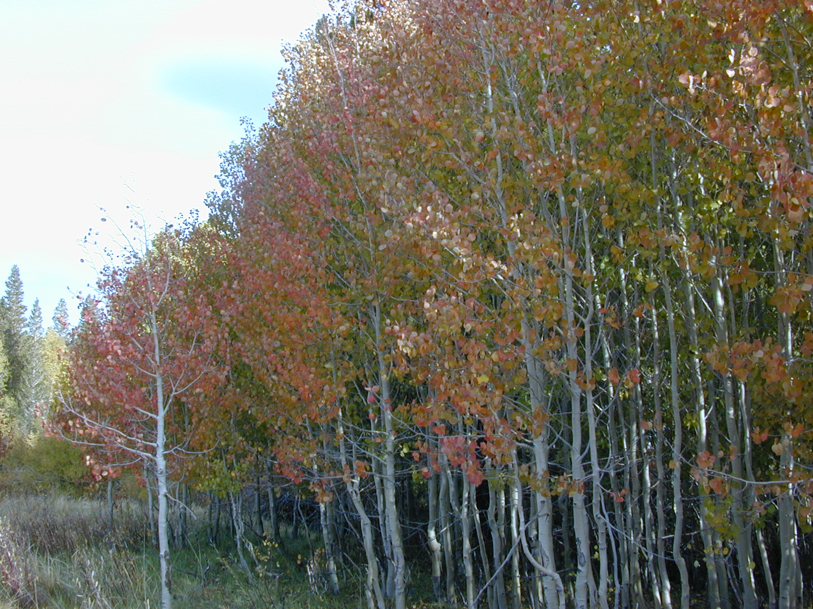
Plenty of great, free, camping nearby:
Primitive or developed Campgrounds.
- Green Creek – RV & Tent Camping, Hiking, Fishing & Backpacking Trails
- Twin Lakes CA – fishing resort w/ Sierra High Country access
- Bridgeport Reservoir, Bridgeport CA – just down the road a piece
- Inyo National Forest (south of Mono Lake)
- Toiyabe National Forest
- Explore side dirt roads on the east or west side of Hwy. 395; Plenty forest land w/ free camping all up & down the Eastern Sierra corridor. (Just make sure you obey private property signs).
parks, lakes and forests nearby:
- Bodie State Park
- Bridgeport Reservoir
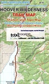
- Hoover Wilderness
- Inyo National Forest
- Lundy Lake
- Mono Lake
- Toiyabe National Forest
- Twin Lakes
- Virginia Lakes
- Yosemite National Park
nearby towns:
- Bodie (ghost town)
- Bridgeport
- Lee Vining
- Twin Lakes


 Pacific Crest Trail passes partially through Hoover Wilderness inside Yosemite National Park.