Tag Archives: topo maps

Fishing Maps California

owensfishing

California Fishing Maps & Destinations

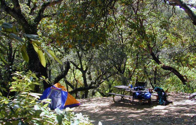
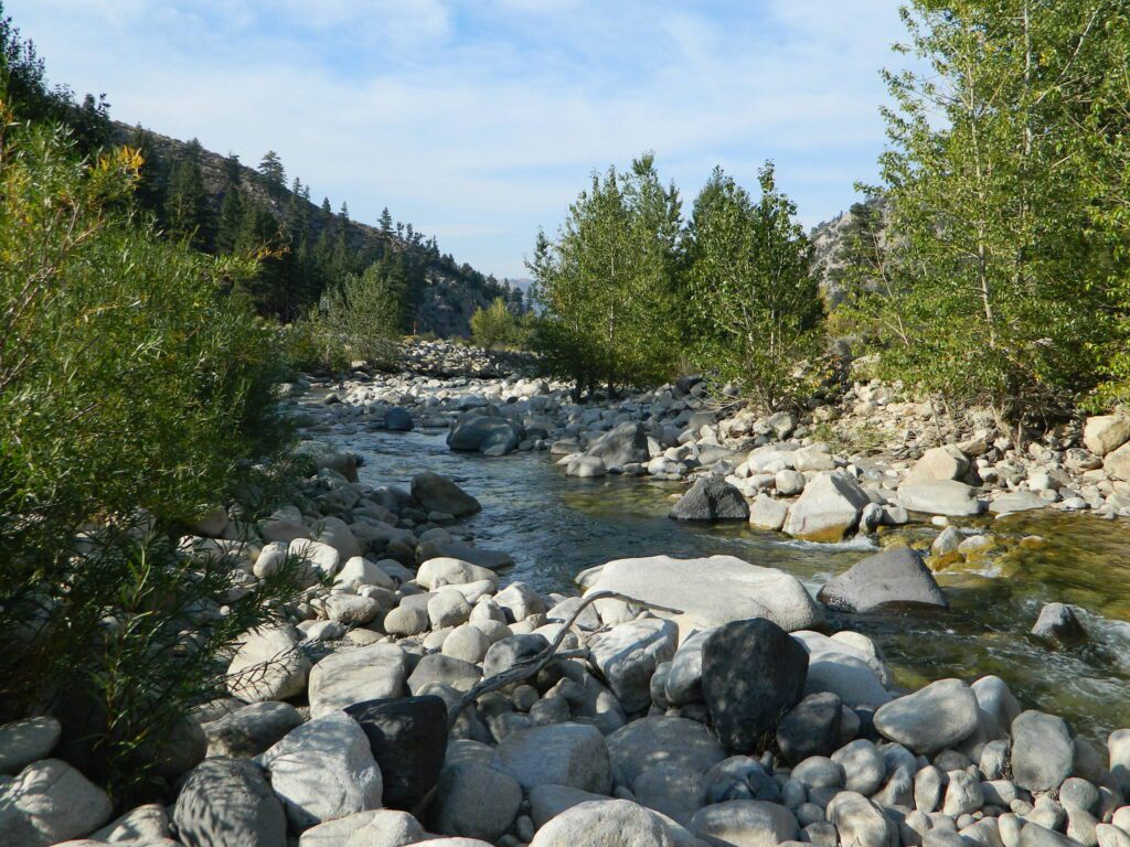
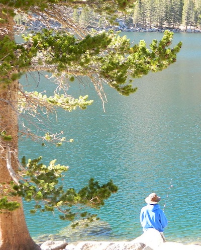
California fishing recreation ranges from sport-fishing, an open sea adventure, to solo casting in deep river canyons. Big Sierra Reservoirs near Gold Rush Country to High Country Alpine Lakes, the golden state has the water – and the outdoor recreation you crave.

Below is an alphabetical list of popular fishing destinations within California. Mountains to coastline, there are many maps to choose from.

American River, California

gonzagadusk

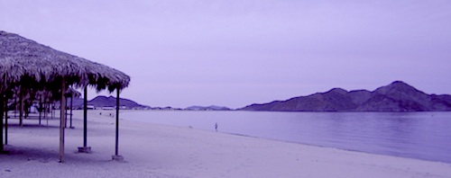
Baja California Maps
Surf, Camp, Fish, Kayak, Dive
Sea of Cortez, Baja CA Mexico

Big Bear Trail Map
San Berdoo Mountains Map
San Bernardino National Forest Map USDA
San Bernardino National Forest
Big Bear Lake, Arrowhead & Idyllwild
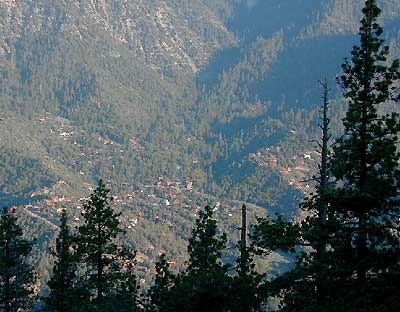
SoCal Mountains

Lake Berryessa California
Wine Country Reservoir

Bishop Creek Eastern Sierra

Bishop Pass Trail Map
North Lake, Sabrina, South Lake
Bishop Creek, Eastern Sierra

Bucks Lake Wilderness Map
Bucks Lake Wilderness, Quincy CA
Bucks Lake Campgrounds
North Sierra Mountains

California Delta Maps

Carson Pass, Sierra Highway 88
Carson Iceberg Wilderness Map
Central Sierra Nevada Lakes & Rivers

Casitas Lake, Ventura County

Clear Lake, Wine Country California

Crystal Basin Sierra Nevada

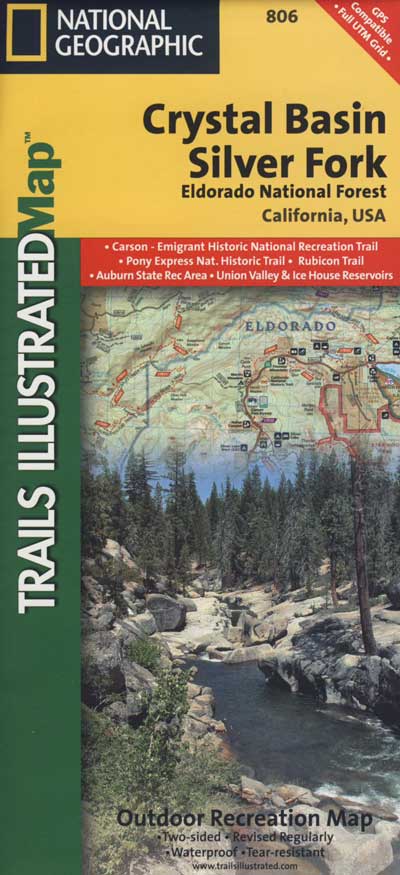
Crystal Basin / Silver Fork Map
Central Sierra Nevada Mountains
Eldorado National Forest

El Dorado National Forest Map
Mokelumne, American River

Dinkey Lakes Wilderness Map
Tom Harrison Map
Sierra Hikes, Dinkey Creek

Golden Trout Wilderness Map
Upper Kern River, Southern Sierra

Green Creek Road
creek fishing, trailhead campgrounds
Bridgeport, CA Eastern Sierra

Hat Creek California 
Headwaters to the Pit River

Lake Havasu, California 

Hoover Wilderness Map
Hoover Wilderness
Bridgeport, CA Eastern Sierra

Hot Creek @ Mammoth Lakes, Eastern Sierra

Inyo National Forest Map
Mount Whitney, Owens River, High Sierra Lakes
Bishop, Crowley, Mammoth & June
Eastern Sierra Nevada Mountains

Kearsarge Pass Topo

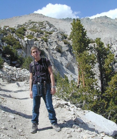
Kearsarge Pass Trail Map
Rae Lakes Loop, High Sierra
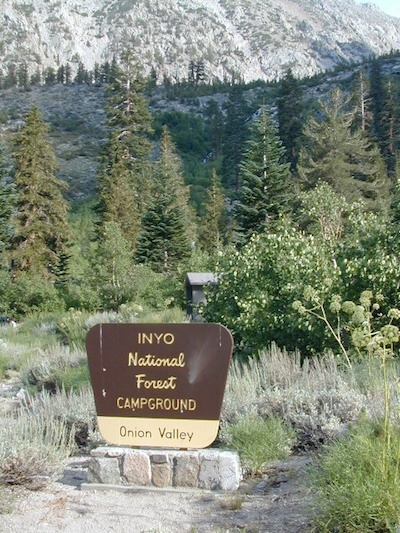
Onion Valley, Eastern Sierra

Kings Canyon High Country Map
Kings Cyn National Park
Trails, Peaks, hike-in only Lakes

Klamath National Forest Map
Klamath River, NorCal
Hwy 96, Happy Camp, Hupa/Hoopa

Lakes Basin Recreation Area
Lakes Basin Map USDA
over a dozen small lakes, w/ trails, fishing
Gold Lake California
Sierra Buttes, North of Gold Country

Lake Isabella, Kern River

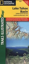
Lake Tahoe, Sierra Nevada Mountains

Lake Tahoe Map

Lake Tahoe Basin Map NatGeo

Tahoe Eastshore

Lassen Forest Map
Lassen National Forest &
Lassen National Park
Feather River, Lassen Lakes

Mammoth Map

Mammoth Lakes Map NatGeo
Mammoth Lakes CA
Mono Divide, High Sierra
June Lake, Eastern Sierra Recreation

Rush Creek

Lake Mead, Nevada

NatGeo Lake Mead Map

Lake Mohave, Nevada

Merced River Recreation Map NatGeo
Merced River & Tuolumne River
Yosemite Camping & Fishing
Gold Country, Western Sierra Rivers

Millerton Reservoir, West Sierra
Fresno, CA

Mineral King Trail Map
Southern Sequoia National Park
day hike to wilderness lakes

Owens River, Eastern Sierra

Plumas National Forest Map
Lake Almanor, Lake Oroville
Feather River (all 4 forks)

Piru Lake, California

Pit River Fishing Map 

Sacramento River, North State

Sequoia National Forest Map
Kern River, Lake Isabella
Kern Plateau, Kennedy Mdws

Shasta National Forest Map
Sacramento River, Lake Shasta
NorCal fishing, Mount Shasta

Sierra National Forest Map
San Joaquin River, Dinkey Creek
Dinkey Lakes Map
Kings River, Pine Flat Reservoir
Lake Edison, Florence
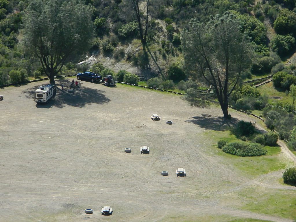
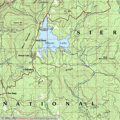
Shaver Lake Map, Huntington Lake
BlackRock, Courtright, Wishon

Stanislaus National Forest Map
Stanislaus National Forest
Sonora Pass, Dardalelle
Stanislaus River, Gold Country

sierra buttes

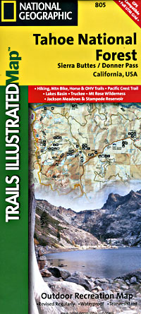
Tahoe National Forest:

Tahoe Sierra Buttes Map NatGeo
Sierra Buttes / Donner Pass
Lakes Basin Recreation Area

Tahoe Yuba Map NatGeo
American River, Yuba River
Gold Country California

Toiyabe National Forest:
Eastern Sierra Nevada Mts

Toiyabe Carson Map
Carson River, Markleeville
Eastern Sierra, South of Tahoe

Toiyabe Bridgeport Map
Walker River, Twin Lakes
Eastern Sierra, Yosemite East

walker river California
Walker River California

Walker River Fly Fishing Map

lakes

let’s not forget the ever expanding…

California Lake List

rocklakefishing

Onion Valley Campground

whiteVWcamper

Spectacular Small Campground located inside a granite bowl above 9000′ elevation, on the edge of the granite, near the John Muir Wilderness trails.camp

Inyo National Forest near Independence, CA
Eastern Sierra California

One of the best high elevation trailhead camp for backpackers in the Sierra.

High Sierra Lake Hikes

Onion Valley Campground

Onion Valley CA

  • Elevation: 9,200′
  • Number of Sites: 29
  • Vehicle Accessibility: no RVs
  • Camp Fee: Yes
  • Campsites Reservation: Yes
  • Toilet: Vault
  • Water: Piped
  • Length of Stay: 14 Days
  • Season: June – Sept
  • Trailhead Parking

Inyo National Forest hiker
Mount Whitney Ranger District
760-876-6200

Trailhead parking & camping for these High Sierra destinations –

onionsign

wild mountain onions?

High elevation NFS campground, located in a huge granite valley w/ waterfalls, wildflowers and aspen groves. The setting is breathtaking and the high altitude valley is nothing less than grand.

The views (east to the Owens valley) are from the paved road up, or from the hiking trails leading up outta camp. Gotta hike up (on foot) to see the views! Any visitor that does not hike, will be missing out on the best features of this destination. Plan to spend more than one day at Onion Valley.

ONLY OPEN for summer months! This small, developed campground closes annually.  Big winters and deep snow is the norm w/ elevation this high.

 walk-in camp sites

tent campas well as car camping sites.

  • picnic tables
  • fire rings
  • vault toilets
  • piped water
  • bear boxes

ONION VALLEY ROAD
access via Independence, CA

The paved road is long and very winding; sheer cliffs, steep drop offs, hairpin curves, minimal guard rails. RV motorhomes are not allowed on this route, due to the steepness of the terrain and the narrow roadway. conradkid2001

  • backpacking
  • camp
  • hiking
  • horse pack trips
  • lake fishing
  • mountaineering
  • rock climbing


horsepacks hiking Mountains

Rae Lakes Loop Map
Topo Hiking Map

HIKING LAKES in the Sierra

goldentroutlakecanyon
Golden Trout Lake Canyon

Gilbert Lake @ Kearsarge

see Onion Valley photos from –
Onion Valley Autumn 2008
Onion Valley Summer 2002

Campgrounds in Mendocino

Mendocino Campgrounds

Camping in Northern California / Camp Mendo

foutspicnic

2018 & 2019
Hit especially hard by wildfires recently. Certain campgrounds and roads are closed to the public, due to the significant fire damage.

Mendocino National Forest has an abundance of small campgrounds and 4×4 camps, many of which, due to snow & elevation, can only be accessed in summer months. Many developed campgrounds are located on dirt roads, so know the road conditions before you get out there.

NOTE: all camps 2000′ elevation or lower are OPEN ALL YEAR LONG
Red text for OHV = off road use, dirt bikes, quads, 4x4s, trailers.

campground elev spots veg toilet water notes
Atchison Campground 4300′ 6 mixed yes creek road# 22N11
dispersed
Bear Creek Campground 2000′ 16 yes creek CLOSED
Cedar Camp Campground 4300′ 5 pines yes no No trailers, June-Oct
Davis Flat Campground 1700′ 28 vault no Fouts Springs OHV
Deer Valley Campground 3700′ 13 yes no Upper Lake
OHV
Dixie Glade Campground 3700′ 8 mixed yes no CLOSED
Eel River Campground 1500′ 16 oaks vault piped bike trails
Fouts Campground 1700′ 11 mixed vault piped Fouts Springs OHV
Georges Valley Campground 5000′ 3 no no Yolla Bolly Wilderness
Green Springs Campground 6000′ 4 pines yes spring Yolla Bolly Wilderness
Hammerhorn Lake Campground 3500′ 9 pines vault piped 1 handicap spot
Howard Lake Campground 3500′ 12 vault lake high clearance vehicle
Kingsley Glade Campground 4500′ 4 vault piped June-Oct
Letts Lake Campground 4500′ 44 no CLOSED
Little Doe Campground 3600′ 13 pines vault no June-Oct
Little Stony Campground 1500′ 8 pines vault no OHV trails
Lower Nye Campground 3300′ 6 mixed vault no May-Sept
Middle Creek Campground 2000′ 12 yes no Upper Lake
OHV
Mill Creek Campground 1700′ 5 yes no Fouts Springs OHV
Mill Valley Campground 4200′ 16 vault piped OHV trails
Navy Camp Campground 1800′ 20 vault piped PG&E Camp @
Lake Pillsbury
North Fork Campground 1700′ 10 oaks yes creek Snow Mountain
Oak Flat Campground 1700′ 12 pines yes no Lake Pillsbury
Old Mill Campground 3700′ 10 pines yes no narrow road
Plaskett Meadows Campground 6000′ 35 pines yes piped Plaskett Ridge
Penny Pines Campground 3600′ 5 pines yes piped Upper Lake OHV
Pogie Point Campground 1900′ 50 oaks yes piped Lake Pillsbury
Soldier Ridge Campground 6000′ 3 no no Yolla Bolly Wilderness
South Fork Campground 1700′ 4 vault creek Stony Creek, OHV
Sugar Spring Campground 5400′ 3 vault no Burnt Creek / Eel River
Sugarfoot Glade Campground 4200′ 4 mixed vault creek May-Nov
Sunset Campground 1800′ 54 mixed vault creek May-Nov
Surveyor Camp 3900′ 2 yes no OHV, Rd# 7
Sycamore Grove Camp 300′ 30 mixed yes no Red Bluff,
open all yr
Three Prong Campground 4800′ 6 pine vault piped June-Oct
Wells Cabin Campground 6300′ 15 pines vault piped July-Oct
Whitlock Campground 4300′ 4 mixed vault piped June-Oct

OFF-ROADERS NOTE: 3 OHV camps are located in higher elevations; the rest are 2000′ or lower and open year round. Always check with National Forest for road closures and conditions.

Mill Creek Camp @ Mendo
Mill Creek Camp @ Fouts Springs

Mendocino Ranger Stations can be found on link below

NFSMendocino National Forest


MENDO GROUP CAMPGROUNDS
(reservations required)

GRAY PINE GROUP CAMP @ Stonyford

MASTERSON GROUP CAMP @  Plaskett Lakegroup campground

multiuse_sign

cement_table

group camps Mendocino

Mendocino & North Coast Maps

California Elevations

conradkid
High Sierra hiking @ 12,000 feet above sea level

elevation

high altitude towns    well above sea level

The majority of California cities are located near sea level, with low lying farmlands and populated coastlines common throughout world geography. California has super diversity w/ the population, as well as the elevation and the terrain. Vast rugged deserts bordering Nevada, from high deserts (8000′ @ Bodie ghost town) to low deserts (below sea level for Mecca) near the Salton Sea. Towering granite peaks with minimal vegetation, to fern canyons and redwood groves at the coast, California has quite the unique landscape.

The beautiful golden state is also home to the highest and lowest point within the lower 48 states; and those points are only about 100 miles apart – Death Valley  (-282′ elev) and  Mount Whitney  (14,494′ elev).

I-80 Donner PassMTN TOWN: upper elevation mountain towns w/ forests and flowing water, are primarily located in the Sierra Nevada range which runs the backbone of California in a north-south direction,  separating the Pacific Ocean from the Great Basin. High altitudes are abundant in California, especially in the Eastern Sierra – but most are only accessible by foot.

Mountain communities in Southern California includes places like Mount Laguna, Palomar, Big Bear, Arrowhead, Idyllwild and Mount Pinos.

The coastal mountain range and the Sierra Nevada  encompasses most of Central California. The rest of the space is dedicated to large cities, farmlands and farming towns – which are most lower elevation. Orchards and vineyards can be found in the foothills (200′-2000′ elevation)

Northern California has more mountains and rivers, generally higher elevations and plenty more space to explore. Secluded forests, rivers, creeks, lakes, and reservoirs can be found above 2000′ elevation, north of Sacramento. The bigger mountains in the far north part of the state are part of the Cacade Range, which is volcanic in nature. (Mt. Lassen & Mt. Shasta). More water, more trees and more land – NorCal is very different than the lower half of the golden state.

hwy33overlook
North of Ojai, CA – Highway 33 winds up to Los Padres NF

California Elevation Breakdown

  • Alpine lakes, streams, forests, mountain peaks, granite scenery is abundant above 6000′ elev.
  • Pine forests, junipers, sage chaparral, manzanita, joshua trees can be found between 3000-6000′
  • Hot Springs, creek canyons and cottonwoods are usually discovered above 2000′ elev.
  • Oak hills, ghost pines, creek beds, river canyons  and most agriculture range from 1000-3000′
  • Under 1000′ elevation is the majority of the populated cities and towns within California; coastline, urban areas, foothills, farmland and a few reservoirs
Mecca Hills
Mecca Hills, below sea level

GoogleMaps – groundbreaking tool for trip planning and checking out trailheads, camps and dirt roads from overhead

USGS Viewer – topographic overlays for altitude estimates, and various imagery

California Elevations Map

shaverMS

snowflakeSnow is always a factor in mid to high altitude towns with road conditions being unpredictable with each mountain range and each micro-climate. Winter months range from late October to May, so be warned. Above 3000′ elevation usually gets some snow. Serious snow above 5000′. Some High Sierra Passesdon’t open until JULY (Yosemite Hwy 120 & Sonora Hwy 108). Carry tire chains or have 4×4 to travel safely on snowy roads. Guard rails are seldom around every curve.

list of California towns
by elevation


Rainbow Lodge California

bishopbelow
Above Owens Valley (US 395) at sunset, as seen from the Sierra side (8000′ elev)

Northern California Redwoods

Northern California Coast Hotels & Camps

redwoods parks
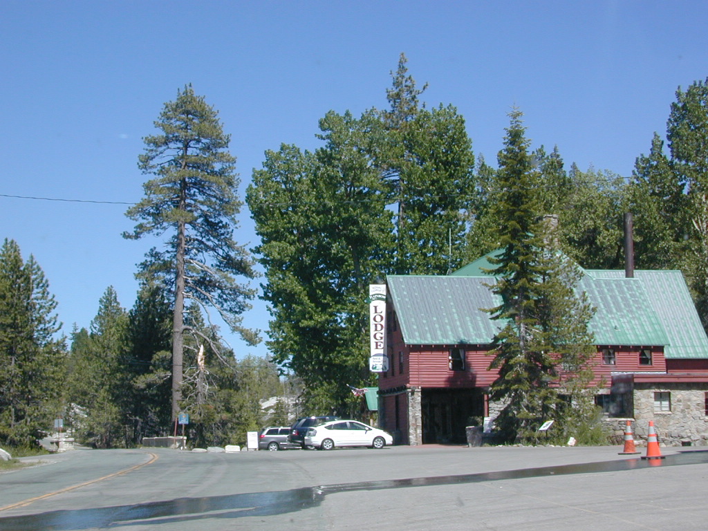
The north coast of California is dubbed the Redwood Empire, and driving north on US Hwy 101 passing the well-known wine country and communities near Clear Lake, means you’ve entered the official redwood region of Cali.

With over 150 mile stretch between Ukiah & Crescent City, on the Oregon border, coastal redwoods thrive in this wet climate. All along US Highway 101 you can find every assortment of lodging, from standard hotels walking distance to village shops, to small secluded cottages tucked behind a winery. Sonoma & Mendocino vineyards merge on ridge lines, at the edge of oak countryside, with redwood forests & recreational rivers to the north.

BALD HILLS ROAD: Old logging roads lead way up in elevation, behind Redwood National Park, where you can find free camping spots and firewood piles all over the clearings. A real 4×4 vehicle will be needed in wet or snowy weather conditions. AWD wagons should be cautious of deep mud and know the weather conditions ahead of time. The main gravel/dirt route traverses the Bald Hills range at 3000′ elevation and ‘epic view’ campsites are abundant. Pine Creek Road drops east into Klamath River Canyon down to Klamath Hwy 96.

Bald Hills Rd

USAL BEACH: In the olden days, USA Lumber Company had a prime place on the Lost Coast. Now it is a wonderful destination w/ remote beach campground hidden in the trees, next to the redwoods and creek, and the cliffs – and a big sandy beach w/ giant driftwood!

Towns w/ Redwood Lodging in NorCal – 

Redwood Parks in NorCal –

(from south to north, with closest town)

REDWOOD MAP


Redwood Map Topo

Topographic hiking and camping maps of the NorCal Redwood region –

Los Padres Camping

Los Padres Campgrounds
Big Sur, Mount Pinos, Ojai, Santa Barbara, Santa Lucia

Forests

Los Padres National Forest campgrounds span the length of the California Central Coast, from the Monterey Bay to Los Angeles County. Choose a desired area:

Big Sur Campgrounds

Frazier Park Camping

Mount Pinos Campgrounds

Ojai Camping

Santa Barbara Camping

Santa Lucia Camping

Bottcher Gap Campground
Lush coastal campground is Bottchers Gap near Big Sur, CA

Los Padres National Forest

see also Los Padres Group Campgrounds

maps of the Los Padres regions –

Los Padres nearby towns & cities –

Pine Mountain Club from ridge