

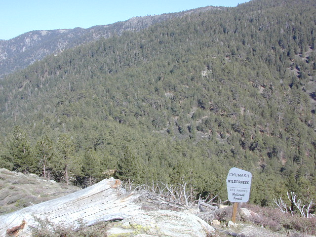
Chumash Wilderness
Los Padres National Forest
38,150 acres
Mount Pinos – 8831′ elevation
Cerro Noroeste – 8286′ elevation
Los Padres National Forest
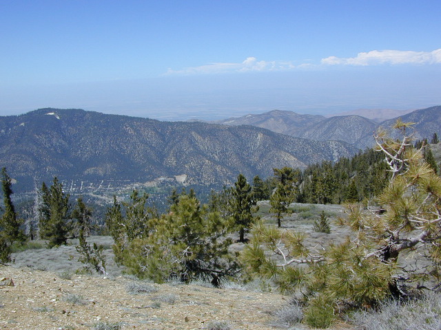
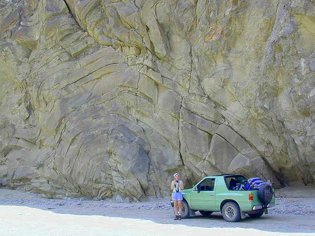
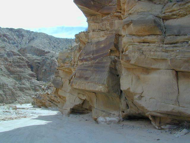
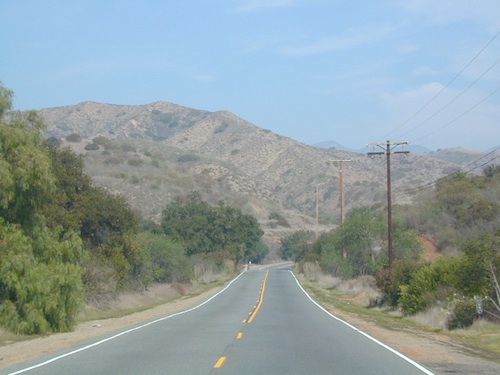
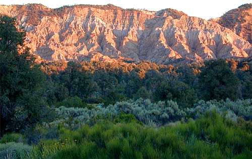
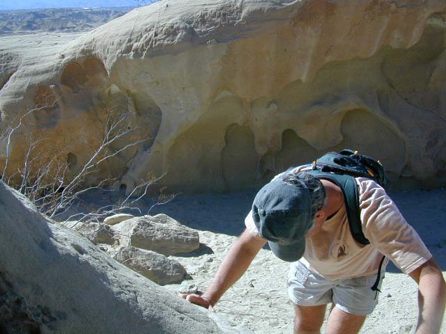
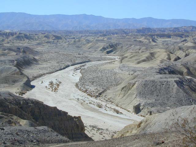
Terrain consists of high mountain peaks, badlands of Quatal Canyon Wash & Lockwood Valley; Steep slopes of forests, rock outcroppings, sparse forest areas, on border of Kern County & Ventura County. This area is sacred to the native California Chumash tribe.
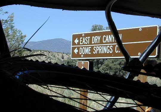
 Mount Pinos, Mount Abel, Cerro Noroeste, Westside Park, Hudson Ranch Road, Mil Potrero Highway, Lockwood Valley Road, East Dry Canyon, Apache Canyon, Cuyama River
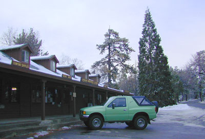
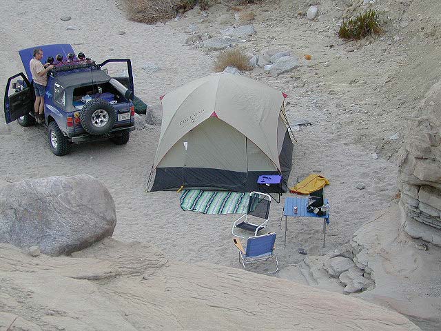
campgrounds nearby –
- Camp O Alto (@ Mount Abel)
- Chula Vista Walk-in Campground
- Dome Springs Campground
- McGill Campground
- Mount Pinos Campground
- Nettle Springs Campground
- Toad Spring Campground
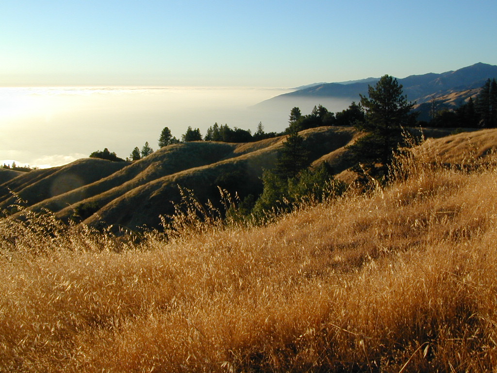
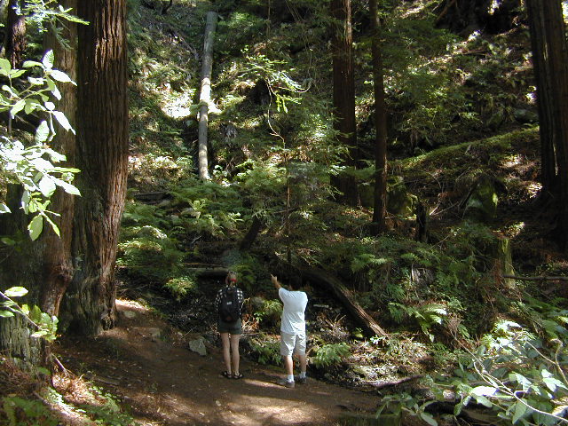
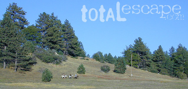
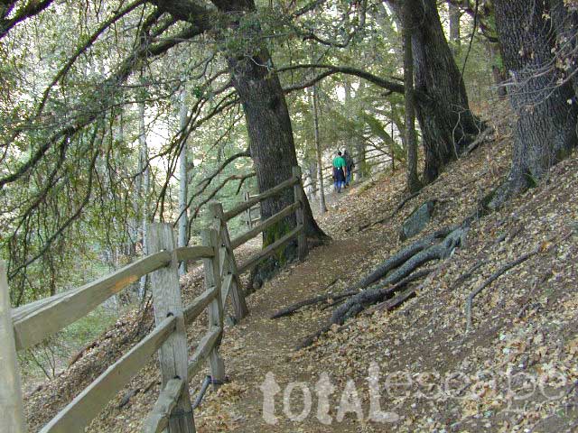
The Peak to Peak Hike is a 7 mile, high elevation, ridge line day hike that traversed 2 of the tallest peaks in Kern County – Mt Pinos (elevation 8831′) and Mt Abel (8286′). Day hikes, equestrian trails, backpacking, mountain biking areas nearby. Steep, granite, chaparral, lightly forested w/ ponderosa and Jeffrey pines. From this ridge trail you have a 360 degree view over the entire region. The cabin community of Pine Mountain Club is to the north side (and IF the skies are really clear, you can see the Sierra Nevada mountain range too); Lockwood Valley & Ozena Valley are located to the south; Cuyama Valley to the west and the Tejon Pass w/ Frazier Park to the east.
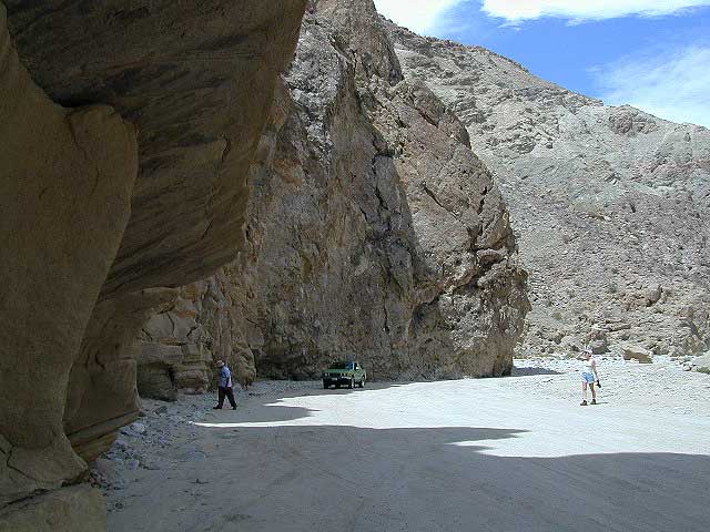
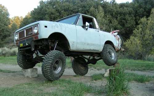
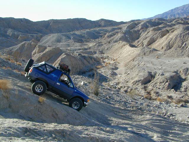
Off road use 4×4, dirt bikes, ATVs, and quads are common in Quatal Canyon, Apache Canyon, East Dry Canyon leading up to the wilderness edge. Rangers will ticket if they find you on the Chumash side of Quatal wash. The secluded yet inviting, wide, white sandy washes are just too tempting for some bad boys.
Chumash trailheads are located –
- about a mile before Camp-O-Alto Campground (Mount Abel)
- along lower end of Quatal Canyon Wash (OHV areas parallel)
nearby towns –
- FRAZIER PARK
- OJAI
- MARICOPA
- NEW CUYAMA
- PINE MOUNTAIN
- VENTUCOPA
View Chumash Wilderness Area in a larger map


