Sequoia Foothills Reservoir, CA SR 198
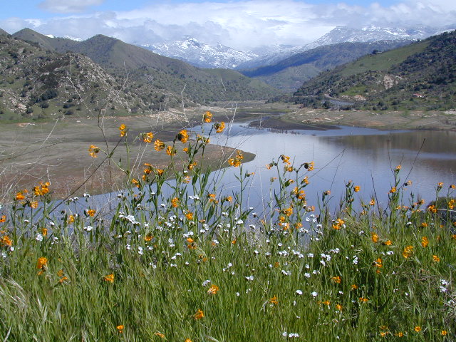
Kaweah Lake
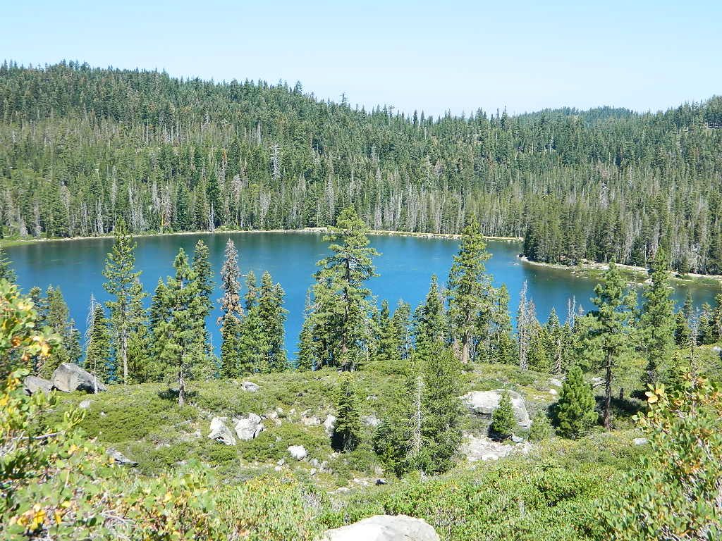
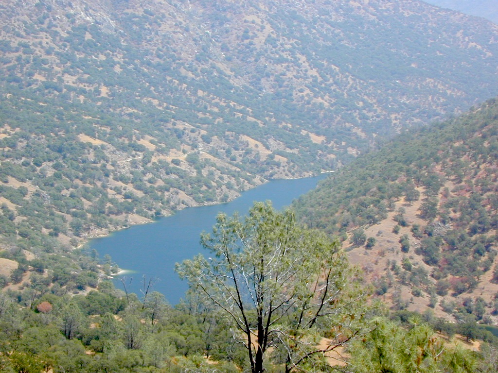
Southern Sierra lake located on Kaweah River, near the mouth of Mineral King Canyon. In between the western Sierra foothills and the agricultural San Joaquin Valley. West of Sequoia NP, east of Visalia, California.
Crystal Cave
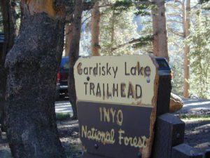
Mineral King
Sequoia National Park
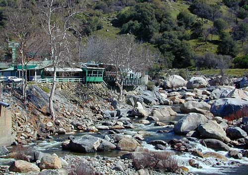
Three Rivers
Visalia
The small town of Three Rivers is just up the road from this small reservoir & their slogan is the ‘southern gateway’ to the Sequoia National Park.
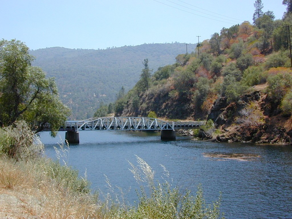
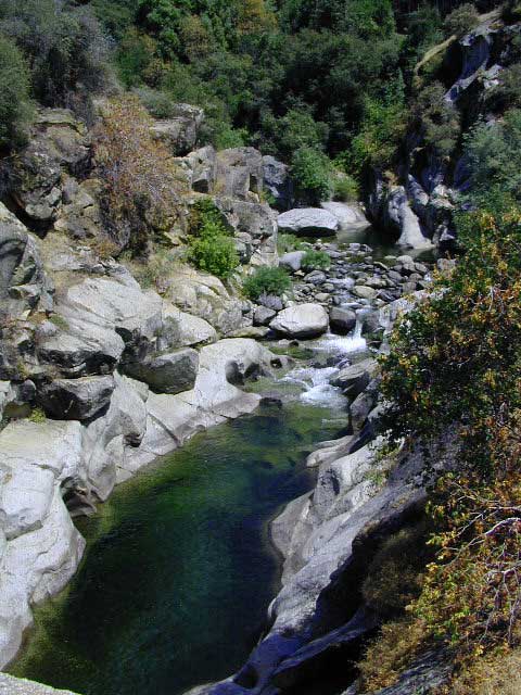
There are several recreational reservoirs that are situated at the base of the Sierras, along the western slopes. The Kaweah River transports snowmelt deep from the Sierra Nevada mountains, down to the San Joaquin Valley (Central Valley), for human consumption, households, and agriculture.
Lake Kaweah California
elevation: 1945′
surface area: 1200′
vegetation: minimal trees, scrub oak, wildflower foothills
fishing –
- bass
- bluegill
- catfish
- crappie
- trout
recreation –
- backpack
- bike
- boat
- camp
- canoe
- hike
- houseboat
- kayak
- sail
- swim
- waterski
Horse Creek Recreation Area
Horse Creek Campground
76 camp sites
Kaweah Rentals
Kaweah Marina has patio boats, fishing boats, and paddle boards available for rent. Reservations are needed in summer for weekends and holidays. 559-597-2526
Kaweah Houseboats
Privately owned house-boats can be seen on this lake, although none are available at the marina for rent. Some can usually be found for sale on visalia.craigslist.org
Weather: Lake Kaweah Dam
US Army Corps of Engineers
PO Box 44270
34443 Sierra Drive
Lemon Cove, CA 93244
559-597-2301
Sequoia Highway 198 has many side routes worth exploring: Mineral King Road will get you to amazing scenery, but there ARE NOT ANY Sequoia groves up that way; Crystal Cave, open for tours is located near the south entrance of the National Park; and a lesser known campground in this area is called South Fork, off on a residential side route canyon – South Fork Drive (Road #348); Located on the quiet South Fork of the Kaweah River.
Sequoia Maps:
- Mineral King Map
- Golden Trout South Sierra Map
- Golden Trout Trail Map
- Kings Canyon High Country
- Sequoia Kings Canyon NatGeo
- Sequoia Kings Canyon NP Map
- Sequoia National Forest Map
- Sequoia Atlas
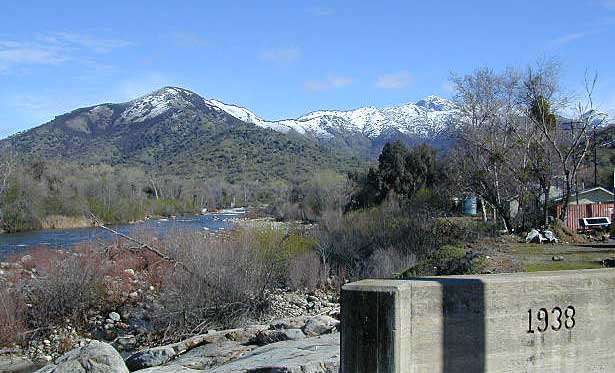
Three Rivers is small town, located along the Kaweah River, near south entrance to Sequoia National Park
North Fork Drive: North Fork of the Kaweah River is a seldom traveled dirt back road that leads from the east side of the lake @ Hwy 198, northbound (along the North Fork of Kaweah River), straight into the backdoor of Sequoia National Park’s ridge line highway @ Dorst Campground. The original town of Kaweah (elev 960′) is along this route. Many small dirt roads to explore up this way and a good topo map is advised.
Eshom Campground (on western border of Sequoia NP), a small slice of Giant Sequoia National Monument land, Redwood Creek and a trailhead called Redwood Saddle are all back up in here.
- Have a few good maps to cross-reference while traveling back roads and trails.
- This major dirt route is often closed and gated by the rangers during wet, winter months.
- nearby destinations:
Lemon Cove, CA
Mineral King, CA
Sequoia National Park
Three Rivers, CA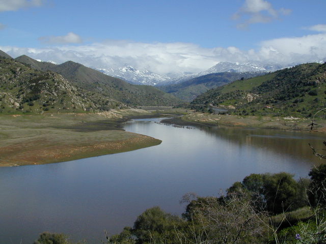


 CAMPGROUND RESERVATIONS