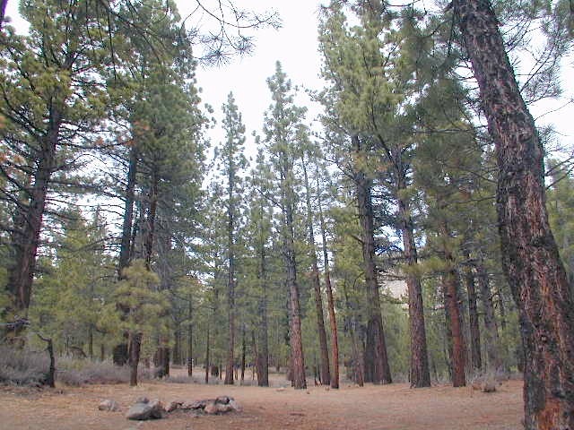
San Bernardino National Forest: Heart Bar Campground
At Hwy 38 & Forest Road #1N02 is a huge, pine forested valley, right next to San Gorgonio Wilderness. Heartbar Campground, Heart Bar Horse Camps, RV Dispersed Sites. Highway 38 – SE of Big Bear Lake, California; Mountain Bike, Hiking & Equestrian Trails with ridges of 10,000′ elevation. SAN GORGONIO peak nearby. Best high elevation scenery for SoCal by far.
backpacking
camping
fishing
hiking
mountain biking
mountain peaks
waterfalls
Primitive Camps on the Back Road #1N02
Heart Bar Campground
Big Bear Forest – HEART BAR
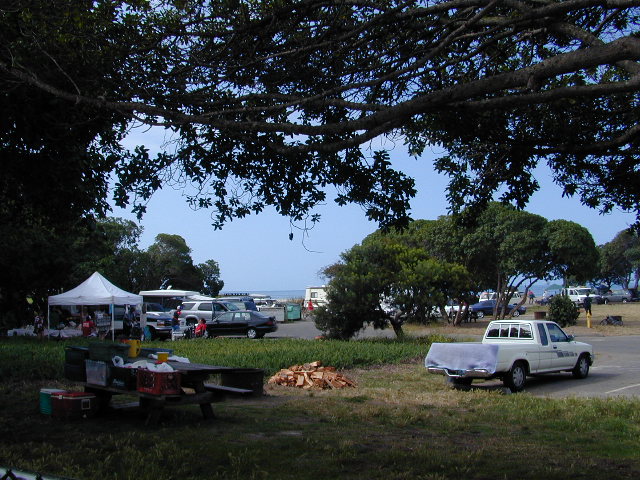
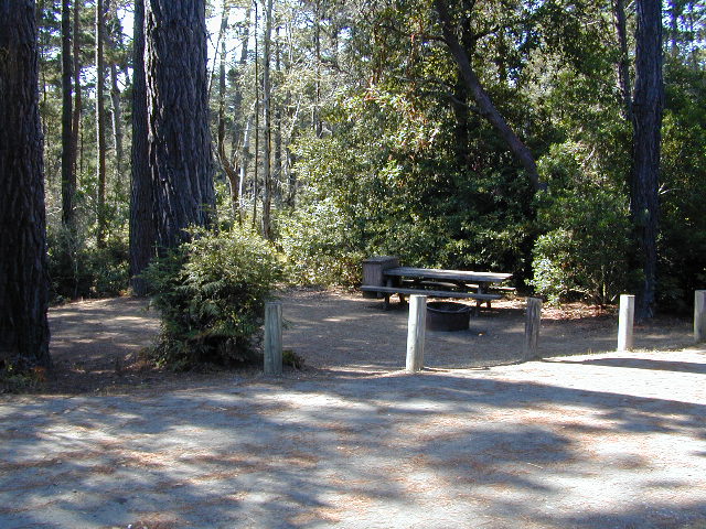
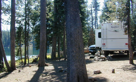
This gorgeous valley is a developed recreation area w/ 89 camp sites, plus big equestrian area. Picnic, hiking, mountain biking, horseback trails, plenty RV spots, even a creek. (Oooops I meant the Santa Ana River) Highway 38 is kinda the long way into Big Bear Lake, up thru Angelus Oaks. Locals call this stretch of the highway Barton Flats.
Bring the Horses & RVs
Group Campground facilities
Barton Flats – San Gorgonio Recreation Area
Leading out the back way of HeartBar, past the horse camp – is a nice one lane dirt road, narrow in spots, with random, primitive camp sites along the roadway. Authorities refer to these spots as yellow post camp sites.
This backcountry route is marked as Forest Service Rd #1N02 – graded dirt road that leads back to Coon Creek Cabin.
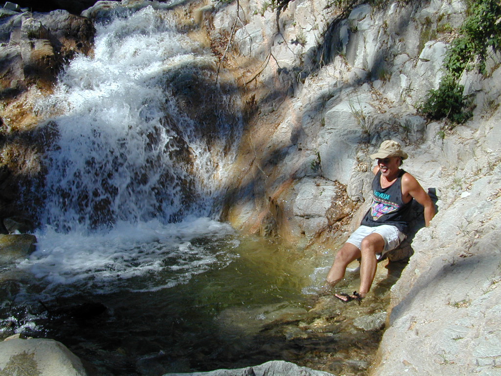
Forest Falls is well worth a stop for a quick picnic or hike – and head dunk. Weekends can be busy and crowded. Since this location is close to Southern California and the population centers, expect weekends to be busy in the Big Bear mountains. Plan a trip for week days to experience less people, and more nature.
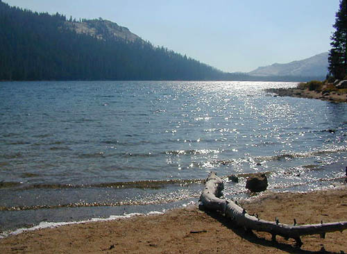
Rock Creek is a top destination for Autumn Colors in OCTOBER
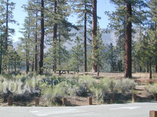
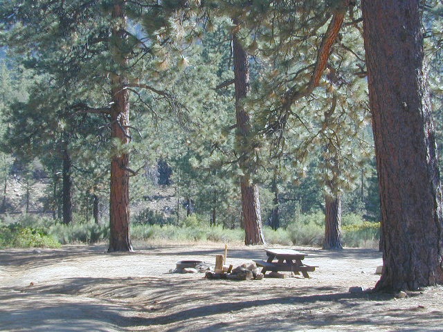
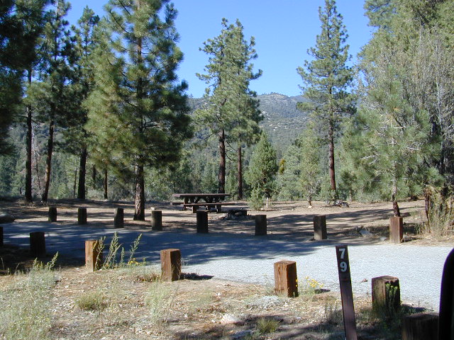
NFS Campgrounds on Rock Creek Road listed below:
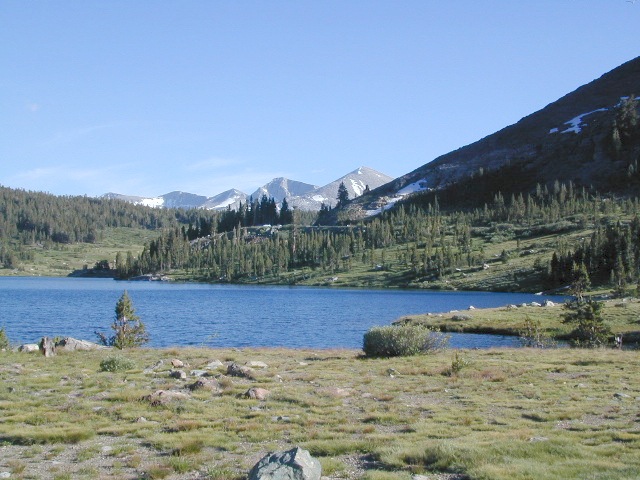
12 NFS Campgrounds are located around Eastern Sierra Rock Creek Canyon. Elevations range from 7000′ at the highway, to over 10,000′ at a trailhead parking lot at the road’s end. Most of these developed campgrounds listed are only open a few months outta the year, due to winter snow closures (NOV-APRIL). On occasion, snow can still be on the roads until MAY.
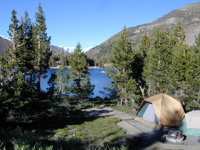
Mosquito Flat Walk-In Campground (trailhead camp) Some maps may have this one listed as Little Lakes Campground, but that is just the official trailhead name.
Backpackers and horseback riders frequent this Eastern Sierra canyon a lot of the year. Many high country trails lead out to Sierra peaks, alpine lakes and sheer wilderness. Download PDF Map of this canyons hiking trails.
Rock Creek Loop Road – Dinkey
Sierra Forest Road #9S09, off of paved Dinkey Creek Road. Excellent primitive camping along creek; 4×4 trailheads, as well as hiking & horseback trails. Small RVs okay. Dispersed camp sites, no facilities. Fire permits are required. Near Shaver Lake, CA inside the Sierra National Forest
Similarly named –
ROCK LAKE is located inside Lakes Basin Recreation Area, northern Gold Country @ Yuba River headwaters. Hike-in access only.
And if you want some Central Coast wheelin – 4×4 camping and trails, see the ROCK FRONT RANCH on California Hwy 166, on the way to New Cuyama, CA
Lower Rock Creek Road, off US hwy 395
We will continue to add any more Rock Creeks to this page (as we find and photograph them). Stay tuned for more of the very best camping in California.
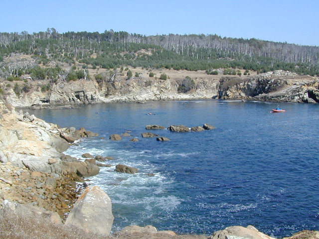
Autumn and Spring are often the best months to enjoy the (somewhat) uncrowded coastline of California. Kids are in school, summer vacation rush is over, and there is plenty of sunshine before those winter storms come rolling in.
reservations are highly recommended
Anything & any place along the coast is “much desired”, worthy of charging for. From seaside restaurants to convenient, paid parking lots – face it – California can be expensive.
Beach camping is no different. Coast camping in California is abundant, but state run campgrounds will run you a pretty penny. Camping fees are well above $20 per night. If you want flush toilets in the bathroom and a level, paved spot for a big RV, it will cost even more. Make sure to reserve a campsite as far ahead as possible. Ask about off-season months to visit.
Privately run campgrounds are often more expensive, but they might be a nicer facility and be in a better location. If you want free camping, then head to the northern part of the state – and take a dirt road to reach your seclusion. Both the Big Sur and Lost Coast both have excellent dispersed camping on backroads, at no charge, and a campfire permit is required for such camping.
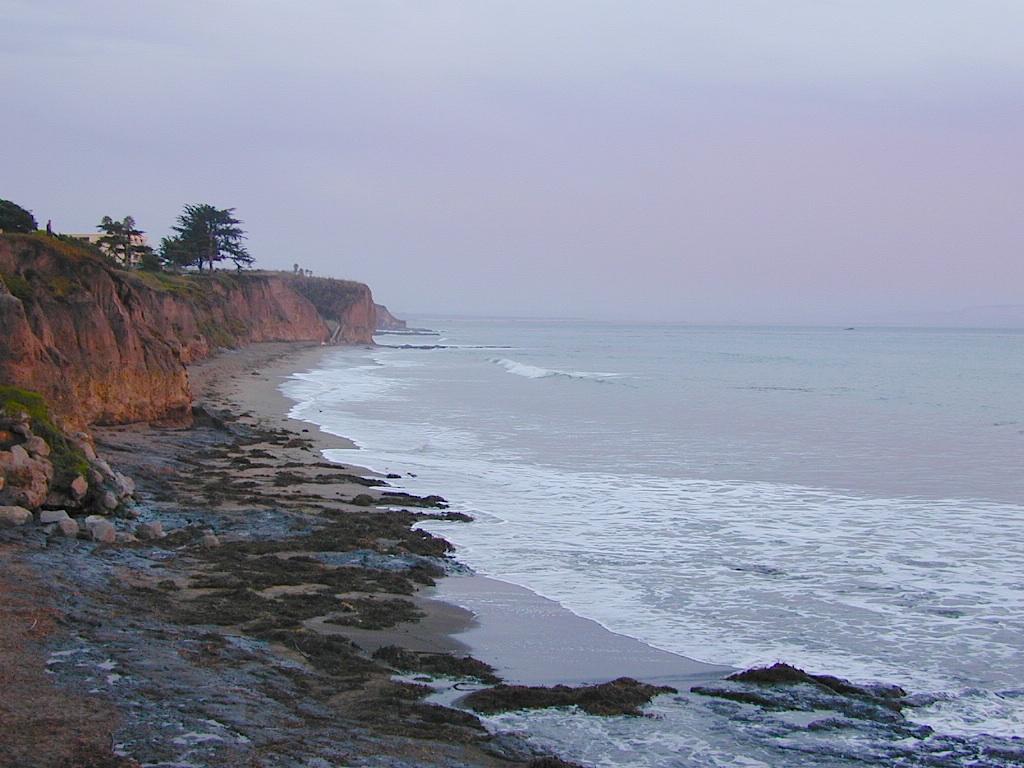
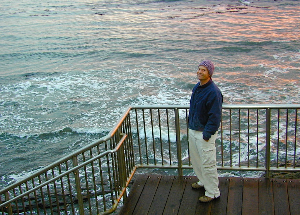
Campgrounds situated on a sandy beach or right on a cliff edge overlooking the ocean. Private cove camp sites, tent cabin rentals, yurt resorts, RV campgrounds; Several coastal canyons (from sycamores to redwoods) usually have creeks and abundant camping options.
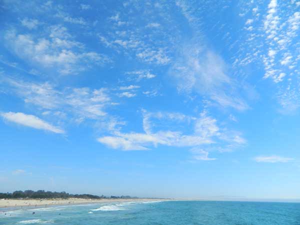
Campgrounds Beach: a popular search phrase for camping near the coast in California. The best months to camp along the coast depends on what part of California you wish to visit – at what time of the year.
With 700 miles of ocean front there is a lot to choose from – RV parks w/ small marina, 4×4 camps, hike-in only sites, and plenty of California State Parks & Beaches.
Much of the coastal camping is NOT “on-the-sand” beach camping. Most of the coastline in California is rugged, some forested and usually full of ‘wildfire prone’ chaparral. Cliffside campgrounds, redwood canyons with creeks, green grassy lawns w/ shade trees and paved camp sites, US 101 busy, freeway campgrounds; all are close enough to the shore to be considered COASTAL camping.
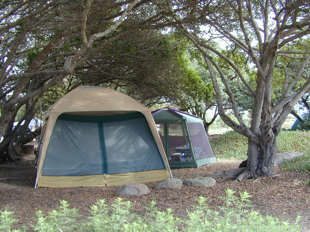
Tents at Capinteria SB
Even in winter, the coast can be quite mild in Southern Cal, so the campgrounds are open all year long. NorCal Coast gets the brunt of WET & COLD winter weather, so those camps are open seasonally, during warmer, drier months (APRIL-OCT).
JUNE GLOOM is a cloud layer that covers the coastline in the early part of summer. Weather is warm to cool with clouds, or the weather can be bright and sunny – if the marine layer ‘burns off’ by mid-day. Consider these local weather patterns, May Gray & June Gloom, when planning a vacation to the beaches of California.
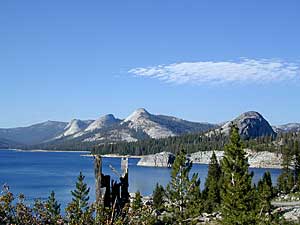
Yosemite National Park, in California’s Sierra Nevada mountains, is the most visited of all the National Parks. Tourists, visitors and campers fill the main valley all year long, with the crowds peeking in mid summer. Autumn is gorgeous, winter is snowy, spring is glorious and summer is grand.
The park has numerous alpine lakes, granite domes, meadows, Sequoia groves and a snow ski resort. Backpacking is popular here, hiking all over, bike rentals w/ miles of paved trails. Plus, the best in big wall climbing. Waterfalls and granite cathedrals tower above the lush, glacier- carved valley. Mighty MERCED RIVER, right through the middle of granite and forests.
Storms of recent have rearranged the landscape inside the valley with a number camping facilities wiped out by the river. Yosemite lost half of the campsites, which dramatically reduced the amount of camping available inside the main valley. Older cabins at Yosemite Lodge are gone. Less camping, but more people means you should make camp reservations early as possible; or search for camping just outside the National Park boundary.
Sightseeing and hiking should be part of your visit to Yosemite Valley. Bring your raft for a float down the river. Stay away from the crowds and take the back roads, with our great selection of Yosemite backcountry maps.
We now have links to digital maps for download!
Topographic maps for Yosemite National Park – and the outlying regions:
alphabetically listed; cross reference by lake or campground name. reservations may be accepted for certain locations; follow links.
Developed Lake Campgrounds
inside California
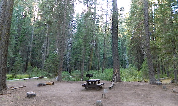
Most of the lake campgrounds listed below are traditional style campgrounds with easy access: paved driveways, toilets, tables, maybe piped water. Various agencies manage these park campsites and additional links are provided.
Some of the campgrounds may be more primitive than others, with long dirt road access, gravel driveways, and minimal facilities. This list includes a wide range of lakes, from reservable group camps, to private RV resorts to back road beauties. Even a few campgrounds without fees!
Higher elevation locations close-up for the seasonal winter snow, which can last from NOV-MAY (or later, depending on snowmelt).
no motor boats?
no RVs?
wilderness lake fishing?
trailhead access?
Each lake camp is different, so know what is available at the location before you get out there. Many spots do not have a boat ramp. Some lakes do not allow swimming. Some might be 4×4 access only, w/ hairy granite rock road, 12 miles long. If you require a general store within walking distance, then get the maps out, follow links and make sure.
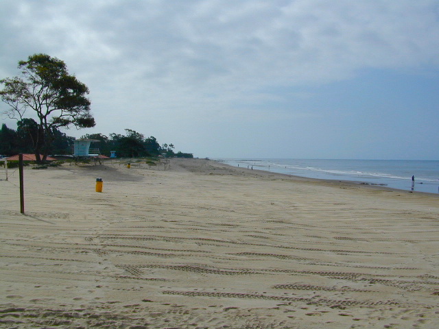
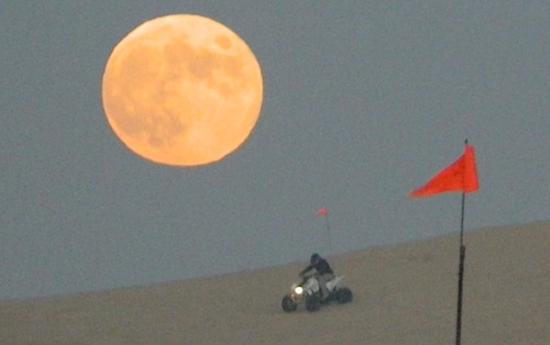
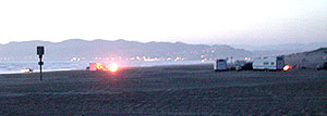
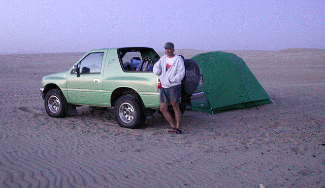
Pismo Beach Camping – Oceano Dunes SVRA (Pismo Dunes)
This might be the only place on the entire California coast where you can take your vehicle on the sand.Drive on the beach!
Open dispersed camping is available along Oceano Beach. Watch the high tide line and set camp well beyond that mark. A typical weekend is busy year round. Sand rails, quads, the beefy family SUV, or the ‘garage queen’ trucks. With all these motorized toys, you’re thinking either – yeah, or no way. Option B is listed below.
SAND DUNES
Off-Road playground, Oceano Park is also referred to as Pismo Dunes.
Oceano State Vehicle Recreation Area has open camping on the beach, with a toilet within walking distance. No tables, no fire rings or paved anything! This is where all the big boys with the big toys like to hang out. Toy box trailers, bon fires, crowds & exhaust fumes. This crew can be seen each weekend driving Hwy 166, over to Bako.
Option B:
a large 82 site coastal campground is better suited for RVers & tourists wanting to avoid dune buggies. Horseback riding, beach, bike trails, laundry, market, shops & restaurants all close by. State Park Campground within walking distance to downtown Pismo & the Pismo pier.
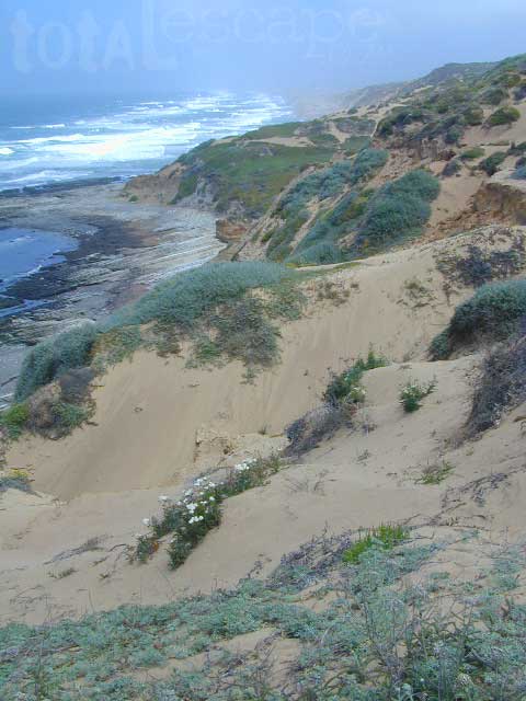
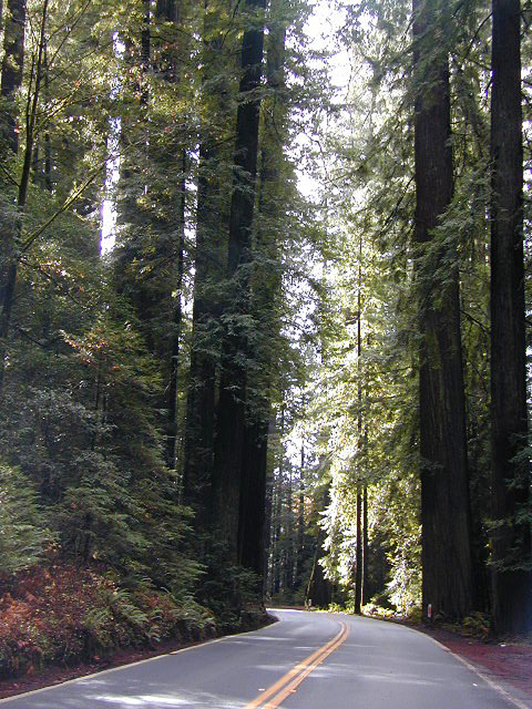
There are a few special places in California where redwood trees grow right down to the shore, but it is rare. Searching for place to pitch a tent (under the redwoods at the coast) is possible, but a bit harder to find than you might imagine. State Parks usually offer the standard paved camp site. Maybe need to drive dirt roads to find redwood seclusion.
If you are seeking free or dirt cheap, primitive camping on the coast, then LOST COAST CAMPING on the Mendocino border is one option. Or head east, inland to the abundant National Forest. Dirt roads of the Six Rivers National Forest offer old logging roads, creeks, and secluded places to pitch a tent. Campfire permits are needed for dispersed camping, or ‘boondocking’ as some call it.
Dirt back roads can get muddy during the wet season, so know your vehicles capability and if you are unsure, check with the local rangers over the phone (preferably a ‘field ranger’) before venturing out. Remember that rain and mud are the norm, most of the year.
Fog is typical of the region. Enjoy the sunshine – when you can!
Ancient volcanic peaks mix with Sierra Nevada granite rock, pine forests and fresh, clear, clean mountain water! California, of course.
Stanislaus Forest Road #7N01 leads down from Highway 4 to this popular series of alpine lakes and reservoirs. Camping, fishing, hiking and mountain biking. Sailing, canoeing, kayaking, swimming, floating and fishing are also popular water activities.
Rules of the Reservoir:
10 mph speed limit on Western Arm.
No motorized boating in Eastern Arm.
Camp only in developed Campgrounds.
2 NFS Campgrounds at west end of lake:
Spicer Campground (60 sites)
Spicer Group Camp (75 people max)
Campgrounds only open June-September. Some campsites at the campground are wheelchair accessible.
Additionally, Stanislaus River Campground w/ only 8 sites, is located just off the main access road #7N01, right near the river.
Numerous smaller lakes in the region make this a hot spot for summer vacations. Union and Utica Reservoirs (both with dirt road access) are good for kayaking and canoes, while power or sail boats prefer the larger Spicer Lake. Summit Lake and Elephant Rock Lake are perfect for quite picnics and day hikes. Trails (many unmarked) connect the lakes to each other. Area gets buried with snow in winter, so these roads are generally only open half the year.
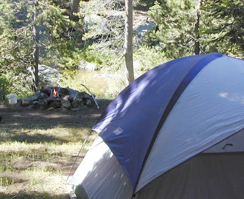
An avenue made of dirt, earthen highways, dirt trails, forest roads, fire roads, jeep road, graded roads. Dirt driving trails that lead into the middle of nowhere. No stop signs, no billboards, no stores, no one else around… for miles. Enjoy less crowds and more open space.
If you are fed up with city life, sitting in traffic & need to vacate your mind among the barren hills of California (if only for a weekend), then Total Escape is your place. You seek solitude, peace, maybe a mini tailgate party & BBQ on a dry lake bed, with the heavenly stars above. Imagine the warm camp fire light reflecting off the high canyon walls, your music echoing, moonlight hikes for a few miles.
California has some awesome spots to drive on dirt, get way back in nature. Right up to the edge of the Wilderness boundary. That’s what this one silly “dirt street” page is all about… helping you get out there, the easiest & best way possible. We even got you the right maps!
Most of this is just dirt road driving, graded, some hills, easy stuff. But on occasion you might come across a 4×4 required sign – or perhaps a triple black diamond trail. Having several good maps on hand will help you enjoy these roads, instead of stressing & wondering if there is a lock gate at the other end – 18 miles in.
Some dirt streets lead to campgrounds, some to waterfalls, some to viewpoints, some have loop options & others are just dead end; sometimes at old mines. Get ready to explore with your truck or SUV. 2WD or low clearance vehicles (such as passenger cars) should be ready to turn back if the road get too nasty. Any decent precipitation can make any unpaved road much worse & may require 4 wheel drive, so have a plan B or C as a backup idea.
This is one of those silly questions that has no real definitive answer from DanaMite. If you have camped California at all, you know it can be awe inspiring around every corner, especially the Sierra Nevada & the Coastline.
Most California transplants get so wrapped up with city life, college & new careers, that they rarely venture past the county park, much less the county line.
When they finally do break away, they are often misled to crowded campgrounds with steep reservation fees and too many RVs, walking distance to a mini mart. Often they assume camping in California is not what they thought it was going to be. Not like the photos they once saw, not the dream-like places of wildness, not the privacy they had envisioned. They may even give up on the whole ‘camping experience’ all together.
It does not have to be like this. Information is power. This web site Total Escape was made for YOU, the avid Escaper, who desires the best camping options available. One who will respect the land & care; Those that will teach their children to clean up litter & respect our precious public lands.
The California deserts are just as magnificent as the alpine meadows; The mountain peaks, the hot springs, coastal cliffs to the forests, and the river canyons!
It’s all good.
There cannot be one favorite camp spot, when you find yourself camping every month. Each site is a new destination, a place to explore, with usually a reason to return. Each season your favorite spot will change & be more desirable some months over others. From aspen trees changing color in the Eastern Sierra to wildflower meadows of the High Sierra, every place has its own unique flavor.
San Diego Backcountry
600,000 acres of SoCal desert
BLOOM: February thru May Anza Park elevations range from low to high. Lowest near eastern border of park (next to the Salton Sea) to the upper reaches of the western slopes @ 4000′ of the Laguna mountains. Lower elevations sprout up first; Micro flowers, Easter-egg-color splendor in the dry washes. Higher elevations bloom later (along w/ areas on San Diego County Rd S-2, the Great Overland Stage Route)
Drive from Temecula to Warner Springs, and then proceed east – out to the Salton Sea via Back Road Highway #S22 (Montezuma Grade). A great route to take thru the Borrego State Park – for the full gamut in vegetation & altitude. Grapevine Canyon is an alternate off road route down a scenic canyon. Culp Valley has a small campground, plus lots of boulders and decent views to the Borrego Valley. Off the highway, on dirt, one-lane side roads lead to many primitive spots. Perfect for private picnics, stargazing or overnight camping.
These are picnic lakes, hiking lakes and camping lakes that are located inside Yosemite National Park or the surrounding areas bordering the granite wonderland.
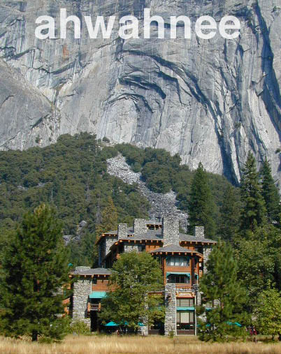
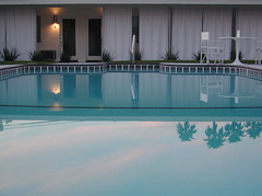
Favorite romantic places in California. Stay overnight, have dinner nearby & make a night of it, or perhaps a whole weekend. Certain places may require a 2-night minimum stay, especially on weekends or any holiday weeks. A wide variety of destinations are listed below, from rustic mountain cabins, to palm oasis hot springs, to historic lodges located in a spectacular scenic setting.
Neighboring lodges or nearby small towns could have equally as nice accommodations, perhaps still affordable, quaint, uncrowded, and “undiscovered” by the masses. Call the innkeeper and ask questions. They should be thrilled to hear from you.
WINTER NOTE: Some of these remote locations may not be open year-round, due to snowy weather, so please confirm by phone before you make the drive. Tioga Pass Resort may require a snow-mobile to access.
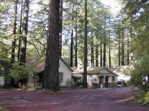
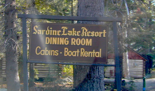
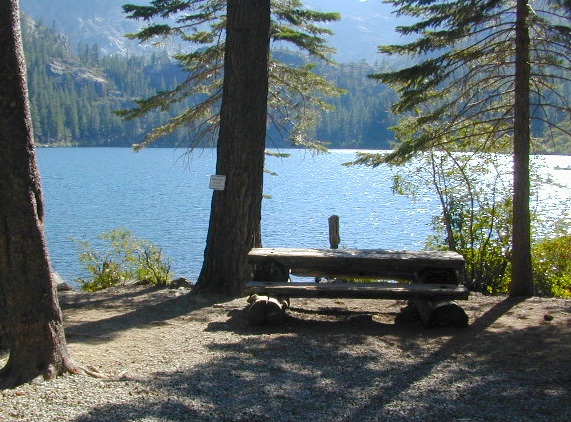
Wanna camp at a California lake surrounded by pine forest & blue skies? And you want to fish the lake too? Well, you’ve come to the right spot. Total Escape features tons of great California destinations such as these listed below. Small lakes, big reservoirs, alpine favorites, plus some high country, hidden gems.
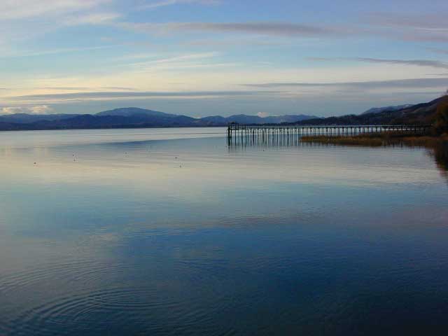
Multiple developed campgrounds & resort facilities surround these two gorgeous lakes in the Eastern Sierra, next to Bridgeport CA. Hoover Wilderness trail access to the High Sierra & Yosemite too.
Also known as Gold Lake, this Northern Sierra Nevada region features many small secluded lakes to hike to. Campgrounds are located near the lakes, but not on the lake edge. Some of these locations have cabin rentals that are open seasonally. Sierra Buttes is the key granite feature & attraction. Frazier Falls is also close by.
Just north of Mammoth Lakes, the June Lake area is one of the best places to fish in the Autumn season. The Eastern Sierra aspens start changing colors in late September. Make your reservations well in advance for cabins or campgrounds.
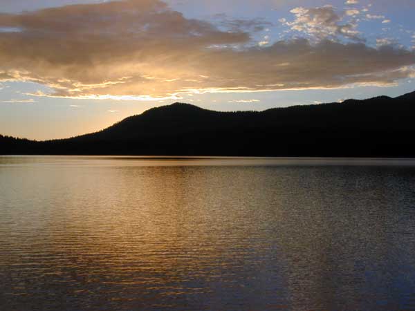
Known as a huge fishing destination, great boating & plentiful camping resorts, this Northern California lake is situated south of Lassen Peak, near Chester CA. Family vacation favorite.
This is the jewel of the Sierra Nevada mountains, centrally located for anyone to enjoy. A huge alpine lake surrounded by parks & outdoor recreation. Campgrounds book up months in advance, so make your reservations. Or you may end up camping the back roads, Total Escape style!
And a bunch more California Lakes with prime camping & fishing…
Wanna vacation near a lake this season? So does everyone else in California.
“Mountains” & “lakes” are the top camping destinations sought by most web surfers. Be prepared to search for your ultimate lake side camp. Summertime is prime time at all water sources, so make your reservations, or better yet – find a secluded lake all to yourself. (4×4 may be required).
Lakes area recreation & camping sites in California
CA Road Trip / Staycation California / Cheap Vacation California
Staycation: this is the newest media catch phrase for ‘traveling close to home’. Local travel in California. We know it well, cuz Total Escape has been featuring this kinda travel for over 2 decades. Right here on this web site you can find thousands of ideas for weekend getaways, honeymoons, spring breaks & summer vacations.
Spend less money, travel local, stay longer, see more, and really relax. Drive less miles & get to know your own backyard. We have everything from independent lodges in the most remote destinations, to free primitive camping sites on Sierra creeks.
No amusement parks, no casinos. All California, all outside. We feature waterfalls, local hikes, swimming holes, hot springs, fishing creeks, campgrounds, museums, lakes, rivers, wilderness & most all outdoor recreation. Deserts, mountains, country, coast. Beaches to Bristlecones, we have the state covered for local travel.
A good place to start is our extensive A-Z list of all California destinations & small towns.
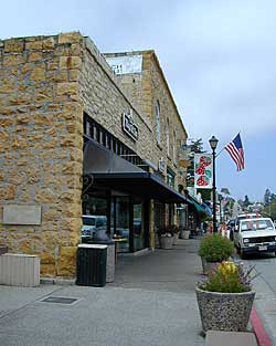
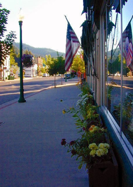
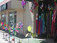
Listed on this page are California cities and towns that are well known for their shopping – downtown villages, boutiques, art galleries, gift shops, antique stores, shopping plazas, factory outlets, malls and restaurants.
Road trip weekends, all local – for super unique Christmas presents or romantic Valentine’s gifts.
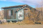
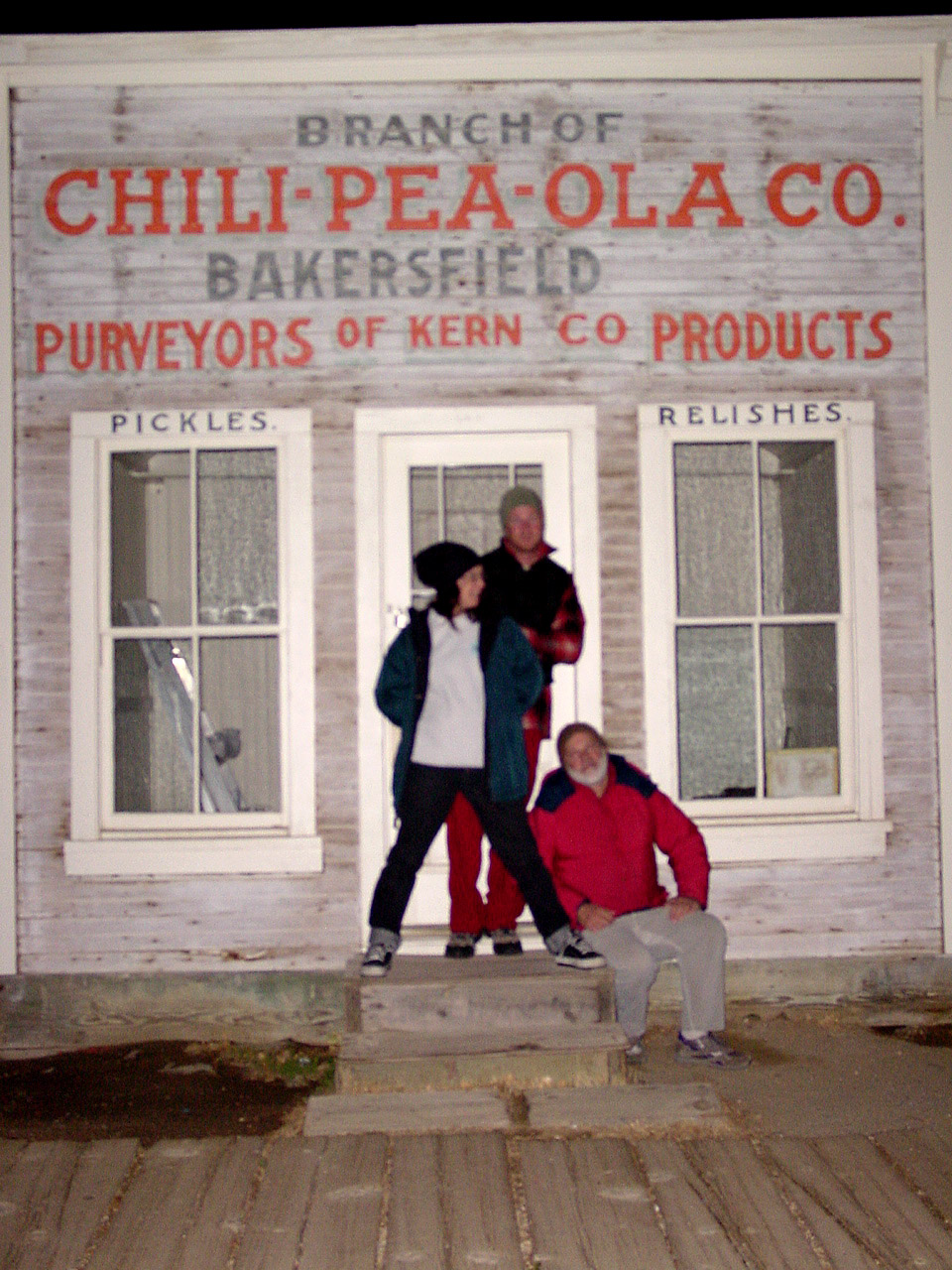
Many old west towns are still in existence in California, but few are as unique as the Randsburg Mining Camp in the Northern Mojave desert, where Hwy 395 meets the 14. The sleepy desert town is a hub of activity ( on weekends) for car clubs, dirt bikers, of-roaders & travelers passing through. Mid week you’ll see the locals and fewer tourists.
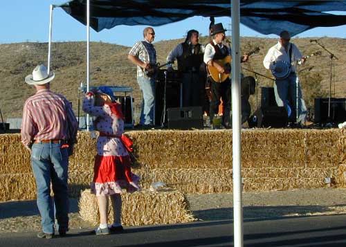
This high desert annual event is on the third Saturday in September every year, music street fair is the biggest day of the year for local residents & tourists alike. Historic sights, donkeys, horses, cowboys, live music, food & all the fun you can imagine in the middle of nowhere. One day only!


 12 NFS Campgrounds are located around Eastern Sierra Rock Creek Canyon. Elevations range from 7000′ at the highway, to over 10,000′ at a trailhead parking lot at the road’s end. Most of these developed campgrounds listed are only open a few months outta the year, due to winter snow closures (NOV-APRIL). On occasion, snow can still be on the roads until MAY.


 Some maps may have this one listed as Little Lakes Campground, but that is just the official trailhead name.


 Open dispersed camping is available along Oceano Beach. Watch the high tide line and set camp well beyond that mark. A typical weekend is busy year round. Sand rails, quads, the beefy family SUV, or the ‘garage queen’ trucks. With all these motorized toys, you’re thinking either – yeah, or no way. Option B is listed below.


 If you are fed up with city life, sitting in traffic & need to vacate your mind among the barren hills of California (if only for a weekend), then Total Escape is your place. You seek solitude, peace, maybe a mini tailgate party & BBQ on a dry lake bed, with the heavenly stars above. Imagine the warm camp fire light reflecting off the high canyon walls, your music echoing, moonlight hikes for a few miles.
 or C as a backup idea.


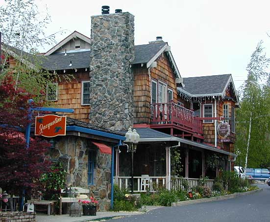
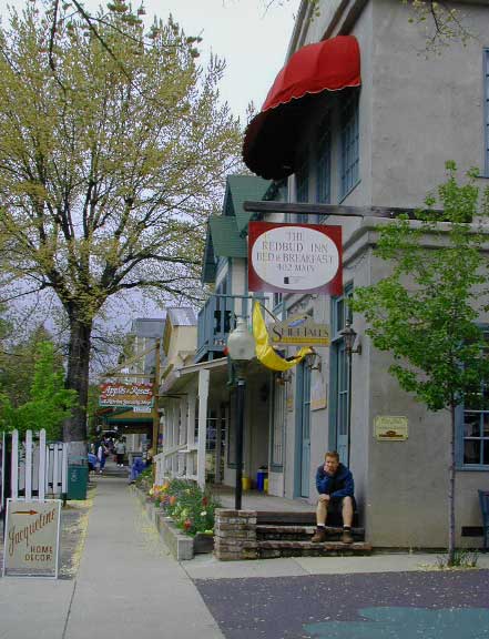 Listed on this page are California cities and towns that are well known for their shopping – downtown villages, boutiques, art galleries, gift shops, antique stores, shopping plazas, factory outlets, malls and restaurants.