Camping in Big Sur – Los Padres National Forest / Primitive Camps
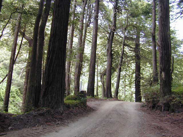
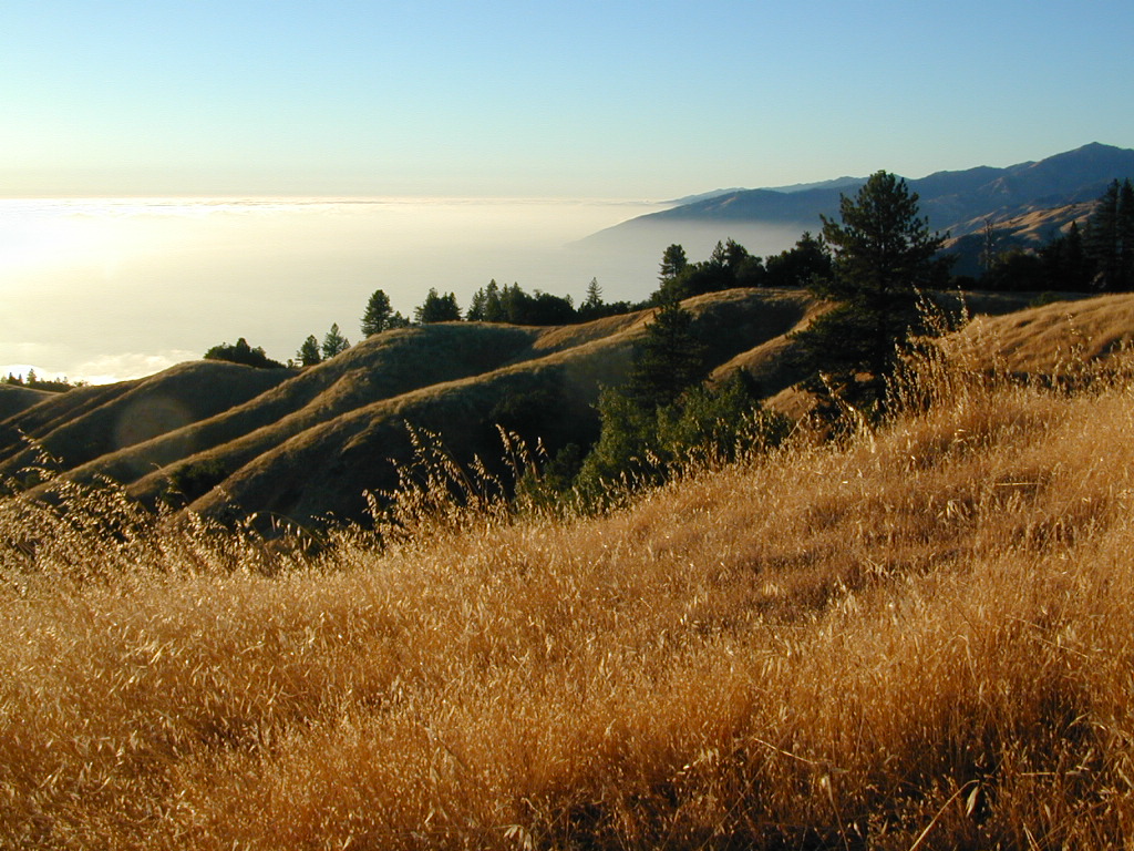
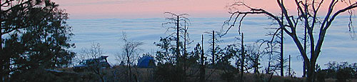
If you want to escape the expensive redwood campgrounds on the coast, then you’ll need to head for the hills . But what? You are not up for that back packing trip in Ventana Wilderness & long trek over to Sikes Hot Springs. Well, in between back packing & car camping is a new concept – “back roads” camping. Often you will do without a campfire, a table & a toilet, but heavenly skies will grace you, well above the fog.
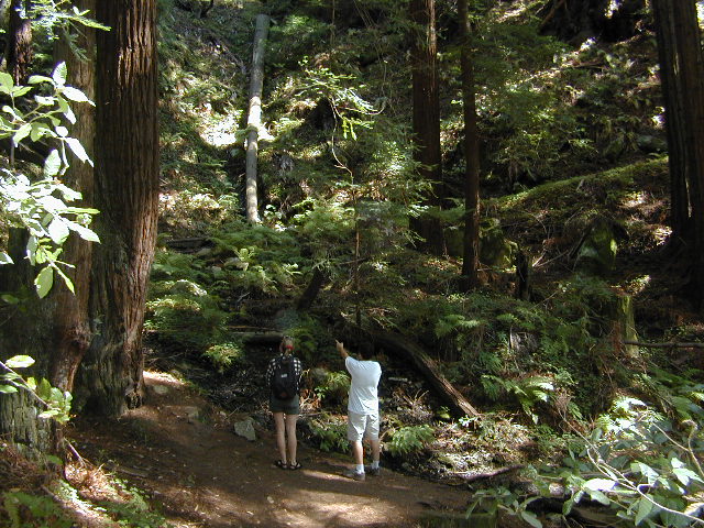
These are unmarked camp sites & there are no facilities. You’ll hafta search for yours. Nearly half of these prime camp sites have great ocean views.
Check the local ranger station for up to date fire restrictions & to obtain your free campfire permit.
| camp area |
elev | spots | veg | toilet | water | . |
| Los Burros Rd | 2000′ | 8 | oaks | no | no | Rd# 23S01 |
| Plaskett Ridge Rd | 2000′ | 3 | oaks | no | no | Rd# 23S02 |
| Prewitt Ridge #23S05 | 3200′ | 12 | oaks | no | no | via Naciemiento Ferguson Rd |
maps of the area –
- Los Padres National Forest Map (USDA)
- Big Sur Map (NatGeo)
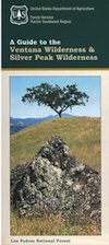
- Silver Peak Wilderness Map
- Ventana Wilderness Map
Check out the Big Sur Back Roads for self guided routes thru redwood forest.