Tag Archives: Wilderness

Sespe Hot Springs

Sespe Hot Springs
Los Padres National Forest

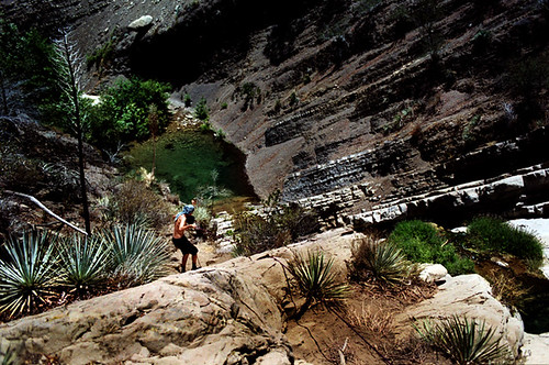
Backpackers Below

Sespe Wilderness
Los Padres National Forest

hike

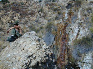
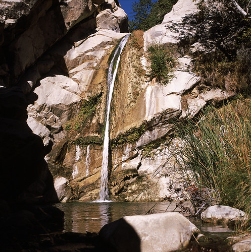
Sespe Hot Springs is one of the hottest thermal springs in the California coastal region. The unique springs, leaking from a cliff high above, leaves a red mark down the white rock wall and it is too hot to touch near the source. Scalding is possible in Sespe Gorge!

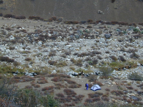
Several clearings and tent spots are located in the sandy canyon, between the cottonwood grove and the springs source. Stack river rocks and boulders to create your own soaking tub and relax. Do bring your backpack and plan on spending the night, cuz if not it’s an 18 mile RT hike (done as a day hike – it can be very long and rough). Weekdays are best for seclusion and having the whole place to yourself. Weekends are the prime time for SoCal trekkers to arrive.

DSCN3022

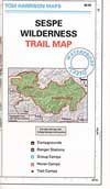
Sespe Trail MapGrade Valley Road – The access to Sespe Hot Springs trailhead is via Lockwood Valley Road; west of Frazier Park about 12 miles. Take the backroad #7N03 (Grade Valley / Mutau Road) southbound  into the forest and traverses 13 miles of rough dirt road to reach the small dirt parking lot. Deep inside this route, you are now totally surrounded by Sespe Wilderness. Both Thorn Meadows Campground and Half Moon Campground are located back here on the main dirt road. A dead end dirt road is the trailhead for Sespe Hot Springs.

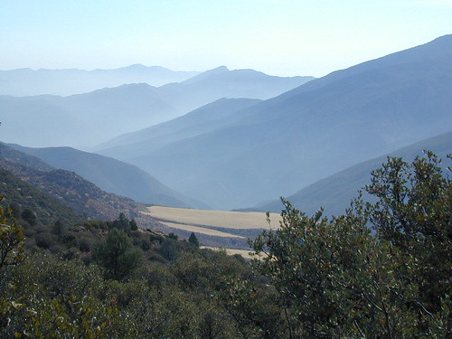
Via Johnston Ridge – The access trail is LONG, with a lot of up and downs, changing in elevation, thru pinyon pine forest and oaks, along dry dusty ridges, very exposed. Cottonwood trees line the large canyon at the Hot Springs.

3 access trails to Sespe Hot Springs

Johnston Ridge Trail

Sespe River Trail

Alder Creek Trail

Ojai Rangers Trail Description (PDF)


hike Another hike is the soaking tub @ Willet Hot Springs

NFS

Los Padres National Forest
Mt. Pinos Ranger Station
34580 Lockwood Valley Rd
Frazier Park, CA 93225
661-245-3731

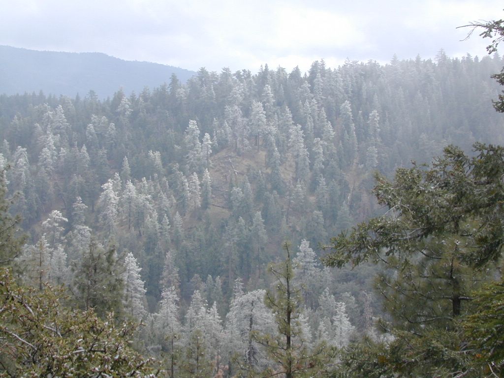
Haze in Los Padres

Matilija Wilderness

Upper Matilija Fall

Matilija Wilderness
Matilija Falls

Matilija Canyon
North of Ojai, California

Los Padres National Forest Map

Established 1992 by the Los Padres Condor Range & River Protection Act.

29,600 acres
Ojai, CA

Los Padres National Forest
Ojai Ranger District
805-646-4348

USDA web link – Matilija Wilderness

hikelospadres.com/matilija-wilderness

The coastal mountain range wilderness located approximately 12 miles north of Ojai, CA. Drive 5 miles N on Highway 33; left at the Matilija Canyon Road turn off.

Chaparral is the prevalent vegetation with poppies plentiful in springtime. Cottonwood, alder and maple trees dominate the canyon. One trail has trail campsites along it and follows 9 miles of the North Fork, gaining about 3,400′ feet in elevation as it makes a north-south journey, and leaving the Wilderness at a parking area on Cherry Creek Road. This road is open seasonally from Aug. 1 to Dec. 15

small water fall

This whole area burnt in a recent wildfire and much of it may be closed off to the public.

Matilija Canyon Trails & Trailheads

Landowner closes popular trail to Matilija Falls (2010)


View Larger Map

aaron climbing

Matilija Creek Bed

Yellow Post Campsites

yellowpost


Yellow Post Camping

Yellow Stake Camp Sites / Back Roads Camping NFS
near Cajon Pass, Big Bear & Idyllwild CA

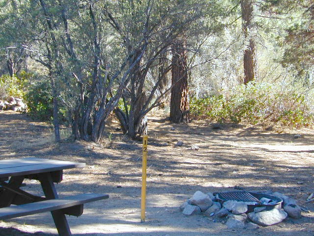
YELLOW POST CAMPS are dispersed camping sites on the back roads in Southern California, where fire danger is greatest. Forest authorities have designated certain spots as ‘fire safe’ for remote, open camping options around Big Bear Lake, Fawnskin and the Idyllwild mountain area.

If you prefer to stay out of the developed campgrounds, you will be the minority. But you must know how to read a map well to reach these beauties.

Map Big Bear

camping

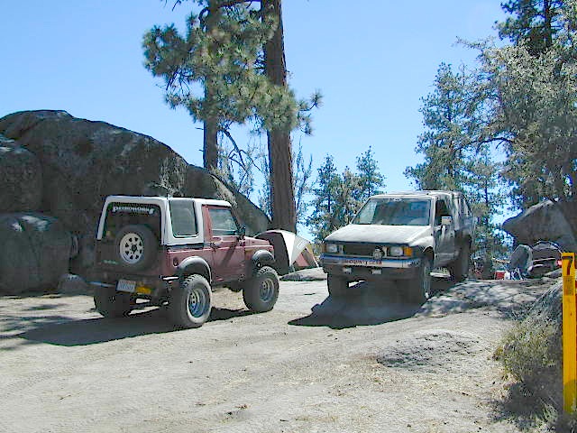
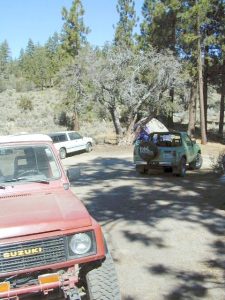
SoCal camping doesn’t have to mean crowded campgrounds. Seek your seclusion on the dirt back roads, where there are no fees, minimal noises & a private site waiting just for you. These are usually on a first come, first serve basis. A high clearance vehicle (SUV, truck or 4×4) may be needed to reach some of the premium camp spots, but there are also sites accessible by passenger cars. And, of course, a fire permit is required.

HeartBar14

In the San Bernardino National Forest there are several back woods ‘fire safe’ camping spots, that are noted with a single yellow post & some may require reservations in busy summer months. You can find out more on reserving from the Big Bear Discovery Center, 909-382-2790

campfires bannedExtra caution should be used when winds are high, camp fires are often banned due to wildfire danger. Check with local rangers for up to date conditions and always get your campfire permit.

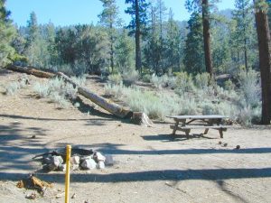
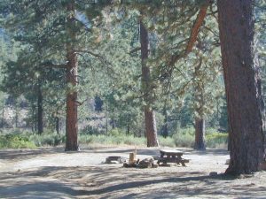
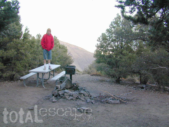
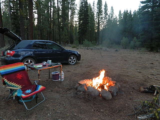
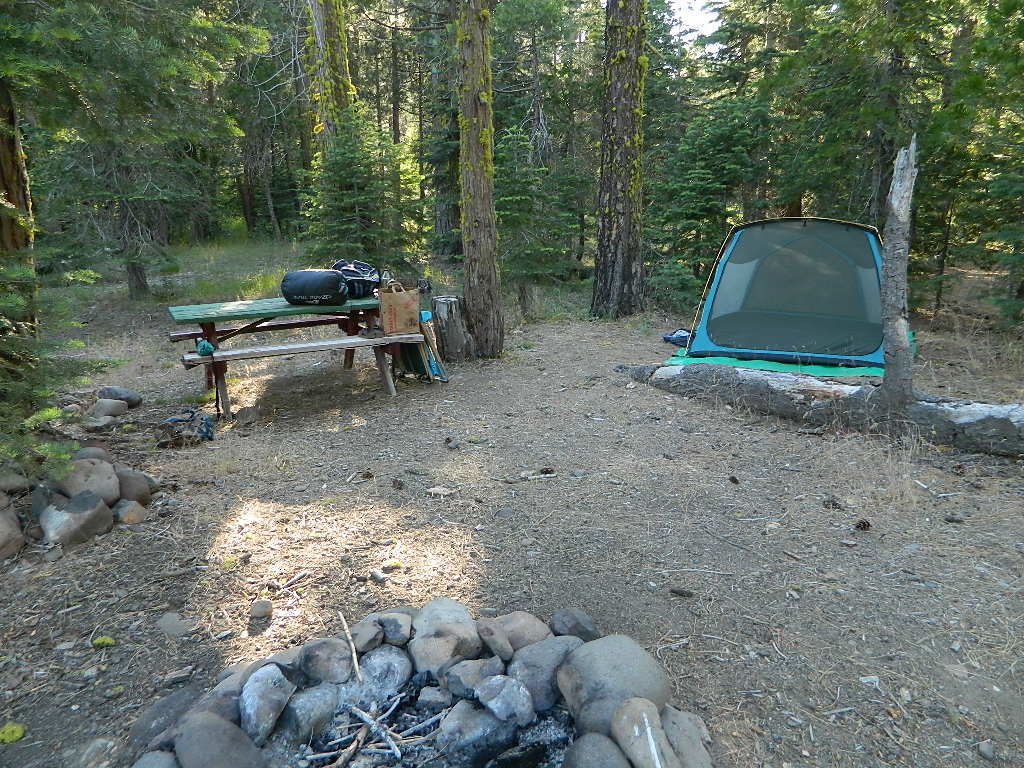
No restrooms, no water, no facilities. Just a dirt road, a fire ring & a single picnic table. Hopefully your table will not be shot up, by the local rednecks who ‘get off’ doing stupid stuff like this. Pick up any litter & leave the place better than your found it.

Yellow Post Camps

These backroad camps are perfect for the 4×4 group, stressed out social club, church group w/ rugged van, or the city SUVer who wants to get away from the crowds. The most sought after camp spots are nearest to the lake or a site accessible by RVs and horse trailers, but there are many more excellent camp sites to be discovered. USDA Forest Service Map is highly advised to reach these remote, dirt road camp areas. Rugged, steep, one lane dirt roads that lead to some of these spots. A passenger car is sometimes not suitable for all dirt roads. Rutted and steep means turn around. Wet weather changes dirt roads. Often routes close for winter w/ locked gates.

Big Bear Back Roads Camping

download PDF maps
on Big Bear Yellow Post Sites

Campsite7

Big Lots

Cajon Pass Camping near I-15

Idyllwild Dispersed Camping

thomas camp
Topo maps, Wilderness hiking maps, Equestrian trails, OHV maps –

Fishing Maps California

owensfishing

California Fishing Maps & Destinations

California fishing recreation ranges from sport-fishing, an open sea adventure, to solo casting in deep river canyons. Big Sierra Reservoirs near Gold Rush Country to High Country Alpine Lakes, the golden state has the water – and the outdoor recreation you crave.

Below is an alphabetical list of popular fishing destinations within California. Mountains to coastline, there are many maps to choose from.

American River, California

gonzagadusk

Baja California Maps
Surf, Camp, Fish, Kayak, Dive
Sea of Cortez, Baja CA Mexico

Big Bear Trail Map
San Berdoo Mountains Map
San Bernardino National Forest Map USDA
San Bernardino National Forest
Big Bear Lake, Arrowhead & Idyllwild
SoCal Mountains

Lake Berryessa California
Wine Country Reservoir

Bishop Creek Eastern Sierra

Bishop Pass Trail Map
North Lake, Sabrina, South Lake
Bishop Creek, Eastern Sierra

Bucks Lake Wilderness Map
Bucks Lake Wilderness, Quincy CA
Bucks Lake Campgrounds
North Sierra Mountains

California Delta Maps

Carson Pass, Sierra Highway 88
Carson Iceberg Wilderness Map
Central Sierra Nevada Lakes & Rivers

Casitas Lake, Ventura County

Clear Lake, Wine Country California

Crystal Basin Sierra Nevada

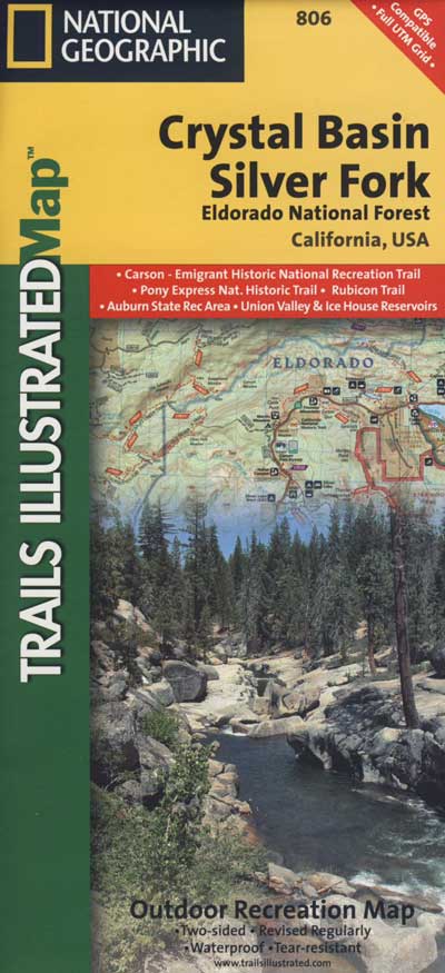
Crystal Basin / Silver Fork Map
Central Sierra Nevada Mountains
Eldorado National Forest

El Dorado National Forest Map
Mokelumne, American River

Dinkey Lakes Wilderness Map
Tom Harrison Map
Sierra Hikes, Dinkey Creek

Golden Trout Wilderness Map
Upper Kern River, Southern Sierra

Green Creek Road
creek fishing, trailhead campgrounds
Bridgeport, CA Eastern Sierra

Hat Creek California 
Headwaters to the Pit River

Lake Havasu, California 

Hoover Wilderness Map
Hoover Wilderness
Bridgeport, CA Eastern Sierra

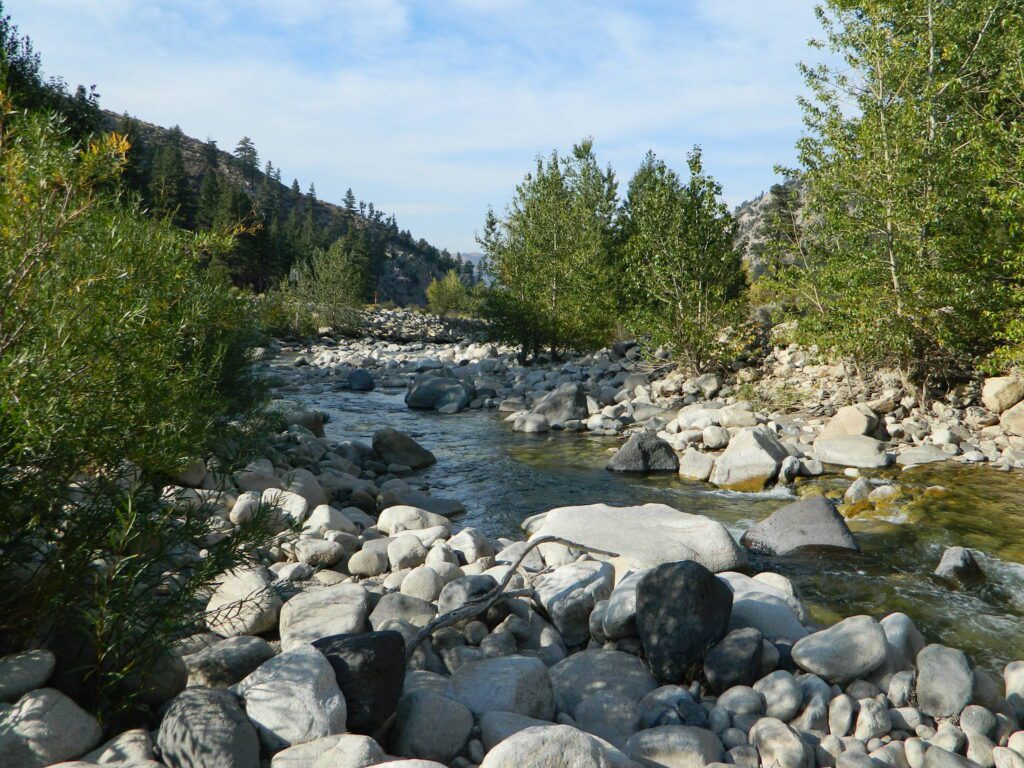
Hot Creek @ Mammoth Lakes, Eastern Sierra

Inyo National Forest Map
Mount Whitney, Owens River, High Sierra Lakes
Bishop, Crowley, Mammoth & June
Eastern Sierra Nevada Mountains

Kearsarge Pass Topo

Kearsarge Pass Trail Map
Rae Lakes Loop, High Sierra
Onion Valley, Eastern Sierra

Kings Canyon High Country Map
Kings Cyn National Park
Trails, Peaks, hike-in only Lakes

Klamath National Forest Map
Klamath River, NorCal
Hwy 96, Happy Camp, Hupa/Hoopa

Lakes Basin Recreation Area
Lakes Basin Map USDA
over a dozen small lakes, w/ trails, fishing
Gold Lake California
Sierra Buttes, North of Gold Country

Lake Isabella, Kern River

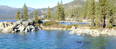
Lake Tahoe, Sierra Nevada Mountains

Lake Tahoe Map

Lake Tahoe Basin Map NatGeo

Tahoe Eastshore

Lassen Forest Map
Lassen National Forest &
Lassen National Park
Feather River, Lassen Lakes

Mammoth Map

Mammoth Lakes Map NatGeo
Mammoth Lakes CA
Mono Divide, High Sierra
June Lake, Eastern Sierra Recreation

Rush Creek

Lake Mead, Nevada

NatGeo Lake Mead Map

Lake Mohave, Nevada

Merced River Recreation Map NatGeo
Merced River & Tuolumne River
Yosemite Camping & Fishing
Gold Country, Western Sierra Rivers

Millerton Reservoir, West Sierra
Fresno, CA

Mineral King Trail Map
Southern Sequoia National Park
day hike to wilderness lakes

Owens River, Eastern Sierra

Plumas National Forest Map
Lake Almanor, Lake Oroville
Feather River (all 4 forks)

Piru Lake, California

Pit River Fishing Map 

Sacramento River, North State

Sequoia National Forest Map
Kern River, Lake Isabella
Kern Plateau, Kennedy Mdws

Shasta National Forest Map
Sacramento River, Lake Shasta
NorCal fishing, Mount Shasta

Sierra National Forest Map
San Joaquin River, Dinkey Creek
Dinkey Lakes Map
Kings River, Pine Flat Reservoir
Lake Edison, Florence
Shaver Lake Map, Huntington Lake
BlackRock, Courtright, Wishon

Stanislaus National Forest Map
Stanislaus National Forest
Sonora Pass, Dardalelle
Stanislaus River, Gold Country

sierra buttes

Tahoe National Forest:

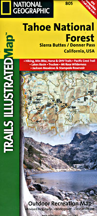
Tahoe Sierra Buttes Map NatGeo
Sierra Buttes / Donner Pass
Lakes Basin Recreation Area

Tahoe Yuba Map NatGeo
American River, Yuba River
Gold Country California

Toiyabe National Forest:
Eastern Sierra Nevada Mts

Toiyabe Carson Map
Carson River, Markleeville
Eastern Sierra, South of Tahoe

Toiyabe Bridgeport Map
Walker River, Twin Lakes
Eastern Sierra, Yosemite East

walker river California
Walker River California

Walker River Fly Fishing Map

lakes

let’s not forget the ever expanding…

California Lake List

rocklakefishing

Mammoth Fishing


Stark Weather Lake

Originally uploaded by danamight

Mammoth Mountain Lakes / Eastern Sierra Fishing

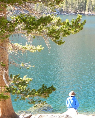
Sure splendor for fishing, most of the time. Lake fishing, stream fishing, river fishing. Fishing the Eastern Sierra area, near Mammoth Lakes, California can be very rewarding. You may have read about places like these in the sports magazines, seen them on a television program, or imagined them in a fishing vacation day dream. Summers can be crowded, so pick a lake and camp carefully. Weather can change quickly, so come prepared. Autumn fishing w/ the golden aspens and less crowds is preferred.

fishing trip

Most of these Eastern Sierra lakes listed below are accessible by car, others by foot. Look at the photos, pick a destination and get a good map of the area, so you can explore everything around too.

Mammoth Lakes Area

Mammoth Area Lakes – Mammoth City

Mammoth Area Creeks –

Mammoth Area Rivers –

  • Owens River (high desert valley)
  • San Joaquin River (high country)

junelake

June Lake Loop
Eastern Sierra, US 395 @ Hwy 158

June Area Lakes –

June Loop Creeks –

Mammoth Maps

inyo maps
Inyo National Forest Map

Ansel Adams Wilderness Maps
Devils Postpile Map
Mammoth High Country Map
Mono Divide Trail Map
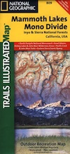
Mammoth Mono Map NatGeo

other Eastern Sierra maps –

Bishop Pass Trail Maps
Hoover Wilderness Trail Map
John Muir Wilderness Maps
Mono Lake Map
Palisades Trail Maps

horseback overnight trips
Abundant Horse Packers in Eastern Sierra, California

Balch Park

Balch Park / Sequoia Park

Balch Park Campground

BALCH PARK campground is on a first come basis; no campground reservations needed.

2021 – THIS CAMPGROUND IS CLOSED indefinitely,
due to the Castle Fire 2020

Balch Park open May to October
Park info # 559 539-3896

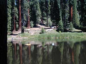
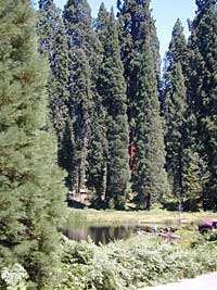
Hedrick Pond lined w/ Sequoia trees

Balch County Park is right in the middle of Mountain Home State Forest, which is within the bigger Sequoia National Forest (aka Giant Sequoia National Monument). But don’t let all the bureaucracy mislead you, this is an ideal park and location, well worth your trip. The campground is the most developed one within the area – with paved roads, RV spaces, flush toilets and a fee to go along with all that. Even gotta fishing pond.

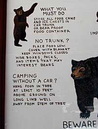
  • Bears are a big deal in these neck of the woods. Please store all your food properly to avoid a un-welcomed visitor
  • A Sequoia Grove is nearby with plenty of creeks & meadows.
  • Trailers not recommended due to the long curvy road leading up the mountain.

Balch Park & Campground NOT TO BE CONFUSED with utility company residences of BALCH CAMP between Pine Flat & Blackrock Reservoirs


View Larger Map

Helpful Maps:

Nearby cities & towns:

campground elev. spots veg toilet water fee
Balch Park
559-539-3896
6500′ 71 pines flush piped yes no reservations
first come basis

DSCN0021

Trailhead CA

bike  mountain biking
hike  hiking trailhead
bkrd  4×4 trailheads
horse equestrian trails

Rock climbing, backpacking, fly fishing creeks, snowmobiling, you name it. No matter what kind of trail you seek in California, we have the maps to get you out there, this weekend. If you seek a week long adventure in the Sierra high country, or a weekend getaway destination you’ve never heard of, or a quick after work hike near your home town, we just might have it listed. And we probably have the waterproof, topographical map too.

tentcabinyosemite

DOGS & BIKES on TRAILS:

Dog friendly trails include almost anything within the CA National Forests. Remember that most National Parks & State Parks literally forbid dogs on hiking trails. Mountain bikes can access only certain trails in parks, but in the National Forests nearly every trail or dirt road is up for grabs.

OHV ROUTES:

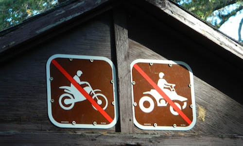
snomoiMotorized vehicles, such as quads, ATVs, dirt bikes, Jeeps & 4x4s must stick to designated routes signed specifically for OHV (off highway vehicle) & you won’t be finding many of those inside National Parks & State Parks, so it’s best to look for BLM or NF lands. Many regular, forest, back roads close in winter due to heavy snow pack & thus become cross country ski, snowshoe or even snowmobiling trails. The best ones can be found in the Sierra Nevada mountains.

Explore a decent selection of random trail heads within Cali.

hiking in Forest

And if you ever get bored with “reading” text about trails, you can always search the visual database of amazing Cali scenery over at DanaMite’s flickr site

California Fire Road

Camping for Thanksgiving

Turkey Casserole
Turkey Leftovers?

California Camping on Thanksgiving

If you’ve had it with the traditions, the big meal prep, or just sick of the family. Maybe you are a solo traveler, or a new transplant to California and need to explore more. Take a holiday away – for once this time.

Camping for turkey day? What a concept.

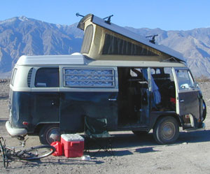
VWBus Death Valley
California is the perfect place for camping, all year long!


Stick to the lower elevations, look for canyons, and seek seclusion

California mountains often have snow during November. Avoid camping in snow @ 4000-5000′ elevation and above; Freezing temps above 3000-4000′ elevation.

Deserts, coastal regions and foothills are top choices for late Autumn car camping. Always check the weather ahead of departure, and have a plan B as an alternative. NorCal will be much wetter than the rest of the state.

MEALS: Prepare dinner meals ahead of trip departure. Bake turkey days before your trip and create meals based around that. Make mash potatoes at home and don’t forget to bring the butter. Pack pre-baked turkey for sandwiches, plus other quick snacks & meals for on-the-go travel.

seafood
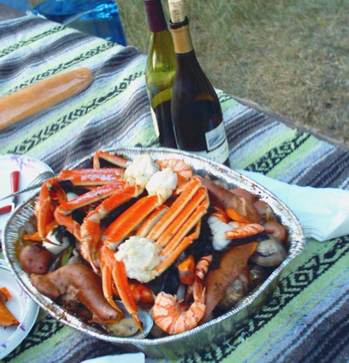
Non Traditional: Seafood Feast

Desert Camping is premium at this time of year. Luckily the eastern half of Southern Cal is desert. The lower the elevation, the better the temps will be overnight. Be prepared for wind when the ‘storm fronts’ approach, the winds do get a cranking! Dirt roads can become flowing washes during a good rainstorm, so know the weather forecast.

Coastal campgrounds may need advanced reservations. Be prepared for wet weather, especially up north. The redwoods groves are gorgeous anytime of year.

Gold County Reservoirs are prime areas for relaxing in nature, while everyone else is out shopping. Oak hills, rivers and canyons. RV campers love these large lakes; boating, fishing, mountain biking trails, kayak rentals, hiking near historic Gold Rush towns.

River Canyons of California are always beautiful destinations in the autumn months with fall leaves changing color. Many campgrounds can be found at lower elevation, river access areas.

California’s abundant Hot Springs are also top picks for holiday weekends.

Joshua Tree Campout

Joshua Tree National Park may be busy during this weekend. Instead try nearby Mecca: Box Canyon and Mecca Hills Wilderness, BLM desert lands near Interstate 10.

Anza Borrego Desert State Park is always a nice, easy and relatively close get-away for any holiday. Open camping on the backroads (for free) makes it one of the most attractive camping options in all of SoCal. Many dirt roads are accessible for passenger cars, if extreme caution is used. Don’t plan on driving more than a few miles on dirt.

froaders

Masses of off roaders love to camp out, especially on Thanksgiving weekend. Wheel all day, eat, drink, bon fires every night and rumor has it ‘they roast their big bird outdoors – deep in a dirt pit’. Really?

El Centro, Glamis, Imperial Dunes, Ocotillo Wells, Truckhaven Hills, Johnson Valley. All popular off roading areas in Southern California, so consider yourself warned.

Imperial Dunes

Mojave Desert, near US Hwy 395
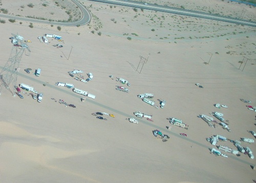
Jawbone Canyon expect to see RVs, toy-boxes and families outside enjoying the weekend. OHV style. Often the group tries to create a round corral with their huge convoy of vehicles, to keep thru traffic to a minimum around “their camp”. Just stay well away from those gear-heads. In general, it is a very busy area around Mojave up to Hwy 178 during the holidays. Try high desert Horse Canyon instead.

Bodie State Park
Bodie State Park

Tent Camping

Death Valley National Park is one of the best destinations for Thanksgiving, cuz Panamint Springs serves their free turkey dinner.

Did someone say FREE?

Leon at Mahogany

Tent Cabins in California

tent cabin rentals
Merced Lake is one remote destination along the High Sierra Camp Loop, Yosemite Wilderness.

Tent Cabins & Yurt Rentals
around California

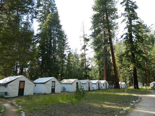
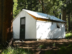
Tent cabins are made up of wooden floors, canvas walls & a canvas roof – a combination between a tent & a rustic cabin. Most have sleeping cots for beds; some have heaters, wood burning stoves or electrical outlets. A shared community bathroom is often close by.

Yurts are round versions of this same concept, with a wooden floor, real beds and usually nicer decor. Often these places request that you bring your own bed linens and towels, but each resort is different, so check the web links for detailed info.

Hike-in locations in the wilderness, rural river resorts or an easy drive to campground right off the freeway. These popular lodging accommodation are often marketed as GLAMPING, as in Glamour Camping – for the (luxury loving) princess who likes to try out nature – in a very controlled setting. Just watch out for mountain lions and bears.

Below are unique places in California that offer tent cabins, tree houses and yurt rentals.


Big Basin Redwoods Tent Cabins
Boulder Creek, CAhiker
408-338-8860
Santa Cruz mountains
WILDFIRE 2020
CLOSED INDEFINITELY

Cachuma Lake County Park
Yurt Rentals & Campground
Lake Cachuma, CA
805-568-2460
Santa Barbara Mountainscanoe

Costanoa Coastal Lodge
Pescadero, CA
650-879-1100
Santa Cruz Coastline

coloma river resort

Coloma Resort
Highway 49 @ American River
Coloma, CA
800-238-2298
California Historic Gold Country

Creekside Yurt Retreat
near Mt Shasta
Single Vacation Rental
Weed, CA
NorCal Mount Shasta

El Capitan Canyon
N of Santa Barbaraumbrella
Hwy 1 @ El Capitan
866-352-2729
805-685-3887
North Santa Barbara Coast

Fallen Leaf Campground
6 Yurt Rentals @ Campground
Lake Tahoe Basin, CA
Sierra Nevada Mountains

Hat Creek Resort
Yurts near Fishing Creekfish
12533 Highway 44
Old Station, CA
530-335-7121
Lassen National Forest

Hotel Nipton
Tent Cabins & Teepeesdirtbikes
Nipton Road @ NV stateline
760-856-2335
Mojave Desert
SUMMER 2020
CLOSED INDEFINITELY

Keough Hot Springs Resort
Hwy 395, Bishop, CA
Eastern Sierra High Desert

Lewiston Lake Yurt Rentals
@ Mary Smith Campground
Trinity River, Lewiston, CA
530-275-8113

Lupin Lodge
Clothing Optional Resortshowers
20600 Aldercroft Heights Rd.
Los Gatos CA
408-353-9200
Santa Cruz Mountains

Middle Fork Ranch
NorCal Smith River
15 acre retreat, Hwy 199
Crescent City, CA
707-457-3477
Northern California Coastal Mountains

Mother Lode River Center
6280 Hwy 49, Lotus, CAcanoe
530-626-4187
California Gold Rush Country

Mount Baldy Resort
8401 Mt Baldy Rd
Mt Baldy, CA 91759
909-982-0800

Oz Farm Retreat
41601 Mountain View Rd
Point Arena, CA
707-882-3046
Mendocino Coast

Premier RV Resorts
Cabin & Yurt rentals (in town)
Redding, CA
888-710-8450
Northern Californiaranger

River Park Resort
River Rafting Trips w/
Yurts next to American River
Coloma, CA
530-622-0553
California Gold Rush Country

Santa Margarita Lake KOA
Santa Margarita, CA
805-438-5618
800-562-5619
San Luis Obispo Backcountry

Shasta Lake Yurts
Lakeshore East Campgroundmountains
Lake Shasta, CA
530-275-8113
Northern California

Strawhouse Resort
31301 State Hwy 299
Big Flat, CA
530-623-1990
NorCal Trinity River

Treebones Resort
Ocean view yurts
Big Sur Highway 1 @ Gorda, CA
805-927-2390butterfly
877-424-4787
Big Sur Coastline

Vermillion Valley Resort
via Kaiser Pass Road
Edison Lake, Lakeshore, CA
559-259-4000
High Sierra, John Muir Wilderness

Virginia Creek Settlement
70847 Highway 395camptruck
Bridgeport, CA
760-932-7780
Eastern Sierra Nevada

Yosemite Lakes Resort
Cabins & Yurt Rentals
South Fork of the Tuolumne River
31191 Hardin Flat Rd
Groveland, CA
209-962-0121
800-533-1001
Western Sierra Nevadapinetree

Yosemite Pines RV Park
20450 Old Highway 120
Groveland, CA
209-962-7690
Western Sierra Nevada

tuolumne cabins

HSC: HIGH SIERRA CAMP

Yosemite National Park Tent Cabins:hiker
(advanced reservations required)

DustMites and AllergiesALLERGY NOTE: Most tent cabins are constructed out of heavy canvas material (fabric), which can mold when exposed to moisture (rain, fog, snow). Often they get dismantled, cleaned and stored properly over each winter season, sometimes not; All depends on weather, terrain difficulty and individual resort practices. If you suffer w/ allergies, moldy tent walls and dust mites can trigger asthma or other allergic reactions. If in doubt speak to the innkeeper or caretaker ahead of time.

Central Coast California
San Simeon SP. Central Coast of California

Rent a Treehouse

Post Ranch Inn
Tree-House Rentals in California
Big Sur, CA
Big Sur Coastline

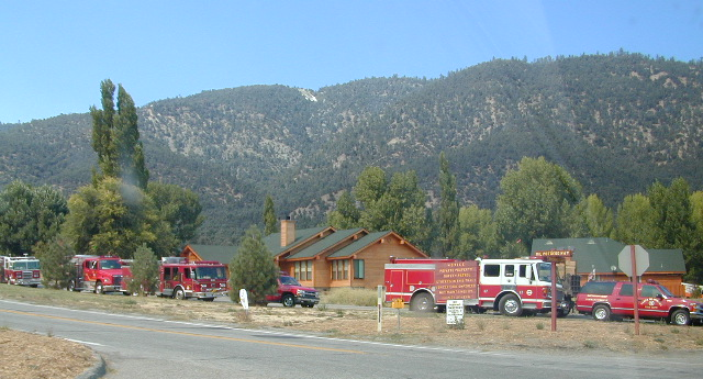
California Fire Departments

California Fire Maps

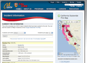
CAL Fire – California Dept of Fire
USFS, National Forests
Calif County & Volunteer Fire Departments

calfiremap

Cal Fire Map
https://www.fire.ca.gov/incidents/
CALfire: California Department of Fire

Inciwebranger
https://inciweb.nwcg.gov/
USDA / USFS
National Forest Wildfires

NASA https://firms.modaps.eosdis.nasa.gov/map/

UC Fire Activity Maphttps://ucanr.edu/sites/fire/Safety/Current/

Fire & Smoke
https://fire.airnow.gov/

Real Time Satellite Data
https://zoom.earth/


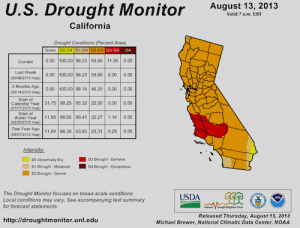
drohghtgov

Drought.gov
https://www.drought.gov/drought/data-maps-tools/current-conditions

fireforce

califrepublic

California County Fire Departments
Volunteer Fire Departments

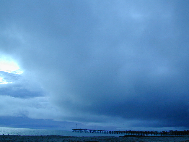
Ventura Beach Camping

Ventura Campgrounds

DSCN0825

Ventura County Park Campgrounds

on US Hwy 101 Seacliff / Mussel Shoals stretch of beach

Ventura City Campground RV Parks

blue links lead to State Park pages with camp reservations.

State Park

Ventura State Beach Campgrounds

Ventura County coastal towns

DSCN0810
Beach city w/ nice downtown, north of Los Angeles, CA


canoe

Ventura Lake Parks
located inland from coast

see also – Ojai Camping, Santa Barbara Beach Camping and Santa Barbara Mountains Camping

porthuen_hike_3

Snake Lake California

Snake Lake Campground

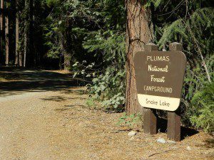
Snake Lake Campground, Plumas NF

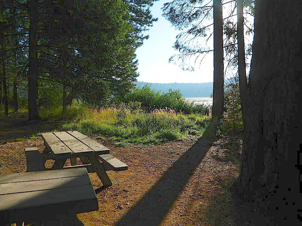
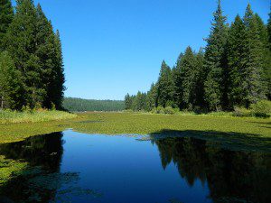
campDon’t let the name frighten you, Snake Lake is a very scenic fishing lake – but you will NOT want to swim in it. Lily pads cover the water surface most of the year so it is considered “frog heaven” during the warmer months. NFS has been upgrading these camping facilities recently. Snake Lake Campground has new picnic tables, camp fire rings, bear boxes, vault toilet and expanded equestrian camps and corrals. No piped water, so bring your own. A bucket & shovel are always required for proper campfire maintenance.

morninglakeview

One of the best campgrounds in the region, Plumas National Forest and close to Quincy, CA. Paved road access means an easy 3 miles off the main road (Bucks Lake Road, aka Oroville-Quincy Highway, Oro Quincy Hwy). 7 miles west of the town of Quincy, the green, metal, one-lane bridge is easy to spot, but the small sign for “Snake Lake 3” is easy to miss, if driving 50 mph or faster. Turn off is located in between Quincy and Meadow Valley.

New Signs

Horse Camping

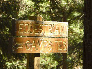
Equestrian camp sites, horse corrals, OHV trails, group picnic areas. Hiking, fishing, mountain biking, off roading, horseback trails, kayaking or canoe.

horseback

Snake Lake Campground NFS

• Elevation: 4200′
• Number of Sites: 17
• Vehicle Accessibility: small RV
• Campsites Reservation: No
• Camp Fee: Yes
• Length of Stay: 14 Days
• Season: May – October
• Trailheads: OHV, Horse & Winter Rec

This lake camp serves as a central hub for travelers, motorcyclists, campers, hikers, fishermen, off roaders and equestrians alike. Mountain biking & OHV trails go off in numerous directions and horseback trails are readily accessible. Winter Recreation Area means snowmobile trails too.

Another smaller lake, Smith Lake, is a short drive or short hike (on dirt road) further into the woods, with the Butterfly Valley Botanical Area neighboring it.

fish

another Snake Lake?

Another SNAKE LAKE exist inside Plumas National Forest. The smaller Snake lake can be accessed by off-road trail Road#12E66, off the Gold Lake Highway; 4×4 is required to reach this one. West of Gold Lake in the Lakes Basin Recreation Area. The PCT is routed nearby one mile away.

middayblue

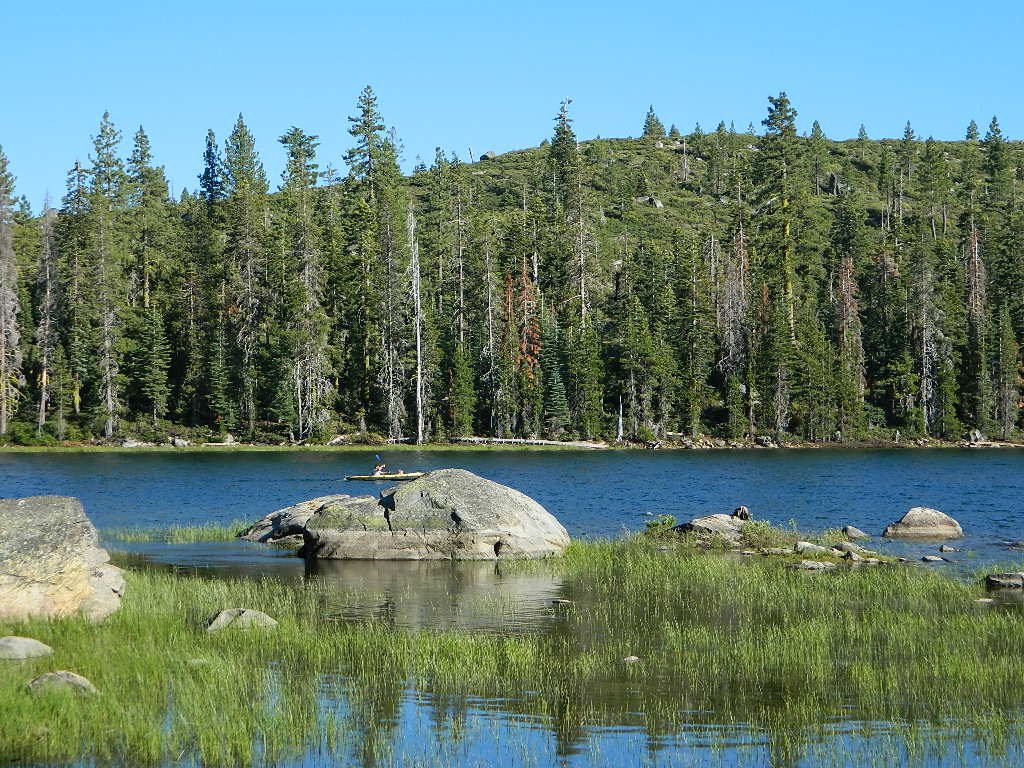
Silver Lake @ Bucks

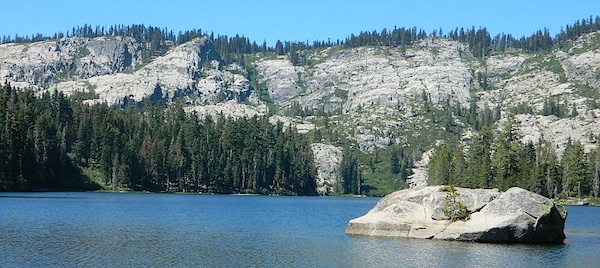
Silver Lake from Above

Silver Lake @ Bucks Lake Wilderness

(Plumas Co)

Plumas Road #24N29, off Bucks Lake Road
East of Bucks Lake, California.
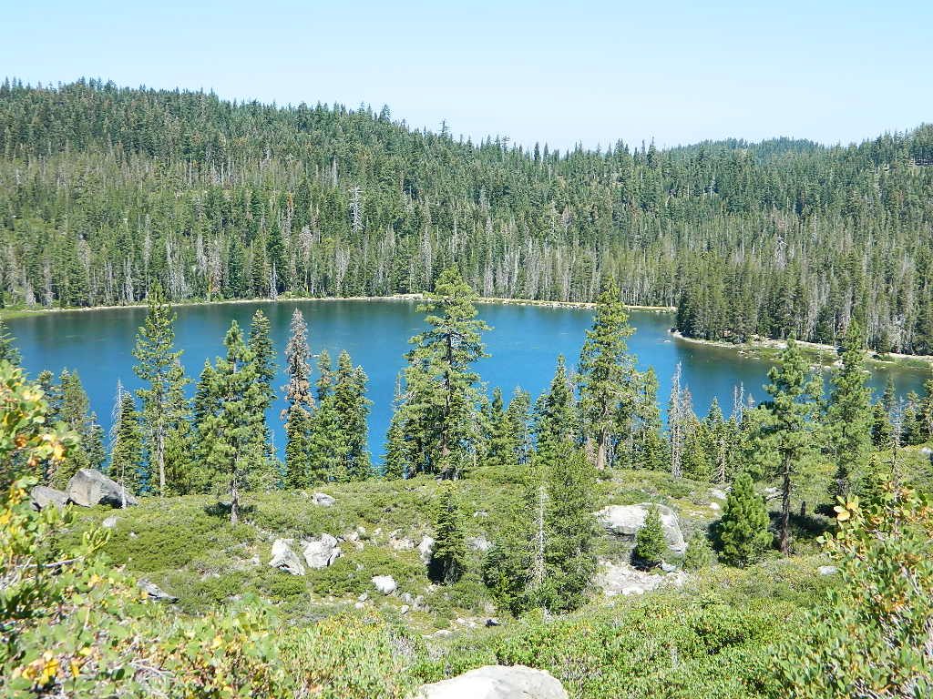
a six mile, one lane, dirt road is the only vehicle access into this high elevation, dammed reservoir, tucked back against the wilderness. Secluded lake campsites await, you’ll just need to get a little dusty first. The turn off, at a small brown sign reading “Silver Lake”, one which is very easy to miss – due to the amount of homes, cabins, fencing and driveways in the vicinity.

bucks trailhead

Bucks Lake Wilderness
Plumas National Forest

All Bucks Lake Campgrounds

Kayaker @ Silver Lake

hiker

No swimming allowed at this Silver Lake, as it serves as a drinking water source for the neighborhoods below. Canoe & kayaking are allowed. Fishing is also popular at this location. Hiking trailheads at Silver Lake lead to the PCT (Pacific Crest Trail), Mount Pleasant, Spanish Peak and a small gem of a swimming hole, we call mini Gold Lake.

Bucks Lake Wilderness Map

NFS Campground @ Silver Lake, near Quincy, CA

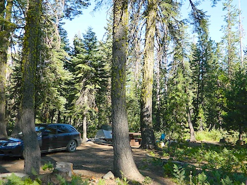
This small campground is actually set downhill from the rock earthen dam, which is something to ponder before/during a big earthquake. With sites 1-5 in a shady forest area and the others a bit closer to the lake, no campsite is too close to another. These are all well-spaced-out sites, providing decent privacy and minimal noise from neighboring campers. No campsites are located at the lake edge, as the rocky dam is a long structure and quite complex with water control measures.

All the campsites have new bear boxes for food storage, cuz ‘wilderness’ usually means black bears are roaming about. Deer tend to frequent campsites 1 & 2.

2020 update:
overnight camping fees now charged at this campground

silver camp 5

Silver Lake Campground NFS

campground

• Elevation: 5800′
• Number of Sites: 9
• Vehicle Accessibility: RV 22′
• Campsite Reservations: No
• Camp Fee: Yes
• Toilet: Vault
• Water: No piped/potable
• Length of Stay: 14 Days
• Season: May – October
• Trailheads: PCT, Gold Lake, Rock Lake, Granite Gap, Bucks Lake Wilderness

silverbackdrop

As with most of the high elevation lakes in California, winter months can mean deep snow and dirt road closures. This campground is usually open through the end of October, but call head to the local rangers if in doubt.

Plumas National Forest
Mt. Hough Ranger District
39696 State Highway 70
Quincy, CA 95971
530-283-0555

ranger

See all Silver Lakes in California

Go Solo

Traveling Alone
Camping Solo
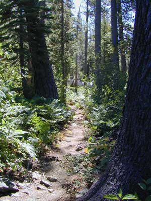
Sierra Hiking Path

it’s the way to go… slow & solo

enjoying quality time alone is not weird, wrong, or unnatural, no matter how many strange looks you get from friends & envious co-workers

Solo Outdoor Trips

Stop waiting for someone to do things with. Quit thinking that your best friend or partner will one day magically suggest an outdoorsy road trip, or day hike, or mountain bike ride. YOU are the one who craves the wildness of the earth, the unexplored, the secluded. The time is now for you to start living the life you want, outdoors, in California – today!

maybe it’s time to leave the city, for good

If you’ve just about had it with the pressures of everyday stresses, the wifi city life and the busy pace of civilized society is starting to get to you. Get a clue fast – before you loose your marbles. It’s time for much needed rest and relaxation. Nature is the best place to relax and reconnect with yourself and mother nature.

Looking to relocate to a more RURAL CALIFORNIA?

hiker

A change in scenery. A fresh perspective. A real break from the norm. No shopping, no errands, no phones, no television, no computers, nobody around. No one, except you.

and they might call you anti-social…
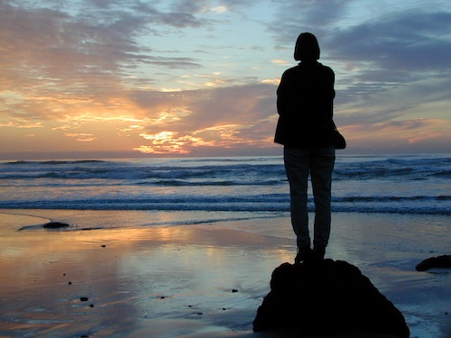
Travel Solo

alone, by yourself

away, distant, solely, detached, free, independent, unique, individually


The Call of the Wild

Unplug yourself from the hectic rat race and go exploring. Give yourself time to fully unwind: time to think, time to enjoy the outdoors and really find that special place of peace that comes only from earth. Yes, all by yourself.

VISION QUEST

Call it an annual primal ritual, or a first time experiment, traveling solo can be a blessing in disguise. Learning to be alone outdoors, become more aware of the physical world and enjoying yourself is an important key to a balanced life. Whether you seek a quick refresher course for the weekend or a full blown month long road trip, seeking a new comfortable destination and the art of basic relaxing is the main focus for this trip.
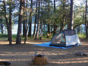
Camping Alone

slow going

When you travel alone, it’s easy to take your own sweet time. Going slow is something we don’t usually do in our busy city lives. Time is so precious, so you may as well stretch that vacation out as long as possible. Savor the moments.

Take as long as you like for – photography, picnicking, hiking, stretching, yoga, cooking and stargazing. Firewood collection becomes the biggest chore of the day, and it could take hours. Walking from camp, every direction will lead to a new adventure. Driving back roads at 20 mph is luxurious. No one to be your back seat driver. Sleep in every day if you want. No pressures, no schedules, no big worries. Sunlight, food, heat, weather, cooking and cleaning. Sit back and learn to really relax. Enjoy a secluded camp site for a full week, and get to know the wildlife on a first name basis.
Boy Camping

Follow the back roads to seclusion, or reserve several days at a unique campground. Imagine night after night of peaceful rest, with the sounds of nature surrounding you & the stars of the heavens dancing across the darkest skies.

Explore new terrain every day & move to a new camp every night. Or make it a “stay put” week-long meditation, in one spot. Whatever fits your needs. Either way, you’ll enjoy the solitude & the healing powers of nature. Answering to no one but yourself, you may feel guilty or kinda selfish the first few days, but this will fade as you learn to embrace the solo journey.

And it doesn’t hafta be all about roughin it either. While backpacking into the almighty wilds of the true wilderness has its good points – along with life threatening dangers possible every day, a simple quick weekend trip to a nearby small inn, fishing lodge,  or a bed & breakfast could work for the pampered types. Choose something different and unique, yet know your own limitations (on comfort & on a physical level). Make sure your destination choice is surrounded by some nature and preferably wilderness.

You won’t miss the television one bit!


Spend One Full Day a Week Outside in Nature

Good California Maps are a must have! Don’t rely on digital cell service or count on online maps being readily available. The hard-copy versions are always the best back up plan. Old paper maps are the very best, cuz they can often show more hidden waterfalls, trails and old mines than the newer maps.

National Forest maps are best for getting and staying away from the tourist crowds. Visit Destinations to decide what kinda place you wanna explore this season.
AtoZsmalltowns

California has it all – A to Z

which is why the golden state population always seems to be increasing, right? Helping you get away from your normal routine and the masses is what we do best here at Total Escape. Discover thousands of pages, photos and links on this site to create your very own unique retreat.

The mountains, deserts, coastal, rolling oak countryside & even urban escape inside city villages, are perfect starting points for planning your little escape. Desert Retreats California

Desert camping in autumn, winter and springtime months is perfect timing for any kinda soul searching, catching up on a good book, or just gazing out at the vast vistas. Meteor showers fall within the latter part of the year, so stargazing and camping is excellent with the new moon. Temps start to drop come September, so be warned. Mountain cabins drop to their off season rates after summer, but be prepared for chilly temps and get proper outdoor gear.
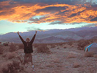
camping destinations
lakes in calif
California State Parks
hiking trails
BLM camping
back roads
usda nfs
mountains of California
California National Parks
stargazer
desert in cali

Desert Sunsets in Winter

SAFETY TIPS: Give your schedule to someone. Any bit of info is helpful. A map or written itinerary given to a neighbor or close friend will help ensure your safety and timely return. Bring your cell phone, plenty maps, bear mace, a firearm and emergency supplies for additional security.

Campfires in California

Campfires on the Back Roads
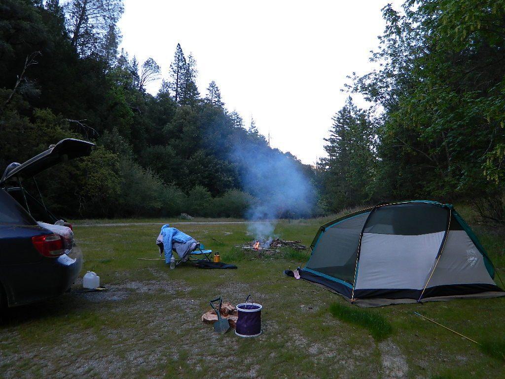
Campfires on the Back Roads: permit, shovel & water bucket required

campfireWhen & Where – Campfires in California

Campfire Restrictions in California

California has many different National Forest districts and each region has their own fire restrictions. State Parks & BLM also manages recreation areas & camping in the Golden State. Each agency & region has different rules, so blanket answers cannot apply to general questions on campfires.

CAMPFIRE PERMITS
Campfire permits are required for fires outside of designated recreation sites. During fire restrictions, campfires could be banned. Campfire Permit are available from Forest Service, CalFire or BLM offices or online,
http://www.preventwildfireca.org/

ranger

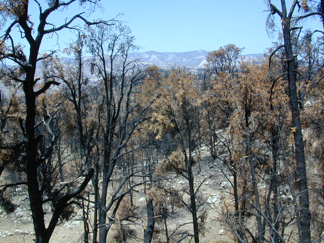
Manter Fire, Dome Land Wilderness
Manter Fire [2000], Dome Land Wilderness, Southern Sierra Nevada

the new abnormal

California suffers more from wildfires now than ever before. Native tribes let lightning strike wild fires burn and they did not suppress wildfire. Residential development creeping ever higher and denser into the foothills, an abundance of roadways, with the overgrown forest make fire danger ever more real.

Closed off wilderness areas, impassable dirt roads, landslides, fallen trees everywhere. Utility services (power lines), plus high winds and overgrown forest also play a huge part in the current wildfire catastrophes. Drought conditions or record winter rains, the huge population on the west coast -along with many other factors – means more fire danger. Educate yourself and others on fire safety, forests and weather patterns. Heed the wind, while in the wild. Wind spreads fire easily!tent camping

Current Fire Restrictions:

By mid summer we have usually have several wild land fires burning, which means campfire restrictions are usually in place before JULY 4th weekend. When this happens – No open campfires are allowed in the backcountry or on the back roads.

Often in the driest of years, no campfires are allowed (even inside the campgrounds).

camp

If you love to primitive camp outside of developed campgrounds, you need to plan more road trips for spring time & autumn. Or head further north, well above Redding – where the forest are moist and snow graces Mount Shasta year round. Or perhaps, go desert camping during winter months. Checking the National Forest web sites can be confusing and their online information could be outdated.

Each forest and area is individually managed. No concise, easy-to-read list or online map exist on which forests are allowing backcountry campfires – and which ones are not. Conditions seem to change so often and they aren’t great about updating those .gov web sites.  Best to call a local ranger station and ask about any current fire restrictions. You know, actually “talk on a phone” to a USFS, BLM or CalFire official.  If you can speak to a field ranger, they can tell you more on dispersed camping. Or you can navigate the USDA web site to find current ALERTS & RESTRICTIONS. Cryptic lingo may be encountered, and many clicks maybe needed; possibly forcing you to download a PDF of current fire rules.NFSlogo

Here is a page with all the California National Forests listed w/ phone numbers
https://totalescape.com/active/campstuff/NF/NFS.html

Narrow down a specific region by checking out where fires are active today and selecting a region well away from big fires.
http://inciweb.nwcg.gov/

see more on this topic –

Fire Safety
Camping Without a Campfire
Firewood Dealers

rock fire ring

Camp Fires Correctly

walkincampsite
Eagle Lake Tent Campground


NO Campfires?
No Campfires in California?

hiker

Fire Light Cove
Cove Camping in Anza Borrego Desert State Park

Lassen Forest Roads

Lassen Backroads

Lassen National Forest roads and trailheads, surrounding Lassen NP

Lassen Forest

Lassen National Park is completely encompassed by National Forest land with dirt roads, off road trails, serene lakes, secluded camp sites, hiking trailheads and wilderness access

California State Route 89 (highway 89) runs north/south thru the middle of the park and closes for months due to winter snow.
California State Route 36 (highway 36) runs east/west on the south side of the National Park, connecting Red Bluff to Susanville, CA

California State Route 44 (highway 44) runs east/west on the north side of the National Park, connecting Redding to Susanville, CA

camp

East of Lassen National Park

Lassen Forest Road #10
Echo Lake, Silver Lake, Caribou Lake. Campgrounds, trailheads, backpacking, day hikes, parking, equestrian.

Crater Lake on the north side of Hwy 44

Lassen Forest Road #318
Juniper Lake Road (aka Chester Juniper Lake Rd)
N of Chester, CA
paved first 5 miles, then becomes graded dirt road for another 5.

Benner Creek runs along the first half of this route w/ Banner Creek Campground: elevation 5562′ / 9 camp sites / open May-Nov

Juniper Lake at end of road w/ NPS campground
elevation 6792′ / 18 camp sites / open June-Sept

Lassen Forest Road #312
Warner Valley Road (aka Drakesbad Road)
N of Chester, CA
10 miles long, paved most of the way, then becomes graded dirt road out to Drakesbad meadow.

Lassen Forest Road #311
W of Chester, CA

Wilson Lake Road, connects Hwy 36 to Road #312
Domingo Springs Campground: elevation 5060′ / 18 camp sites / open May-Nov

fish

Lassen Road #29N18
W of Chester, CA
Loop route off Forest Road #311 w/ North Fork of the Feather River, leading to Elizabeth Lake trailhead

Lassen Road #29N19
W of Chester, CA
Graded dirt road w/easy access. Connects Forest Road #311 to highway, paralleling Hwy 36. Lost Creek runs along this route w/ Willow Springs Campground: elevation 5100′ / 14 camp sites / open May-Nov

West of Lassen National Park

Lassen Forest Road #17
W of Lassen NP
North-South dirt road that connects highway 36 to highway 44.

Heart Lake trailhead
At the south end on Hwy 36 is Battle Creek Campground: elevation 4800′ / 50 camp sites / open April-Oct

Lassen Forest Road #29N22
Mineral Road connects Hwy 89 to Viola on Hwy 44
McGowan Lake Winter Recreation Area at South entrance of Lassen National Park

nlassen
Camping North Lassen

North of Lassen National Park

Lassen Forest Road #32N13
Lassen Forest Road #32N22 (PCT crosses this route)
Twin Bridges networks dirt roads @ Hat Creek.
near Old Station Visitors Center (junction Hwy 89 & 44).

Hat Creek and Cave Campground on highway 89, Big Pine Campground off highway; Numerous dirt back roads for dispersed camping, near the viewpoint on highway 44

Road #32N20
Road #32N56 – road just south of Subway Cave near Old Station, off SR Hwy 44 lead to small Baker Lake.

Road #32N92Y side route leading from Hwy 44 to Road #32N21 along Butte Creek.
Butte Lake Ranger Station and Butte Lake Campground: elevation 5600′ / 20 camp sites /open May-Oct

Road #32N09 connects Forest Road #10 to Widow Lake trailhead and Butte Lake.
Road #32N60 is Bogart Winter Recreation Area, at Hwy 44

Hat Creek Lassen Road #18 runs north/south along Hat Creek Rim. Dirt road parallels Hat Creek Valley on the east side of Hwy 89
Road #22 connects Hwy 89 to Hat Creek Rim. A popular hang glider launch area after the University of California Radio Astronomy Observatory, then the road continues eastbound to cross Pittville Rd #111 and ends up at Little Valley

Lassen NF Road #111 is Pittville Rd, runs north/south paralleling Hat Creek Rim to the east side. This 30 mile long route connects Hwy 44 to Pitt River at Hwy 299 near Fall River Mills, CA

LASSEN MAPS

Lassen Camping for Free, Mill Creek @ 172
Lassen Camping for Free on Mill Creek

campfire

see also – Thousand Lakes Wilderness & Lassen Lakes

Big Meadow Sequoia

Big Meadow Kern

Big Meadow – Kern Plateau

Sherman’s Pass, Sequoia National Forest
Big Meadow borders Dome Land Wilderness
in the Southern Sierra Nevada mountains

horse camping National Forest Camps Mountain Biking Kern Hikes Trailer access camping

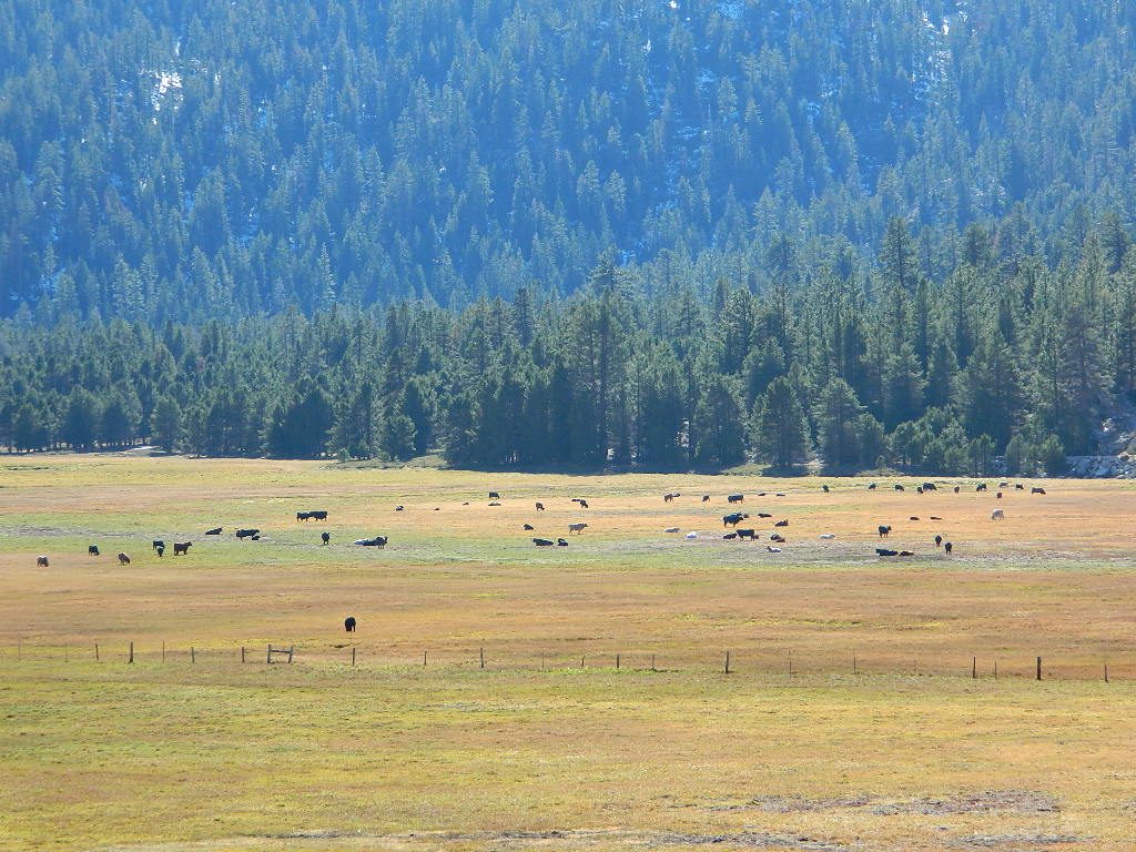
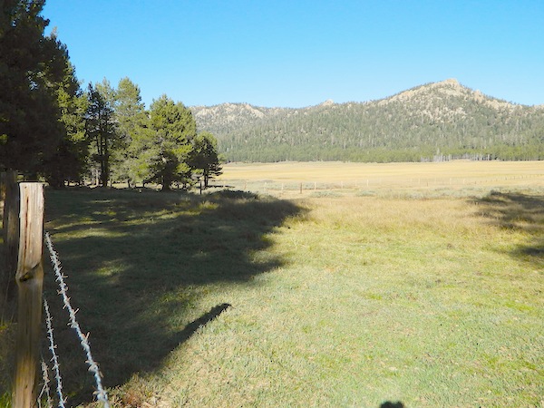
There are many large and gorgeous meadows inside Sequoia National Forest, but none compare in ‘grandeur’ to this southern Sierra public pasture. BIG MEADOW KERN

Find your way north of Kernville and the river really comes into view. Up close, right there! Stop, get out of the vehicle for a stretch break and breathe; take it all in. This is only the start of the adventure. Gorgeous Big Meadow is located up on the Kern Plateau, 3000′ above the river on the eastern ridges. Only accessible half the year due to snow, this meadow is a must see for those exploring the eastern side of the Kern River.

22s05 sherman pass

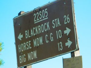
Sherman’s Pass Road #22S05 is a hard right turn after the Johnsondale Bridge. It is well signed and still easy to miss. Climb out of the dryness and into the dense forests and meadows of higher altitudes. Driving this southern Sierra-crossing route, Sherman’s Pass Rd. will require all of your concentration. Steep, curvy road without guard rails. Plus epic, scenic views (NOT to die for).

At this point – Rock slides, snow gates and road closure are typical in winter months. Check w/ rangers in Kernville about road conditions (before you head up this way).

Sequoia National Forest National Forest Camps
Kernville Ranger Station
105 Whitnet Rd
Kernville CA
760-376-3781

While traveling eastbound on Sherman’s Pass Road, the intersection to look for is

Big Meadow Road #22S12


The partially paved road will lead south a few miles, then becomes GRADED DIRT and ventures another 15+ miles – way, way out into dead-end territories. Not one road connects down to Lake Isabella!

Spur roads (all one lane, dirt roads) lead out to various places like – Cherry Hill, Big Meadow, Horse Meadow Campground, Dome Land Wilderness Trailheads, Manter Meadow, Salmon Creek Falls, Cannel Meadows, dozens of trails and spurs. Plenty of primitive camping back in these forest areas. A high clearance rig may be required the further back you go. Mud and snow are quite common in spring and fall.

Camping California Back Roads
Extra Large Camp Sites

BIG MEADOW is a favorite camp area among –
backpackers (trailheads)
equestrian (horse campers)
hunters
mountain bikers
off-road campers

westsidedrive
westside drive: ample parking and camping for horse trailers

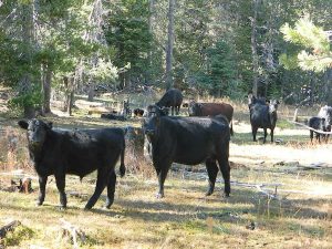
cattlecowsbeefy

no 'froading on meadows
no ‘froading on meadows

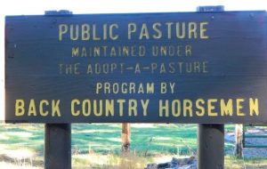
publicpasture

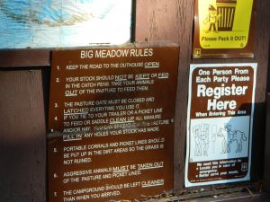
Big Meadow Rules

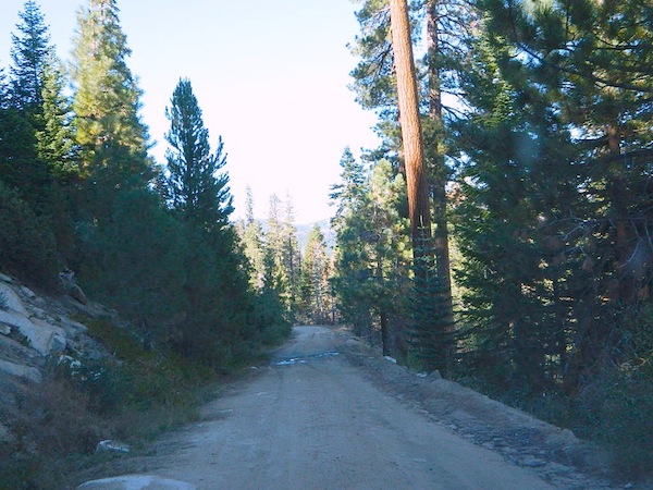
Back Loop Road
Back Loop Road, around the Big Meadow. Narrow & muddy

fencedmeadow

Or perhaps this is not the Big Meadow near Sequoia that you are seeking. National Parks The scenic, giant, public horse pasture listed above is not to be confused with #14S11 Big Meadows Road, also in National Forest land, located in between popular Sequoia National Park and Kings Canyon. (100 miles north of here)

Camp Fires Correctly

desert bonfires
Deserts & beaches are the only places for bonfires.

kill your television

Camp Fires
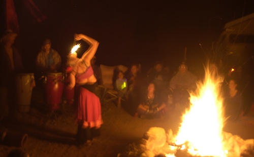
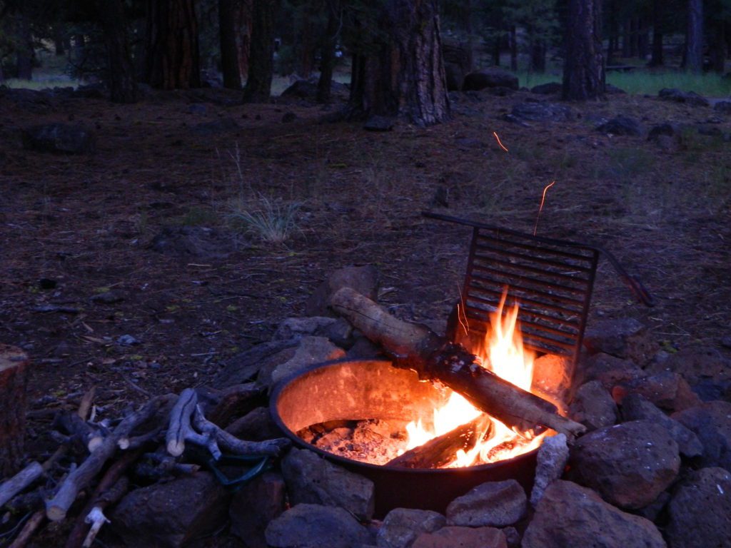
The heat source, the light source, the cook source, the sock drier, the night supplier, the outdoor LIVING ROOM. The campfire is the center stage for all entertainment, dining, drinking, music, true tales and ghost stories alike.

Since the beginning of time humans have gathered around the campfire at dark. This nightly ritual is built into us on the deepest level. We miss this today. We miss the real conversations, the community, the bonding, the stories, the soul searching. We miss the connection with nature, the fresh air and the great outdoors. The night sky filled with stars and maybe a meteor shower, a hot drink and the glow of the campfire coals. Enjoying the wilderness requires certain skills. FIRE is only ONE skill – for survival, for cooking, for warmth, for safety.

Total Escape is dedicated to those who yearn to camp, often.

In Certain Circles
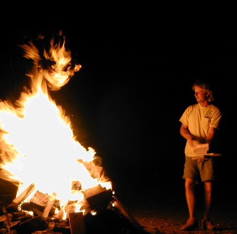
photo – Charlie Sweeney 2010

Some folks cannot imagine camping without a campfire, but we better get used to it here on the West Coast. Weather patterns swing from years of super-dry drought to deluge and drenching – as we’ve seen of recent in California. Dry conditions means high wildfire dangers, tight camp stove and strict campfire restrictions.

Each California region, National Forests and State Parks have their own fire restrictions, so call ahead to rangers for current fire conditions on the place you wish to visit. Certain mountain locations will ban fires in the back country, fires on the back roads and sometimes in extreme conditions, no fires allowed even inside a developed campground.

Campfire Basics
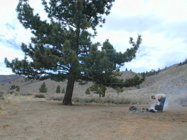
Sagebrush could be cleared back another few feet, at least.

Campfire Restrictions

fire

California is well known for its unforgiving drought conditions and its seasonal wildfire danger. Always know the fire conditions in the area you plan to camp. Most Southern California regions have banned ‘open campfires’ in forested areas, due to wildfire threat and population density. Call ahead to get an update on road closures and current campfire restrictions. Find California BLM offices & NFS ranger stations

rockfirering

Campfire Permits

If you plan on camping outside of a developed campground, you will need to get a free “camp fire permit”, which can be obtained at the local rangers office.

Find more on FREE camp fire permits

DSCN3700

California Camp Fires

  • RULE # 1 – Never leave a campfire unattended
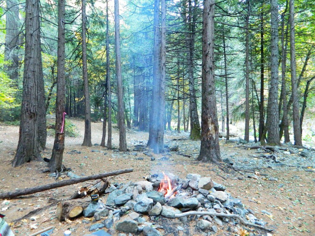
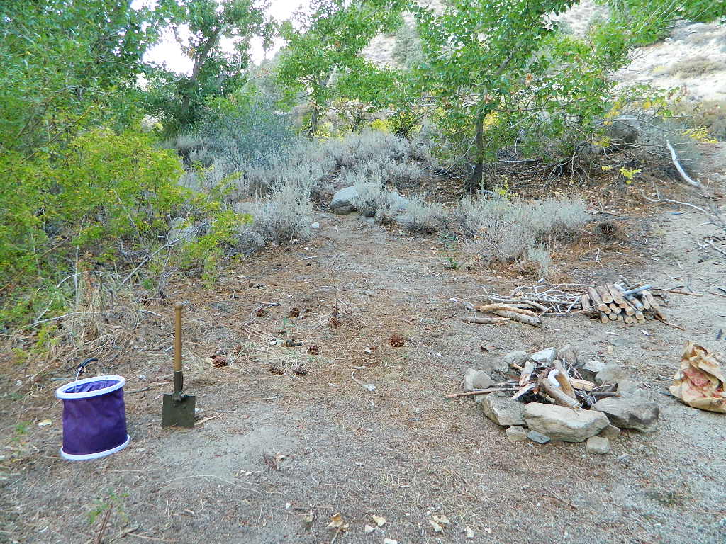
  • Build campfires in designated rings. Always try to use an existing ring when possible. If you must build a new rock fire ring, follow the guide on FireSafe
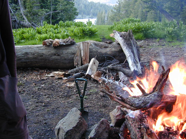
  • You will need water source & bucket, plus a decent shovel for building, maintaining and controlling a campfire. BRING enough water & tools with you to control a fire.
  • A ten foot clearance – all around, down to the bare dirt is the best practice. No brush close to the ring, no bushes, no leaves or pine needles. No dry over-hanging tree branches.
  • You might need to clean trash out of the fire pit, so bring heavy duty trash bags, or a spare old box. Shovel comes in handy here.
  • Kindling is key to getting a good fire going fast, so gather more of the small stuff. Wood gathering away from camp is usually better pickens.
  • Use environmentally friendly fire starters (with damp wood, if you must); not the BBQ lighter fluid or gasoline
  • Building fires up against a big boulder scars them w/ black soot, and although it can reflect heat back to you, it is seldom worth the unsightly damage
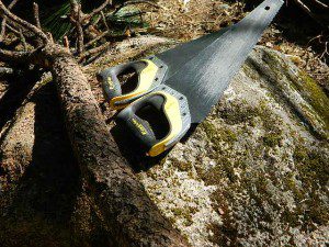
  • Bring chainsaws or hand saws for cutting your own campfire wood in the forest
  • Gathering wood for fuel — use only dead and down wood
  • A ranger issued “wood cutting permit” is required if you plan on cutting a full cord
  • Firewood page – buying locally, in California
  • Never burn plastics, batteries or other toxic materials in campfires
  • Tossing beer bottle caps into a campfire only litters site for future campers
  • While glass bottle smelting is a real treat among boys at night, which one is actually gonna get their hands dirty & clean up broken glass out of the campfire the following morning?
  • Do not leave any hot coals during the day (if you are away from camp). Winds could pick up.
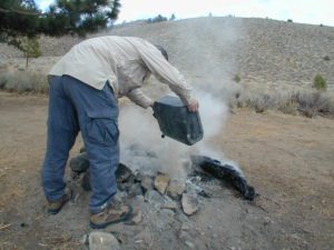
  • Always douse campfire with water completely when breaking camp. Stir it, feel for heat, and drown it more if you hear sizzling or see bubbling.
  • Read more wild fire / campfire info on our FireSafe page

Drown Fires

Last Final Step
The Final Step of Breaking Camp

Campfire Pits & Fire Containers

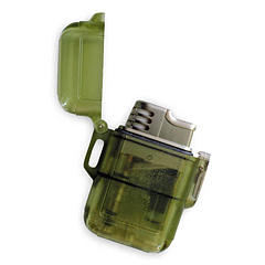
Stormproof LIghters
Stormproof Lighters

duskatblue

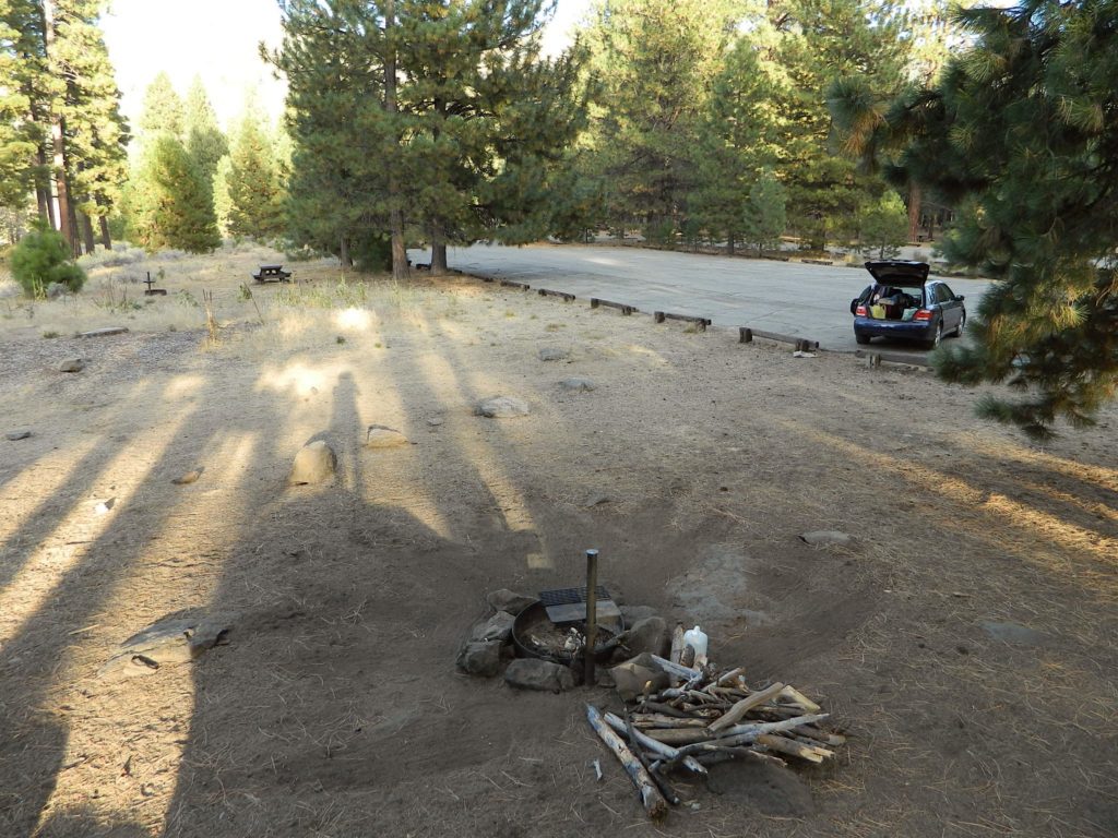
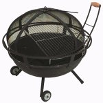
Developed Campgrounds offer sturdy, permanent, metal campfire pits. Many have adjustable grills built in.nlassenPrimitive Camping is allowed in National Forests throughout California. Campfire permits are required. This style of camping is more peaceful and secluded, without neighbors, without fees and without amenities (no table, no fire ring, no toilet)

leftovers

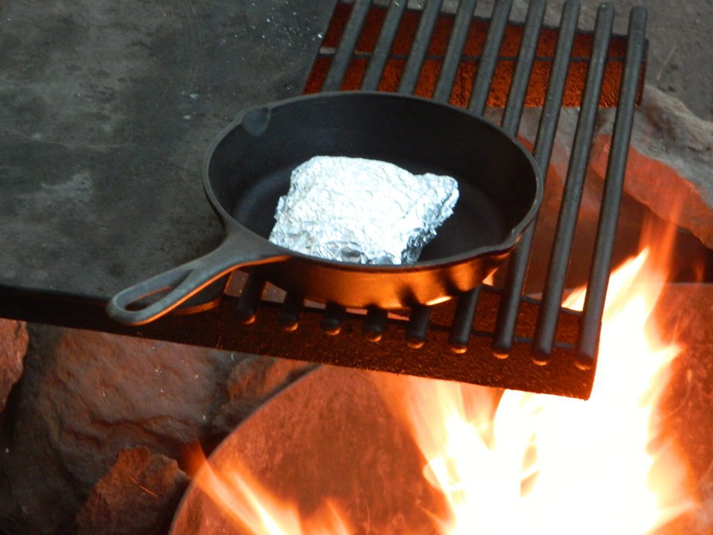
Cast Iron and a Campfire (no fuel cost, no stove needed)

Los Padres Topo

Los Padres Monterey

Los Padres National Forest Maps

Los Padres atlas
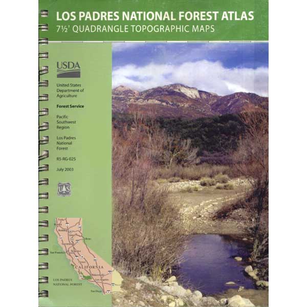
Los Padres National Forest USDA Topographic Atlas

7 minute QUADS (topo maps) inside a spiral bound book. Covers both north & south part of Los Padres National Forest. This map book can be found at ranger station – Los Padres USFS or click the book above to take you to the Total Escape Map Shop!

Los Padres Monterey Los Padres Ojai

Waterproof plastic map; USDA National Forest Service Maps

Additional topo maps for Los Padres region –

Forests

see more about Los Padres National Forest

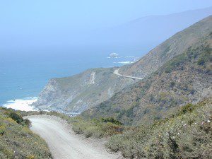
Big Sur Coast

dirtbikeshiker

Links for Los Padres National Forest destinations

hwy33overlook
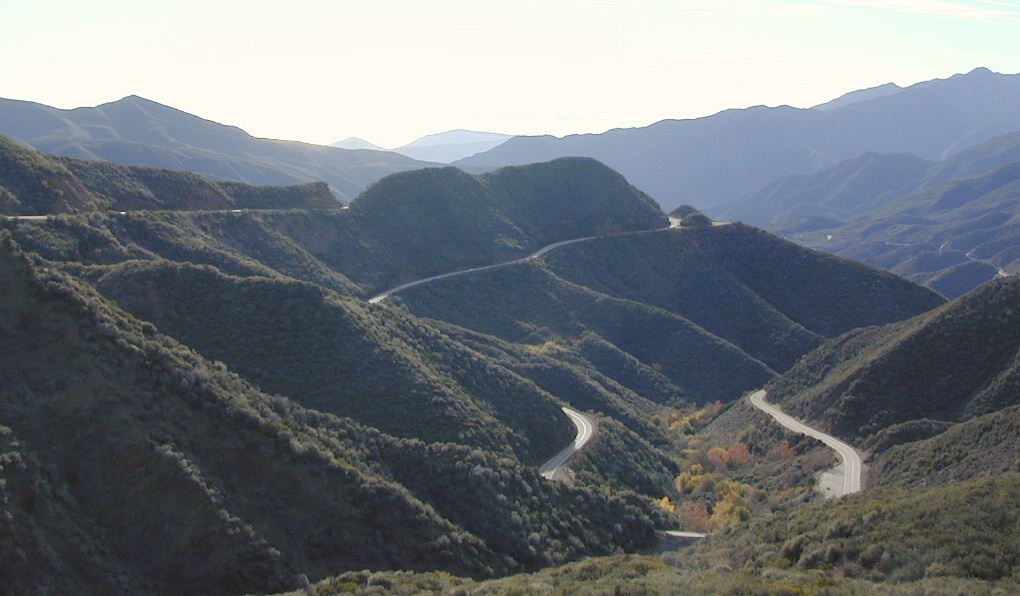
North of Ojai, CA – Highway 33 winds up to Los Padres NF

Hiking Trails Los Angeles

Los Angeles Hikes, Angeles National Forest, Angeles Crest, Baldy, Wrightwood, Palmdale, Tujunga, Frazier, and Malibu Coast

DSCN0048
You relocated to California for college or your career – and to enjoy the outdoors more, but you ended up in the Los Angeles Basin instead, breathing smog daily. You will need to escape – soon, for sanity sake.

check

Total Escape – this is your new favorite web site on California outdoors. Bookmark it dude. And be proud to love nature!
PCT hikes – Pacific Crest Trail
The world renowned  hiking trail that runs the entire length of the entire West Coast US. Canada to Baja, by way of Washington, Oregon and California – all on foot.
More PCT MAPS: Pacific Crest Trail Maps

Mount Pinos Recreation Area

Los Angeles Hiking Maps

th_angeles_d

Angeles Front Country
Angeles High Country
Angeles National Forest
Channel Islands Map
Cucamonga Wilderness
Dick Smith Wilderness
Joshua Tree Park Map
Los Padres National Forest Map
Malibu Creek Map
Mojave Preserve Map
Mount Baldy Map
Mount Wilson Trail Map
Pacific Crest Trail Maps
Point Mugu Map
San Bernardino National Forest Map
San Berdoo Mountains Maps
San Diego Backcountry Map
San Gorgonio Wilderness Map
San Jacinto Wilderness Map
Sespe Wilderness Map
Topanga Trail Map
Verdugo Mountains Trail Map
Zuma / Trancas Canyons Map

pinetree

And when you finally get bored with hiking only in Southern California, there’s a whole lot more California to explore – up state!
NORCAL – Well beyond San Francisco and Yosemite, there are meadows to be found. Seclusion and tranquility in nature, without the crowds. Too many dirt roads to drive and dozens of rivers to see. Waterfalls abound, with wildflowers and amazing scenery all around. Small towns to discover!

Fly fishing rivers, kayaking lakes, wineries, organic farms, geysers, volcanoes, caves, old bridges and so much more to find in NorCal.

DanaMite loves to cover the real nooks and crannies of California, just for you – right here on Total Escape.

hiker