Tag Archives: wildlife

Big Meadows California

Highlands Ranch
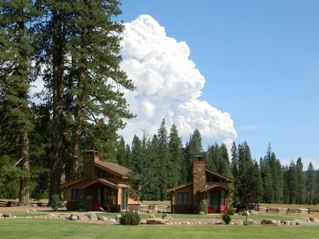
Highlands Ranch Resort cottages on Child Meadow
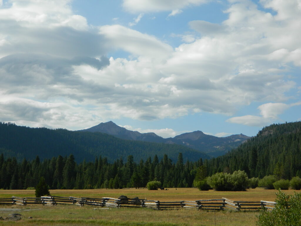
Childs Meadows Lassen
Childs Meadows @ Lassen

Big Meadows, California

In the mountains numerous places called ‘big meadows’ exist in California. Large meadows, huge meadows, high elevations and low. We are truly blessed by such a natural beauty in our local region. Remember those who have protected the land for future generations.

  • camping near
  • picnic
  • cattle grazing
  • hike thru
  • bike around
  • horseback riding
  • cross country ski
  • snowmobiling
  • stargazing
  • wildflowers
meadowroad
Inyo National Forest – highcountry backroads

For Southern California meadows – Mount Pinos has a large meadow next to the walk-in campground, Chula Vista. San Diego’s Laguna Mountain has some meadows and Big Bear Lake offers sage meadows, on the Fawnskin side.

Wild Meadows range from 3000′ elevation in the foothills, to about 11,000′ elevation in the highcountry. Vacant of trees, these wide open areas are generally colder spots, with moisture and with fragile ecosystems.

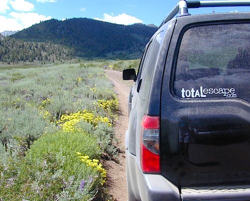
Eastern Sierra’s Inyo has gorgeous meadows of lupine wildflower (see above). Cattle grazing and 4×4 roads all over, up to 12,000′. High country mountain peaks surround. That area is called Coyote Flat w/ Coyote Lake. 4WD needed! Winter, snowy and almost inaccessible.

SNOW – Since meadows are generally located in the mountain regions, deep winter snow can make these special places impossible to reach (for about half the year). Summer is the prime time to explore the higher elevations, so plan accordingly.wildflower

WILDFLOWERS – Remember that the higher the elevation, the later the wildflowers will bloom. High Sierra meadows often bloom well into July & August.

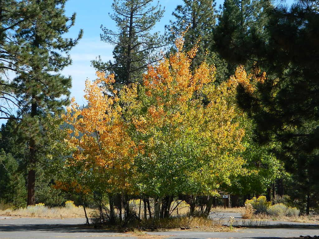
AUTUMN COLORS – Aspen groves are often located next to meadows. Fall colors can be quite decent around October, before the first snow fall of the season.
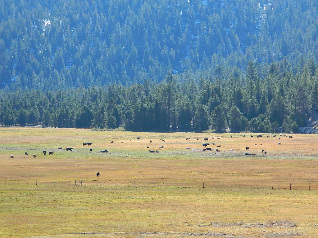
Big Meadow Kern
Big Meadow, Kern Plateau in Sequoia NF

MENDO glade – In the Mendocino National Forest the meadows are called “glades” – and the area has been heavily impacted by wildfire. Snow Mountains Wilderness was totally burnt in the Ranch Fire 2018, the largest wildfire in California history.

NORCAL history – Some Mountain Maidu tribes are known as the “Big Meadow Indians” – they made the Big Meadows of the Upper Feather River their home. Damming the Feather River created Lake Almanor in 1914, which flooded the meadows and forced native people to relocate.
reds meadow
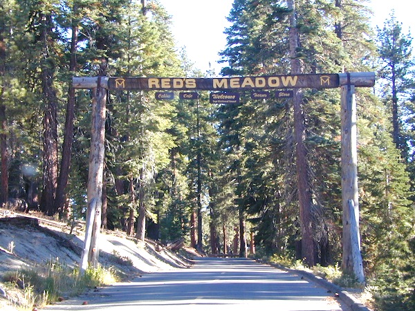
Horse pack station Red’s Meadow, behind Mammoth Mtn. Eastern Sierra

The Big Meadows below are listed from south to north.
Enjoy!

Big Meadow Sequoia, Kern Plateau, off Sherman’s Pass Rd

Big Meadows Road #14S11, Giant Sequoia NM
(in between Kings Canyon NP & Sequoia NP)

Big Meadow Campground, Sequoia, Road #14S11

Big Meadows Campground, Stanislaus NF, near Arnold, CA

Big Meadows Campground, El Dorado National Forest

Big Meadow Campground, Rock Creek Canyon, Eastern Sierra

Big Meadow Campground, Hell Hole Reservoir
Cherry Mdws

Other awesome meadow areas include –

Monache Meadows, near Kennedy Meadows @ PCT
Horse Meadow Campground NFS, Kern Plateau
Dome Land Wilderness – Manter Meadows
Shirley Meadows Road #25S15
Powell Meadow Rd#21S36, Sequoia National Forest
Jerky Meadows – Lloyds Meadow Road #22S82
(primitive camping & trailhead Golden Trout Wilderness)
Jackass Meadow, Sierra National Forest
Horseshoe Meadows Road, Lone Pine, CA
Dinkey Creek Road, Sierra National Forest
Lake Henshaw, N San Diego County
Laguna Meadows, Cleveland NF, San Diego Mountains
Indian Valley – Greenville & Taylorsville, North Sierra
Grover Hot Springs, Sierra Nevada
Dixie Glade Campground, Mendocino NF
Kingsley Glade Campground, Mendocino NF
Sugarfoot Glade Campground, Mendocino NF
Beasore Meadow, way up behind Bass Lake, CA
Dunderburg Meadow, off Green Creek Road
Butte Meadows – N of Chico, CA
Blue Lakes Road – Sierra Nevada, South of Tahoe
Kaiser Pass Meadows, above Huntington Lake, CA
Jones Valley/Jones Meadow – SR 172 in Lassen NF
Spencer Meadows (hike) – trailhead @ Hwy 36 @ Lassen
Battle Creek Meadows @ Mineral, CA & Lassen NF

Childs Meadows – along Hwy 36 @ Lassen NF
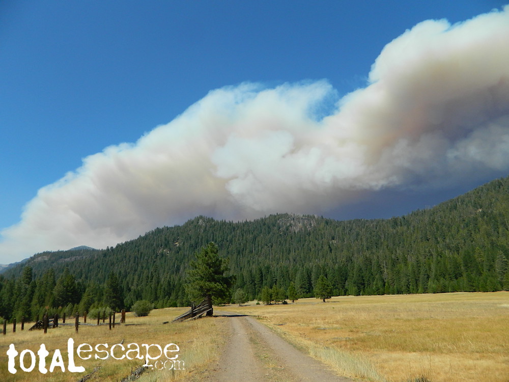
Dixie Fire @ Childs Meadow AUG 2021

MOUNTAIN MEADOWS are the perfect place to watch meteor showers! Bring your tarps, blankets, pillows and lounge chairs, plus plenty of snacks & drinks for the overnight adventure.
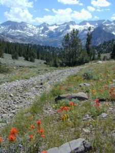
LagunaMdws
Laguna Mdws, Cleveland NF
inyohighroad
click to expand

Mammoth Hot Springs

secluded tub

Hot Springs near Mammoth

Eastern Sierra Destination:
June Lake and Mammoth Lakes, CA

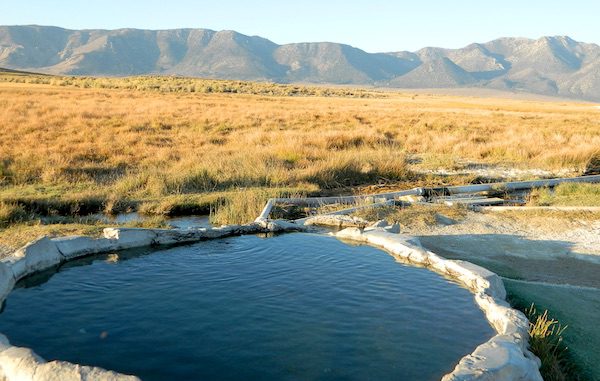
The Eastern Sierra Nevada mountains run the length of US Highway 395, through most of the eastern side of California. Mammoth mountain is a volcano, so naturally hot springs come with the package. These hot tub destinations listed here are mostly part of the Long Valley Caldera, an ancient volcanic table land. North of Bishop and near the snow ski destination towns of June Lake and Mammoth, California in Mono County, California.

Hot Springs Dirt Road

(This region is not to be confused with Mammoth Hot Springs in Yellowstone National Park, nor the Mammoth Site in Hot Springs, South Dakota.)

Backroads Camping is allowed throughout Inyo National Forest, but there is private ranch lands mixed in w/ public lands. Respect property boundaries, and speed limits around gates and intersections.

Camp sites are not located next to the soaking tubs. A few may be within walking distance. Parking is often limited at these remote, public use hot pools. Total Escape TIP: Behind Lake Crowley: abundant, free camping – wide graded dirt roads (RV and passenger car suitable). Inyo National Forest Map is recommended.

Eastside of Highway 395

Casa Diablo Hot Springs near the Mammoth exit, is a location noted on most maps, but this seems to be the geothermal power plant for the region. If you are looking for hot springs tubs to soak in, you’ll need to get off the main drag for those beauties, way off the highway.

On to dirt roads

Hot Creek

Inyo Forest Road #3S45
Hot Creek Hatchery Road

(near Mammoth Airport)
Minimal dirt road driving. A very popular spot where hot springs are located within the big creek, so you can feel cold and hot water flowing by you. Scalding can occur near vents underwater, so use caution when wading. Large parking lot overlooks the soaking area and creek canyon. Swimsuits required.

Hot Creek Hot Springs: Hot Creek Geological Site

sierraminipano

Benton Crossing Road
leads east, around Lake Crowley, to the small town and camping resort and inn of Benton Hot Springs

Inyo Forest Road #2S84
Benton Crossing Road

This rural intersection at US Hwy 395 is known for the little green church on the corner. Turn east off the highway on to this road > BENTON CROSSING.

Pull over, get out and stretch. Look at your maps, get the GPS out and then start your exploring. First timers might be able to find a soaking tub within half an hour, if you don’t get lost. Or get stuck in a muddy spot, which is easy to do at night.

Hill Top Hot Springs
Latitude: 37.6642
Longitude: 118.7883
Elevation: 6873′
also known as – “Hilltop, Pulky’s Pool”

Willy’s Hot Spring
Latitude: 37.6591
Longitude: 118.8425
also known as – “Wild Willie’s, Crowley Springs”

trail to springs

Inyo Forest Road #2S07

Whitmore Tubs Road
a major graded dirt road that leads north off of the paved road, becomes Owens River Road and connects back to US 395 many miles to the north.

Several primitive hot tubs can be found on dirt roads in this region, which lead off the main paved road. At night these remote pools can be hard to find – with no signage, no street lights and pitch black darkness. Plus the mud bogs and grassy fields all around make the landscape difficult to navigate. If you plan a nighttime arrival, then plan to drive in slowly around the pools, have your GPS handy and look for steam in the air. Cut your headlights if you see other cars or people, and proceed slowly.

Be considerate of others and friendly. Do not litter. Do not crank up music. Wait for others to finish soaking and do not rush anybody. Give others space and privacy to get dressed.

Crab Cooker Hot Springs
Latitude: 37.6633
Longitude: -118.7995
Elevation: 6857′
also known as – “Fleur de Lys”

Shepard Hot Springs
Latitude: 37.6668
Longitude: -118.8025
Elevation: 6940′
also known as – “Shepard Springs”

Rock Tub Hot Springs
Latitude: 37.6474
Longitude: -118.8080
Elevation: 6990′
also known as – “The Rock Circle”

Little Hot Creek
Latitude: 37.6902
Longitude: -118.8424
Elevation: 7000′
Inyo Forest Road #3S138
high clearance vehicle required

showers

Whitmore Pool

Whitmore Hot Springs
904 Benton Crossing Road
Mono County Park w/ public swimming pool & day use fee
Phone: 760-935-4222
also known as – “Whitmore Tubs, Whitmore Springs”

Minarets at Mammoth
Minarets at Mammoth

The Backside

Inyo Forest Road #3S11
Minaret Summit Rd

This wilderness region is located the on the west side of Mammoth Mountain, accessible by the paved Minaret Summit Road, which closes due to deep snow and is generally only open during summer months.

Red’s Meadow Hot Springs

developed campground w/ wooden sheds for baths: showers & tubs.
near Devil’s Postpile National Monument
Latitude: 37.618
Longitude: 119.074
Elevation: 7000′
also known as – “Red’s Meadow Hot Showers”

Iva Bell Hot Springs
remote, wilderness; hike-in hot springs.
south of Mammoth & Rainbow Falls, via trail #2622
Latitude: 37.532
Longitude: 119.025
Elevation: 7400′
also known as – “Fish Creek Hot Springs”

califrepublic

see more primitive hot springs in California

see hot spring camps in California

see resort hot springs in California

Blue Lake Modoc

Modoc Blue Lake
Blue Lake in Modoc National Forest
Hiking Lake
Hiking Lake w/ Loop Trail in far Northern California

Blue Lake
Modoc National Forest

When you really wanna get away from it all, take a week off and head up to Modoc – the top northeast corner of California, where the volcanic mountains line the Great Basin.  The population is minimal, cattle are abundant and the campers few. Even in mid summer, this ideal lake campground rarely fills up.

camp

Jess Valley Road leads east off US 395 @ Likely, CA – 16 miles back to this hidden gem.

Headwaters to the Pit River.

NFS Campground is shady, well managed, and spread out on the eastern slope w/ numerous paved loops. Tent campers, cross country cyclists, truck campers w/ canoes, SUV families, motorhomes with kayaks and kids.

modoc map
Modoc Map

Blue Lake Campground NFS
• Elevation: 6,050′
• Number of Sites: 48
• Vehicle Accessibility: 32′ RV
• Camp Fee: Yes
• Campsite Reservation: No
• Water: Piped
• Length of Stay: 14 Days
• Season: May –October
• Trailhead: Lake Loop
• Boat Ramp: Yes

Group Camp Facilities (by reservation only)
Modoc NF Warner Ranger District
@ 530-279-6116

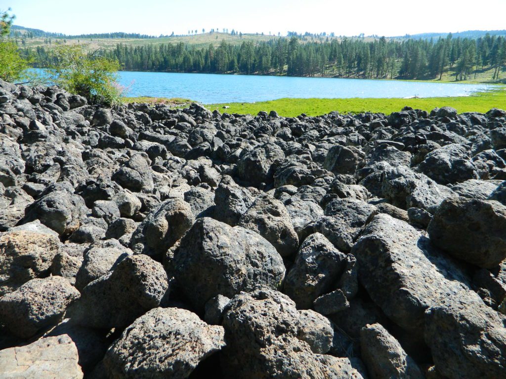
Lava Blue Lake
Lava Rock @ Blue Lake Loop, in Modoc County, CA

Blue Lake National Recreation Trail

hikerRight next to camp: A pretty much perfect LAKE LOOP (1.5 mi) hiking trail is worth a serious stroll; footbridge, wildflowers, fishing spots, minimal hills, lava rocks, and awesome scenery. Plenty of wildlife can be seen, including butterflies and bald eagles. Trail is shaded by tall white fir and ponderosa pine trees. Trailhead is located at the Day Use parking lot, w/ paved boat ramp, dock, and picnic area.

stars canoe  fish

  • back roads
  • boating
  • camping
  • canoeing
  • fishing
  • hiking
  • kayaking
  • mountain biking
  • picnicking
  • swimming
  • stargazing
  • wildflowers
  • wildlife

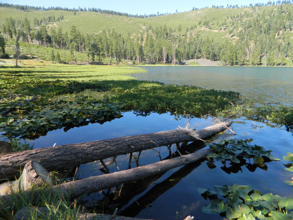
Wild Blue Lake

NOTE: not every CAMPSITE has a LAKE VIEW

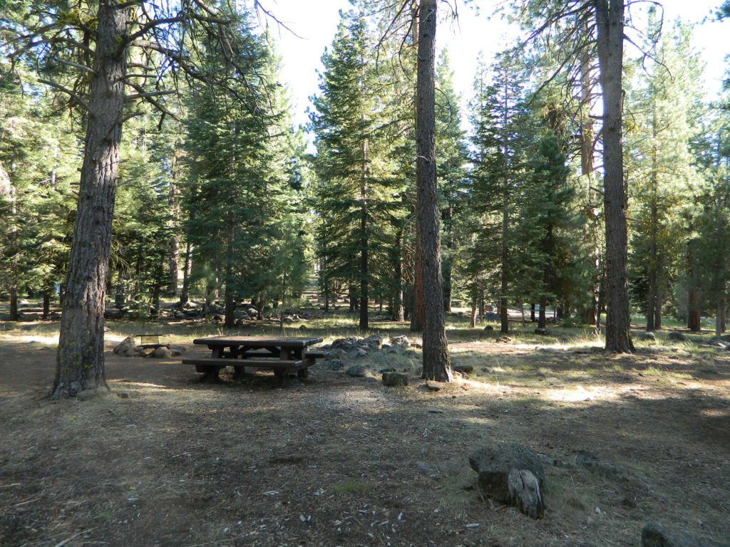
Certain campsites are adjacent to the lake; some are set facing a meadow (Autumn w/ aspen groves), or the alpine forest w/ deer grazing. Perhaps an inner circle (interior) campsite, for those who like to be close to bathrooms and piped water. Large families will love the abundance of camp settings and accommodations.

Paved Loop
Plenty of Vault Toilets
Piped Water
Recycles & Trash Service

Large Campsites
Large Campsites can accommodate Motorhomes
  • no paved camp stall
  • no hook-ups
  • no dump station
  • no cell phone signalcamptruck

popular lake camp for motorhomes

When driving a large RV back in here, be courteous of other campers. Nothing sucks more than driving a long distance to the boonies, to arrive at camp just before dark and annoying everyone else already there.

Those needing to drive the campground loops (more than twice) looking for the biggest, levelest, best camp site – and burning $10 in gasoline doing so, should consider walking in.RV

Park that beast (near boat ramp area, before the camp entrance). Get out and walk the hills and loops, BREATHE & relax – prior to a choosing camp site.

Unhitch any tow vehicles; use that to scout out your perfect spot, if you cannot hike it. Trailers and large motorhomes will find this place ideal, but getting the right camp, can make all the difference.

Trail around Campground

Paved Trail around Campground

The wildfire: BLUE FIRE burned this region in 2001, but it is lush and green again (2019). Northern California gets some real weather. Rain and snow, more than half the year. The campground closes annually due to snow.

Kayaking is best done in the morning, cuz wind picks up in the afternoon. Canoes can launch at boat ramp, or at shoreline from trails near campsite.

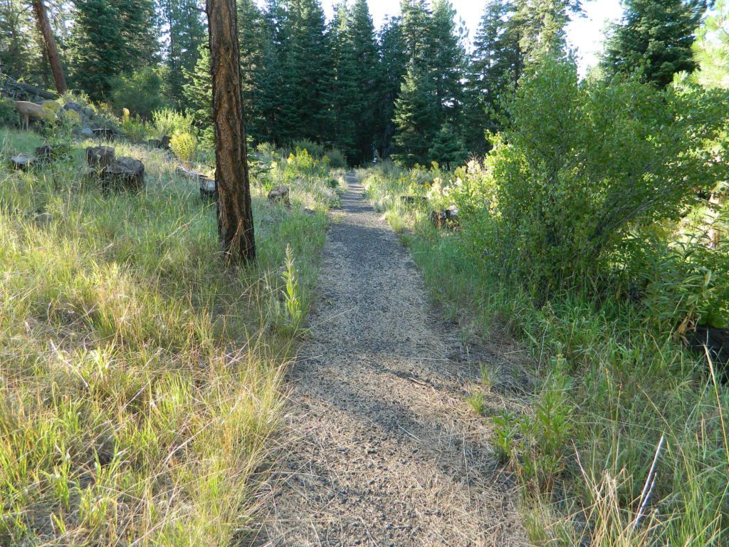
Hiking trails can be found all around lake and campground. Wilderness access can be found at South Warner trailheads within a short drive from the lake.

Cyclists also love this camp, as it is located near a major highway and is a perfect place to really relax, soak in the scenery and get some quiet-nights sleep.

Modoc National ForestNFSlogo
225 West 8th Street
Alturas, CA 96101
530-233-5811


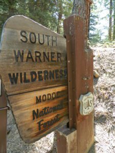
south warner sign

South Warner Wilderness is close by, driving distance; accessible by graded dirt roads. Signage is decent.

Modoc Forest Road #64 is a through-route, across the lower South Warners – 40
miles connecting to east side of the mountain, at Eagleville, CA.

Dirt Roads are suitable for trucks w/ trailers. SUVs and rugged passenger cars are okay. Motorhomes are not advised on this route.  Washboard conditions are typical. Winter closure on this route is common.

south warner mountains map

MODOC RD 64

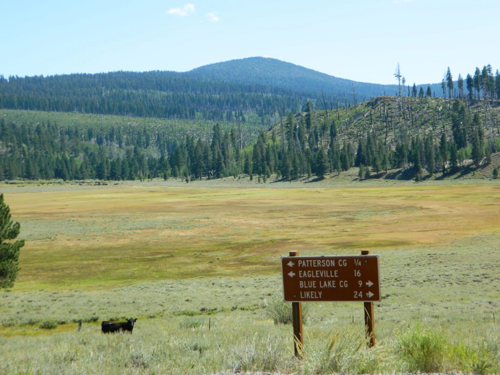
Several miles away from Blue Lake, 2 rustic trailhead campgrounds are located back this way – East Creek Campground & Patterson Campground. Less than 10 camp sites each, equipped  w/ horse stalls, vault toilets and maybe piped water. Trailhead parking for backpackers. No RVs!

Autumn colors w/ aspen groves. Open, large meadows and mature forests w/ wildfire scars. Cattle can be found grazing all around, many cattle crossing.

Minimal primitive camping options, along road sides. Campfire permits required. No camping within one mile of a developed campground.

Cow Country
Modoc is Cow Country
Road64
Day Trippin – Out exploring Modoc Road 64 (and cutting firewood)

nearby towns –

see also –
Mill Creek Falls Campground

Aspen Grove Campground

Eagle Lake, Northern California
Tent Camping

spacious camps
Spacious Camp @ Aspen Grove Campground, Eagle Lake, CA

storksateagle

camp

Large, flat campground at the lake, with shady forest and common parking lot. Bathroom with running water and flush toilets are part of the amenities, along with wheel barrows for transporting your gear to distant camp sites.

Walk-in Camp sites: A few camps are located close to the parking lot, but half the sites require a short walk to reach. Firewood is sold by camp host, or bring the saw to gather free wood on the nearby back roads. There is literally TONS of free firewood on the dirt roads.

Walk-in only season is from Labor Day to December 31st

This is a tent-only designated campground with flush toilets, next to a lake. What luxury! Camping vehicles of any type (vans, motorhomes, truck campers) are not allowed in the campground. No generators at all, makes for peaceful camping. Wheelbarrows are provided to assist moving camping gear to and from campsite.

noRVs

Aspen Grove Campground

• Elevation: 5,100′
• Number of Sites: 28
• Camping Reservations: Yes
• Sites Available: First come, First serve
• Vehicle Accessibility: no RVs
• Length of Stay: 14 Days
• Water: Piped water
• Toilet: Flush
• Season: Closed winter & spring
• Fee: Yes
• Operated By: National Forest Service
• Closest Town: Susanville, CA

eagleclouds
Large Eagle Lake, N of Susanville, CA
aspenateagle
Walk In Campsites, in the forest near the lake.
eagle aspens
Poor aspen grove. USFS Lassen National Forest WTF?

What they fail to mention on the .gov
National Forest web site:

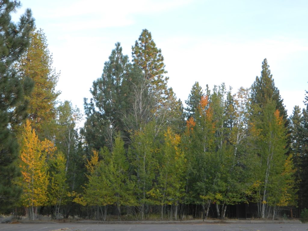
The largest aspen grove at this lake & camp is buried under pavement. Yep, that’s right.NFSlogo

The trees are bursting through the pavement hungry for growth. On the west side of camp, where the old boat launch used to be – before they realized it was the ideal spot for birds / wildlife and moved the boat ramp a mile or so away.

your tax dollars hard at work?

Now the ‘authorities’ should (manage themselves) to tear up all the old, unused paved parking lots, so the poor struggling aspen trees can make a come back. Autumn colors could be better at this location, and this aspen grove could be bigger and healthier, if the USDA would do their job and quit destroying nature.

Did I mention that this is one of the few aspen groves on any lake shore in Northern Cal?

USDA linkNFSlogo


walktolake

bird watching

blame game
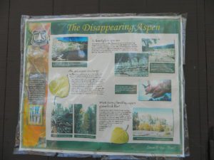
USFS signage

National Forest signs blame the disappearing aspen grove on the lack of sunlight and bigger pine tree shade, and is in the process of removing some. What about ripping up the old, unused parking lot next door – the one with weeds growing in the crack and the real phone booth – so that the aspen grove can flourish. Better forest management is needed at this prime Autumn location.

apsenparkinglot
Best Aspen Grove – covered by asphalt. Come on NFS, rip it up.
phone booth
Remember these?

Silver Lake @ Bucks

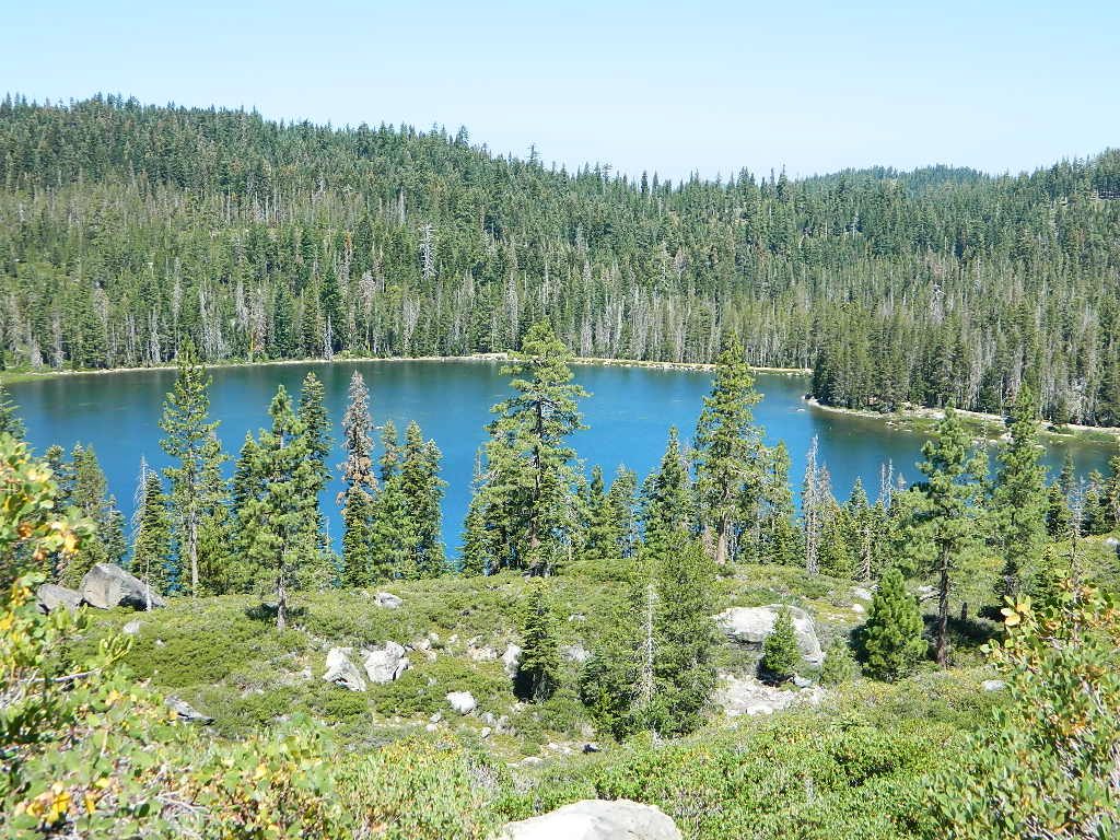
Silver Lake from Above

Silver Lake @ Bucks Lake Wilderness

(Plumas Co)

Plumas Road #24N29, off Bucks Lake Road
East of Bucks Lake, California.
a six mile, one lane, dirt road is the only vehicle access into this high elevation, dammed reservoir, tucked back against the wilderness. Secluded lake campsites await, you’ll just need to get a little dusty first. The turn off, at a small brown sign reading “Silver Lake”, one which is very easy to miss – due to the amount of homes, cabins, fencing and driveways in the vicinity.

bucks trailhead

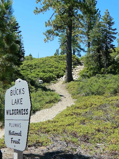
Bucks Lake Wilderness
Plumas National Forest

All Bucks Lake Campgrounds

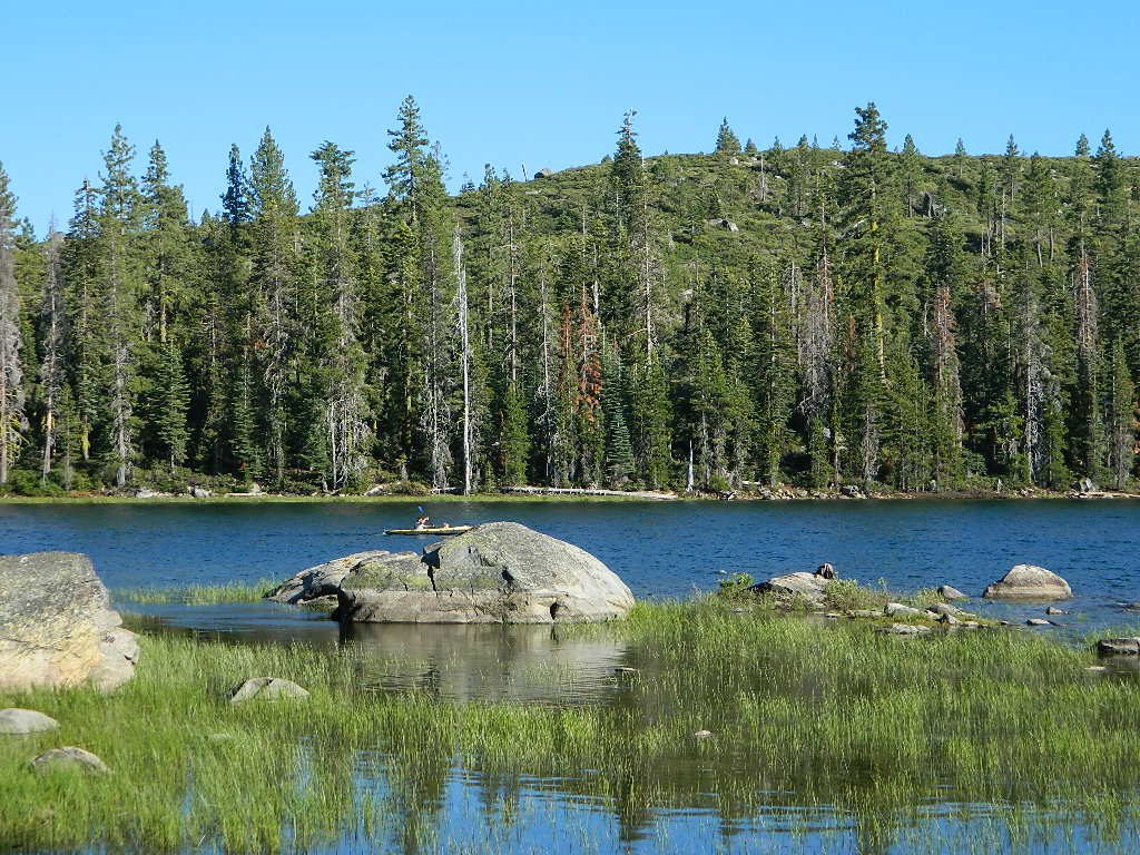
Kayaker @ Silver Lake

hiker

No swimming allowed at this Silver Lake, as it serves as a drinking water source for the neighborhoods below. Canoe & kayaking are allowed. Fishing is also popular at this location. Hiking trailheads at Silver Lake lead to the PCT (Pacific Crest Trail), Mount Pleasant, Spanish Peak and a small gem of a swimming hole, we call mini Gold Lake.

Bucks Lake Wilderness Map

NFS Campground @ Silver Lake, near Quincy, CA

This small campground is actually set downhill from the rock earthen dam, which is something to ponder before/during a big earthquake. With sites 1-5 in a shady forest area and the others a bit closer to the lake, no campsite is too close to another. These are all well-spaced-out sites, providing decent privacy and minimal noise from neighboring campers. No campsites are located at the lake edge, as the rocky dam is a long structure and quite complex with water control measures.

All the campsites have new bear boxes for food storage, cuz ‘wilderness’ usually means black bears are roaming about. Deer tend to frequent campsites 1 & 2.

2020 update:
overnight camping fees now charged at this campground

silver camp 5

Silver Lake Campground NFS

campground

• Elevation: 5800′
• Number of Sites: 9
• Vehicle Accessibility: RV 22′
• Campsite Reservations: No
• Camp Fee: Yes
• Toilet: Vault
• Water: No piped/potable
• Length of Stay: 14 Days
• Season: May – October
• Trailheads: PCT, Gold Lake, Rock Lake, Granite Gap, Bucks Lake Wilderness

silverbackdrop

As with most of the high elevation lakes in California, winter months can mean deep snow and dirt road closures. This campground is usually open through the end of October, but call head to the local rangers if in doubt.

Plumas National Forest
Mt. Hough Ranger District
39696 State Highway 70
Quincy, CA 95971
530-283-0555

ranger

See all Silver Lakes in California

California Meadows

Cherry Mdws

California Meadows

California meadow is a common term people search for when dreaming of their mountain retreat vacation or upcoming weekend camping trip.

Meadows are places in the forest where cool air collects and settles. Deer among other wildlife, can often be found here grazing around dawn and dusk. Alpine meadows are usually surrounded by trees with lush green grasses, located at higher altitudes above 6000′ – the ‘highcountry’ as most like to say.

Find meadows on National Forest lands from 3000-10,000′ elevation, and it is not uncommon to see cattle grazing in these same regions. California National Parks have some of the most protected meadows in the golden state!

MT SAGE – mountain sage meadows

High desert mountains have drier landscapes, with large sage brush meadows surrounded by sparse pinon pine and/or juniper forest. The Mojave desert’s sagebrush reaches out westward to the peaks of West Kern County. High deserts and mountain meadows can both have significant wildflower blooms. The deserts start to show color in March & April, while the highest elevations of the Sierra Nevada can bloom as late as July & August. All California Wildflowers depend on autumn seasonal rains & snow melt.

Kennedy Meadows from Bald
Kennedy Meadows from Bald Mountain Fire Lookout

Wilderness Meadows

The best places to find secluded wildflower meadows is on the high country trails of various mountains – Mount Pinos, Sierra Nevada, Shasta, Trinity & Lassen – all have marvelous meadows, some have easy access w/ parking nearby and others are hike-in only. Locate hiking trailheads for meadows and possibly find camp nearby.

Excellent near Meadows:
Stargazing, Wildflowers, Wildlife Viewing, Horse Camping

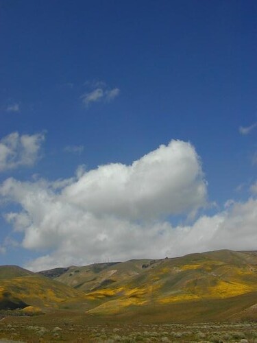
Explore dirt back roads of California to find your very own meadow. If you would like to explore at this level, a good topo map is highly advised. The Sierra Nevada mountains have the most beautiful meadows in the state (by far). Their scenery w/ granite outcroppings and wild flowers, surpasses all else. Although on rare occasions, even the Antelope Valley can look amazing — with poppies.

Common Wildflowers

BEST PLACES TO FIND MEADOWS

Lupine Drive

Rules of the Meadow

Mountain Meadows are sacred spaces: Do not disturb the lush, grassy landscape, as wildlife rely on these areas for survival.

No driving on meadows. No camping on meadows; No Campfires; Camp next to (or nearby), but not on top of the meadow. Picnicking should be kept on the sidelines.

4x4Stay on designated dirt roads: No tires across the meadow; No mountain biking, No dirt bikes, No off roading. You’re not spreading the seeds, you’re destroying a fragile ecosystem.
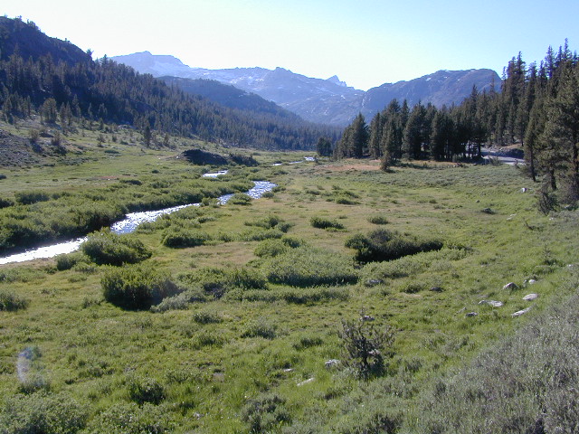
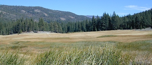
Ranch FENCING w/ barbed-wire is quite common around meadows, to keep cattle out of certain problem areas. Fences also help keep the wandering public out of private lands or sensitive areas.

hikerWhen hiking – stay out of the muddy spots and know that if you choose to hike directly across meadow, you may encounter water and deep, sinking mud. HINT: There is usually a shallow creek running through most meadows, during all times of the year.

Winter snow usually blankets these fragile areas in winter, and when deep enough – making this terrain prime destinations for snowmobilers.

Snow Mobiling

highmeadows

meadow views

Bear in California

black bear

California Black Bears

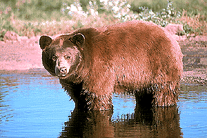
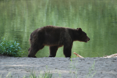
califrepublicAlthough the grizzly bear image graces the state flag, grizzlies were killed off during the gold rush days. Black bears are found in California mountains and foothills, down to lowest elevations in NorCal. California black bears come in more than one color –  light brown, cinnamon, dark brown, and of course, black. For the most part, bears usually stay away from people.
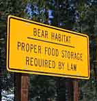
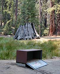
Some areas are more prone to bear problems due in large part to the overpopulation of tourists and abundance of food Bear Habitatprovided by them. Certain California National Parks are particularly notorious for their brazen bear populations. Concentrated bear problems are sometimes posted so be very aware and read signs. If you see steel bear boxes, leave no food or drink in your vehicle. Use the boxes to keep bears from breaking into your car!
California Black Bears

Follow some simple rules:

  • Keep a very clean campsite
  • Clean up all dirty dishes & beverage containers (especially before bedtime)
  • Keep clothing & sleeping bags free from food odors or heavy scents
  • Never leave any type of food garbage ‘bagged up’, sitting outside of a cabin rental, motorhome, trailer, or mountain home
  • Store garbage properly inside a locked, sturdy container inside garage or a shed
  • Stay away from bear cubs, there is sure to be a protective (aggressive) mother in close proximity
  • Try not to hike alone. Make noise & sing on trails to scare away any unwanted animals.
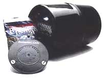
  • Bear storage canisters are available at sporting good stores & at stores in most National Parks.

Proper Food Storage Outdoors:

Bear Boxes @ Campground

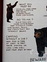
Store food in closed up automobile, not visible. Store food correctly: in trunk of your car, or hidden from sight; in campground food lockers when available.

Lock all food, beverages and coolers in the provided metal bear boxes or bear lockers where available.

Toothpaste, deodorant & anything that has a scent should be thought of as food and stored accordingly.

Bears are so strong they can rip your car door open (in places like Yosemite, where bears are problem and you can get cited for not storing food items properly)

Bears are so strong they can break open a garage door to get to the smelly trash inside, so make sure you utilize the curbside pickup service available in some mountain communities or take a trip to the dump once per week.

carcampers

DO NOT LEAVE FOOD OUT, UNATTENDED, outdoors…
during a picnic lunch, a quick snack, maybe a barbeque, or dinner around the campfire.

Birds, dogs, squirrels and wild animals can move in quickly.

hiker

Backpackers should hang food in nylon bag & drape over weak branch in high in tree: hang your food using the counterbalance method. Ranger who issues your wilderness permit can explain the hanging procedure;

2 stuff sacks (with drawstrings) for your food items, and 60 feet of medium weight cord. 2 carabiners make hanging much easier.

Bear Canisters

Bear Canisters

for your food when exploring the wilderness

hikers tent campers mountains rivers picnic lakes

Bear Repellent / Bear Mace
Bear Pepper Spray


camp  4x4 campfire fish

Additional Storage Tip

As for storing food inside cars:

When primitive car camping on a dirt road, which does not have campgrounds, nor bear lockers, it is possible to store food in the vehicle. BEST location is on the front floorboards with towel over it. With the car alarm set at bedtime, any ruckus should trigger a decent alarm. Any large animal trying to break in will get blasted with alarm siren & most likely will run away. The noise will wake you up as well, to deal with the intruder, if need be.

If a bear does get into your camp area:

  • At night, bring bear repellent can into tent, storing it close to the door. Bring a weapon for added protection.
  • Make as much noise as possible: yell, bang pots/pans, whistle, air horn and get your bear mace or pepper spray ready in hand
  • Raise your hands up to appear larger; lift clothing, increase appearance of size and yell aggressively toward bear.
  • Get your entire camp group together, join hands and spread out; Everyone at the camp should be outside the tents in order to be as effective as possible
  • Throw rocks & small objects; pots, pans, chairs
  • If possible, try to get to your car for protection
  • Sound the alarm on a vehicle &/or honk the horn

If you encounter a bear on a hiking trail:

  • Make as much noise as possible while walking solo. Hum, sing, talk to the birds. Sing or talk to yourself – out loud. Bear bells can be worn on hiking boots. Do not hike w/ headphones on listening to music/radio.
  • Carry bear spray (mace or pepper) in a belt holster, or easy to reach pack.
  • If a bear approaches: stand still, slowly retreat, say a few calming words in a friendly voice and calmly retreat, keep eyes on the bear

encountering a bear  – see more on this topic 

bearcreek

camptruck pinetree  ranger

Bear Meadow
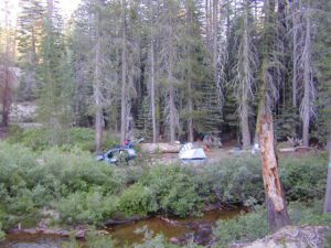
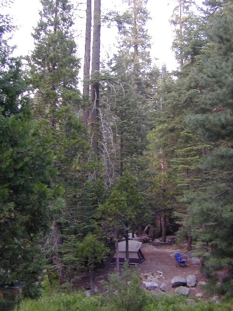
Camp Site at Bear Meadow, Sequoia NF

dirtbikes

Bear Box in Mineral King

driftwood

Plumas Camping

Lil' Northfork Campsite
Primitive (dispersed) camping near Lil’ Northfork

Plumas National Forest Camping – Primitive Camp Sites

Spanish Creek, Quincy, CA

Plumas Forest Camping

NFSlogoNorth Sierra Nevada, Northern California
Listed below are primitive campgrounds w/ minimal facilities or open camping areas in Plumas National Forest. Plumas has excellent fishing as the big rivers & numerous creeks run thru this northern Sierra Nevada landscape. Open camping is allowed on almost any dirt road w/ a current campfire permit

see also – Plumas Campgrounds

driftwood

Brady’s Camp
[on Pine Creek near Argentine Rock]
near Quincy, CA – east on Squirrel Creek Rd. & go 8 mi. to the campground. Elevation 7200′ / Open May – October

pct

Bucks Lake has numerous NFS Campgrounds and PCT access; Overall elevation 5000′ w/ abundant boating, fishing and hiking. Snow in winter closes roads. Cabins, marina, lodge, restaurants. Bucks Lake Wilderness, Gold Lake, Silver Lake

Deanes Valley Campground camp
[along Rock Creek] Hwy.70 Quincy, go 3.5 mi. west on Buck Lake Rd. Head south & 7 mi. to the campground. Elevation 4400′ / Open April – October


35 mph

Ishi Wilderness hiker

Backpacking trails w/ dirt road access. Above Chico, beyond Cohassett; on the border of Tehema Co. and Butte Co. (Lassen NF & Plumas NF)

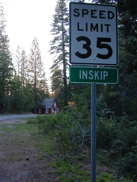
Inskip, CA – Way up beyond the Ridge, well past Magalia and Stirling City – find dense forests, dirt roads and camping. Philbrook Reservoir w/ West Branch Campground NFS. Elevation 5546′

24N10 – Plumas NF

Lakes Basin Recreation Area

lakesbasinhikers
lakes basin day hikers

Snag Lake California
4x4 dirtbikes fish

Ohio Valley – Seneca Road
[off Hwy 89 to southside] Primitive forest camping near Lake Almanor. ATV trails, hunting. Creeks and river camping closer to Seneca. High clearance or 4WD may be needed on these dirt back roads – depending on snow and mud. There is plenty dirt roads back here to explore.

Snake Lakecanoe
[good fishing area] Hwy.70 Quincy, go 5 mi. west on Buck Lake Rd. Head north & 5 mi. to the campground at the lake. Elevation 4200′ / Open April – October

Snake Lake, California

Taylorsville Campground

Indian Valley - Plumas California

pinetree


digger pines
Bald Rock Road in Berry Creek, CA

see also – Feather River California

foreman creek
Foreman Creek @ Lake Oroville, (maxed out) FEB 2017

nearby towns –

Belden Town
Berry Creek, CA
Bucks Lakes, CA
Butte Meadows
Chico, CA
Greenville, CA
Oroville, CA
Paradise, CA
Portola, CA
Quincy, CA
Twain, CA


Camp Clean

Minimal Impact Camping

Camping Tread Lightly

Leave No Trace Camping

Camp Cleaning

  • No Soap in Streams, Creeks or Lakes: Even Biodegradable Soap is not good for the poor fish downstream.
  • Bring a bucket or wash tub – Wash dishes, clothes & yourself 100′ from streams & lakes
  • Food put away & dishes washed up before bed time. Keeping a clean camp will lessen the chances of wildlife or a bear visit
  • Use existing campsite or rock campfire ring to prevent impacting new areas
  • Pitch tent in cleared camp spots only (when primitive camping). No need to trample new spots.
  • Do not set a tent up in a meadow, next to a creek or on a lake shore. It’s too fragile an environment.
  • Bring extra trash bags (heavy duty lawn type is best) for cleaning any litter you might find at your selected camp site.
  • Sometimes you’ll need to shovel out the whole fire pit (full of glass and trash)  to start a fresh new campfire. Building your fire on top of somebody else’s mess means you’ll be inhaling all their left-over garbage.
Always leave a clean camp
always leave a clean camp

leave no trace

Camp Kitchen Outdoors

Try to keep all food, drinks and cooking to one area of the camp. If you plan to cook over the campfire, this choice will make much more sense. Setting up kitchen area in between the tent and the campfire is usually an excellent spot. Having the vehicle close by for proper food storage is also advised, or use bear boxes if available. If you choose to hang your food in the tree, bring adequate ropes and bags.

The last person still up around the campfire at night should double check the cleanlness camp before retiring for bed. Chances are there is a half-eaten snack or left over beverage that could attract the animals. Oh no, the GARBAGE!! Don’t forgot to put your garbage bag away at night, or dispose of it in a proper trash container. Double bag your garbage if you are concerned with it leaking or smelling up the vehicle.

Food Preparation

Potty Breaks in the Outdoors

shovel

  • Bathroom break in the bushes? Don’t leave your toilet paper trash. Dispose of in your vehicle with a plastic bag or back at camp.
  • For human waste – Bring a shovel, dig holes 8″ deep & pack out all toilet paper. Do not bury paper as animals will just dig it up.
  • Certain areas are so sensitive or overused that all solid waste must be packed out, check for the local regulations.

Camp Hygiene in the Outdoors

Tejon California

Tejon Pass / The Grapevine / Tejon Ranch

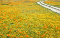
tejon poppies

Interstate 5 California (Kern & LA County)

Tejon is the largest and oldest privately owned ranch land in California. It spans from the northern slopes of the great central valley to the tops of the oak sided mountains. The Tejon Pass 4144′ elevation, is Interstate 5. The golden state freeway zooms by connecting north Los Angeles to the Central Valley…. at 80mph. Watch for CHP near here. It’s easy to go down hill at 90 and not even realize it.

The old portion of this mountain pass is known as the Historic Ridge Route, and many overgrown miles can still be traveled on the back road. Off road and motorbike trails join up with old sections of crumbling highway between Lake Castiac and Pyramid.  The artist Christo erected 1760 yellow umbrellas along these hillsides between Gorman and Tejon, back in 1991. Awesome wildflowers bloom throughout Tejon, Lebec to Gorman each spring from late March thru May.

Angeles National Forest is on the east side of the freeway w/ Castiac Lake and Los PadresNational Forest is on the west side, with Pyramid Lake. Back roads camping and total seclusion is prime pickins in this region, if you have a decent map and are willing to drive a little

Family campgrounds, RV astronomy sites, 4×4 camps on dirt roads, off road parks, walk in campground to alpine meadows, ridge line forest camps, backpacking, horsepacking, mountain biking, hiking. Numerous campgrounds can easily be found by driving 30 minutes from the “Frazier Park Mountain Road” exit off the freeway. Most folks aim for Mount Pinos, but the whole Los Padres forest is devine.

The fort location was established by the U.S. Army in 1854 and was designed to protect Native Americans. Restored adobes and museum feature exhibits on military life and local history. They also hold living history events performed by volunteers in costume. The park has a number of 400 year-old valley oak trees. Mister Peter Lebeck was killed by a grizzly here and there is even a tree to prove it.

Tejon photos

Fort Tejon Uniforms

Originally uploaded by danamight

Tejon Industrial Complex: This is the first large scale development in a master planned laid out by the privately owned Tejon Ranch Corporation. Another trucker stop on the opposite side of the freeway is already underway. In-N-Out Burger, Starbucks, McDonalds, IKEA distribution center, gasoline @ the bottom of the Grapevine. 30 miles south of Bakersfield & just down the hill from Lebec.

towns nearby –


Angeles National Forest Map
Angeles Forest Map
Los Padres National Forest Map: South
Los Padres Forest Map: South

Gorman Gold

Headed to Kern River ?

KERN COUNTY RD 184 = LAVAL ROAD: Wheeler Ridge. This is your freeway exit northbound if you wanna bypass Bako city traffic, on the way to Lake Isabella & Kernville.

Gas up in Lamont, it’s cheaper on the north end of town. Great little taco shops abound. Best bypass thru the farm belt to the Sierra Nevada.