|
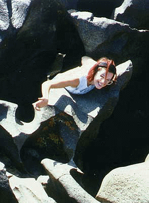
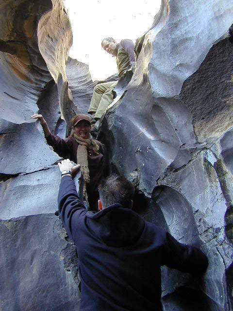
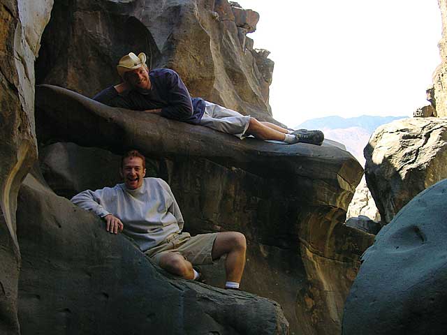
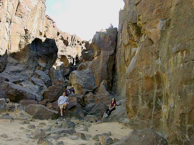
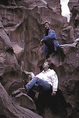
This area is also popular with a few avid rock climbers who love the dark slick walls, the unique landscape & the non-crowded chasm.
an overnight inside of here is very special!

|
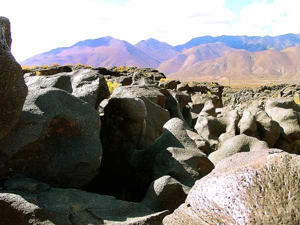
Ancient cinder cone volcanoes spewed
lava into the icy cold Owens River, causing a deep ravine of
shiny black bizarre lava forms. This area called Fossil Falls
is now a dry river bed with traces of obsidian glass & cool
natural formations. No water flows in this particular fall.
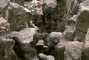
An 80 foot deep gorge in the
ancient Owens River; Super Cool Lava formations at Fossil Falls
US Highway 395 is the primitive Hot Springs corridor in California. High elevation desert w/ minimal trees. Make sure you find your tub, sometime along your road trip & remember, half the fun is getting there.
|
|
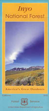
Mojave desert
maps & books
|
Traveling north on Hwy.395, just after Little Lake, Rt. turn right on Cinder Rd. (red dirt road) Follow signs to small parking areas. About 1 mi. east off of Highway 395. Fossil Falls is an Area of Critical Environmental Concern (ACEC), so the BLM ranger can show up at any moment to check things out. Fossil Falls Campground has 11 sites w/ fee. Camping area has a restroom, a hand pump for potable water, fire rings and picnic tables.
- only one mile off highway w/ graded dirt road access
- primitive camp spots available, on first come basis
- picnic tables, fire rings and vault toilets also near main parking lot
- RV campers okay for overnight
- managed by BLM Ridgecrest (Bureau of Land Management)
|