camp clueless transportation sample trips atlases & maps local travel
Advertisement


Destinations | Deserts

valley.panamint


View Larger Map
PANAMINT VALLEY CAMPING
elevation:  1000'

population: 2 ?

CALIF DESERTS Desert
terrain:
huge desert valley with lots of canyons & mountain peaks surrounding

location:
Northern Mojave Desert California
Inyo County
off Hwy. 190 between the town of Trona & Panamint Springs junction. Hwy. 178 runs right through the middle of Panamint Valley

4X4 CAMPING DEATH VALLEY

old mines

camping

lodging

area activities:

desert ghost towns

ghost towns nearby:

  • Ballarat
  • Cerro Gordo
  • Panamint City
  • description: 
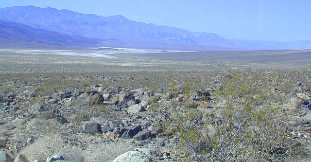
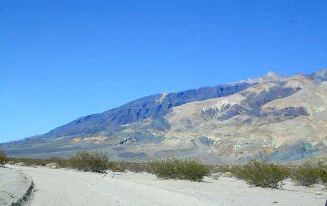
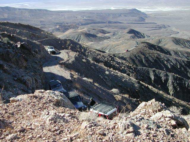
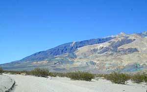
Desert valley running in a north-south direction, located next to Death Valley National Park. Plenty to do & see if you don't mind getting off the paved roads. If you have a 4 wheel drive you will be in hog heaven with the numerous dirt roads & secluded canyons to explore. There is a half-ass campground 
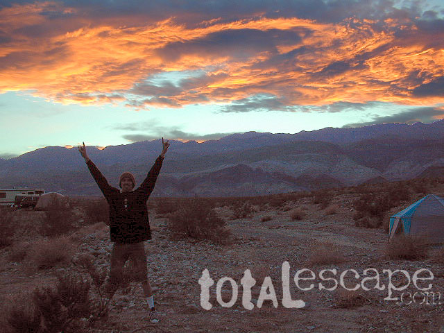
with showers at Ballarat, but everything else is "on your own" back road camping. Please prepare yourself for primitive back road desert travel.

    links of interest:

    Panamint Springs Resort, California
    Panamint Valley Days
    Panamint City, California

    DIRT ROADS DEATH VALLEY

    Death Valley NP Map
    Death Valley NP Map
    Inyo National Forest Map
    Inyo National Forest Map
    Death Valley Map
    Death Valley Map
    Mount Whitney Zone Map
    Mount Whitney Zone Map
    Mojave National Park
    Mojave National Park


    PANAMINT VALLEY

    Jeepers in California

    Total Escape California Camping

    Advertisement


    California Weekends


    Total Escape has been an AmazonAssociate for 20 years!
    Earnings from purchases keeps this site alive.


    Copyright © 1996-2024 Total Escape, totalescape.com / All Rights Reserved.

    classic | lodge | recreation | destinations | journey | ads | sitemap | outside | maps | gear | mobile