|
Cottonwood Lakes Campground
The awe in your mind as your approach the Southern Sierra region on Hwy. 395. Towering granite mountains line the northern Mojave Desert. Just east of Olancha
& Lone
Pine, you can access these rugged canyons via several small
roads. Forest Service Rd # 20S01 to Sage Flat just south of Olancha leads
thru private property but ends up at an excellent trailhead called
Sage Flat. The dirt road # 19S01, also leads up the mountains
in this region & directly leads into the Inyo
National Forest.
Horseshoe Meadows Road
Forest Service Rd #16S02
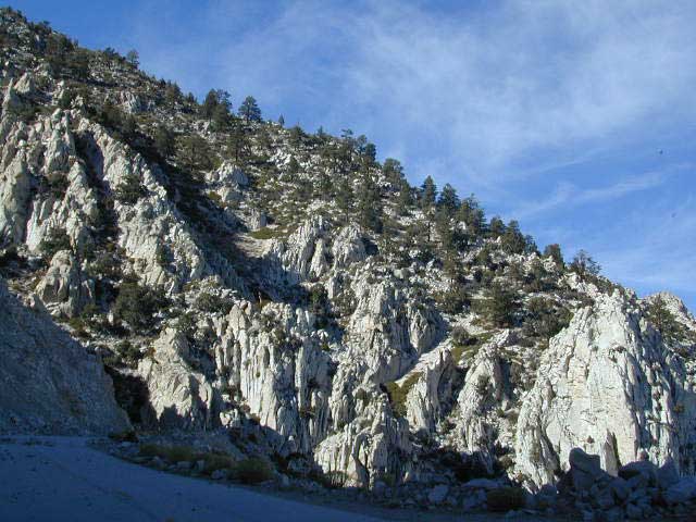
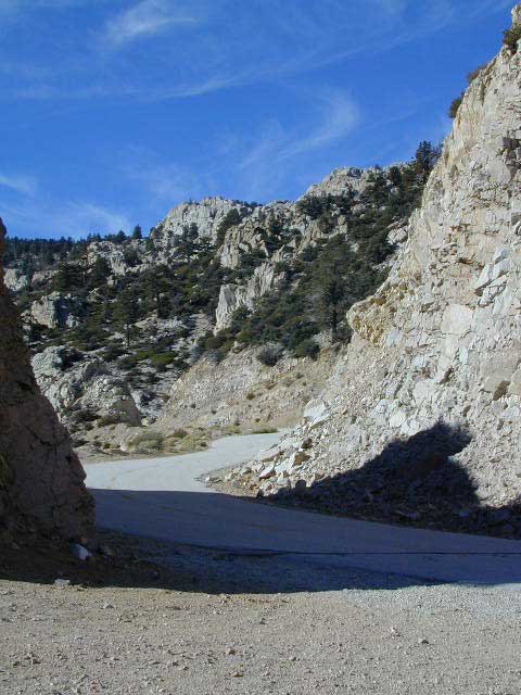
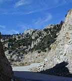
Another great road is Horseshoe Meadows Road. Just south off
the Whitney Portal Rd, this small winding roads climbs southwest
to a lovely pine filled valley.
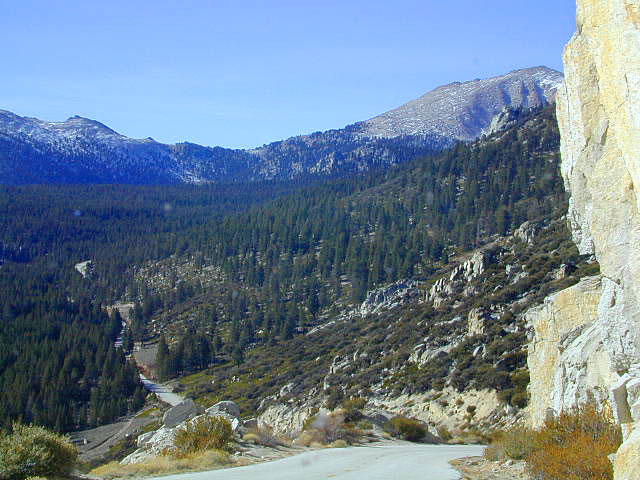
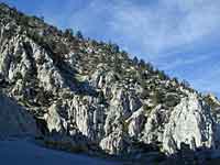
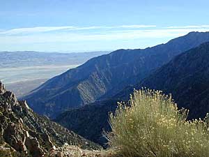
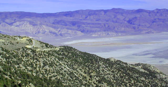
This drive up is worth it just for the views alone. Look over
the Owens Valley from 6000', with a sheer granite cliff - without any guard rails.
Stop the car and get out for photos. It's better that way.
This road is closed almost half the year due to snowfall,
so call ahead to Rangers to find out if it's open. Many horse trailers back and forth on this steep grade, so use caution at all times.
campgrounds
Horseshoe Meadows
Cottonwood Lakes
Golden Trout
NOTE: One night LIMIT on these campgrounds!!
|
Inyo Forest Service Rd #16S02
Backpackers & Horse
Packers:
Imagine an easy to access trailhead with roomy campground
& plenty of parking that puts you at over 9000 feet elevation!
Easy access to infamous Pacific Crest Trail - John Muir Wilderness,
Southern Sierras Wilderness, Golden Trout Wilderness & beautiful
Cottonwood Lakes. Inside of the Inyo
National Forest
aka
Road's End, Cottonwood Lakes, Horseshoe Meadows
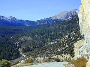
Great destination for those wishing to backpack or day hike into the
high altitude Sierras: John Muir Wilderness, Cottonwood Lakes, New Army Pass, Mount Whitney (the southern access route). This road accesses camping, with peaks above 10,000' and forest and trails at 9400' elevation. This is also a big horse destination, so watch for trucks pulling trailers.
Several pack outfits lead out of these campgrounds.
View Larger Map
|
|
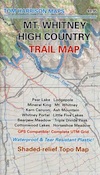
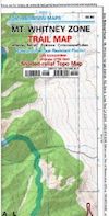
A good map of back roads is advised. NFS Inyo
National Forest map is a decent one that shows all you'll need for outdoor recreation, dirt roads and camping options.
|