Advertisement
Activities
| Camp | Camping
| Destinations | Mountains | CA National Forests
national.forest.inyo
Eastern Sierra Camping, Hiking Trails, Bishop Back Roads & Mammoth Hot Springs
|
|
| Desert |
Country |
Mountain |
| E. California, bordering Nevada,
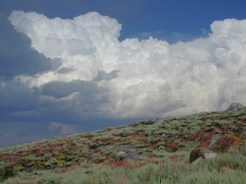
hi-desert terrain on eastern slopes
|
sage brush meadows, pinyon pine trees
& horse camps
|
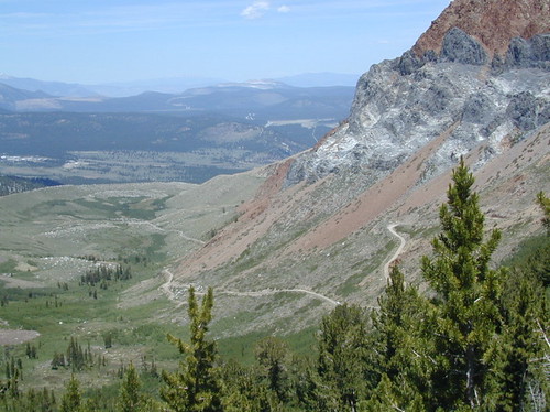
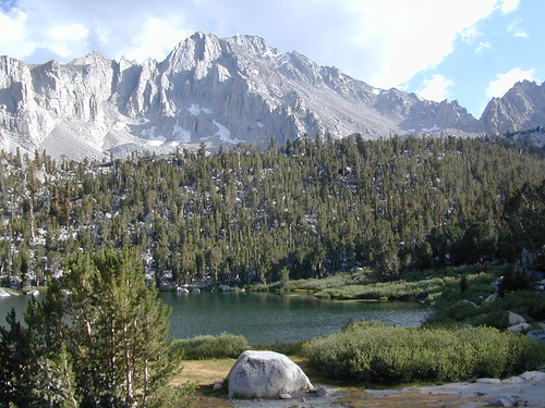
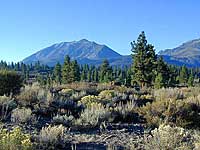
pine forest with alpine meadows &
rivers, some aspens
|
 Home of the tallest peak in the contiguous USA, Mount Whitney @ 14,494' elevation.
|
Designated wilderness in forest:
MOUNT WHITNEY hiking maps
|
Inyo National Forest
Park Headquarters
Bishop
760-873-2400
|

Inyo Ranger Stations
Forest Headquaters
Bishop
760-873-2400
|
Mammoth District
Mammoth Lakes
760-924-5500
|
White Mountains District
Bishop
760-873-2500
|
Mount Whitney District
Lone Pine
760-876-6200
|
Mono Lake District
Lee Vining
760-647-3044
|
Inyo National Forest
government site
|
Alabama Hills
Lone Pine CA
760-876-4444
|
Mount Whitney
Lone Pine CA
760-876-4444
|


Backpacking
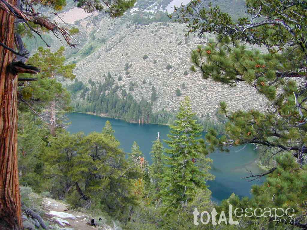
Some of the best backpacking in all of California! Views, forests, granite spires, abundant creeks, tallest peaks, alpine lakes, wildflowers and autumn colors.
- fire permits are required
- permits are required for overnight backcountry camping
- check with the correct ranger district for all back country
camping restrictions
Trail head parking spots located at:
- Kennedy Meadows PCT access
- Sage Flat @ Olancha CA
- Cottonwood @ Horseshoe Meadows Road
- Whitney Portal@ Lone Pine CA
- Shepard Pass @ Independence CA
- Onion Valley for Kearsarge Pass @ Independence
- Baxter Pass via Oak Creek @ Independence CA
- South Lake via Hwy 168, W of Bishop CA
- Lake Sabrina via Hwy 168, W of Bishop CA
- Pine Creek Canyon @ Rovana CA
- Hilton Lakes @ Rock Creek Rd
- Mosquito Flat @ Rock Creek Rd
- Hilton Creek @ Lake Crowley
|
|
Inyo Forest Maps & Wilderness Hiking Maps


 Inyo Forest Back Roads & Off Road
 Eastern Sierra Campgrounds
 Primitive Camping Inyo
 Eastern Sierra Lakes


