


lone pine, California
![]() Mountain
Mountain
![]()
recreation:
parks, forests, rivers & lakes:
lone pine campgrounds
Tuttle Creek Campground
Cottonwood Lakes Campground
Diaz Lake Campground
Portagee Joe Campground
Taboose Creek Campground
Tinnemaha Campground
Eastern Sierra Camping

description:
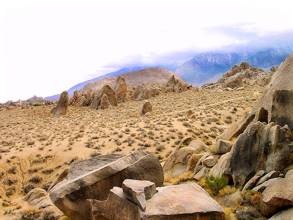
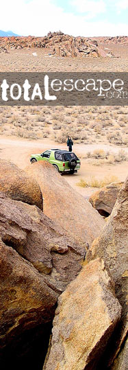
Lone Pine sits at the eastern base of the Sierra's and is a major junction for travelers along Highway 395, from deserts to ski slopes, you may need to stay the night, due to a sudden storm. This cozy town has eats, places to rest & plenty outdoor recreation.
Ranger Stations:
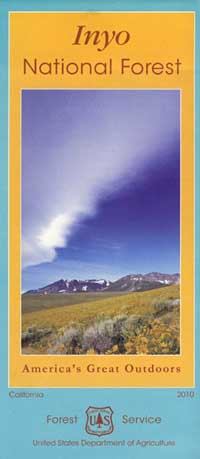
USFS Inyo National Forest
Bishop, CA
760-873-2400
Eastern Sierra Visitors Center
Interagency Map Stop
US 395 @ 136, Death Valley turn
760-876-6200
local links:
Lone Pine Chamber of Commerce
760-876-4444
877-253-8981
https://lonepinechamber.org/
Eastern Sierra Visitors Center
Mt. Whitney Ranger Station
Friends of the Inyo
Eastern Sierra Interpretive Assoc.
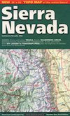
Eastern Sierra - US Hwy 395
Mount Whitney Hiking Permits
Eastern Sierra Transit
Whitney Portal Store
Hiking Lone Pine Peak
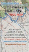
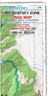
Hiking Mount Whitney
Whitney Cave Hike
Hoodgie Wall
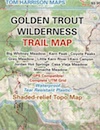
John Muir Wilderness Topo Maps
Elevation Sierra Essentials
Eastern Sierra US

Advertisement


Total Escape has been an AmazonAssociate for 20 years!
Earnings from purchases keeps this site alive.
Copyright © 1996-2024 Total Escape, totalescape.com / All Rights Reserved.
classic | lodge | recreation | destinations | journey | ads | sitemap | outside | maps | gear | mobile