


town.porterville
We hear that this isn't the best town to vacation in, but if you are only staying one overnight - in route to Sequoia parks, then I am sure you won't be terribly disappointed. Pick a hotel carefully. A more enticing option would be Springville, just up the road a piece - with a few cute hotels, cafes and a big river flowing thru town.
porterville, California
![]() Country
Country
![]()

recreation:
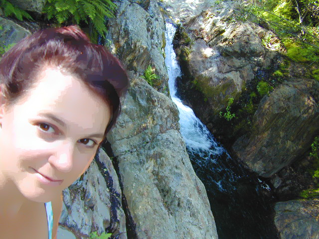
parks, forests, rivers & lakes:
porterville campgrounds
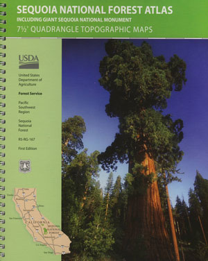
Wishon Campground Sequoia
Wishon Cabin Rental Sequoia
Tule Campground @ Success
Quaking Aspen Cabin Rental
White River Campground
Quaking Aspen Campground
Belknap Campground NFS
Mountain Home State Forest
Balch Park Campground

description:
Agricultural region at the base of the southern Sierras. Next to Lake Success & the Tule River. Oil drilling, farming, cattle ranching.
local links:
Porterville Chamber of Commerce
93 North Main St, Porterville, CA 93257
559-784-7502
http://www.portervillechamber.org/
Tule River Indian Tribe
Armstrong Olives
The Barn Theater
Valley Air & Pollution
Homegrown Organic Farms
Porterville Airport
Black Bear Diner
Porterville Iris Festival

Advertisement


Total Escape has been an AmazonAssociate for 20 years!
Earnings from purchases keeps this site alive.
Copyright © 1996-2024 Total Escape, totalescape.com / All Rights Reserved.
classic | lodge | recreation | destinations | journey | ads | sitemap | outside | maps | gear | mobile