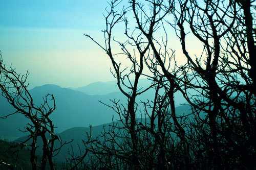
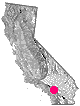
a d v e r t i s e m e n t s

Destinations | Mountain

town.arrowbear

Arrowbear

lodginglodging reservations in Arrowbear

Photo Credit © Copyright Carla Dahl

elevation: 6080' population: 730 zip code: 92382

Mountain

terrain:
mountain top, pine forest with lake & developed tourist town


View Larger Map

location:
San Bernardino County
W of Big Bear Lake
on Hwy.18

maps


recreation:

  • Back Road Exploration
  • Camping
  • Deep Creek Hot Springs
  • Fishing
  • Hiking
  • Horseback Riding
  • Kayaking
  • Mountain Biking
  • Sledding
  • Snow Skiing
  • parks, forests, rivers & lakes:

  • San Bernardino National Forest
  • Southern California Forests Map Set
    Southern California Forests Map Set

    arrowbear campgrounds

    Dogwood
    Green Valley Lake

    tent camping

    description:
    small mountain community in between Lake Arrowhead & Big Bear Lake; a few restaurants & lodging establishments

    nearby towns:
    Fawnskin
    Lake Arrowhead
    Running Springs
    Big Bear Lake
    local links:

    Guided Hikes: Naturalist For You

    Advertise on this site
    San Bernardino National Forest Map
    San Bernardino National Forest Map
    San Gorgonio Wilderness Map
    San Gorgonio Wilderness Map
    San Gorgonio Wilderness Trail Map
    San Gorgonio Wilderness Trail Map
    BigBear/Barstow OHV Map
    BigBear/Barstow OHV Map
    Topo Atlas San Bernardino Forest
    Topo Atlas San Bernardino Forest


    California Weekends
    Copyright © 1996-2012 Total Escape, www.totalescape.com / All Rights Reserved.

    home | lodge | recreation | destinations | journey | trips | advertise | site map | outside | maps | gear


    REI.com


    tahoe cabins