


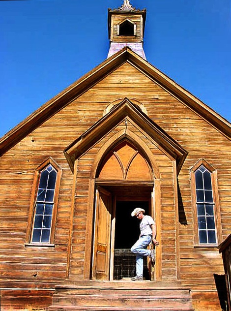
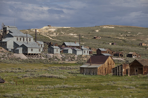
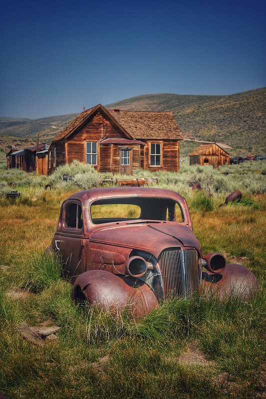
bodie [ghost town], California
![]() Desert
Desert
![]()
terrain:
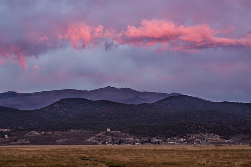
rugged high desert mining area, mountainous with very few trees. plenty dirt roads & ranch lands
View Larger Map
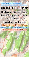
![Bodie [Ghost Town]](/GIFS/maps/towns/Mpbodie.gif)
recreation:
parks, forests, rivers & lakes:
bodie [ghost town] campgrounds
Green Creek California
Crags Campground - Twin Lakes
Honeymoon Flat - Bridgeport Camping
Lower Virginia Creek Camp
Upper Virginia Creek Camp
Trumbull Lake Campground

description:
The most historic & popular ghost town in California. The whole are is a State Park & there is a whole network of great dirt back roads, including Aurora Canyon. 2WD accessible! BODY, BOWDY, BOWDIE, BODI, CA, on the edge of eastern, high desert California, near the Nevada border.
- nearby towns:
- Bridgeport
- Lee Vining
- Walker
- Coleville
- Dardanelle
- Bridgeport


Advertisement


Total Escape has been an AmazonAssociate for 20 years!
Earnings from purchases keeps this site alive.
Copyright © 1996-2024 Total Escape, totalescape.com / All Rights Reserved.
classic | lodge | recreation | destinations | journey | ads | sitemap | outside | maps | gear | mobile