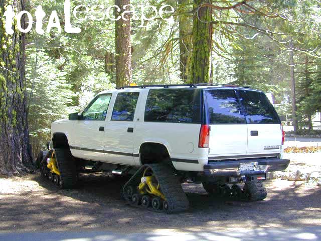
|
Mountain
terrain: mountains, Sierra high country
location:
Tuolumne County East of Sonora on Hwy 108 

|
recreation:
Back Road ExplorationBackpackingCampingHikingHistorical Gold CountryKayakingMountain Biking
parks, forests, rivers & lakes: Emigrant WildernessCarson-Iceberg WildernessStanislaus National ForestKennedy Meadows Central Sierra Nevada Forests Map Set
|
|
description: Small mountain community in the mid Sierra Nevada. Alpine & granite bliss... if the Hwy. 108 / Sonora Pass is open. This is usually the first mountain pass to close due for winter & the last one to open due to heavy snow pack. It is rugged country, and most of the year it is inaccessible. And depending on weather systems, you best come prepared way out here. No joke! That's why Dardanelle exist!
The small market has a backpackers bulletin board out in front, for anyone & everyone needing it. Unfortunately there's plenty missing hiker reports posted, so we are not kidding about how challenging the region is.
- nearby towns:
- Sonora
- Strawberry (El Dorado Co.)
- Sugarpine
- Twain Harte
- Long Barn
|
local links:
Dardanelle California 209-965-4275
Snow Park Hwy 108 Sonora Pass - Sierra Highway 108 Highway Conditions, snow pass
|